West Lake Southern Tip
Total Miles
3.5
Technical Rating
Best Time
Spring, Summer, Fall
Trail Type
Full-Width Road
Accessible By
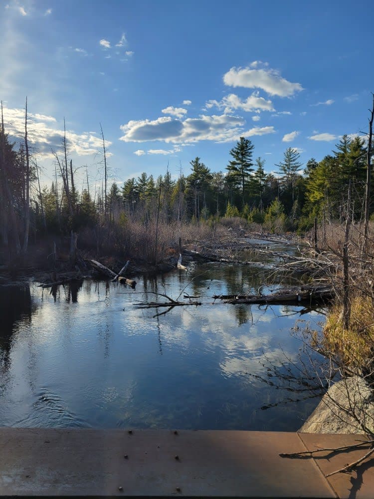
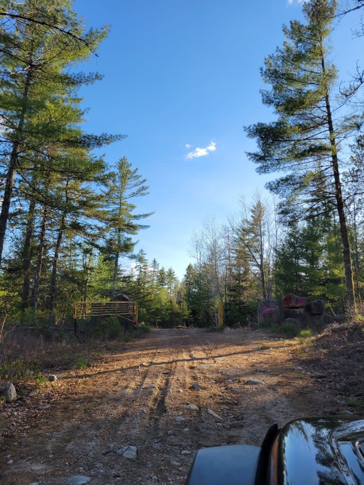
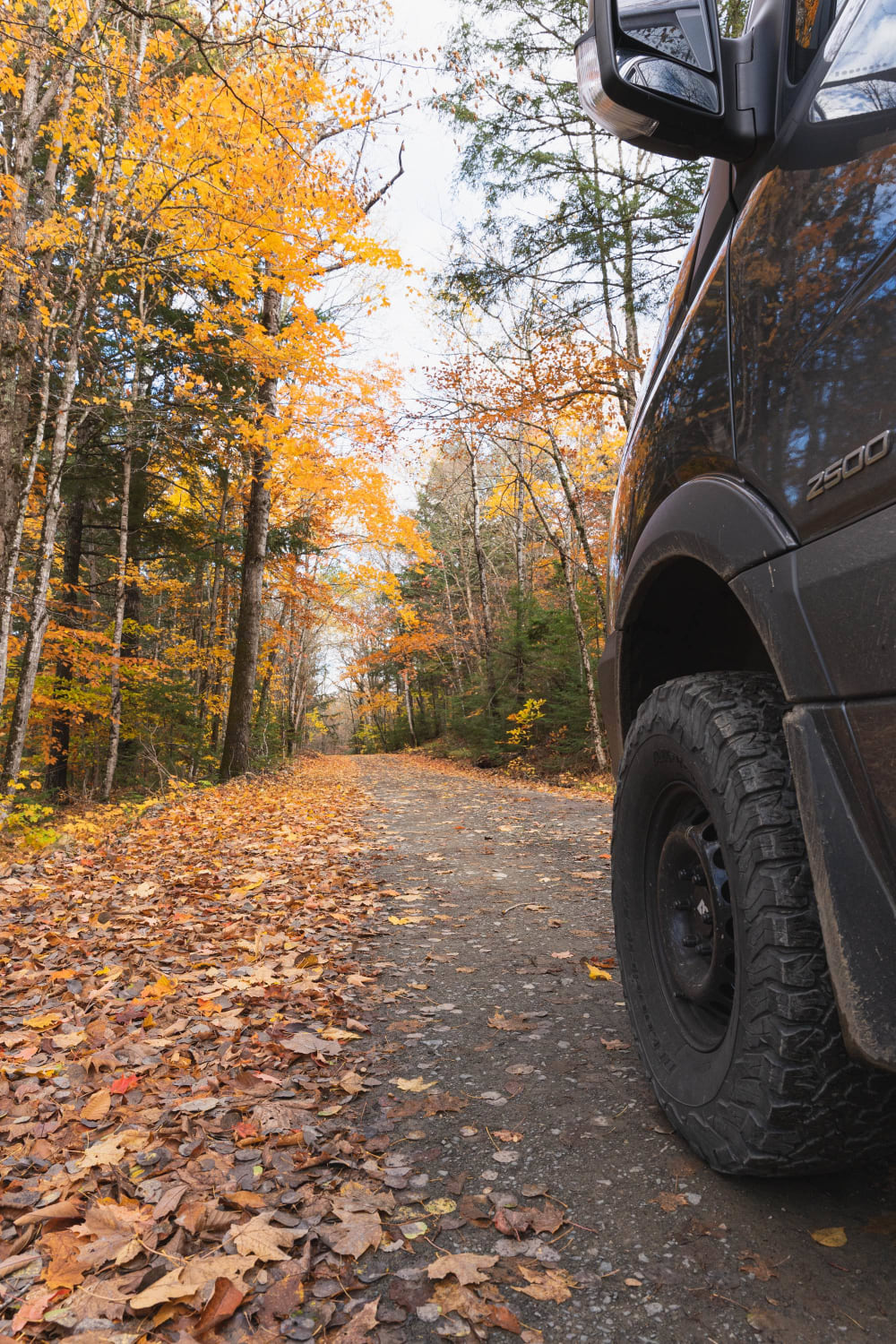
Trail Overview
This trail traverses between Nicatous Lake to the east and West Lake to the west. The trail is primarily dirt and wide enough for vehicles to pass each other. There is a variety of spurs from this trail leading to either lake and to some private seasonal camps. Woods, water, and wildlife are abundant on this trail which ends at a gate with where it splits into new areas to explore.
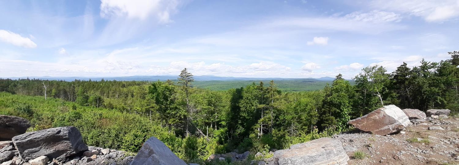
Photos of West Lake Southern Tip
Difficulty
Most of this trail is comprised of gravel roads, and most is wide enough for two vehicles to pass each other. There are a few sections in the lower elevations that have the potential for road flooding.
Status Reports
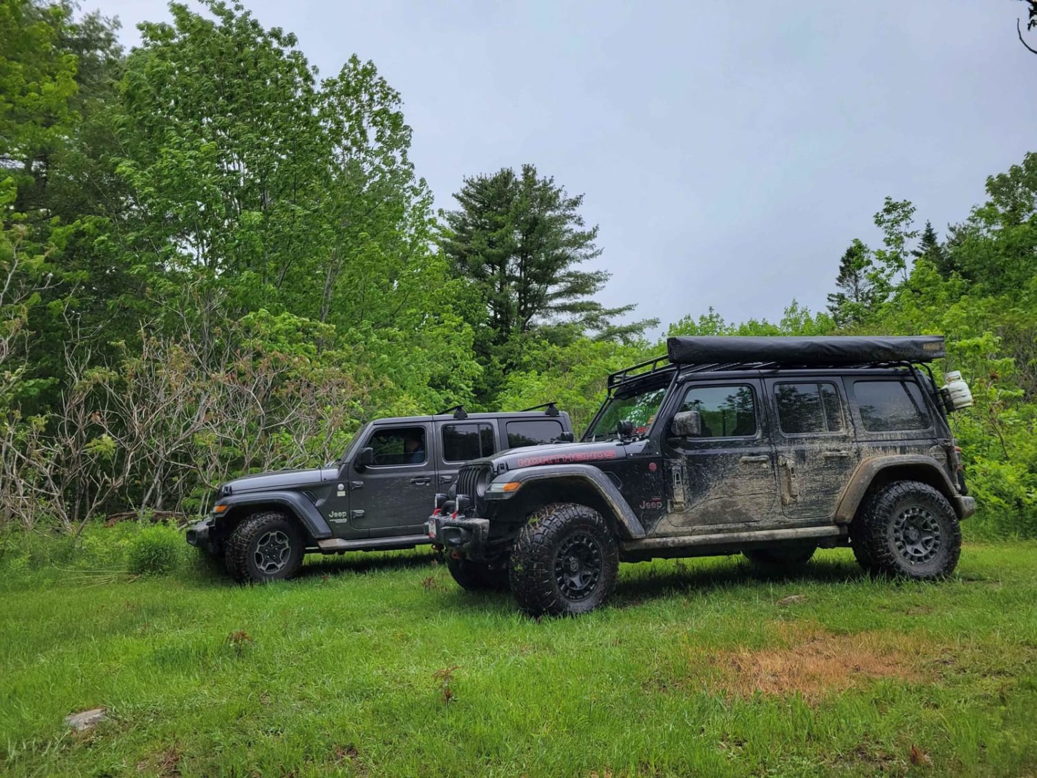
West Lake Southern Tip can be accessed by the following ride types:
- High-Clearance 4x4
- SUV
West Lake Southern Tip Map
Popular Trails

Baker Hill Summit
Scraggly Lake Loop
Deadwater Loop Trail
The onX Offroad Difference
onX Offroad combines trail photos, descriptions, difficulty ratings, width restrictions, seasonality, and more in a user-friendly interface. Available on all devices, with offline access and full compatibility with CarPlay and Android Auto. Discover what you’re missing today!