Cat Island River Trail
Total Miles
8.1
Technical Rating
Best Time
Summer, Fall, Winter
Trail Type
Full-Width Road
Accessible By
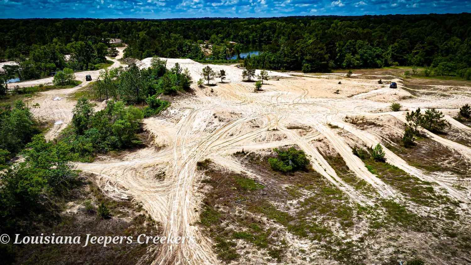
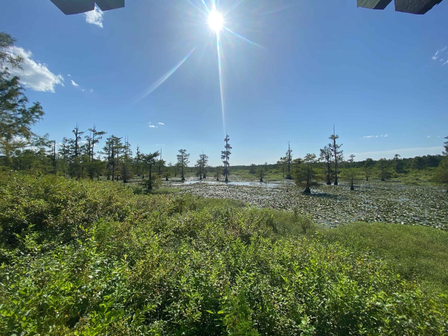
Trail Overview
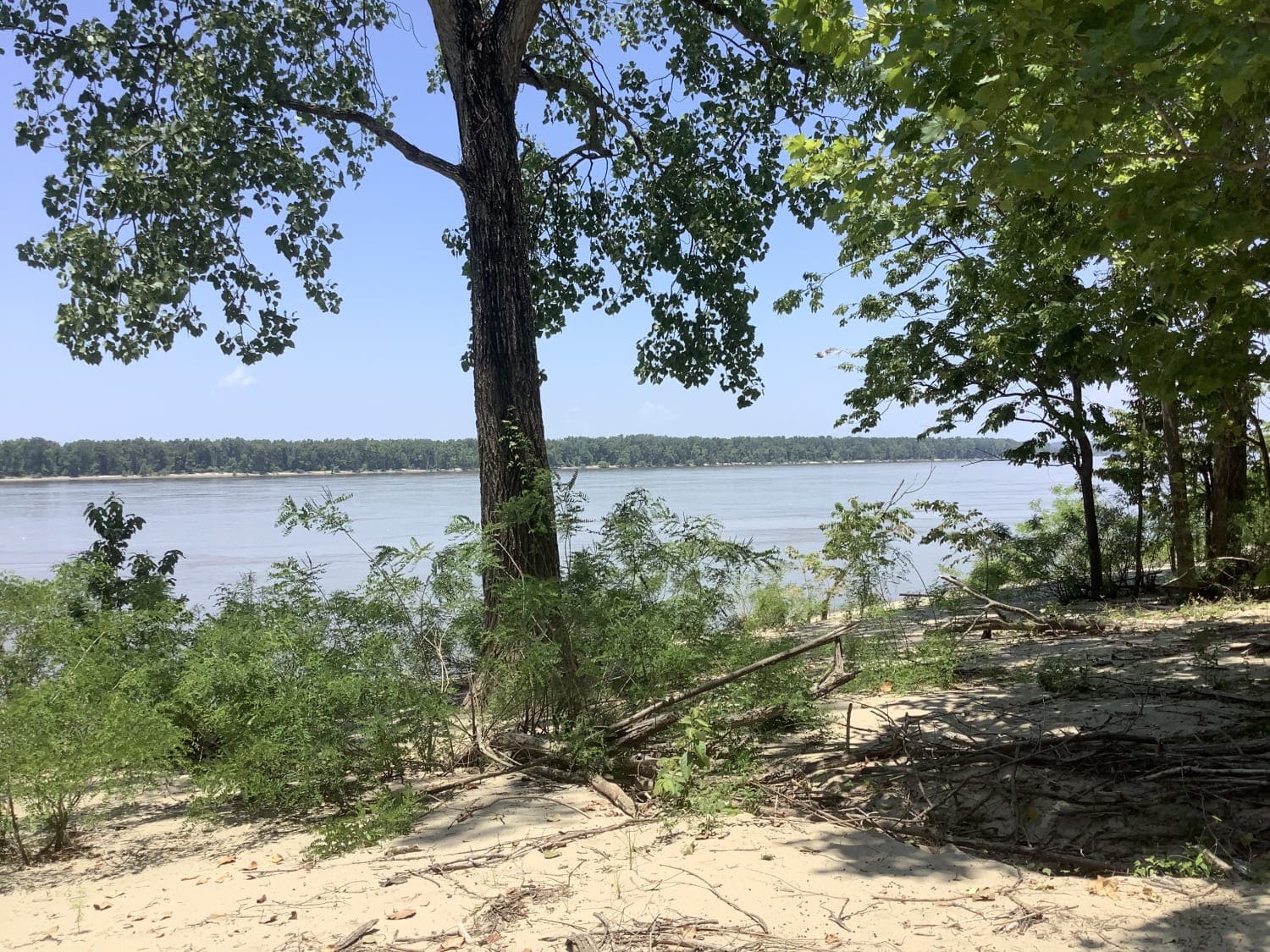
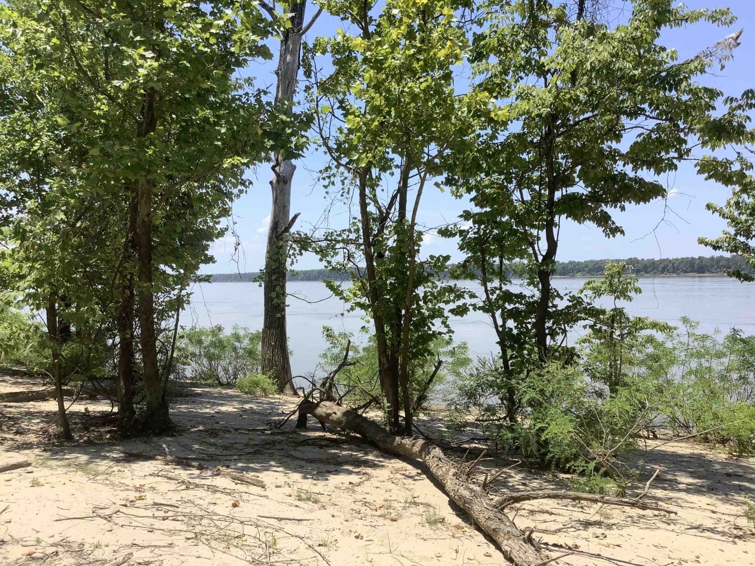
This trail runs along the Mississippi River near the Cat Island National Wildlife Refuge. Depending on the time of year, higher river flood stages can make this trail inaccessible since it lies in a natural flood plain. During dryer periods, the trail is often covered with several inches of silt. This trail provides some great views of the Mississippi River along long undeveloped stretches. The trail itself provides access to a sparse number of camps and old, unused agriculture areas.
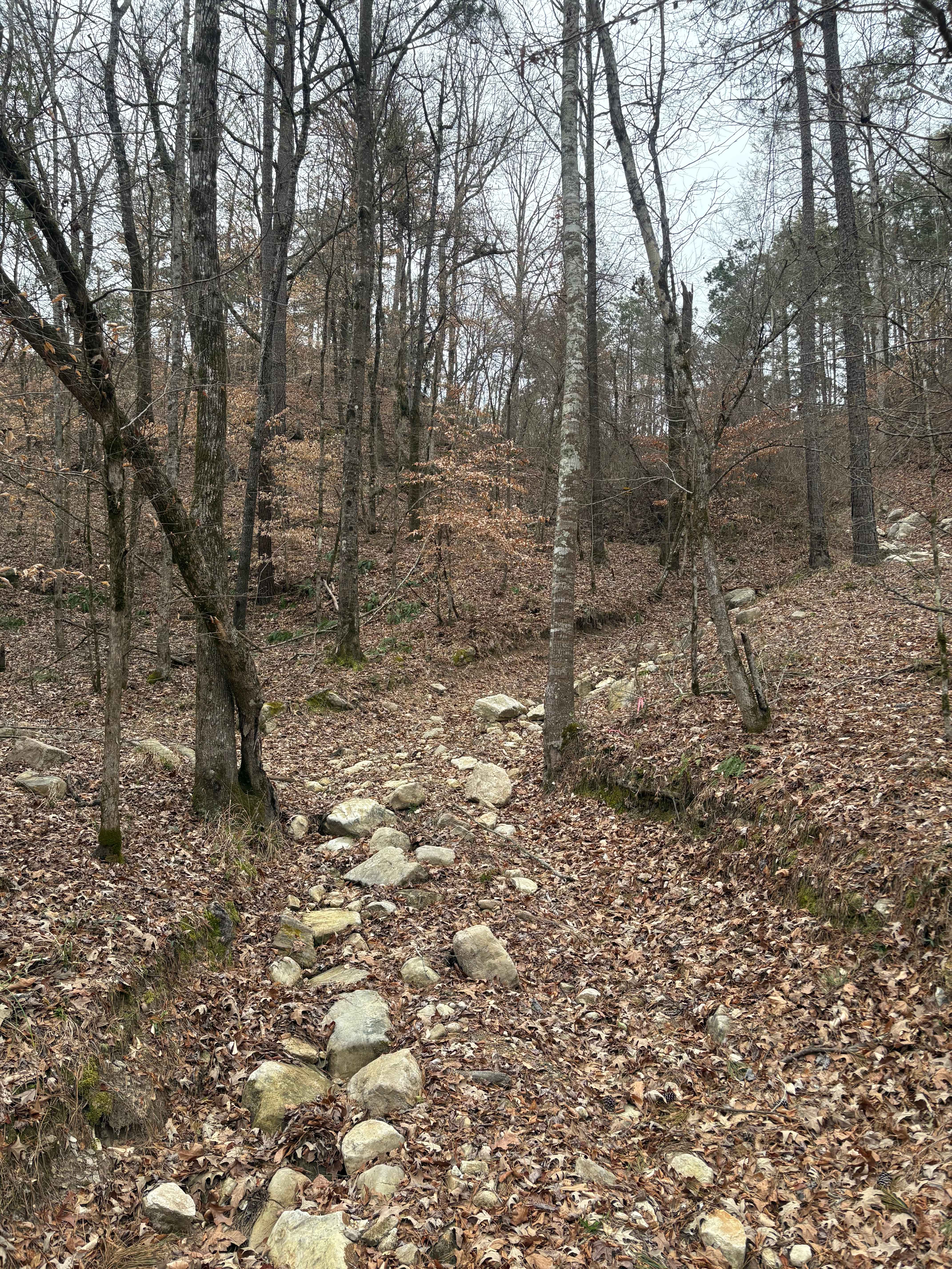
Photos of Cat Island River Trail
Difficulty
The rating of (3) is during a very dry period where there is little mud and dry silt. If traveling on this trail during a wet period, the terrain would require a higher rating.
Status Reports
Cat Island River Trail can be accessed by the following ride types:
- High-Clearance 4x4
- SUV
- SxS (60")
- ATV (50")
- Dirt Bike
Cat Island River Trail Map
Popular Trails
Mountain Road
Rutherford Beach Mesquite Ridge
Iatt Lake Trail
The onX Offroad Difference
onX Offroad combines trail photos, descriptions, difficulty ratings, width restrictions, seasonality, and more in a user-friendly interface. Available on all devices, with offline access and full compatibility with CarPlay and Android Auto. Discover what you’re missing today!