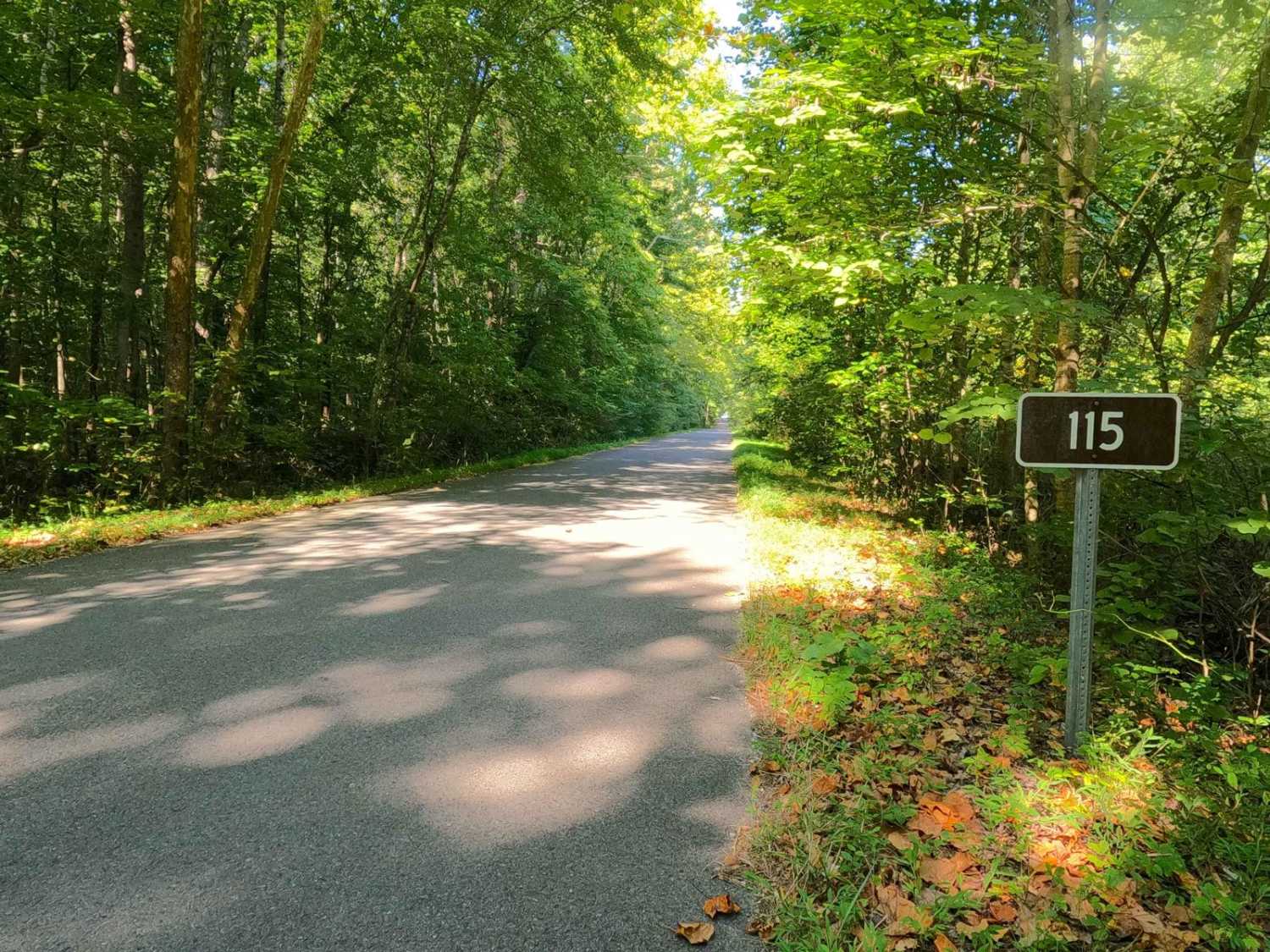
Yale Road - FS 115
Total Miles
0.9
Technical Rating
Best Time
Spring, Summer, Fall, Winter
Trail Type
Full-Width Road
Accessible By
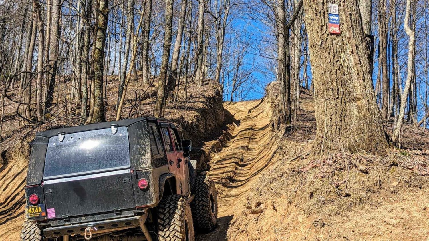
Trail Overview
Yale Road - FS 115, or Birmingham Ferry Road, is a half-paved and half-gravel forest service road through the center-west Kentucky section, Kentucky Lake side, of the Land Between the Lakes National Recreation Area. Its primary use is campsite access, since there are two established campsites along this road, one at the former Birmingham Ferry location mid-track, and the second to the north at the end of the FS 115 at the south shorelines of Pisgah Bay. The Pisgah Bay campsite is very secluded, feeling almost dispersed in ways, yet both campsites feature a dumpster, water access, vault toilets, and established cooking grates/bonfire spots. The main takeaway of this track is seeing the logistics of old transportation from the spot the ferry used to cross being part of the form Kentucky Route 58, this can be found where the pavement turns to gravel at 36.9225, -88.1616.
Photos of Yale Road - FS 115

Difficulty
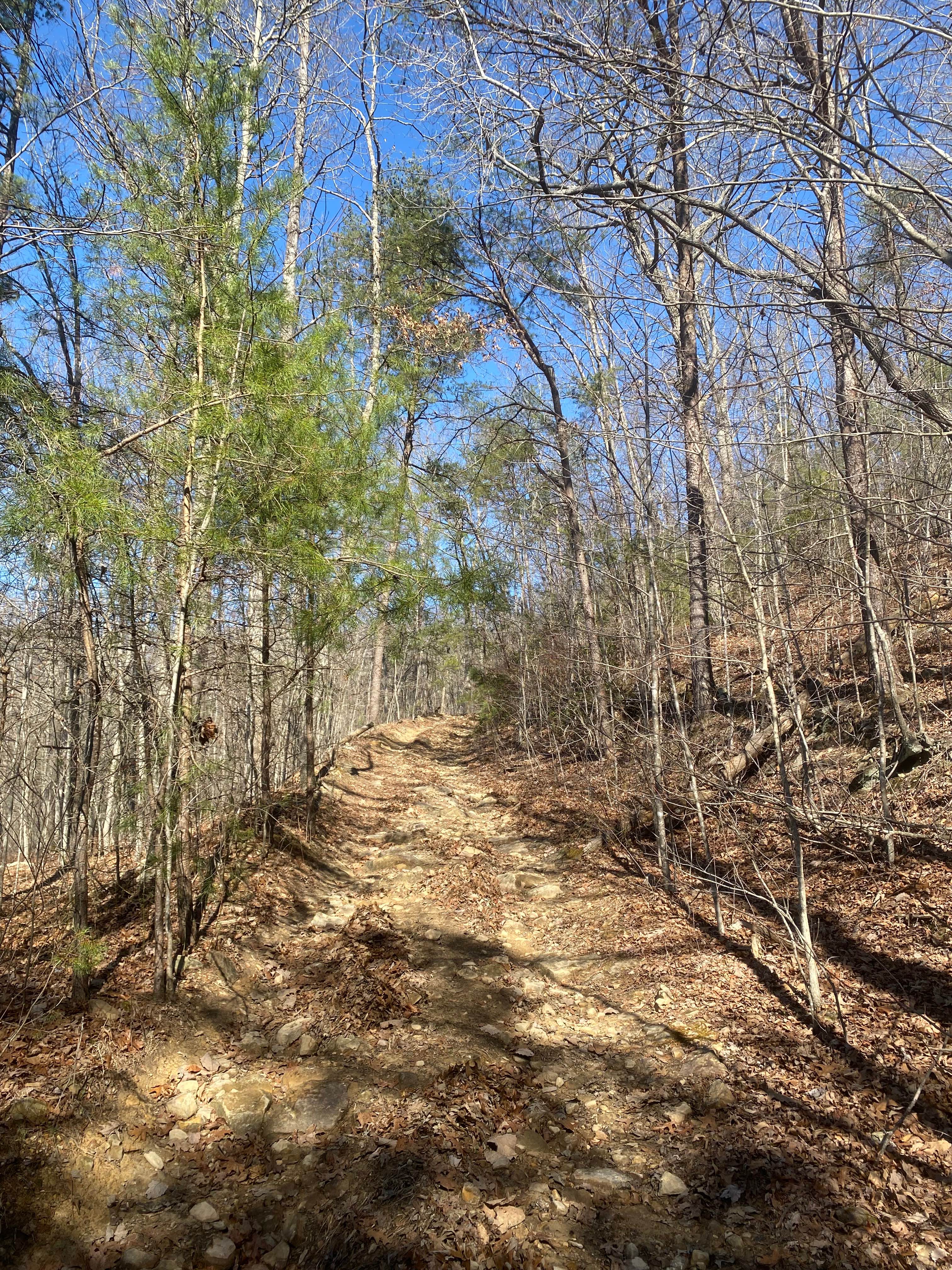
Smith Bay Road is a simple half-paved (east to west portion) half-gravel (south to north portion) road. Generally well maintained, it is given a base rating of 1/10, consisting of very mild grades up and down a few hills. Expect washboards, potholes, mounding of the gravel, spots where the gravel fades to dirt, and mild signs of erosion on the hill, especially on the path going down to the shoreline/boat ramp of Pisgah Bay, here more aggressive erosion, leaning towards a 2/10 rating, was observed when documented in 8-2024.
History
The history of the Birmingham Ferry is a shared experience with the Hillman Ferry which was located just to the north, both served the people of Marshall County wanting to cross the Tennessee River to get to the Star Lime Quarry, the site that TVA (Tennessee Valley Authority) ultimately got mined limestone rock for Kentucky Dam. Despite having its best years of business during the building of the dam, in 1944 documentation shows that Hillman Ferry ceased operation due to the impounding of the Kentucky Lake by TVA, it is reasonable to believe that Birmingham met the same demise being in a stone skip away logistically. This was sourced from https://www.fourriversexplorer.com/old-hillman-ferry/
Status Reports
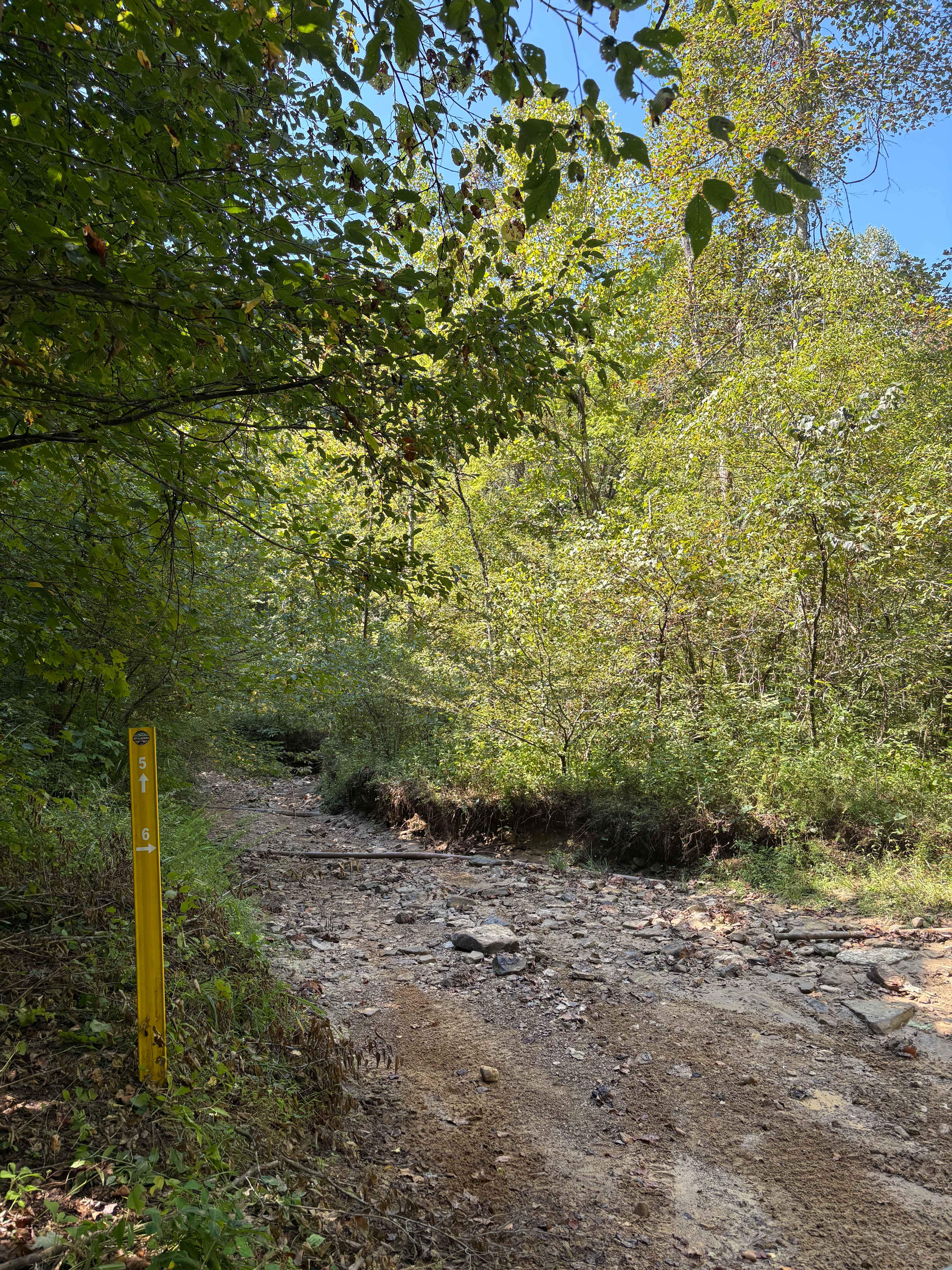
Yale Road - FS 115 can be accessed by the following ride types:
- High-Clearance 4x4
- SUV
Yale Road - FS 115 Map
Popular Trails
Barnes Buck Road - DBBB
Trail 6 FFAT Boneyard
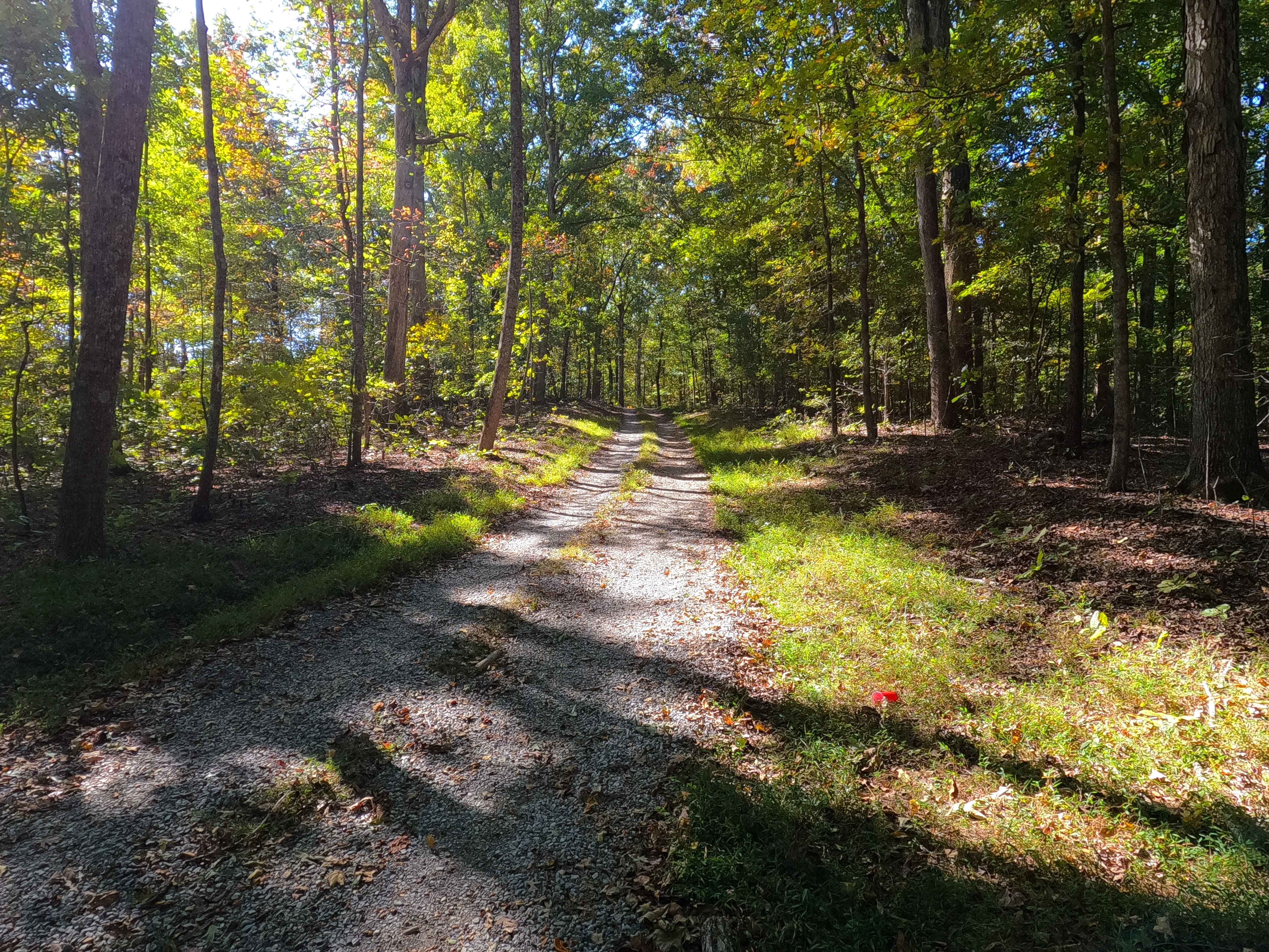
Spring Road - FS 155
The onX Offroad Difference
onX Offroad combines trail photos, descriptions, difficulty ratings, width restrictions, seasonality, and more in a user-friendly interface. Available on all devices, with offline access and full compatibility with CarPlay and Android Auto. Discover what you’re missing today!