Wallace Road - FS 156
Total Miles
1.0
Technical Rating
Best Time
Spring, Summer, Fall, Winter
Trail Type
Full-Width Road
Accessible By
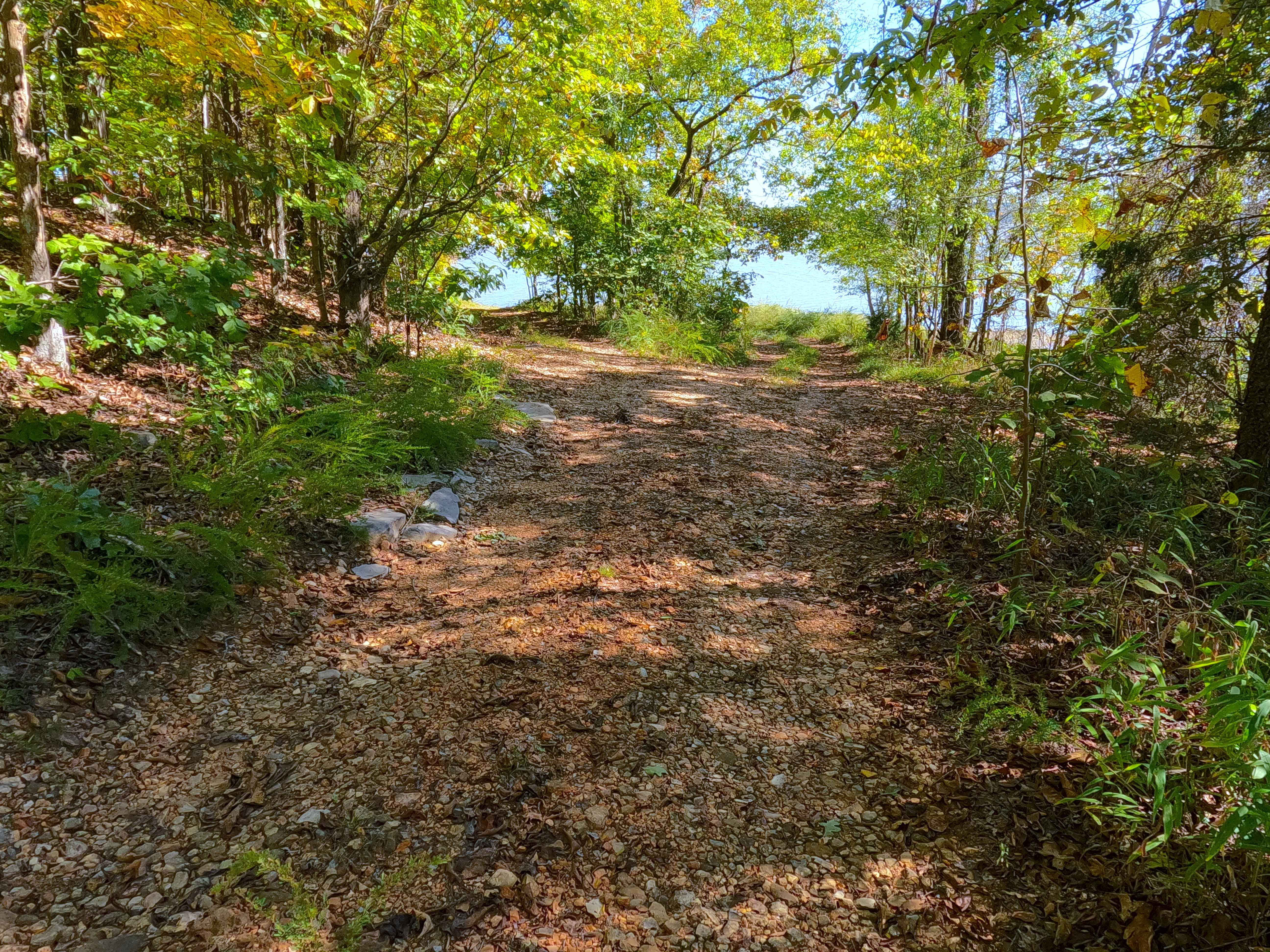
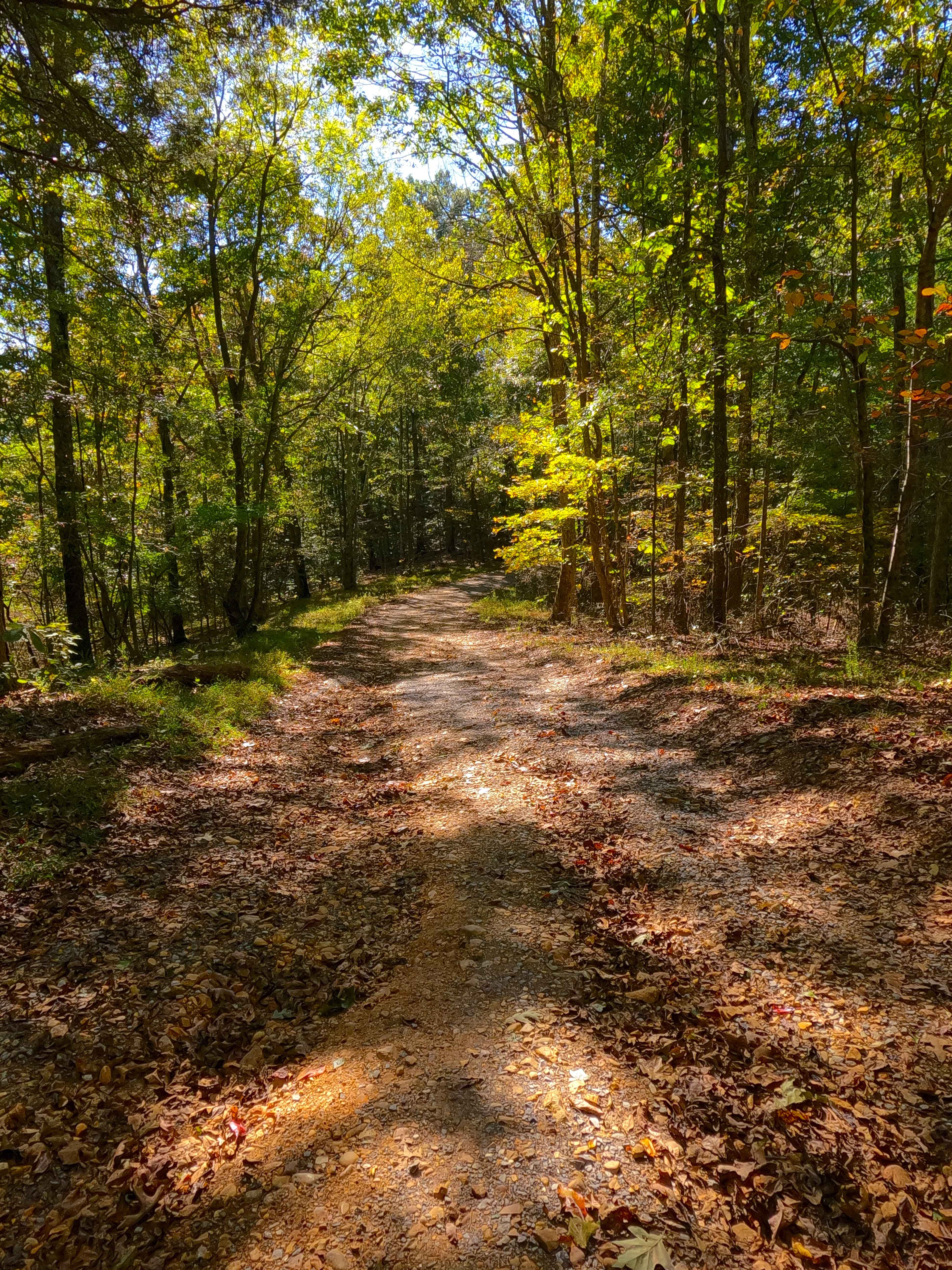
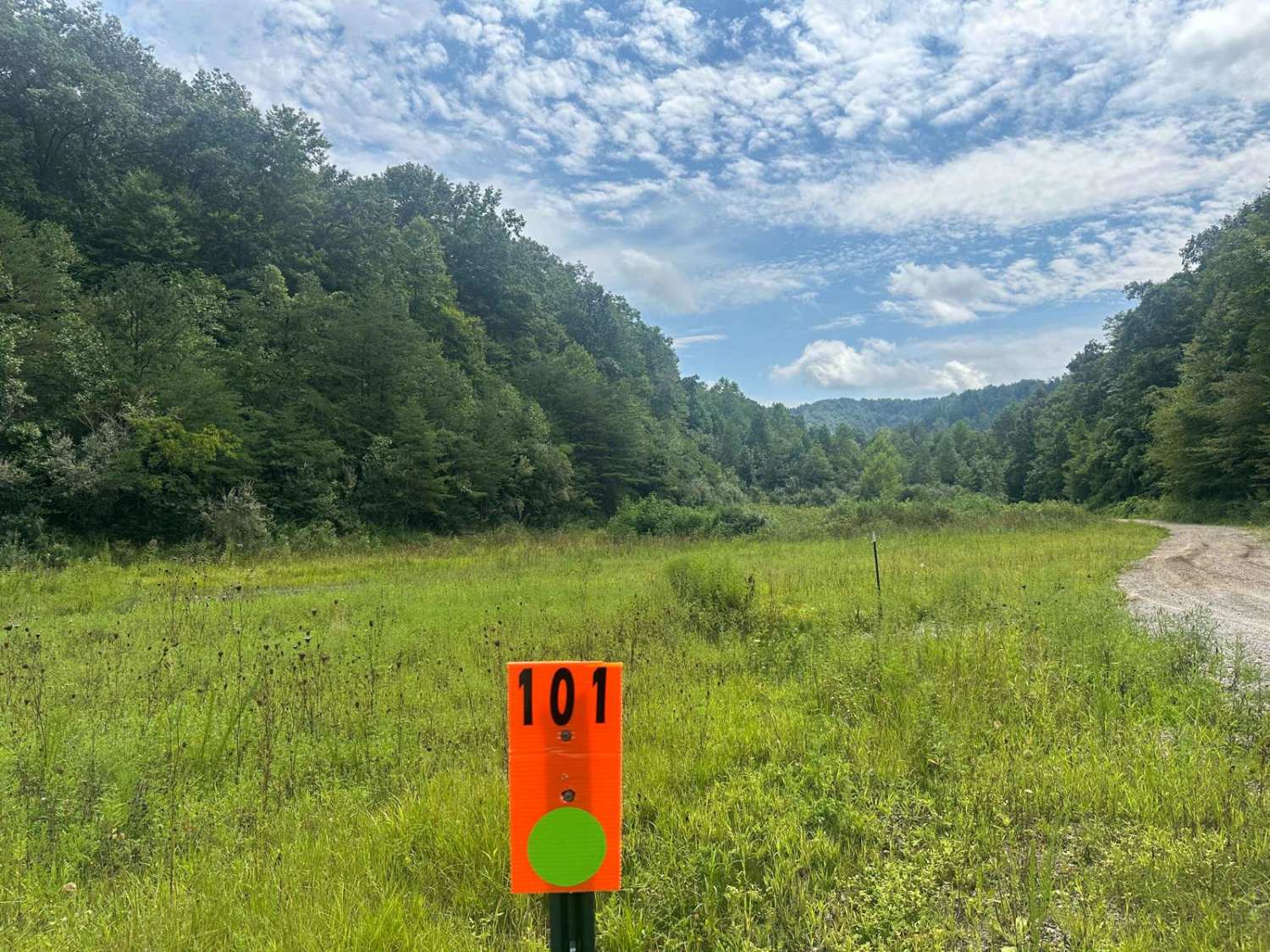
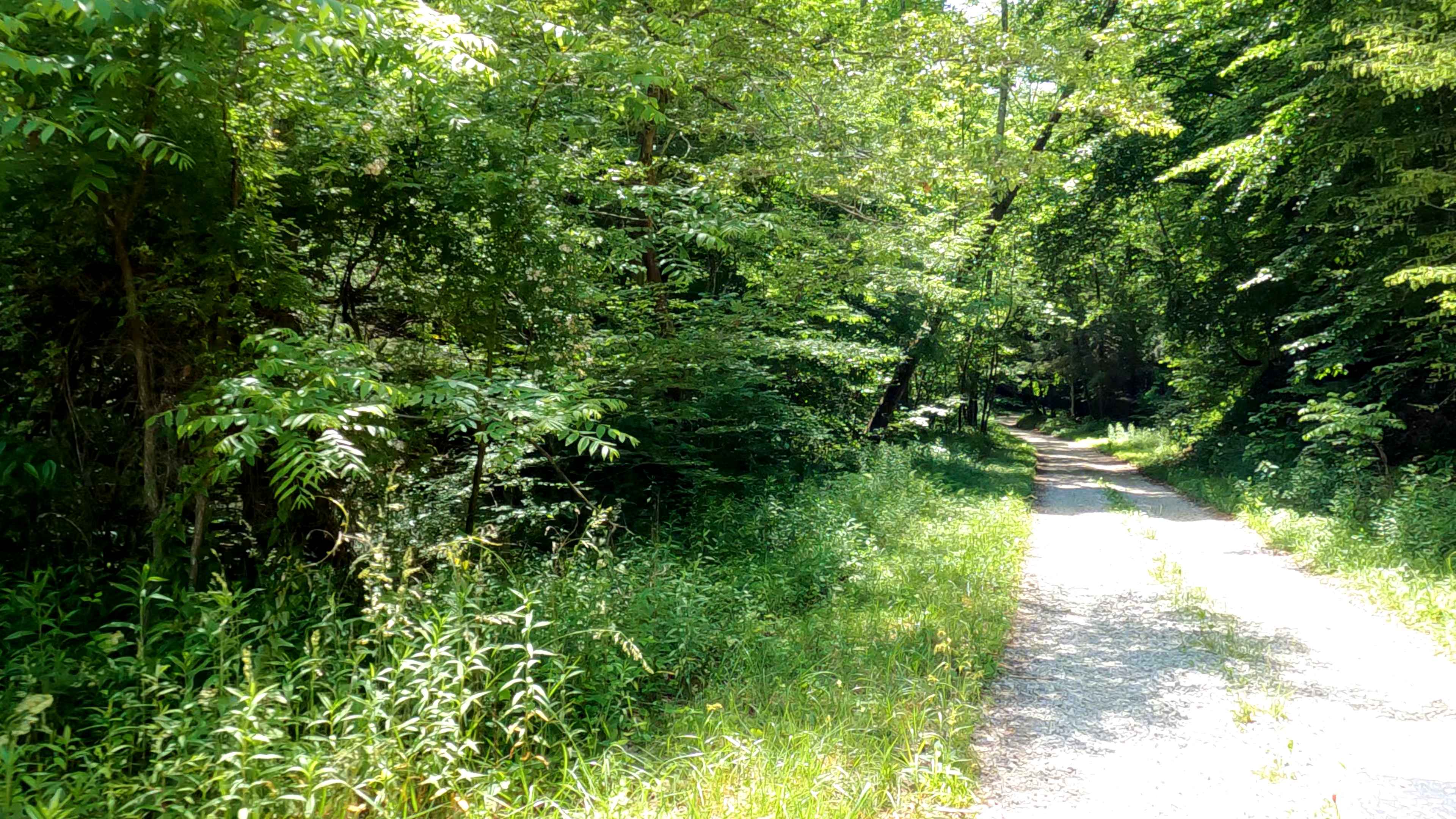
Trail Overview
Wallace Road (FS 156) is a gravel transforming into a natural-improved forest service road through the center-east Kentucky section, Lake Barkley side, of the Land Between the Lakes National Recreation Area. This route comes off from the Energy Lake Road (FS 134) heading east, then turning south to the north shorelines of Pond Bay, with the greater Lake Barkley just to the East. The gentle, clean gravel portion of the road tracks along the spines of the ridge with subtle elevation changes for the first 0.8 miles, only having mild signs of erosion. Then the road forks, with the FS 156 going to the right/south (at 36.83277, -87.98994) to track over the rougher part of the track, over a couple of steep grades paired with a valley in between, before meeting the shoreline turnaround. After the fork, the terrain suddenly changes to coarse natural gravel, fading to clay-like dirt in spots, with active erosion ruts and occasional natural rock cobbles poking out at the surface. In this more natural section, the track also passes the Wallace Cemetery, found at the highest elevation point (at 36.83149, -87.98873).
Photos of Wallace Road - FS 156
Difficulty
Wallace Road is given a base rating of 3/10, for having ruts with 12 inches or less of depth, and cobble-sized (10 inches or less) natural rock lying on the road, over natural sections of coarse gravel and dirt/clay mix, and last for the erosion rutted steep grades present on the last hills, with loose cobbles and coarse gravel. Along the bottom right before the shoreline, there are also several natural rocks poking out at the surface. Full-size vehicles can traverse the trail; just be warned that the turnaround is tight, and there are low-hanging and tight trees. There is a full-size friendly turnaround at 36.82968, -87.98966, before the shoreline turnaround. Difficulty could increase in wet conditions, heavy use, or a lack of maintenance.
History
Wallace Road leads to the small Wallace Cemetery (at 36.83149, -87.98873), not to be mistaken for the Crook-Wallace Cemetery in Tennessee off FS 225. It features six plots, honoring those buried here who lived between 1800-1903. Please respect those who came before us, and leave the cemetery as it was, or better than you found it. The history of the roads FS 154-158, is all connected in one way, that being the old Kentucky Road 289, which historically ran right along the bottom of the eastern ridges of LBL or the western shore of Lake Barkley, connecting all the old county roads that either became or were replaced with Forest Service roads. These roads connected to the old 289 at roughly 25-200 feet in the water from the modern shoreline. The south end of old 289 started at the US Route 68 and Kentucky Route 80, at 36.80202, -87.98454, going north all the way to the Crossroad Church (FS 123), which completely rests on the old 289 track, and hosts its northern endpoint, at 37.01368, -88.09205. The old Crooked Creek Bridge, part of old 289, can still be seen in the winter pool at the end of the FS 154. Documented by Christopher Menz, 10/2025
Status Reports
Wallace Road - FS 156 can be accessed by the following ride types:
- High-Clearance 4x4
- SUV
Wallace Road - FS 156 Map
Popular Trails
Cassidy Cemetery - FS 337
Rock Lick / Pipeline Exit
Wayne Benson Road
The onX Offroad Difference
onX Offroad combines trail photos, descriptions, difficulty ratings, width restrictions, seasonality, and more in a user-friendly interface. Available on all devices, with offline access and full compatibility with CarPlay and Android Auto. Discover what you’re missing today!