Rock Lick / Pipeline Exit
Total Miles
5.6
Technical Rating
Best Time
Spring, Summer, Fall, Winter
Trail Type
High-Clearance 4x4 Trail
Accessible By
Trail Overview
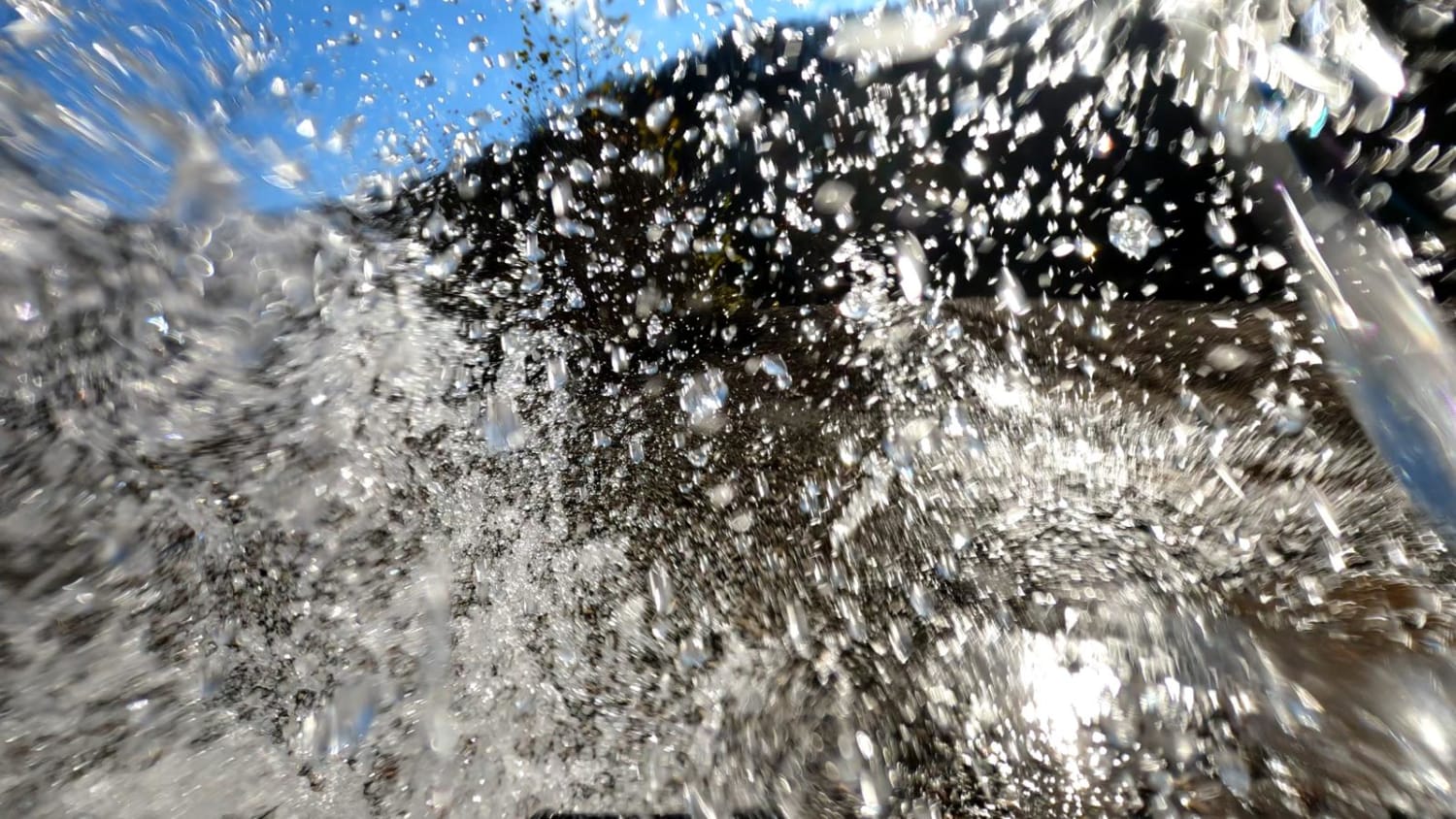
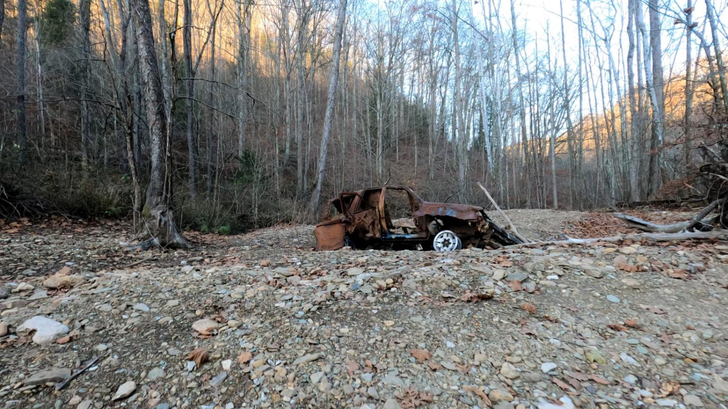
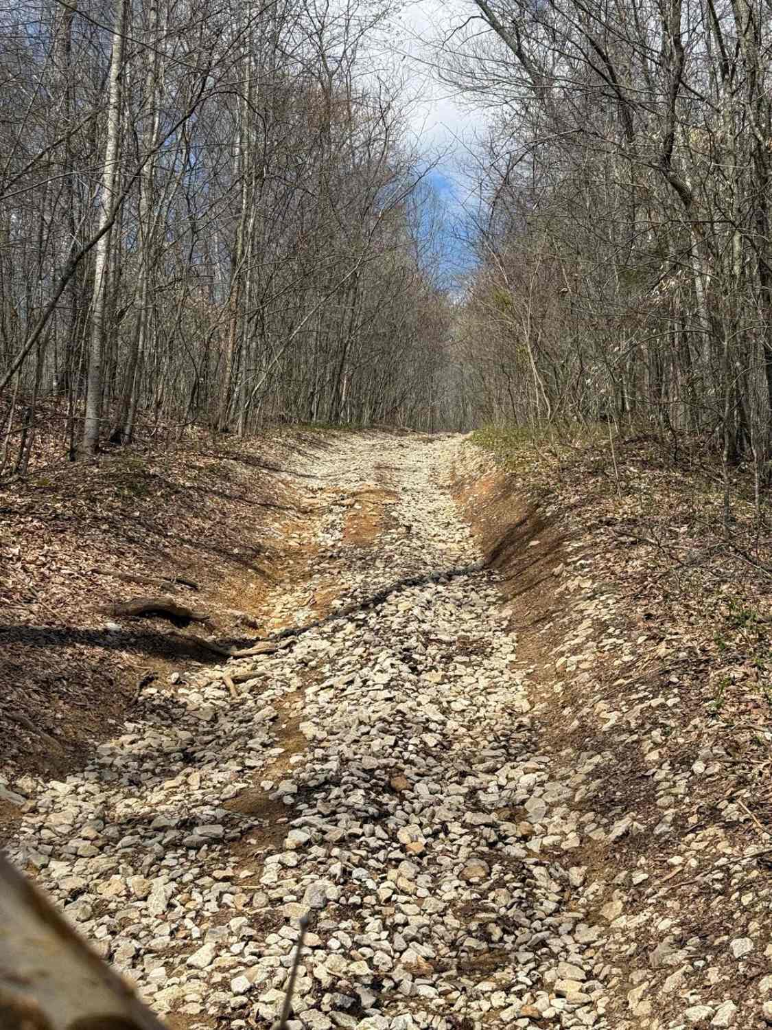
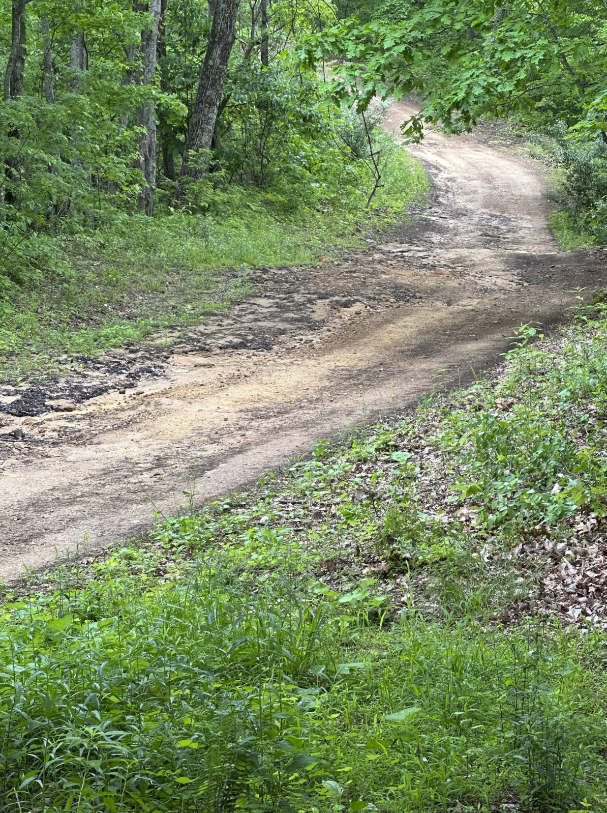
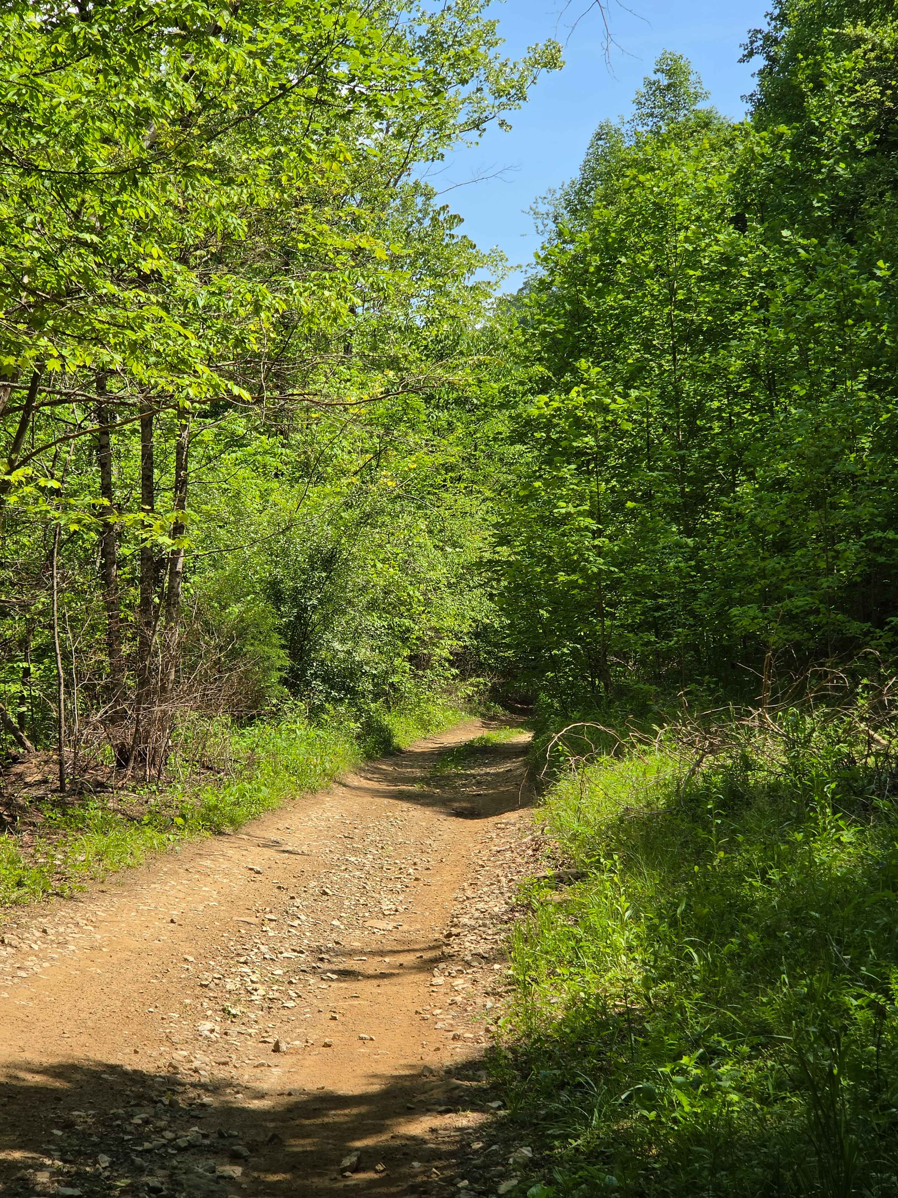
This is a very scenic trail that runs along and through Rock Lick Creek. There are multiple creek crossings, as well a few deep and off-camber mud holes. Most of the deep mud holes have a bypass. The creek has a bluish green tint and flows year round. Rumor has it that there is good smallmouth fishing in this section of the creek. This trail has many exits. This one will take you up and out the pipeline.
Photos of Rock Lick / Pipeline Exit
Difficulty
There are mud holes, creek crossings and some stair-step rocks to climb on this trail.
Status Reports
Rock Lick / Pipeline Exit can be accessed by the following ride types:
- High-Clearance 4x4
- ATV (50")
- Dirt Bike
Rock Lick / Pipeline Exit Map
Popular Trails

upper teges
The onX Offroad Difference
onX Offroad combines trail photos, descriptions, difficulty ratings, width restrictions, seasonality, and more in a user-friendly interface. Available on all devices, with offline access and full compatibility with CarPlay and Android Auto. Discover what you’re missing today!