9 to 8 Road
Total Miles
0.7
Technical Rating
Best Time
Spring, Summer, Fall, Winter
Trail Type
Full-Width Road
Accessible By
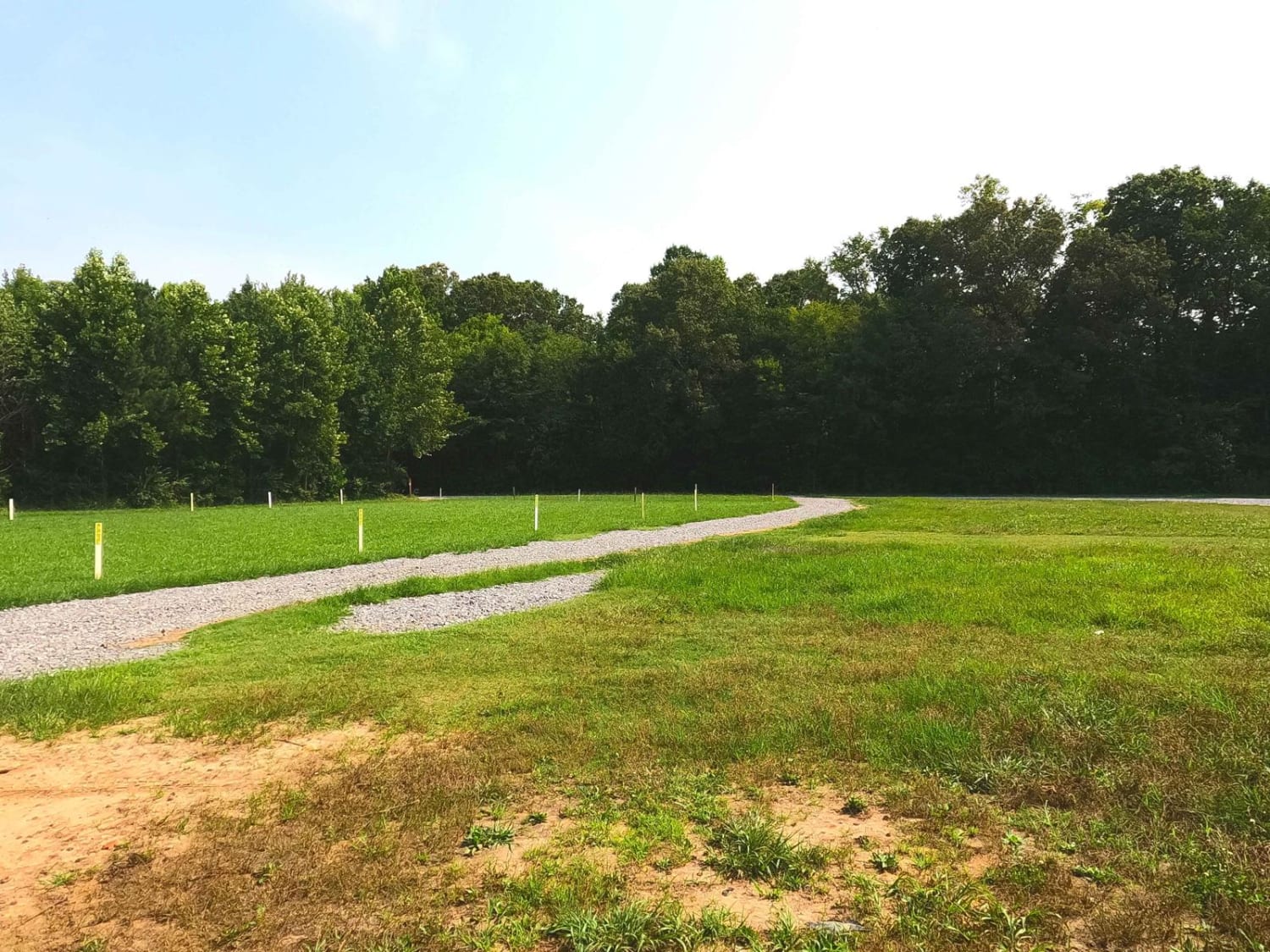
Trail Overview
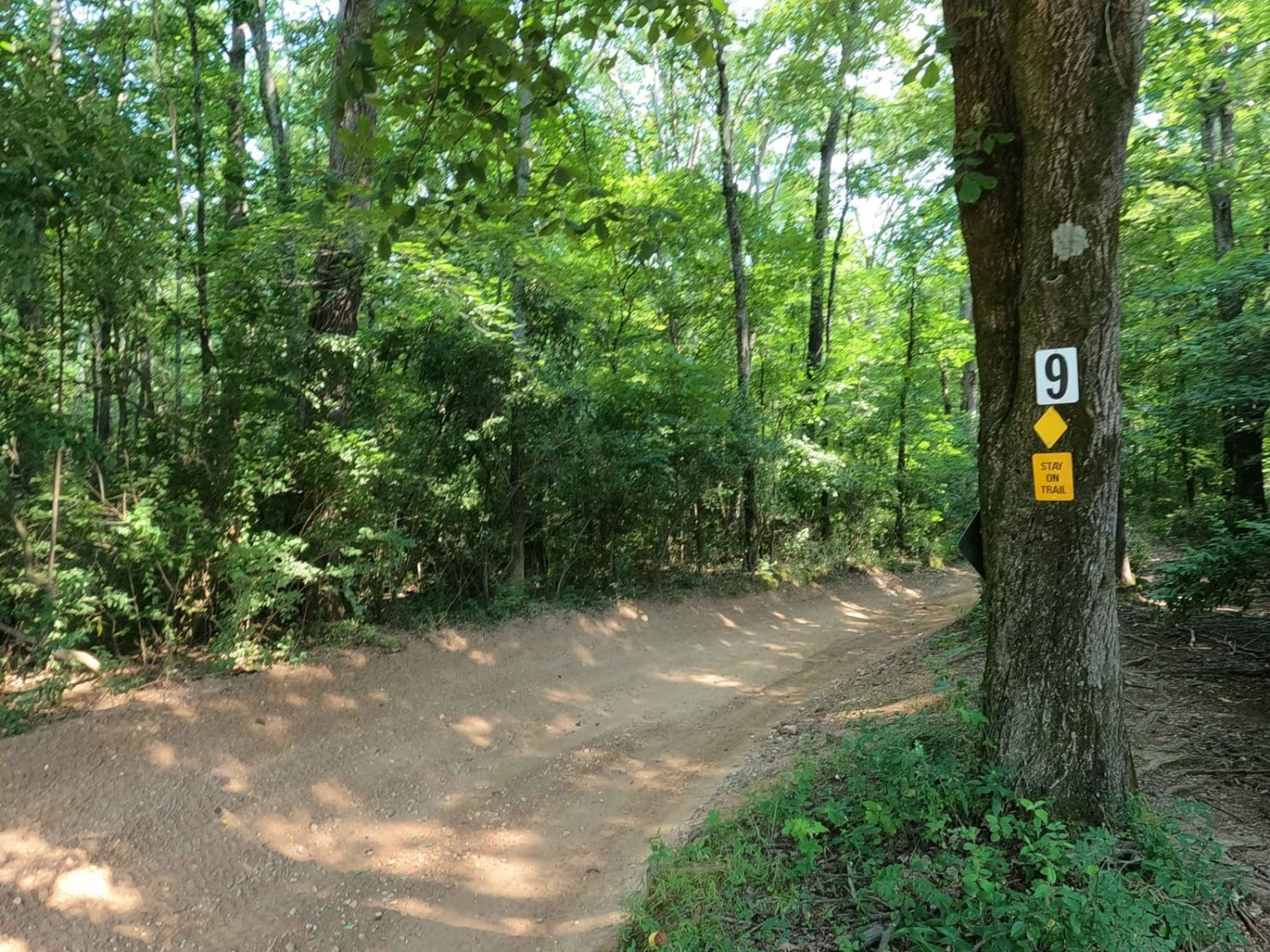
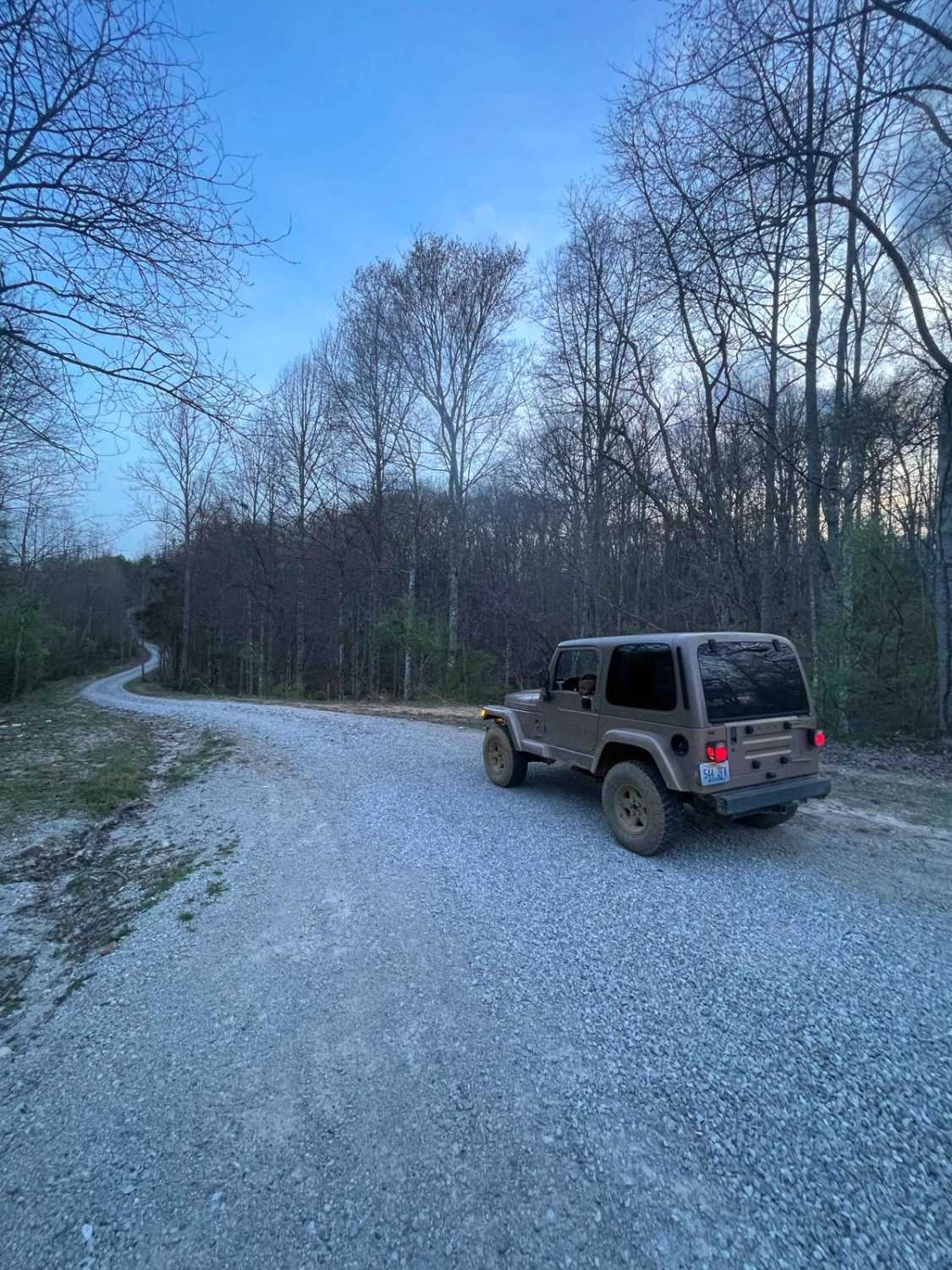
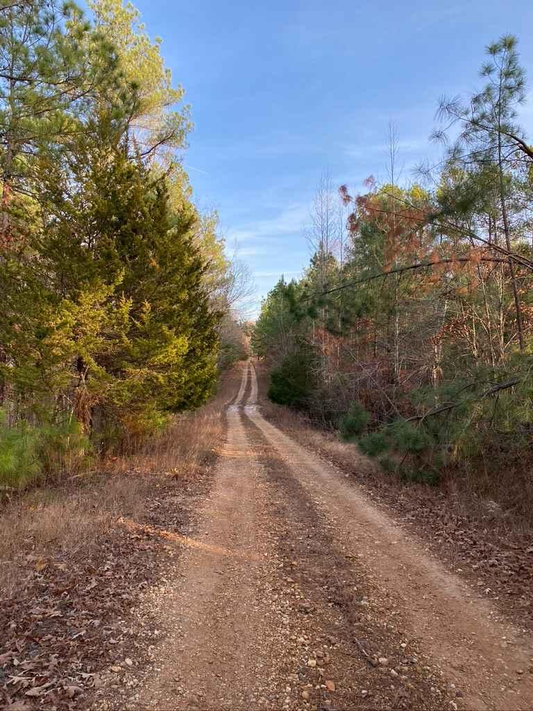
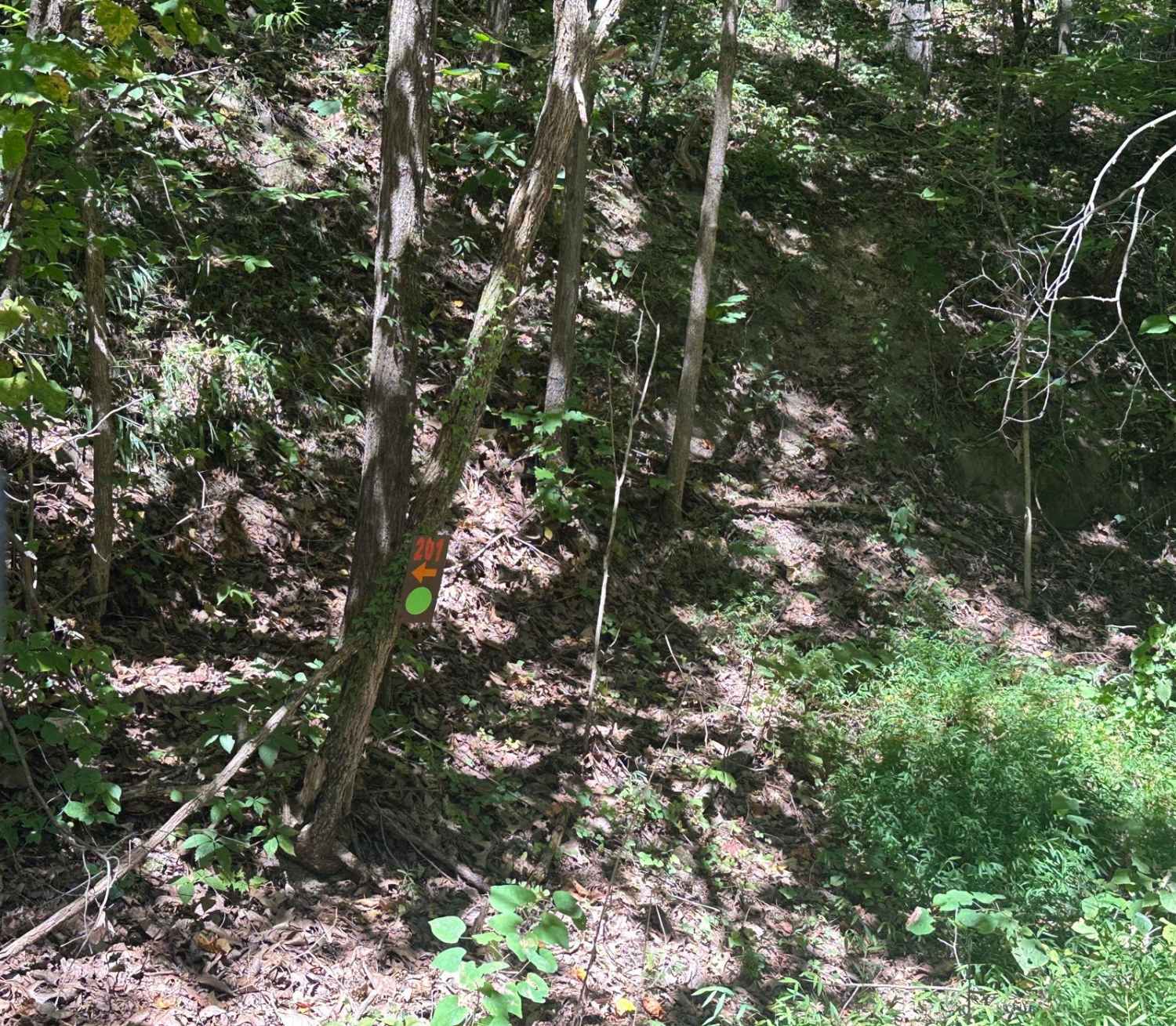
The Turkey Bay 9 to 8 Road is a generally maintained primary gravel/creek bottom road, connecting point to point from the 9 intersection to the 8 intersection inside the Turkey Bay OHV Area, within the Land Between the Lakes National Recreation Area. Its official ID is forestry M01. The road starts at the Turkey Creek Road FSR 167, near the entrance gatehouse, and heads north towards the 8 intersection. The main form of the road is the North Fork Turkey Creek, which forms the eastern boundary of the the Turkey Bay OHV area. The baseline terrain of the road is course creek gravel surrounded by treelines. When the North Fork Turkey Creek flash floods, the road will have sections of moderate water collection in length and depth, but in a typical dry setting, the road will have more scattered-out puddles and mild water collection spots. 9 to 8 Road is just the kick-off when exploring the eastern side of Turkey Bay OHV.
Photos of 9 to 8 Road
Difficulty
The 9 to 8 Road's proximity to the North Fork Turkey Creek brings its number one difficulty to the table: water. The water can be anywhere from 3-inch, deep-scattered puddles, to 1-foot-deep water directly connected to the creek to the east. This is after a normal to moderate rain. A significant downpour could flash flood the road, possibly as high as 18 inches in spots. Outside of the water, the road is mild, featuring a course creek gravel and dirt at the base that seems to generally be maintained and smoothed out from time to time. This road has a base rating of 2/10 for the water collections and mild bumps and dips along the way. The road could be less challenging in extremely dry conditions and more difficult in times of heavy rain or wet conditions. Note: stay on the path and look for the signage stating where the boundaries of the road are.
Status Reports
9 to 8 Road can be accessed by the following ride types:
- High-Clearance 4x4
- SUV
- SxS (60")
- ATV (50")
- Dirt Bike
9 to 8 Road Map
Popular Trails
Rimshot FSR 124
The onX Offroad Difference
onX Offroad combines trail photos, descriptions, difficulty ratings, width restrictions, seasonality, and more in a user-friendly interface. Available on all devices, with offline access and full compatibility with CarPlay and Android Auto. Discover what you’re missing today!