Trail 7
Total Miles
0.5
Technical Rating
Best Time
Spring, Summer, Winter, Fall
Trail Type
High-Clearance 4x4 Trail
Accessible By
Trail Overview
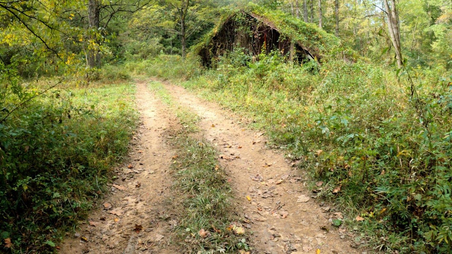
Trail 7 is a nice and easy scenic trail that starts out at Trail 5A and crosses over Trail 3. It travels along a ridge line and goes out to an area called Picinic Point. Here you will find wonderful views and some cool photo shots of the overlook area and the Hollerwood sign hanging from the cliffs.
Photos of Trail 7


Difficulty
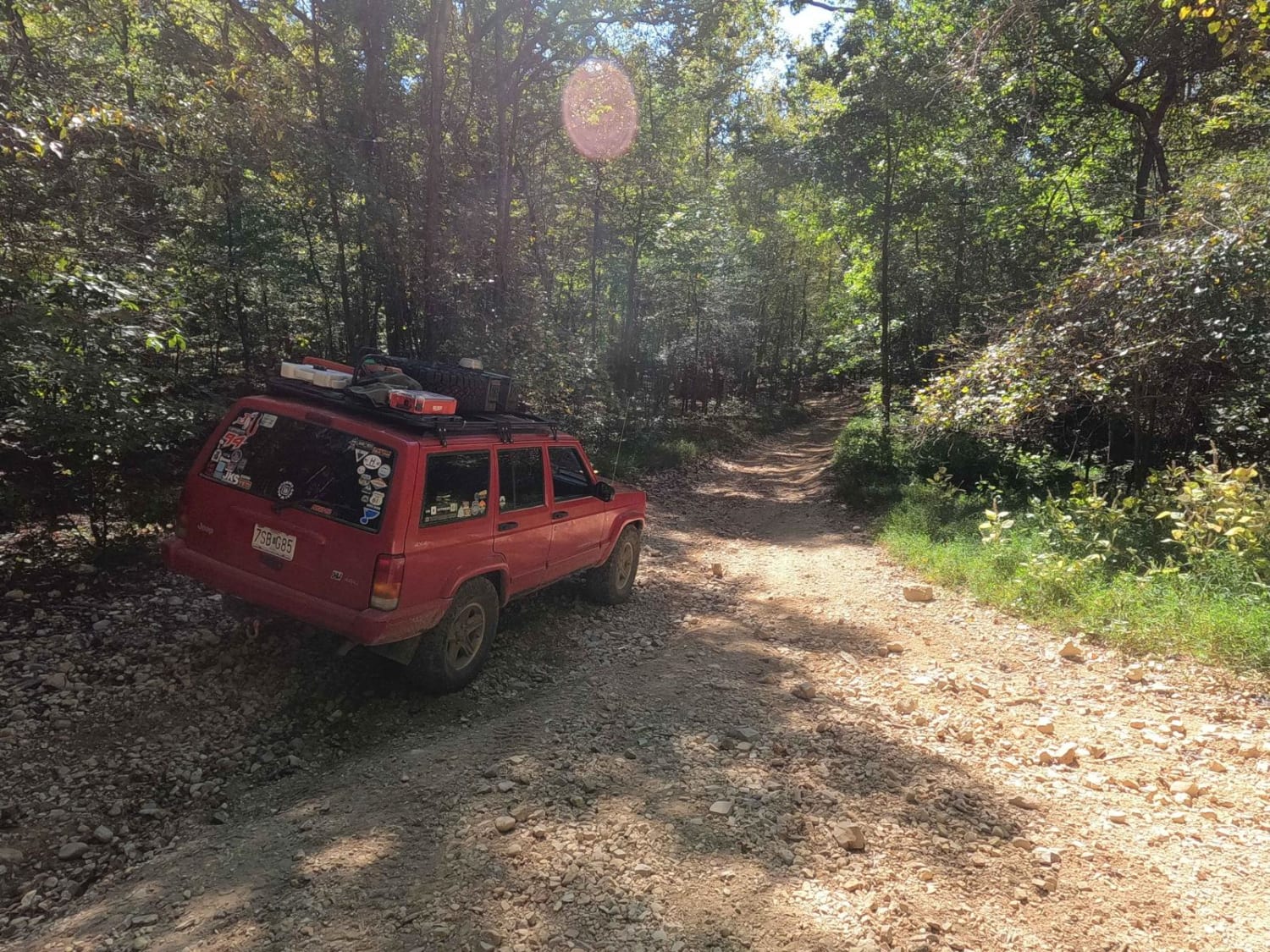
There are several washes and rutted ditch areas. Ledges and obstacles up to 12 inches. Most of the trail is wide enough for two vehicles, but it can be tight in some areas.
Status Reports
Trail 7 can be accessed by the following ride types:
- High-Clearance 4x4
- SxS (60")
- ATV (50")
- Dirt Bike
Trail 7 Map
Popular Trails
Cowen Creek

Sand Lick Road
3 to A Road

Trail 22 (Lovers Lane)
The onX Offroad Difference
onX Offroad combines trail photos, descriptions, difficulty ratings, width restrictions, seasonality, and more in a user-friendly interface. Available on all devices, with offline access and full compatibility with CarPlay and Android Auto. Discover what you’re missing today!