Trail 2
Total Miles
0.4
Technical Rating
Best Time
Spring, Summer, Fall, Winter
Trail Type
Full-Width Road
Accessible By
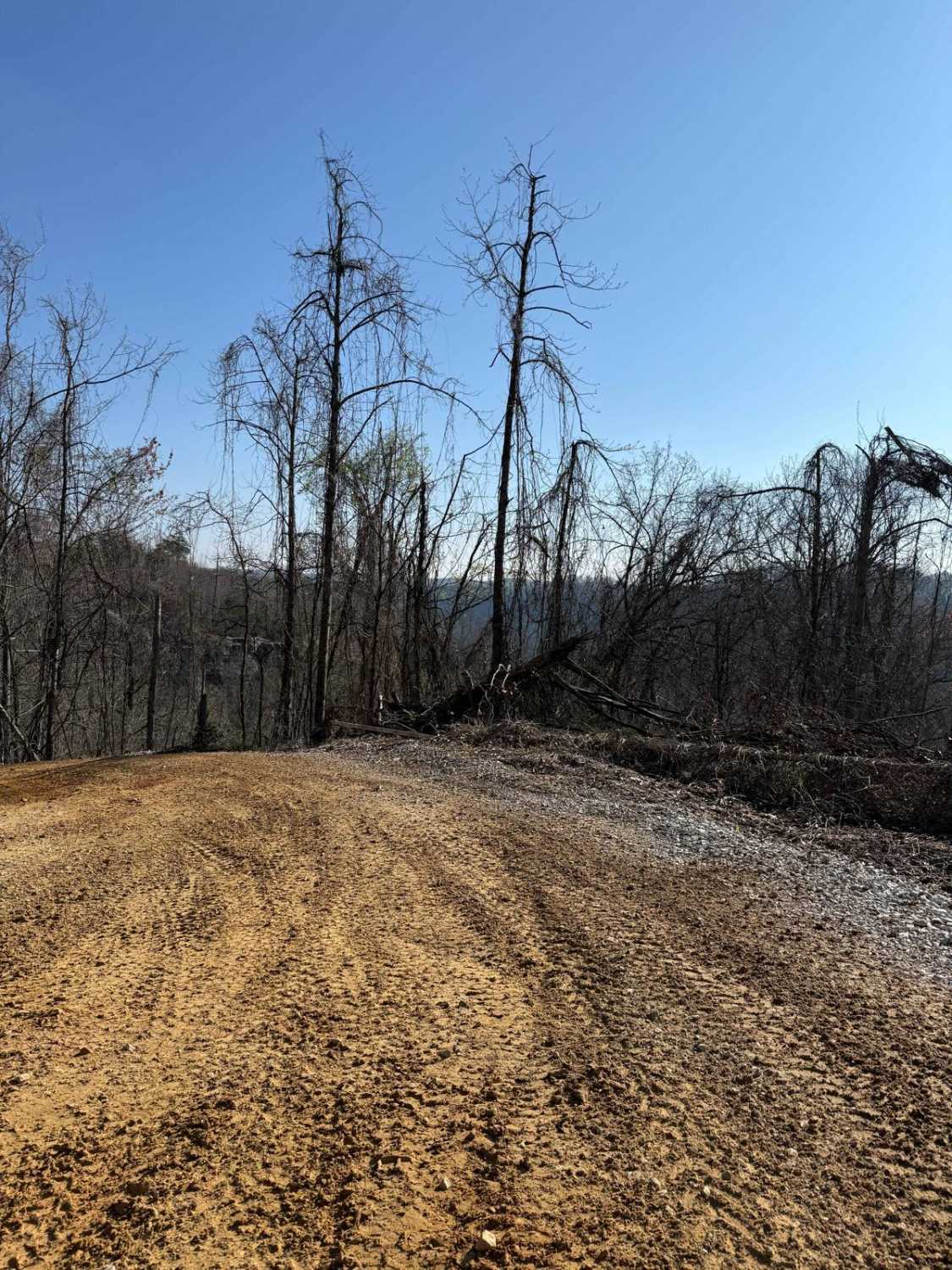
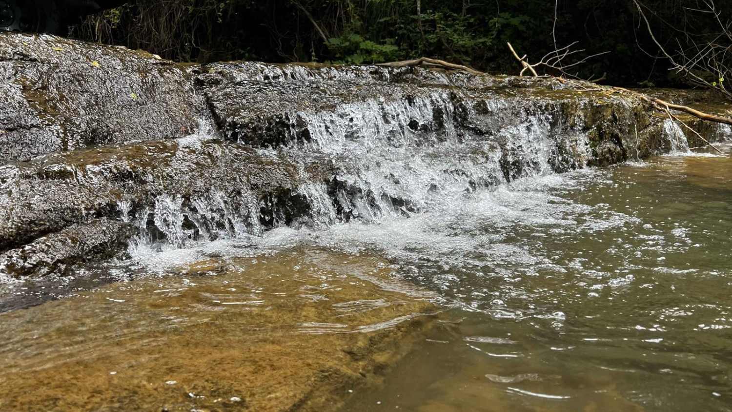
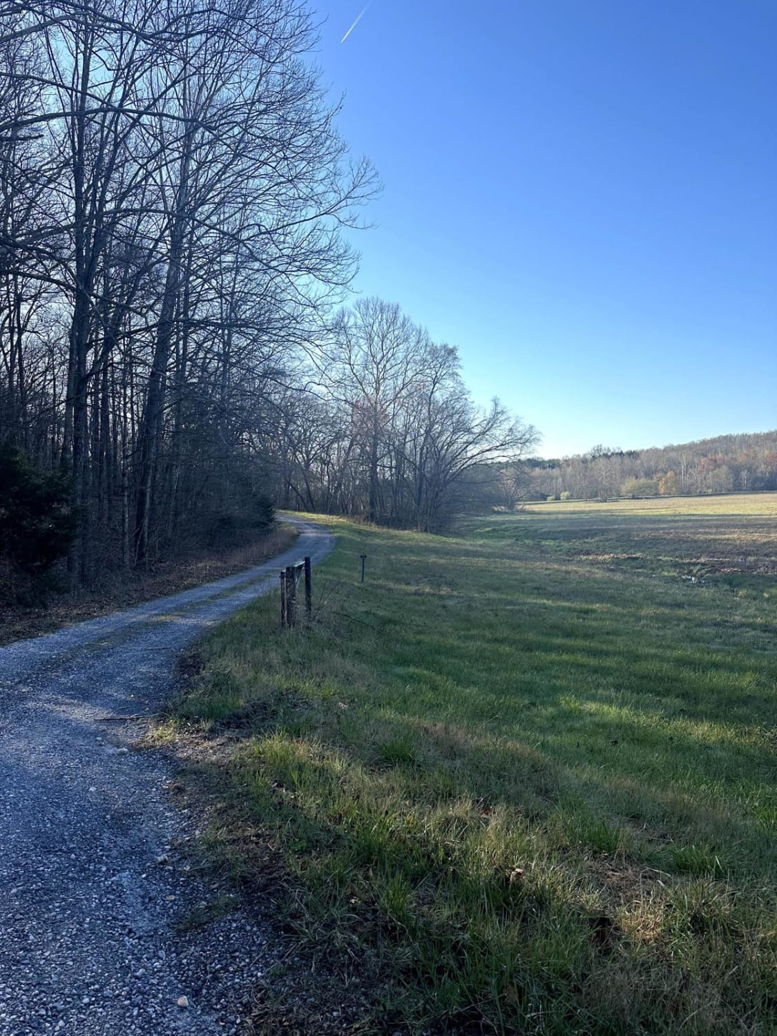
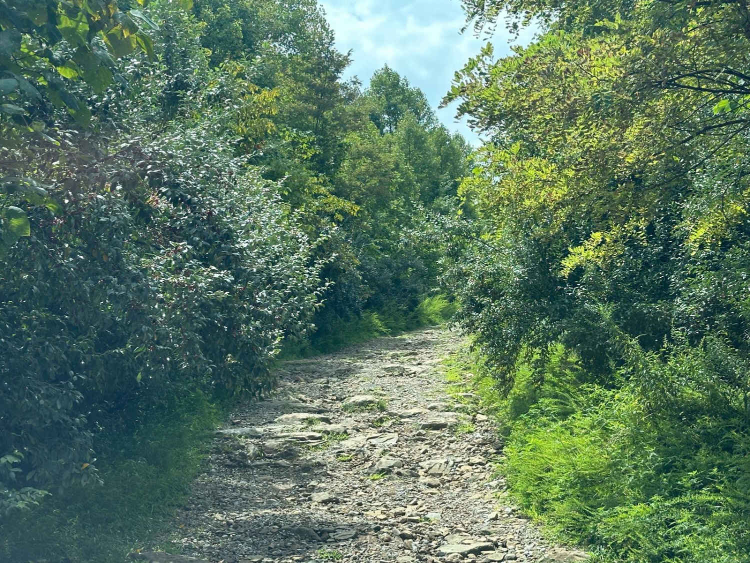
Trail Overview
This trail runs from Barker Branch Road to Trail 1 in the park. This trail circles around the view of the lake and the dam area. The trail travels downward away from a paved road called Barkers Branch Road and goes to the trail split of Trail 1, 4, and 46, all at the Sand Lick Fork.
Photos of Trail 2

Difficulty
The trail climbs out of the park onto a paved road. Several washout places with under 12" inches of small ledges and rocks on the surface.
Status Reports
Trail 2 can be accessed by the following ride types:
- High-Clearance 4x4
- SUV
- SxS (60")
- ATV (50")
- Dirt Bike
Trail 2 Map
Popular Trails
Clear Creek

Sand Lick Road
Long Creek Road
The onX Offroad Difference
onX Offroad combines trail photos, descriptions, difficulty ratings, width restrictions, seasonality, and more in a user-friendly interface. Available on all devices, with offline access and full compatibility with CarPlay and Android Auto. Discover what you’re missing today!