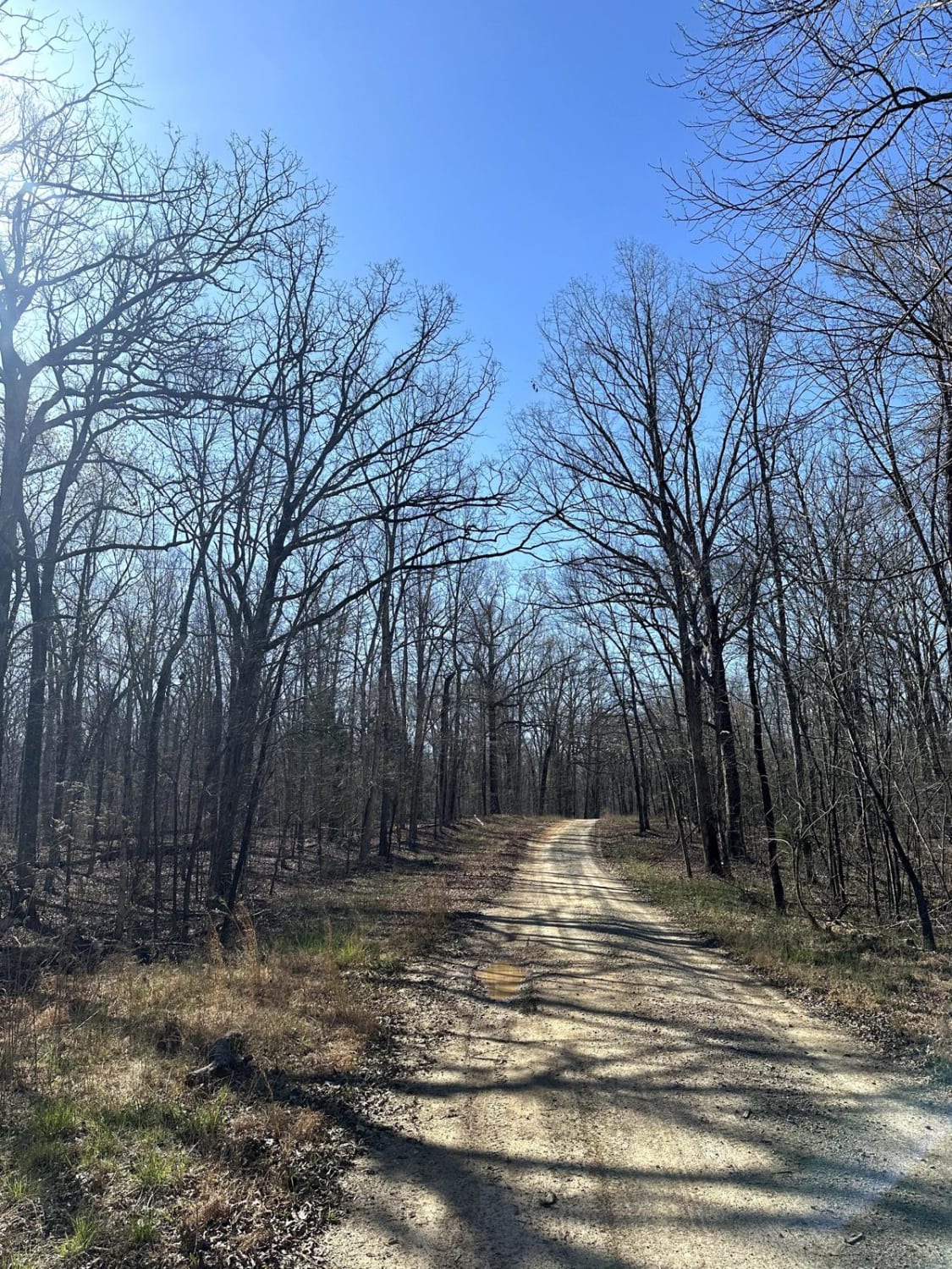
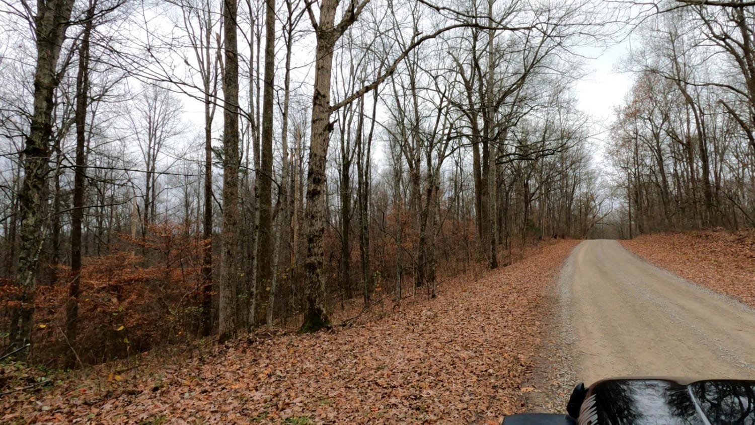
Pinnegar Road
Total Miles
1.2
Technical Rating
Best Time
Spring, Summer, Fall
Trail Type
Full-Width Road
Accessible By
Trail Overview
Pinnegar Road is a gravel road that connects a few other local trails. The road is a relatively maintained gravel road with the occasional muddy pothole. It can be accessed from either Ginger Ridge or 'Geezers Trail Part 1' depending on which direction you begin. During hunting seasons, it may be best to access it from Ginger Ridge.
Photos of Pinnegar Road

Difficulty
This is a maintained gravel road that has a few muddy potholes.
Status Reports
Pinnegar Road can be accessed by the following ride types:
- High-Clearance 4x4
- SUV
- SxS (60")
Pinnegar Road Map
Popular Trails

Henry Mtn Rd
The onX Offroad Difference
onX Offroad combines trail photos, descriptions, difficulty ratings, width restrictions, seasonality, and more in a user-friendly interface. Available on all devices, with offline access and full compatibility with CarPlay and Android Auto. Discover what you’re missing today!