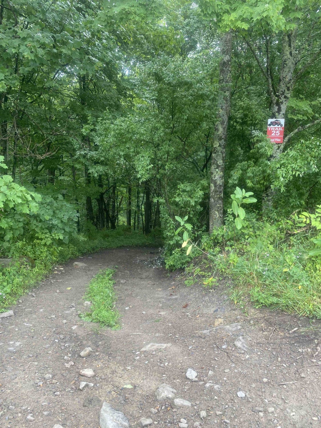
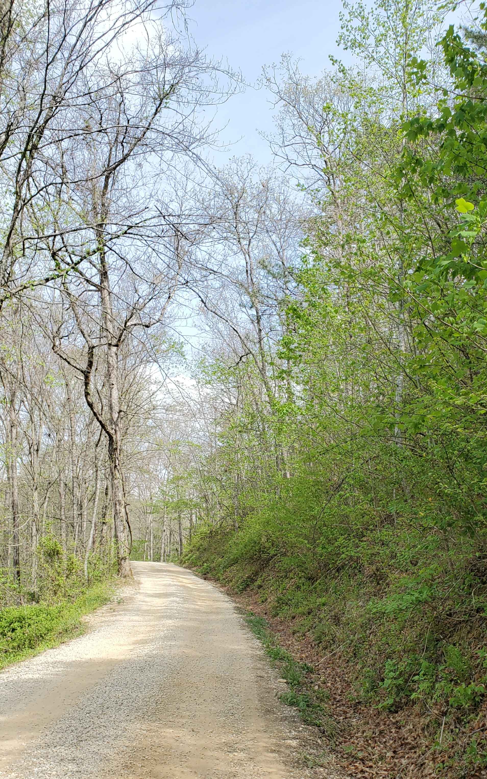
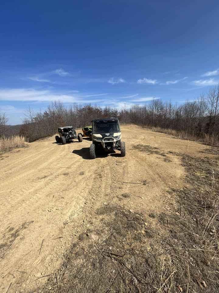
Trail 25
Total Miles
1.5
Technical Rating
Best Time
Spring
Trail Type
Full-Width Road
Accessible By
Trail Overview
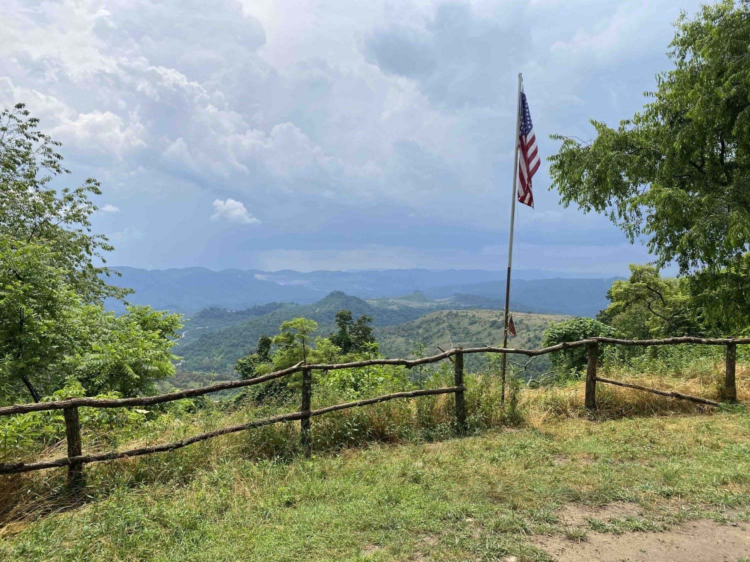
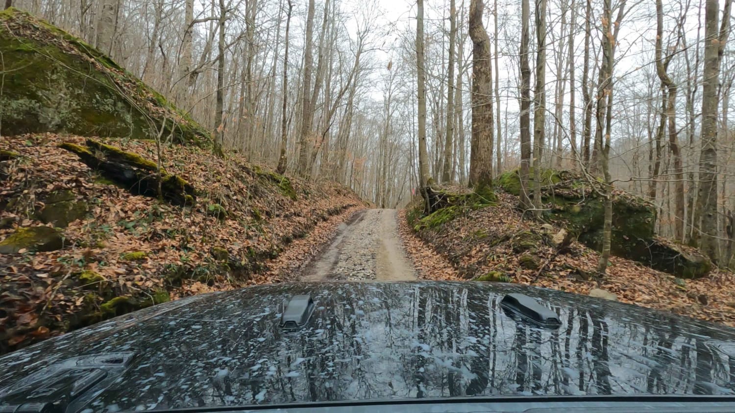
This is a connector trail from Main 23 to Laura's Lookout and beyond. It has a hard base with numerous shallow water holes. It's wide enough for most vehicles, including some full-size vehicles. This short route leads to one of the most scenic overlooks on a Kentucky OHV trail and there's a picnic table there for a scenic lunch break.
Photos of Trail 25
Difficulty
This trail has a hard base with a lot of shallow but unavoidable mudholes. It's wide enough for almost any size rig and is a ridgeline trail without much elevation gain or loss.
Status Reports
Trail 25 can be accessed by the following ride types:
- High-Clearance 4x4
- SUV
- SxS (60")
- ATV (50")
- Dirt Bike
Trail 25 Map
Popular Trails
Beech Timber

Pumpkin Hollow Rd
The onX Offroad Difference
onX Offroad combines trail photos, descriptions, difficulty ratings, width restrictions, seasonality, and more in a user-friendly interface. Available on all devices, with offline access and full compatibility with CarPlay and Android Auto. Discover what you’re missing today!