Duncan Bay Road - FS 132
Total Miles
1.3
Technical Rating
Best Time
Spring, Summer, Fall, Winter
Trail Type
Full-Width Road
Accessible By
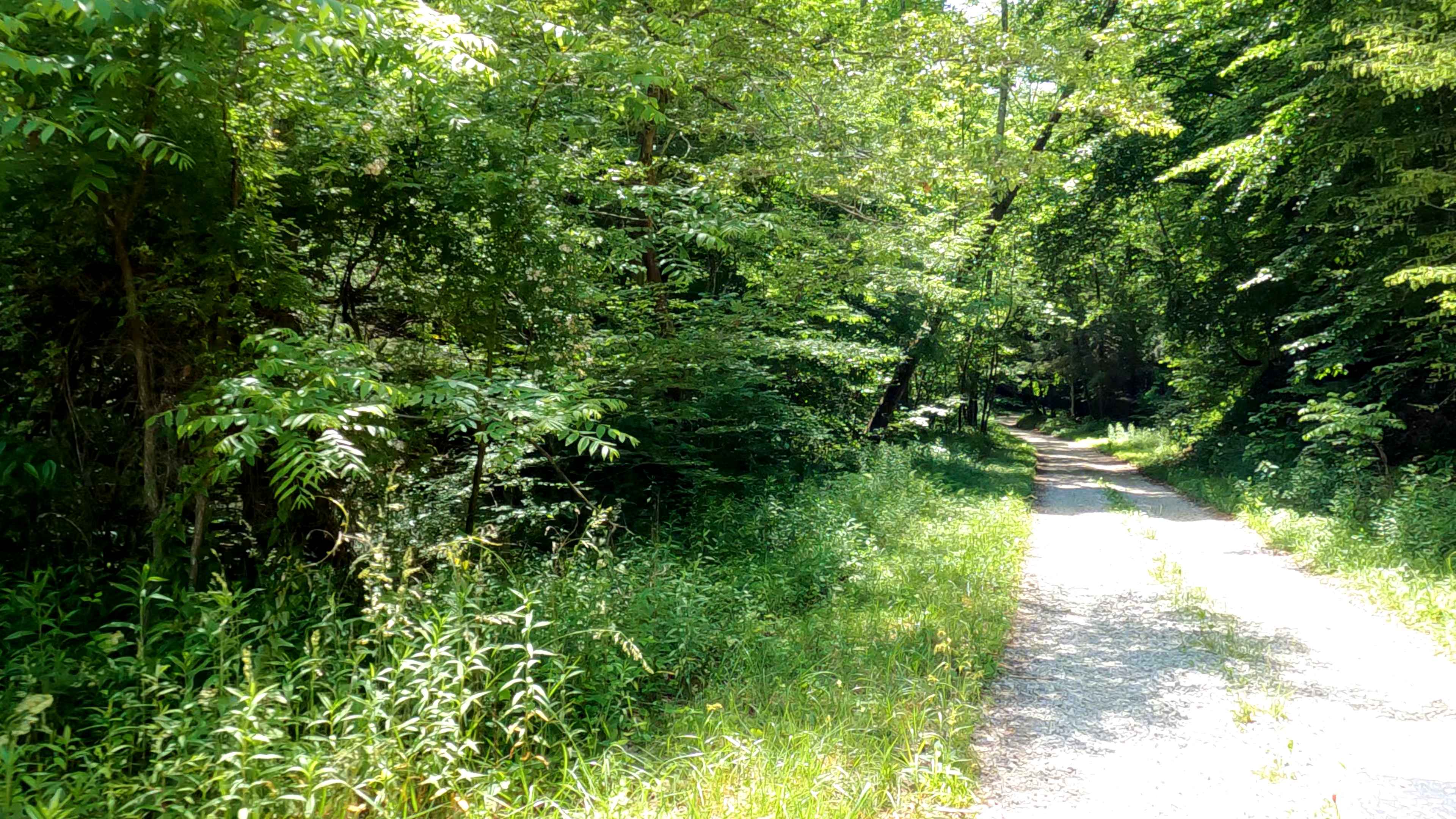
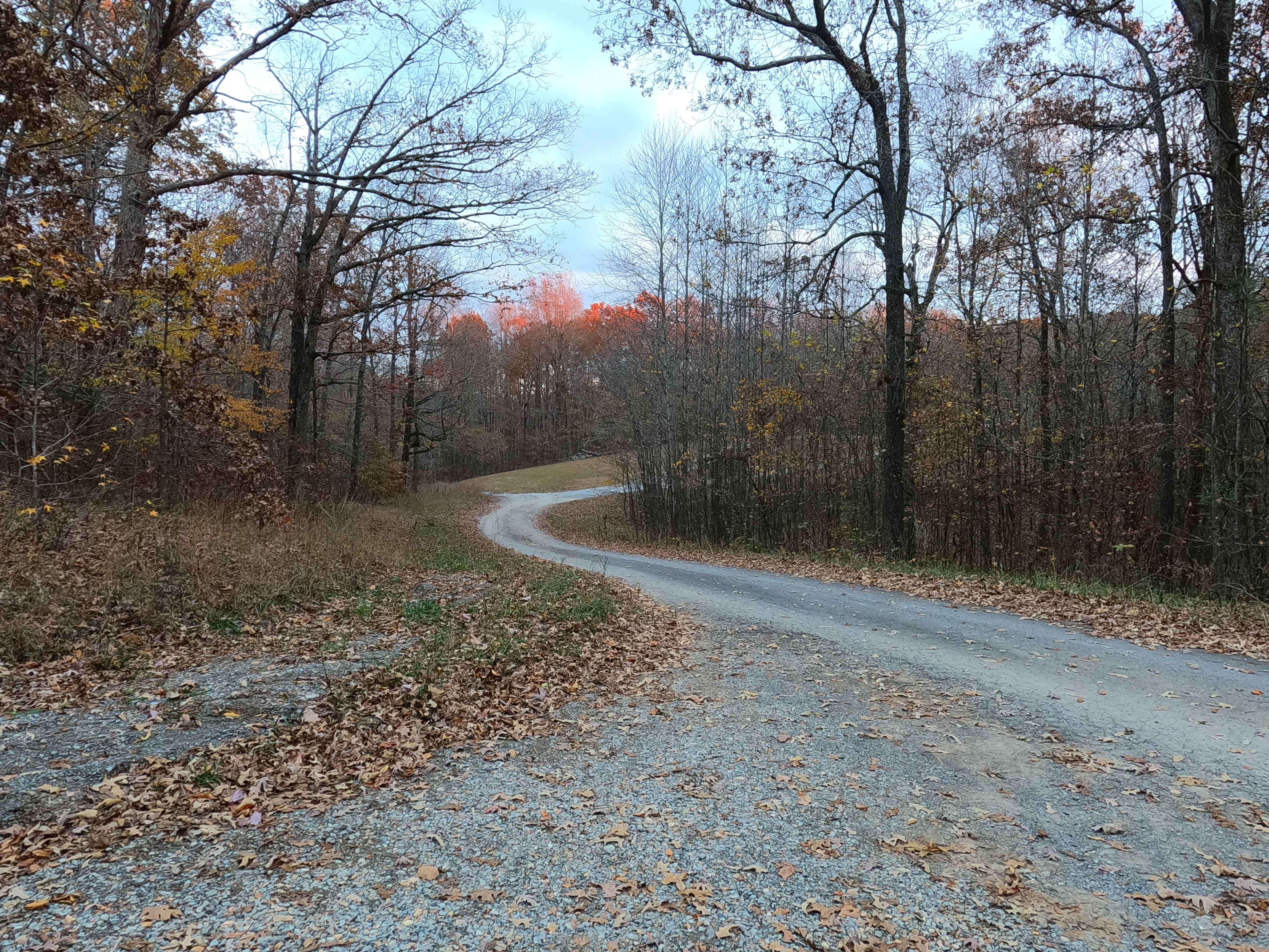
Trail Overview
Duncan Bay Road - FS 132 is a gravel forest service road through the center-west Kentucky section, Kentucky Lake side, of the Land Between the Lakes National Recreation Area. The Duncan Road is a pure logistical road, traversing one valley with small hills on both sides, the gravel is well maintained, and due to its short track is probably often overlooked, but vital to a good time at LBL. The main purpose of the FS 132 is access to other trails, first is its spur road the FS 132A, which leads to the obscure and much smaller Duncan Lake, this lake is a wildlife refuge area known for having waterfowl and bald eagles, note this spur is gated from Nov 1st to March 15th yearly to motorized access but doesn't require too much of a hike on foot to enjoy still. At the western end of Duncan Bay Road is the Fulk Cemetery FS 309, which if taking a right, immediately leads to the Kelsie Road FS 308, or the FS 308A which provides secondary access to Duncan Lake from the west. To the left FS 309 provides access to the North/South Hiking Trail and 3 cemeteries.
Photos of Duncan Bay Road - FS 132


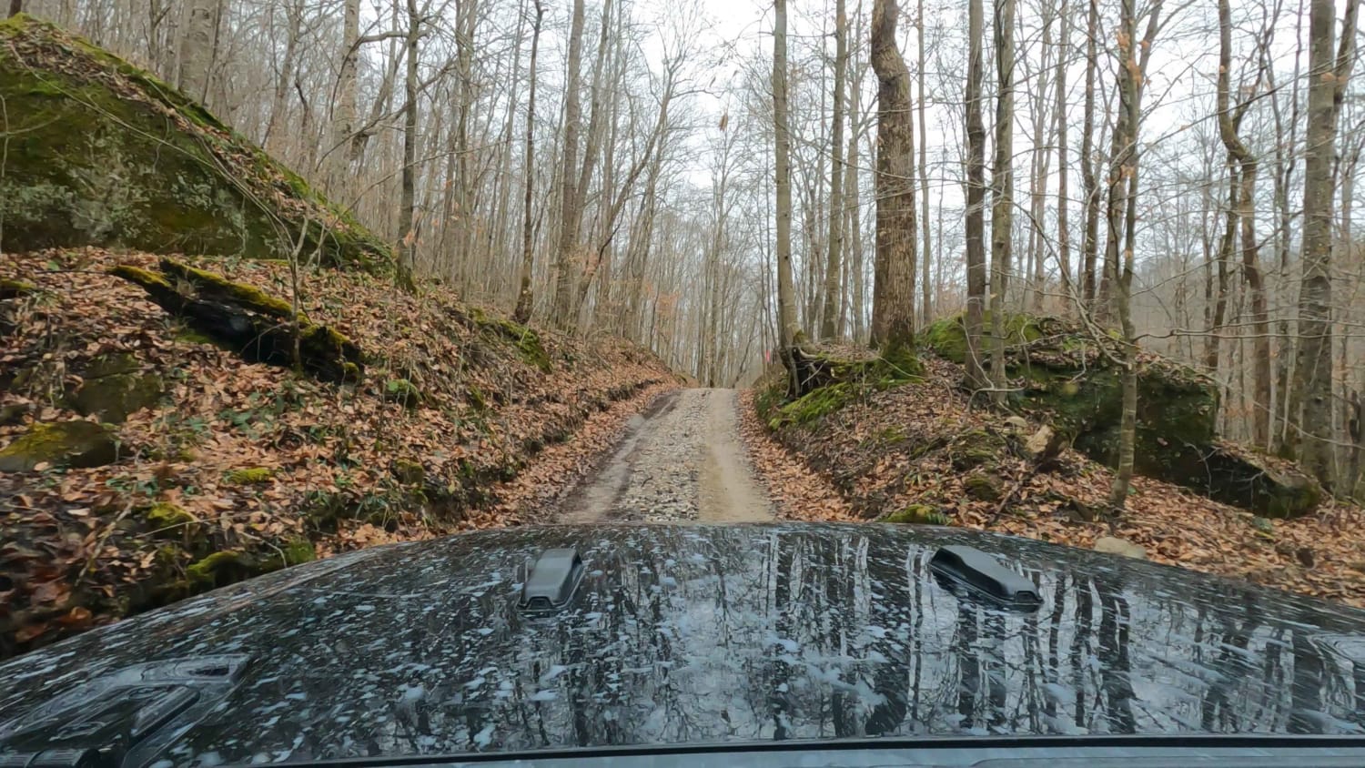
Difficulty
Duncan Bay Road is a simple gravel road. Generally well maintained, it is given a base rating of 1/10, consisting of mild grades up and down the rolling hills of the Duncan Creek valley it crosses. Expect washboards, potholes, mounding of the gravel, spots where the gravel fades to dirt, mild signs of erosion on the hills, and very small water collection splashes in the valley. One conditional game changer is the Duncan Creek flood plain, though rare, if this were to flood the road would experience significant to extreme difficulty increases.
Status Reports
Duncan Bay Road - FS 132 can be accessed by the following ride types:
- High-Clearance 4x4
- SUV
Duncan Bay Road - FS 132 Map
Popular Trails
Wayne Benson Road
Pumpkin Hollow Rd

FS 142 - Higgins Bay Road
Bethlehem Cemetery - FS 122
The onX Offroad Difference
onX Offroad combines trail photos, descriptions, difficulty ratings, width restrictions, seasonality, and more in a user-friendly interface. Available on all devices, with offline access and full compatibility with CarPlay and Android Auto. Discover what you’re missing today!