Daughtry to Sheltowee Trace
Total Miles
7.1
Technical Rating
Best Time
Spring, Summer, Fall, Winter
Trail Type
Full-Width Road
Accessible By
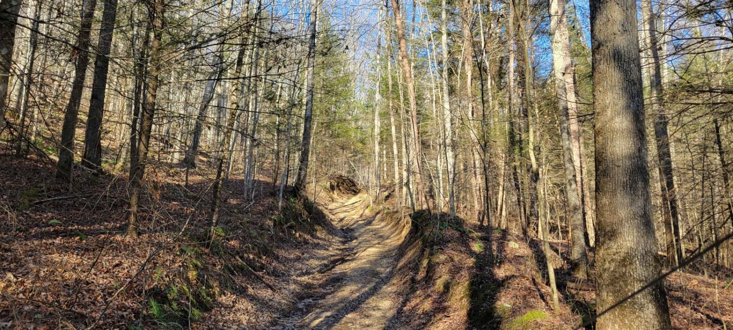
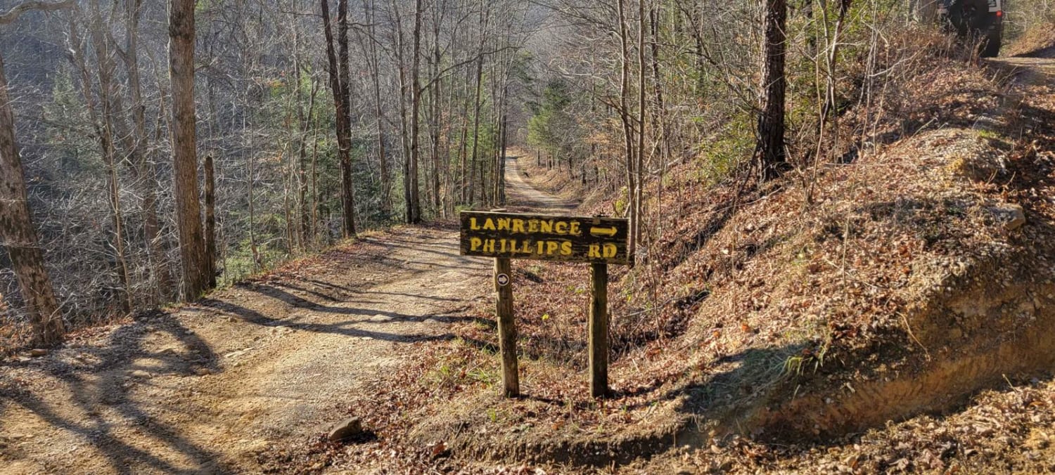
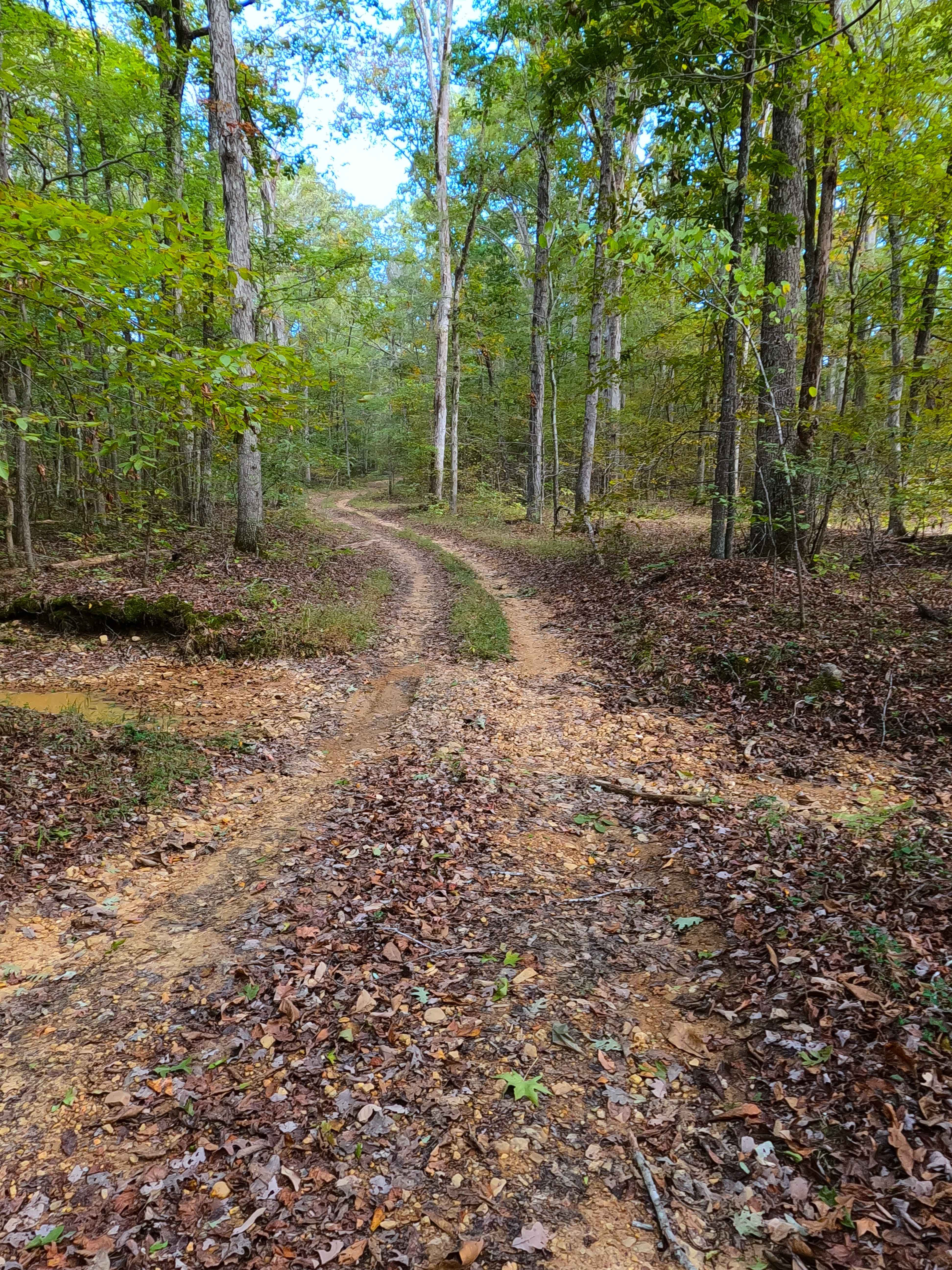
Trail Overview
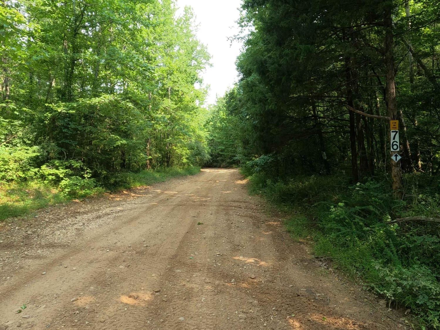
Daughtry ln starts out as a nice gravel road for about 2 miles. There's a couple creek crossings which one can get deep and fast moving. Once you've crossed the creek you'll go through a field and meet up with Sheltowee Trace Trail for licensed vehicles and anything in-between. This part has some mud holes and some rocky sections. Once you've gone about 3 miles on the trail you'll come to another gravel road, which will take you the Beattyville to Livingston Trail.
Photos of Daughtry to Sheltowee Trace
Difficulty
Wouldn't suggest going after a heavy rain.
Status Reports
Daughtry to Sheltowee Trace can be accessed by the following ride types:
- High-Clearance 4x4
- SUV
- SxS (60")
- ATV (50")
- Dirt Bike
Daughtry to Sheltowee Trace Map
Popular Trails

Cinderella Mine Trail
Indian Creek Road
Ferguson Hollow - FS 324
8 to 6 Road
The onX Offroad Difference
onX Offroad combines trail photos, descriptions, difficulty ratings, width restrictions, seasonality, and more in a user-friendly interface. Available on all devices, with offline access and full compatibility with CarPlay and Android Auto. Discover what you’re missing today!