D to 5 Road
Total Miles
0.4
Technical Rating
Best Time
Summer, Spring, Fall, Winter
Trail Type
Full-Width Road
Accessible By
Trail Overview
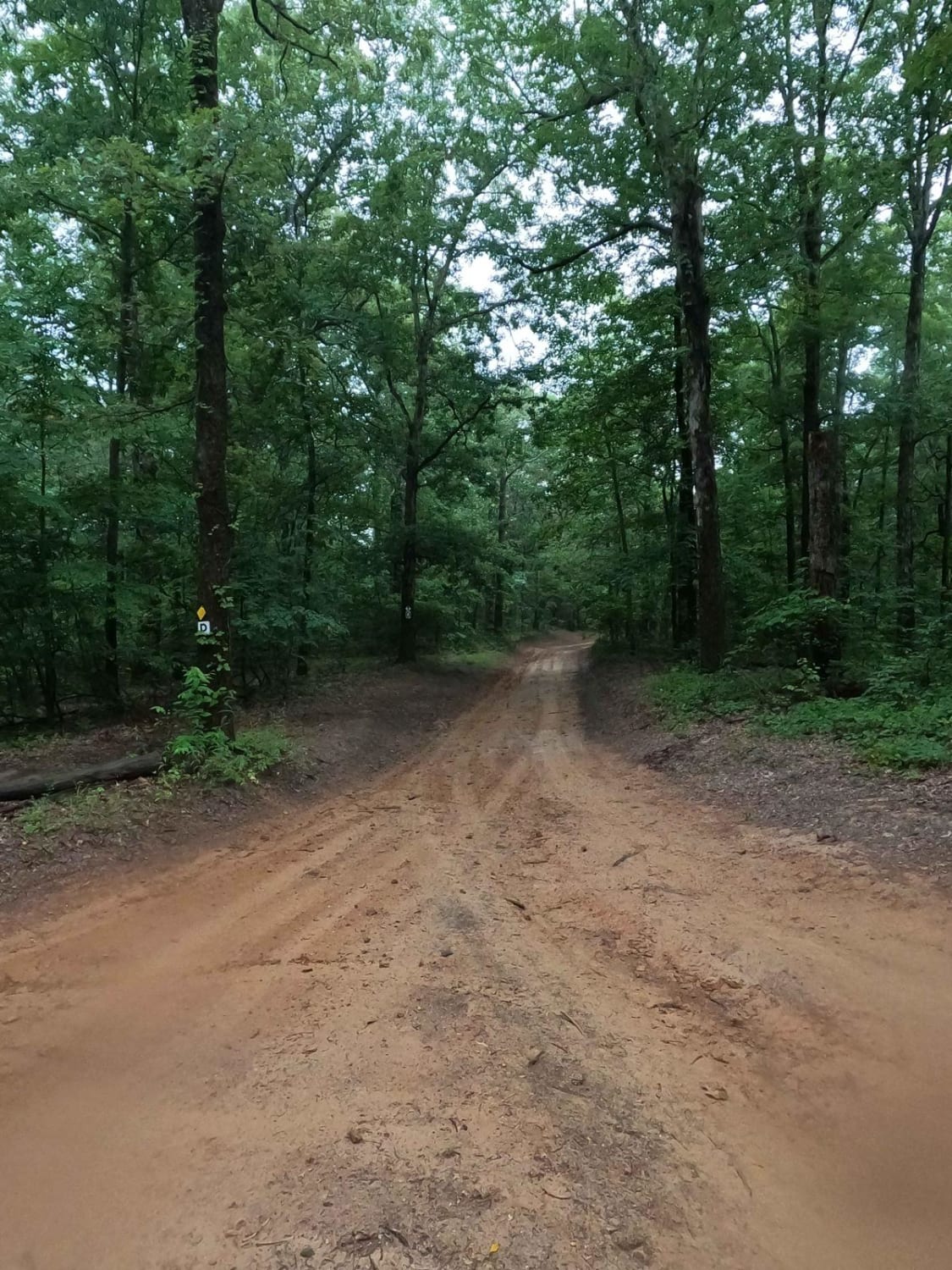
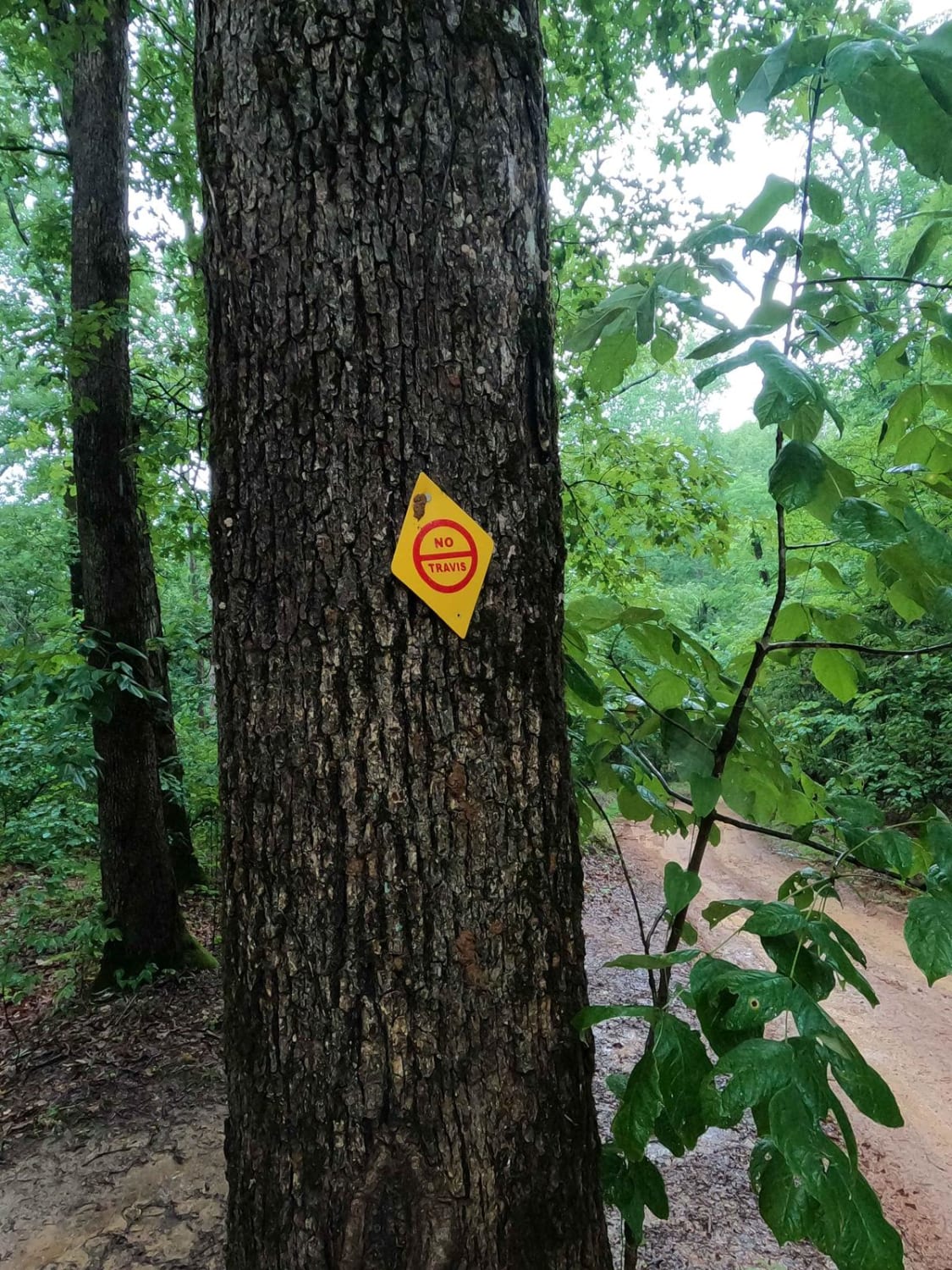
The Turkey Bay D to 5 Road is a generally maintained primary dirt road connecting point to point from the D intersection to 5 intersection inside the Turkey Bay OHV area, within the Land Between the Lakes National Recreation Area, this road is part of the official Forest route M02. This road leads to the Central Northeast corner of the park, traversing a couple of small hills with a general dirt foundation, muddy when wet, all while dodging trees and the edge of the road, mud holes may be encountered along the road, but generally should be bypass-able or taken care of in maintenance cycles. This is a great foundational road to use to get around the park quickly. It is also a great road to aim for when using secondary routes as your end goal or starting point. The quickest route out of the park from here is 5 to D, D to E, E to the 8, and south to 9 intersection, which is at the Turkey Bay Gate FSR 167.
Photos of D to 5 Road
Difficulty
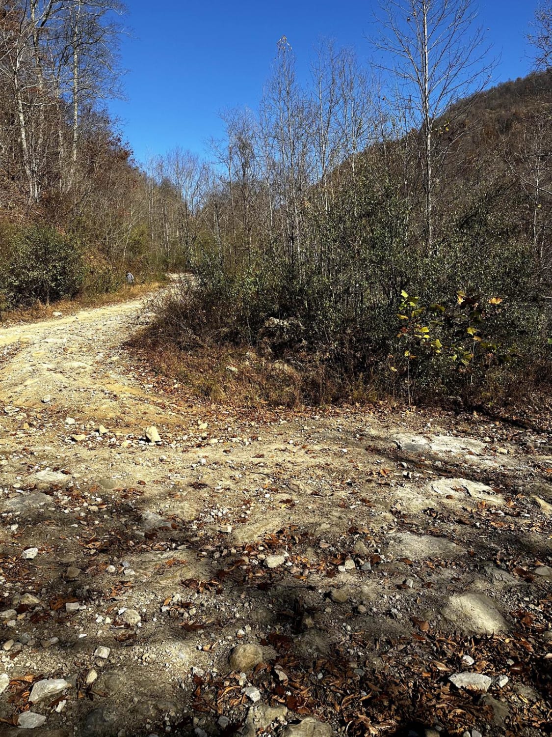
The difficulty of the D to 5 Road is the hills covered with low traction slick dirt and mud, side to side, the road also turns to mostly being dirt over gravel of it's precursors, with very little rock throughout. The road also may have mud holes up to 12" along the side and amongst the tight tree sections along side the road. All this said given a 3/10. Could be elevated in difficulty through heavy rain and wet conditions, could also be lessened to a 2/10 with a perfect condition dry season, and in terms of maintenance.
Status Reports
D to 5 Road can be accessed by the following ride types:
- High-Clearance 4x4
- SUV
- SxS (60")
- ATV (50")
- Dirt Bike
D to 5 Road Map
Popular Trails
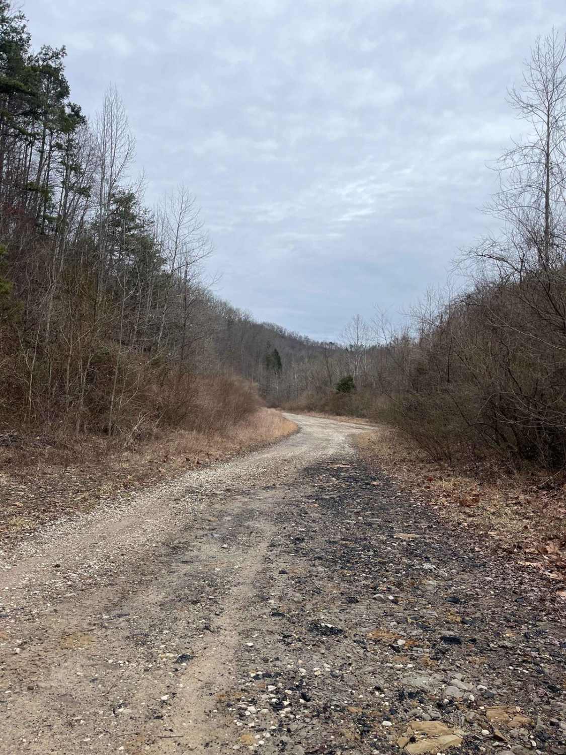
Trail 14 Cow Fork
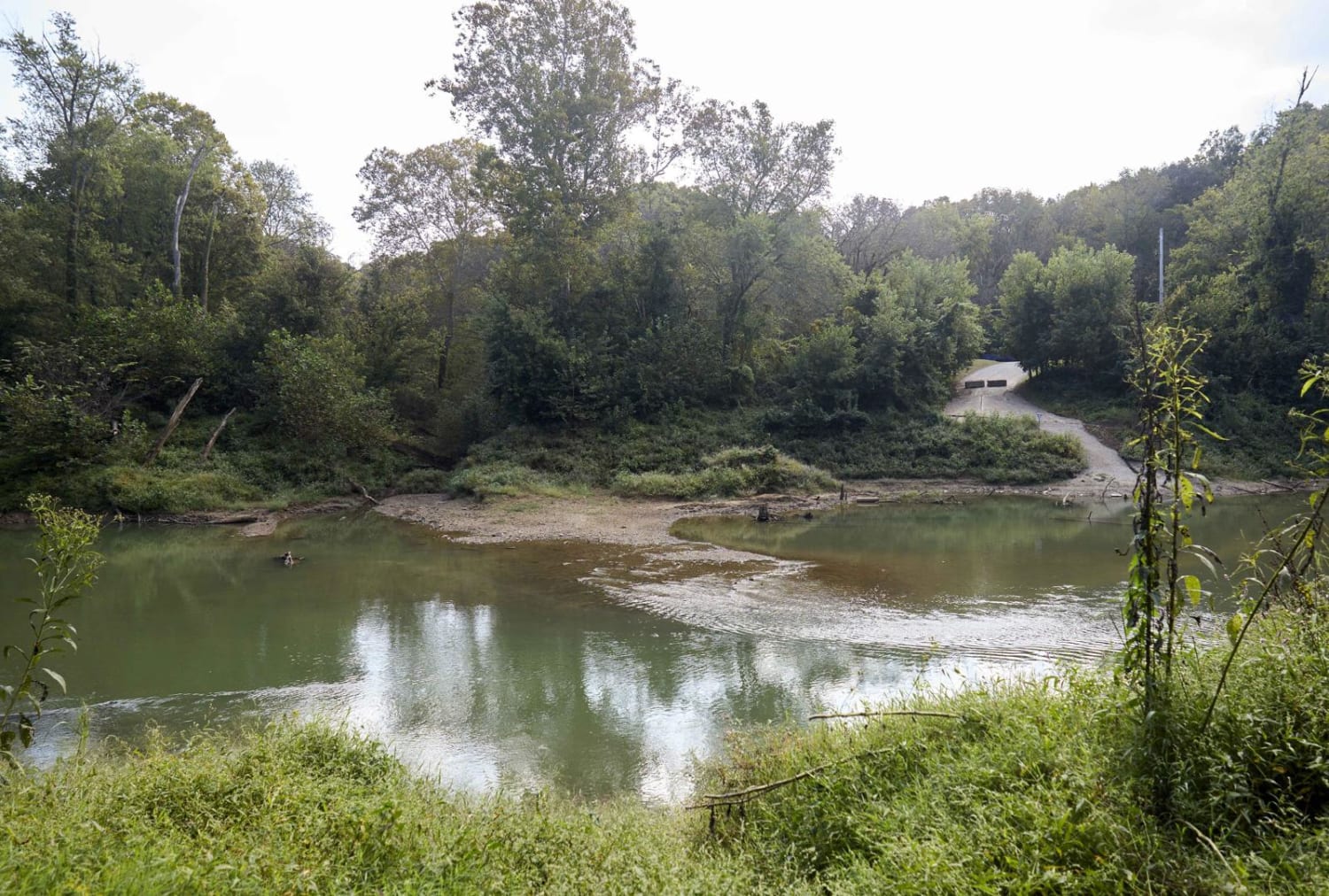
Houchin Ferry - Mammoth Cave NP
The onX Offroad Difference
onX Offroad combines trail photos, descriptions, difficulty ratings, width restrictions, seasonality, and more in a user-friendly interface. Available on all devices, with offline access and full compatibility with CarPlay and Android Auto. Discover what you’re missing today!
