Cromer Ridge - 909
Total Miles
3.3
Technical Rating
Best Time
Spring, Summer, Fall, Winter
Trail Type
Full-Width Road
Accessible By
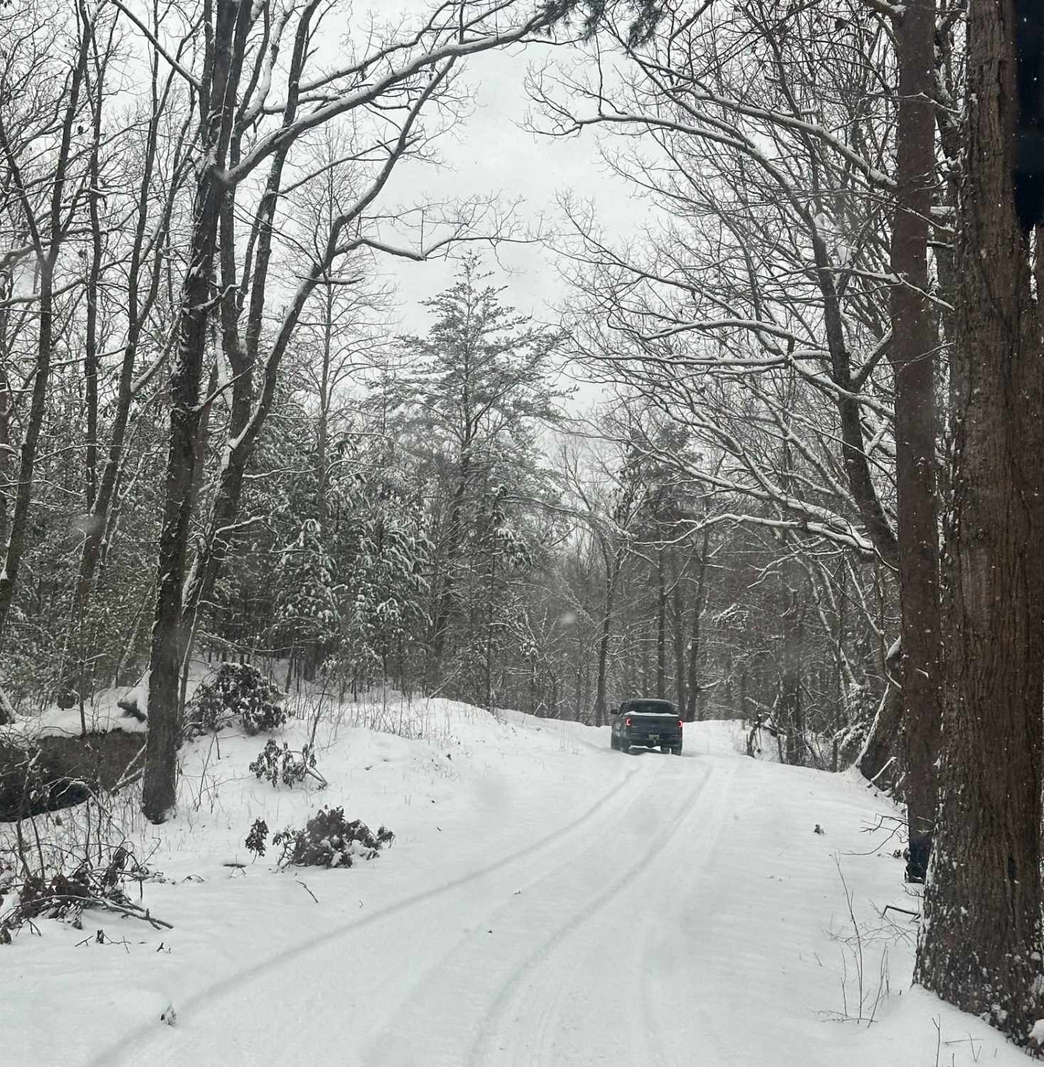
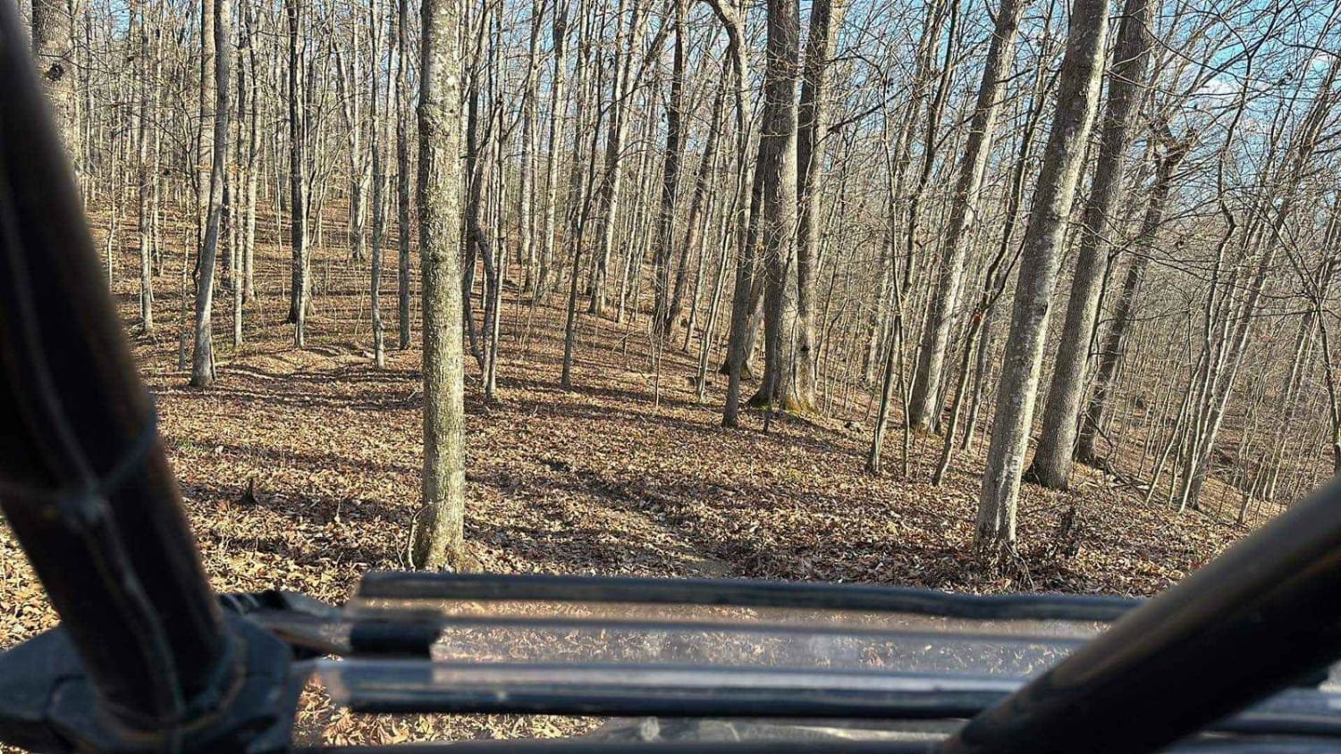
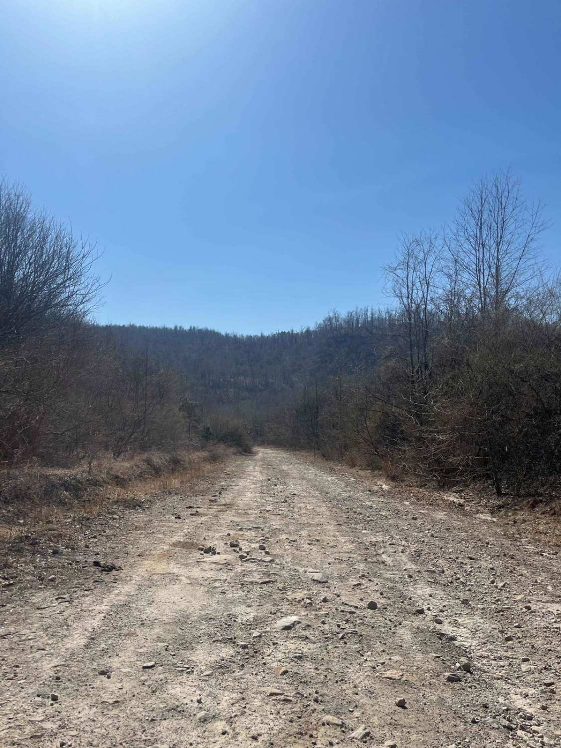
Trail Overview
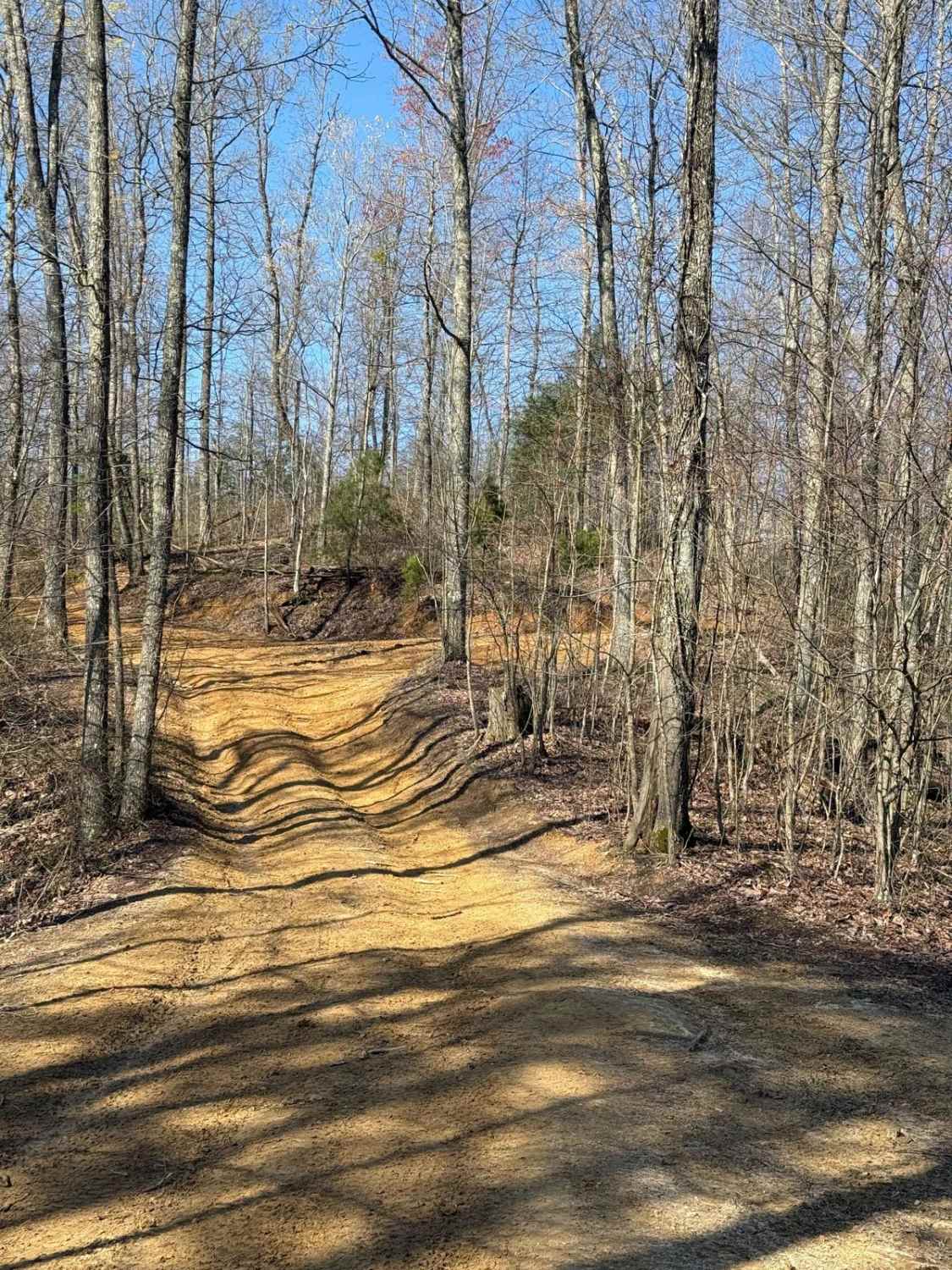
Cromer Ridge Road or Rockcastle River Forestry Road is a gravel, rock, and dirt trail road that is somewhat maintained by the forest service. This road runs along some ridge lines with good views as well as goes down into some low hollers as well, ending at the Rockcastle River.
Photos of Cromer Ridge - 909

Difficulty
The trail consists of rock and dirt, with several washes creating ruts that may be up to 12" deep. There are several mud holes along the trail depending on the amount of rain during the season. There are also several places where the grade becomes steep. The road is wide enough for vehicles to find places to pass.
History
This is a part of the Sheltowee Trace that runs from northern Kentucky into Tennessee.
Status Reports
Cromer Ridge - 909 can be accessed by the following ride types:
- High-Clearance 4x4
- SUV
Cromer Ridge - 909 Map
Popular Trails
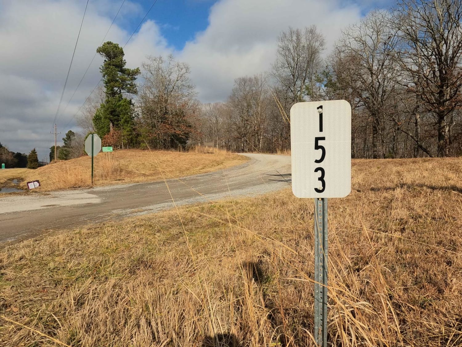
Jenny Ridge Road - FS 153
Trail 30 (Bear Branch)
The onX Offroad Difference
onX Offroad combines trail photos, descriptions, difficulty ratings, width restrictions, seasonality, and more in a user-friendly interface. Available on all devices, with offline access and full compatibility with CarPlay and Android Auto. Discover what you’re missing today!