105/106 Connector - FS 106A
Total Miles
0.3
Technical Rating
Best Time
Spring, Summer, Fall, Winter
Trail Type
Full-Width Road
Accessible By
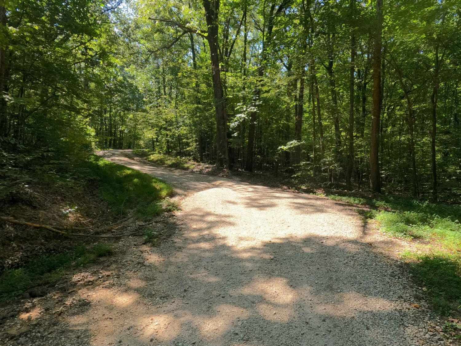
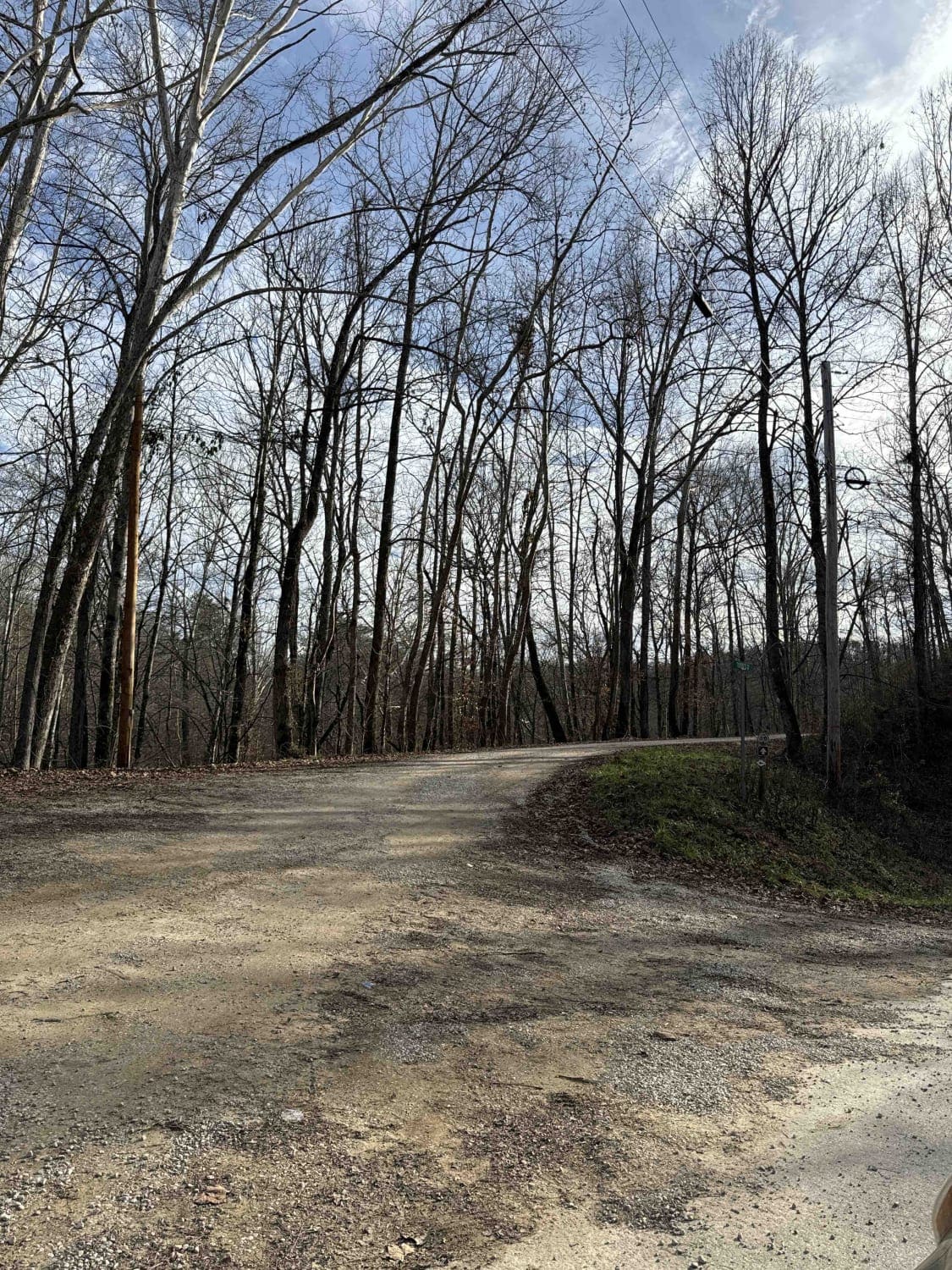
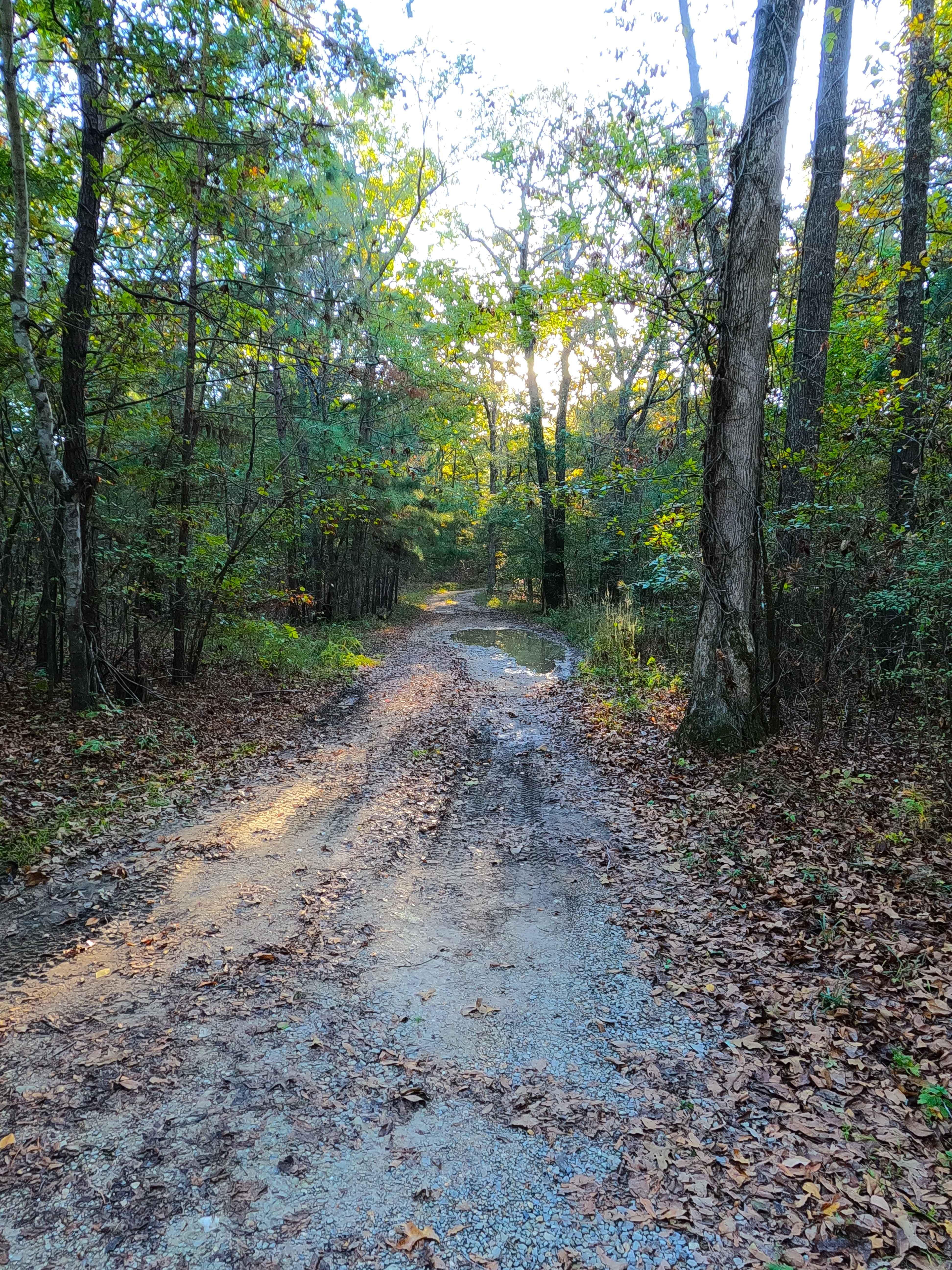
Trail Overview
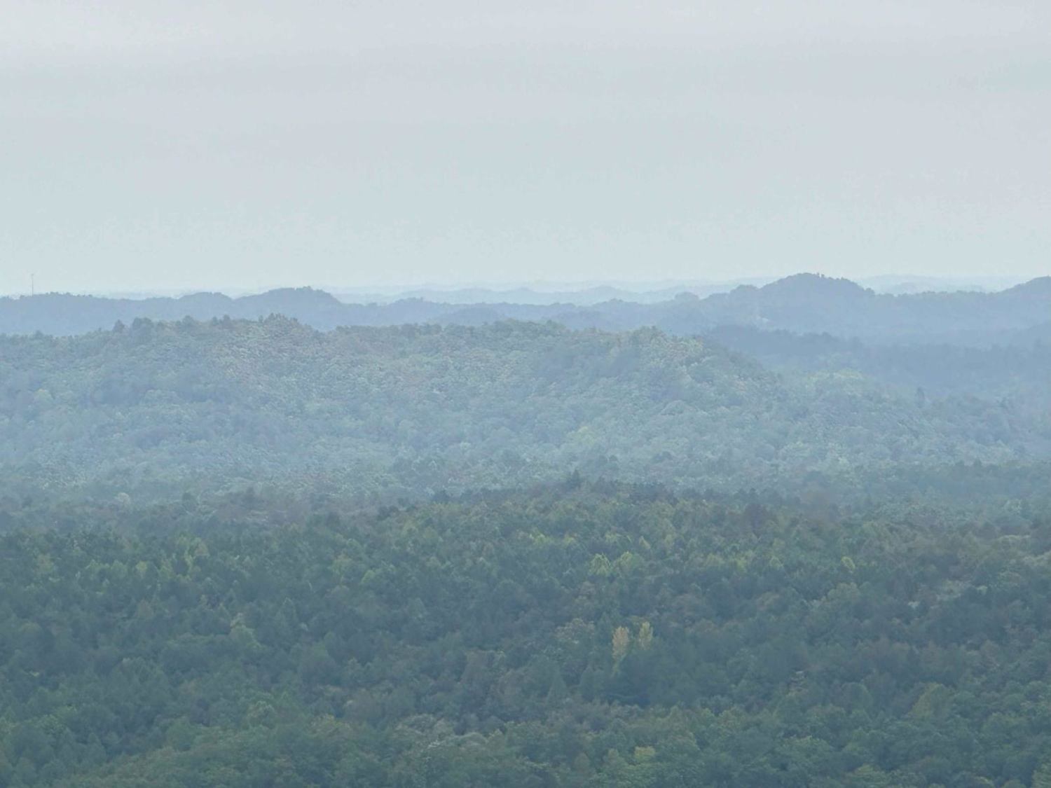
105/106 Connector - FS 106A is a gravel forest service road in the northwest corner of the Kentucky section, Kentucky Lake side, of the Land Between the Lakes National Recreation Area. This is one of the shortest examples of a Forest Road within LBL that connects two more prominent roads in the area, the Twin Lakes South FS 105 and Lyon County Park Road FS 106. Despite the short track, where the 106 and 106A meet there is an old homestead that brings some interest and purpose outside of logistics to the trail. The road is laid out on a hill on either end leading to a valley in the center, featuring a mostly gravel track with mild erosion and soft dirt spots where the gravel has faded.
Photos of 105/106 Connector - FS 106A

Difficulty
FS 106A is a simple gravel road. Generally well maintained, it is given a base rating of 1/10, consisting of mild grades up and down the rolling hills of the area. Expect washboards, potholes, mounding of the gravel, spots where the gravel fades to dirt in the valley, and mild signs of erosion on the hills.
History
Just up from the South Entry of the FS 106A off the FS 106, is an old homestead at 36.95865, -88.19259, which features a rock chimney, stairs, water well hole, remnants of an outhouse, foundations, and an access road, with an adjacent flat area on the access road, of which would make for an interesting place for a dispersed campsite.
Status Reports
105/106 Connector - FS 106A can be accessed by the following ride types:
- High-Clearance 4x4
- SUV
105/106 Connector - FS 106A Map
Popular Trails
Energy Ridge - FS 322
Fulton Furnace Road - FS 315
The onX Offroad Difference
onX Offroad combines trail photos, descriptions, difficulty ratings, width restrictions, seasonality, and more in a user-friendly interface. Available on all devices, with offline access and full compatibility with CarPlay and Android Auto. Discover what you’re missing today!