Smokestang Ridge
Total Miles
0.1
Technical Rating
Best Time
Spring, Summer, Fall
Trail Type
Full-Width Road
Accessible By
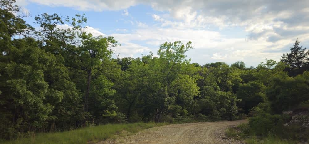
Trail Overview
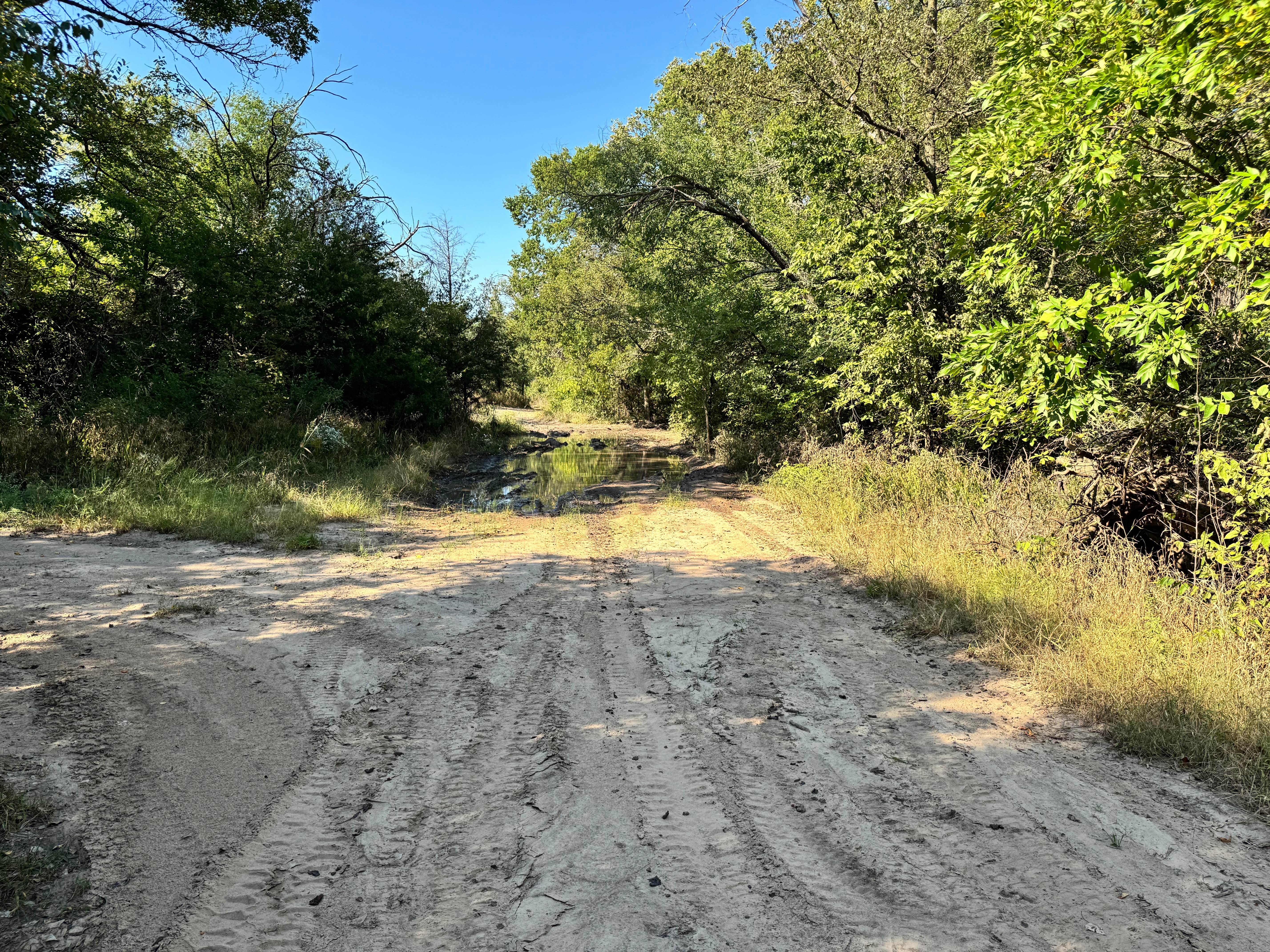
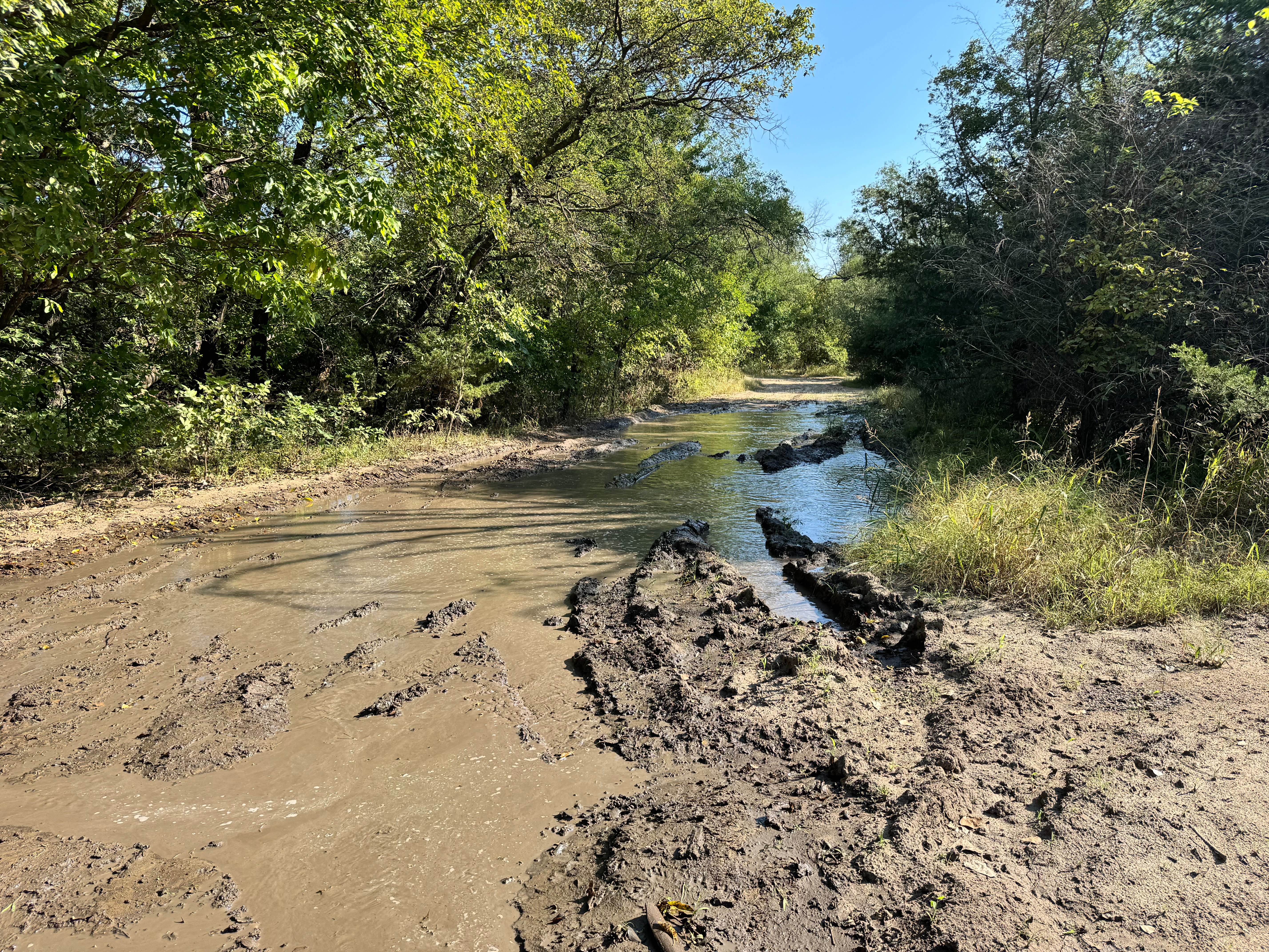
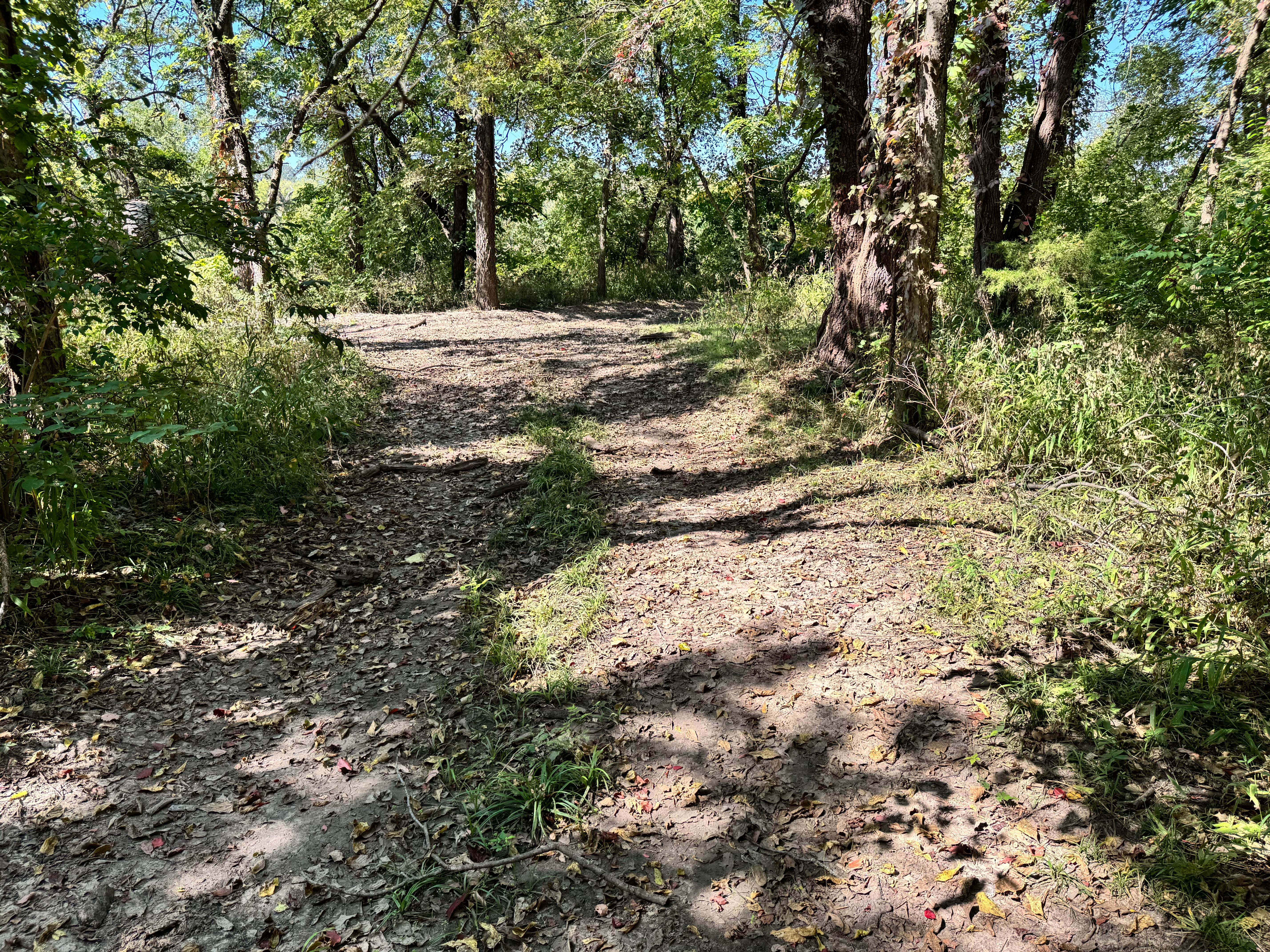
The majority of the route features firm ground and gentle terrain with no major obstacles. However, there is one notable section that requires extra attention, an extended stretch of thick mud roughly 30 feet long. Although it is not heavily rutted yet, repeated use and wet conditions will likely cause it to deteriorate over time, becoming more difficult to cross. For now, most capable high clearance 4WD vehicles should be able to navigate it with steady momentum, but drivers should still approach cautiously. Outside of this muddy segment, the trail remains mild and straightforward.
Photos of Smokestang Ridge
Difficulty
This trail is mostly easy, but the 30-foot stretch of thick mud adds a bit of challenge. While it's not deeply rutted yet, conditions will worsen with use. Most 4x4s can manage it, but caution and momentum are required.
History
This park was formerly known as Sandy Bottoms, and longtime visitors may still refer to it by that name. The access road and staging area have evolved over time, but it remains a well-known local spot for off-road events and community rides.
Status Reports
Smokestang Ridge can be accessed by the following ride types:
- High-Clearance 4x4
- SUV
- SxS (60")
Smokestang Ridge Map
Popular Trails
Willys Whoops

Ted's Hill
Clapboard Ravine
The onX Offroad Difference
onX Offroad combines trail photos, descriptions, difficulty ratings, width restrictions, seasonality, and more in a user-friendly interface. Available on all devices, with offline access and full compatibility with CarPlay and Android Auto. Discover what you’re missing today!