Sandy Bottom Boulevard
Total Miles
0.3
Technical Rating
Best Time
Spring, Summer, Fall
Trail Type
Full-Width Road
Accessible By
Trail Overview
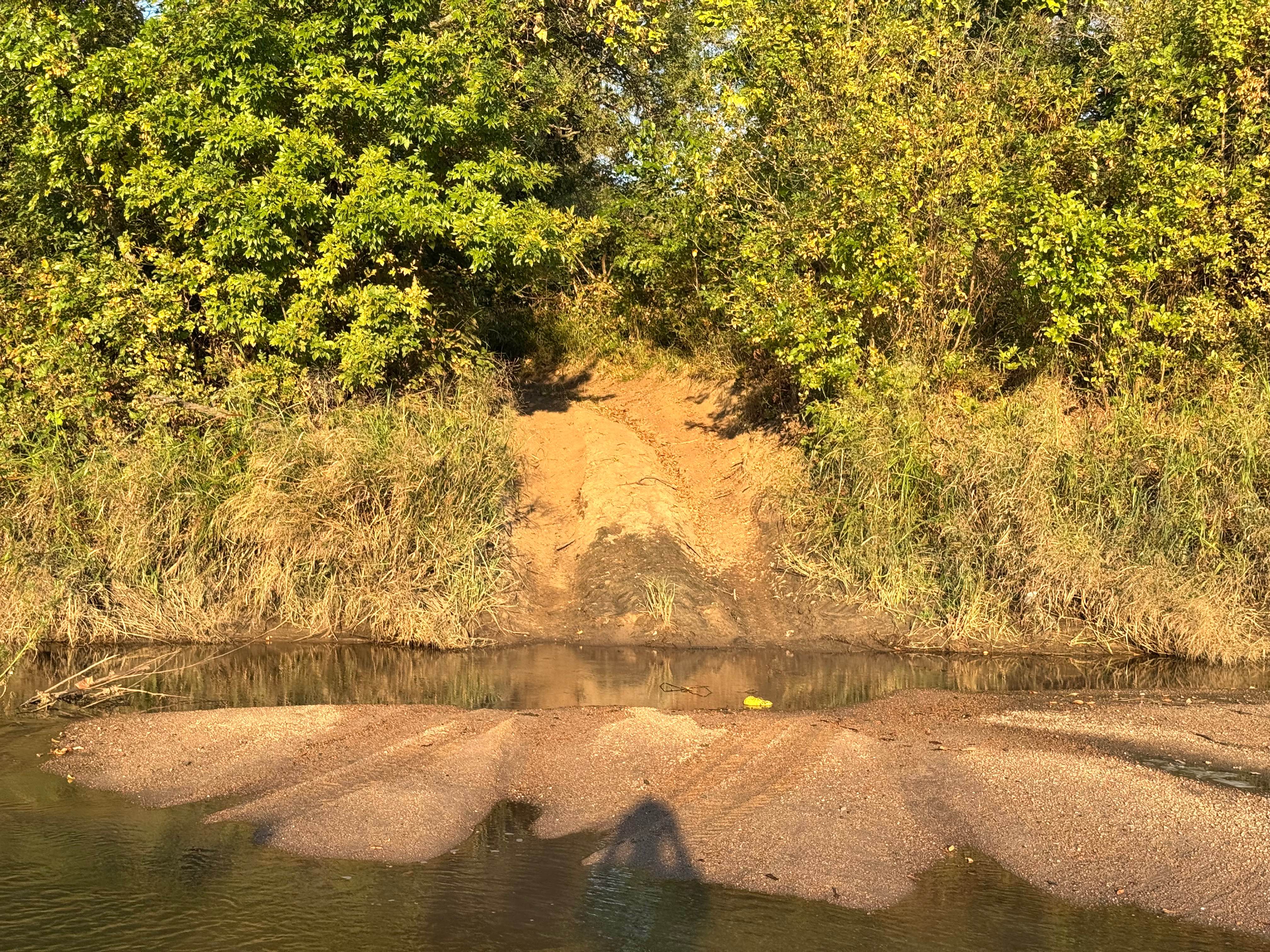
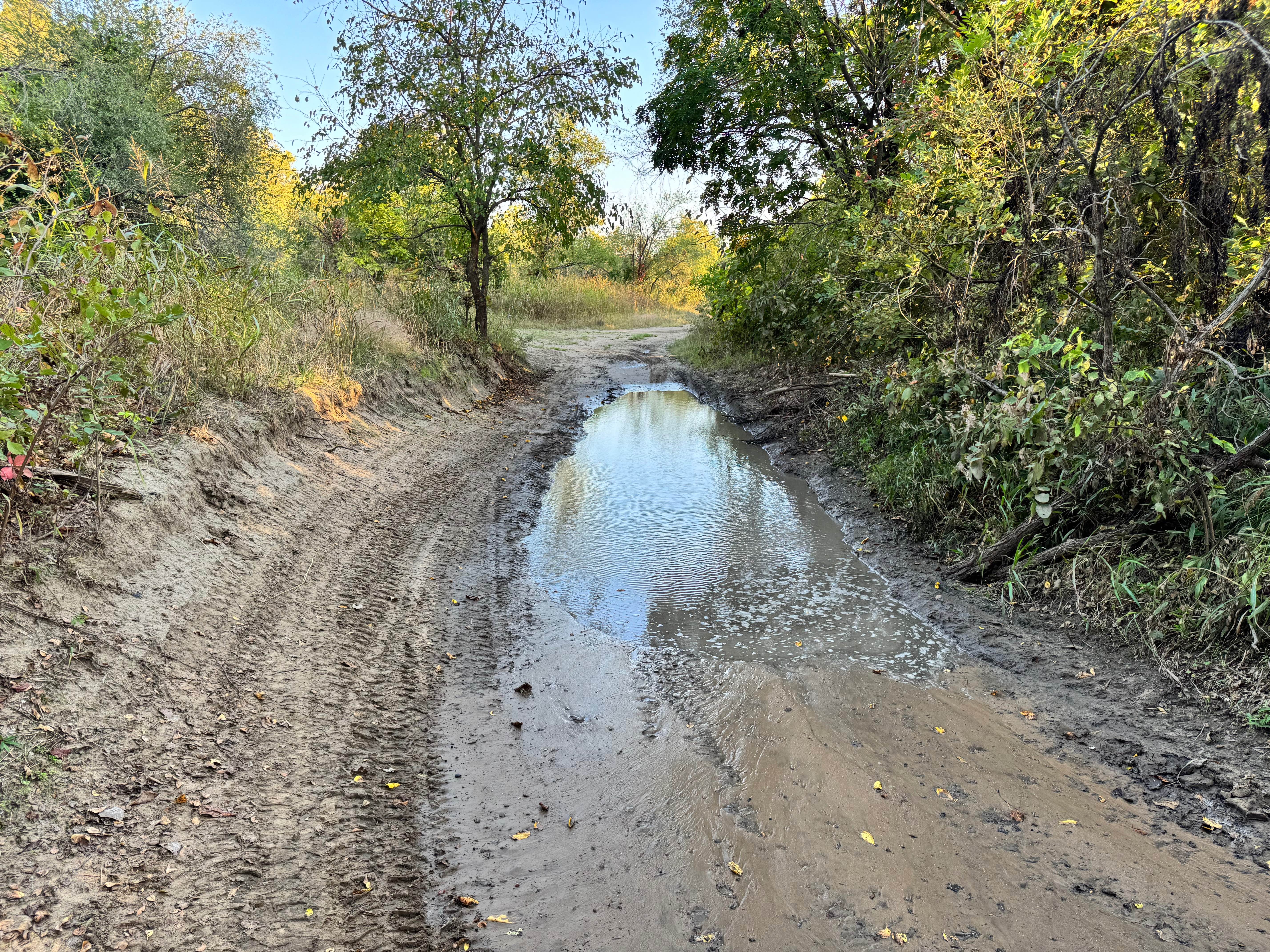
This trail provides access to what is the easiest entrance to the Arkansas River sandbar, making it a preferred route for those looking to reach the river without tackling extreme terrain. The trail itself is mild, with no major obstacles and only a few shallow mud holes, all of which appear to have a firm bottom. However, caution is still necessary. The condition of the sandbar can change overnight due to fluctuating water levels, erosion, or shifting river flow. Before attempting to drive onto the sandbar, it's important to stop, assess the river level, and confirm that the surface is stable and exposed. While simple in nature, this trail requires situational awareness near the river's edge.
Photos of Sandy Bottom Boulevard
Difficulty
This trail is mostly easy with only mild mud holes, but the approach to the Arkansas River sandbar requires caution. Changing water levels can alter conditions overnight, making good judgment essential, especially near the river's edge.
History
This park was formerly known as Sandy Bottoms, and longtime visitors may still refer to it by that name. The access road and staging area have evolved over time, but it remains a well-known local spot for off-road events and community rides.
Status Reports
Sandy Bottom Boulevard can be accessed by the following ride types:
- High-Clearance 4x4
- SUV
- SxS (60")
Sandy Bottom Boulevard Map
Popular Trails

Winner Winner

Wayne's World
Ft. Scott Ave.

Black Hole
The onX Offroad Difference
onX Offroad combines trail photos, descriptions, difficulty ratings, width restrictions, seasonality, and more in a user-friendly interface. Available on all devices, with offline access and full compatibility with CarPlay and Android Auto. Discover what you’re missing today!