Boost Leak
Total Miles
0.0
Technical Rating
Best Time
Spring, Summer, Fall
Trail Type
Full-Width Road
Accessible By
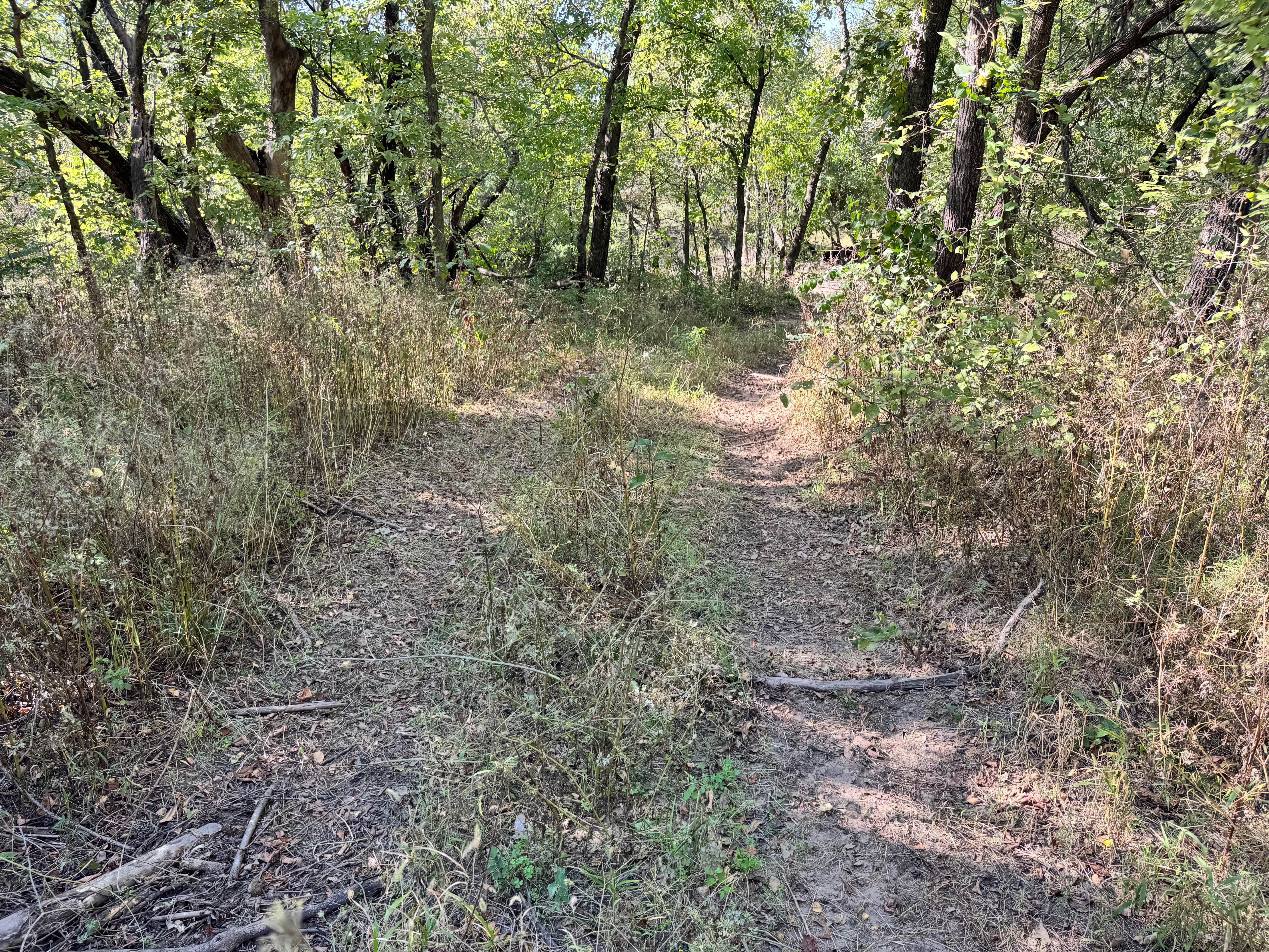
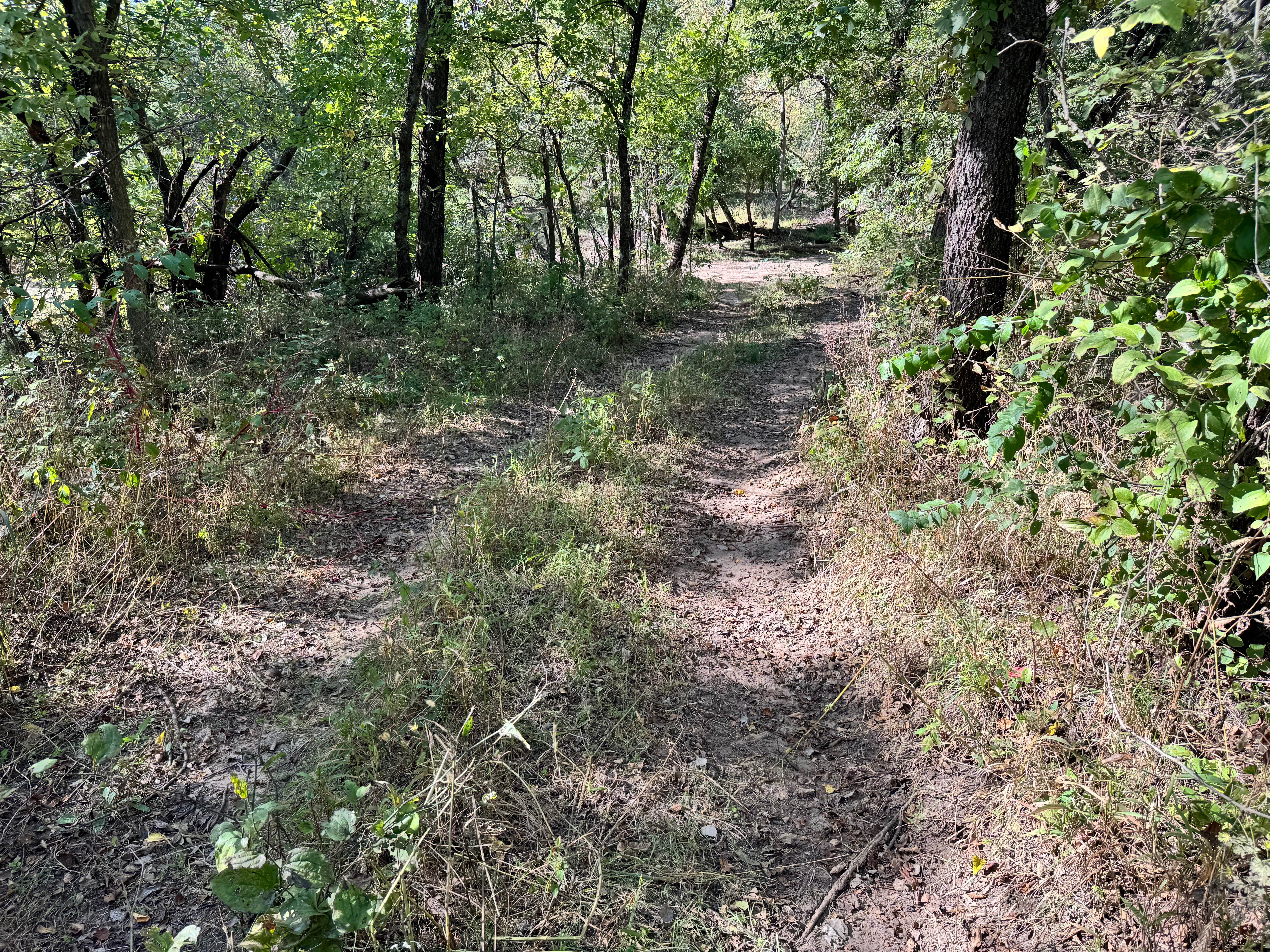
Trail Overview
This trail follows a gentle hillside and serves primarily as a connector to several other routes in the area. The incline is mild, making it easy to navigate, although there are a few off-camber sections where the vehicle may lean slightly. The path is generally smooth with no major obstacles, rocks, or ruts to contend with, making it beginner-friendly and suitable for stock vehicles. Light overgrowth is present along portions of the trail, and low branches or brush may cause minor pinstriping if not avoided.
Photos of Boost Leak
Difficulty
This trail is easy overall, with only slight off-camber sections and minor overgrowth to consider. There are no major obstacles, making it accessible for stock vehicles and beginner drivers. Light pinstriping is possible, but the route remains low-risk and straightforward.
History
This park was formerly known as Sandy Bottoms, and longtime visitors may still refer to it by that name. The access road and staging area have evolved over time, but it remains a well-known local spot for off-road events and community rides.
Status Reports
Boost Leak can be accessed by the following ride types:
- High-Clearance 4x4
- SUV
- SxS (60")
Boost Leak Map
Popular Trails
Agnes City Road
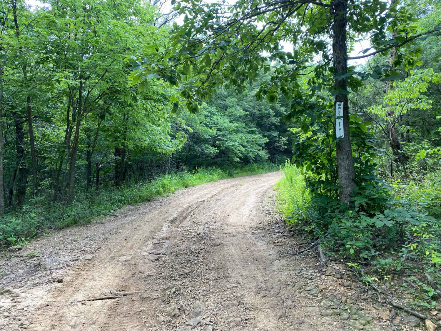
Wagon Trail

Muskrat Hill

The onX Offroad Difference
onX Offroad combines trail photos, descriptions, difficulty ratings, width restrictions, seasonality, and more in a user-friendly interface. Available on all devices, with offline access and full compatibility with CarPlay and Android Auto. Discover what you’re missing today!