RS91
Total Miles
6.6
Technical Rating
Best Time
Summer, Fall, Winter, Spring
Trail Type
Full-Width Road
Accessible By
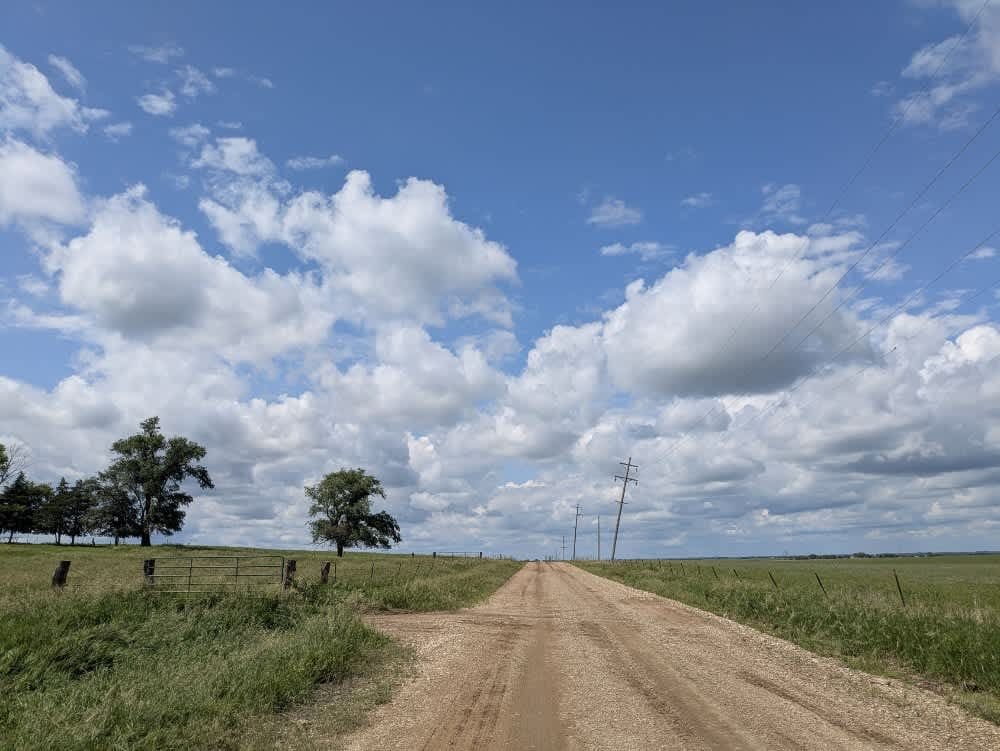
Trail Overview
This wide and mostly well-maintained trail has a gravel surface that can become muddy and slippery in wet conditions. There are patches of corrugation and a few potholes to watch out for. The route winds past farms and gently rolling hills, eventually linking one town to another. No formal or dispersed camping options along the trail exist, and amenities like water and trash disposal are not available. Cell coverage is limited, so check your onX app for service information before heading out.
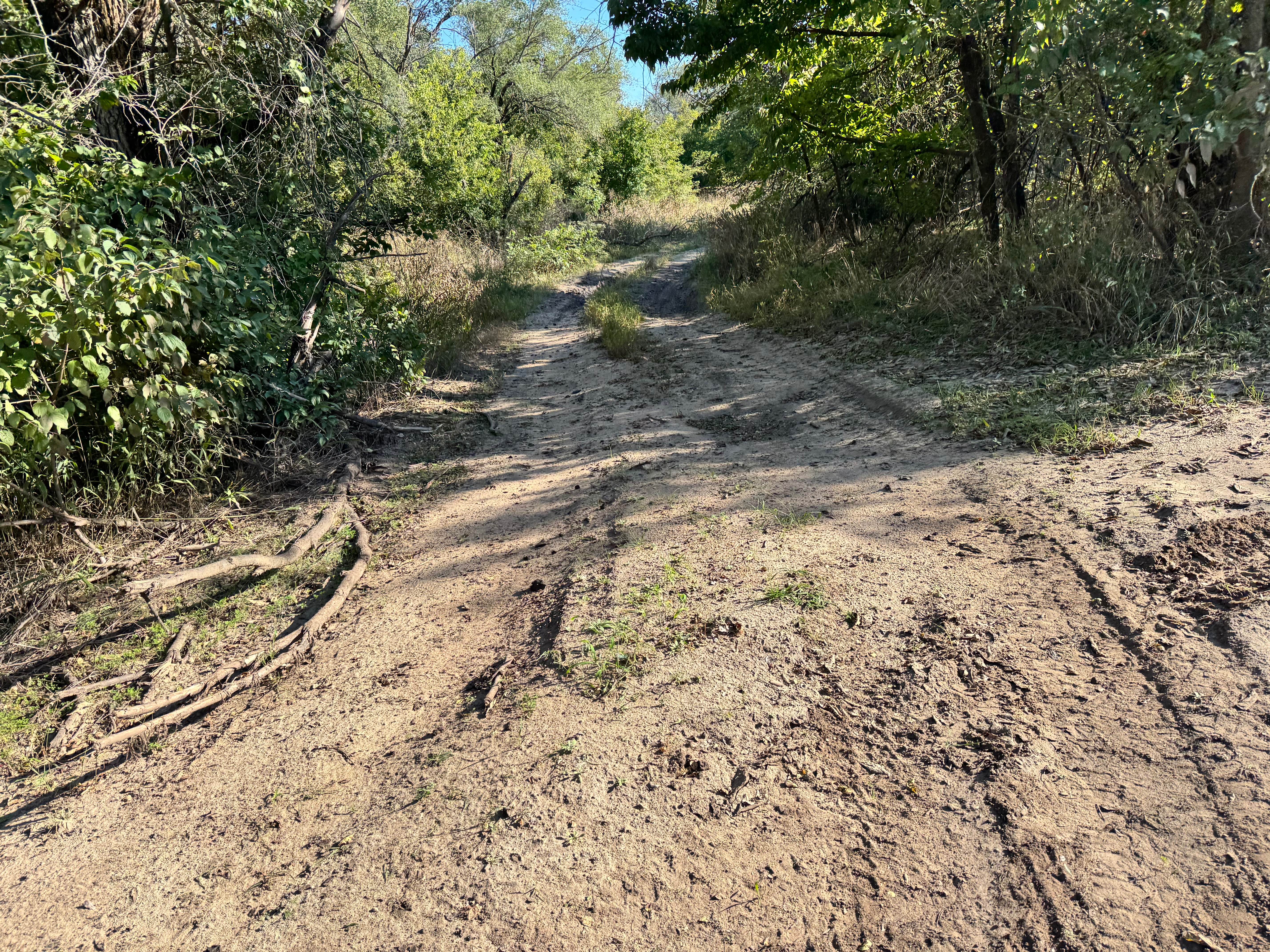
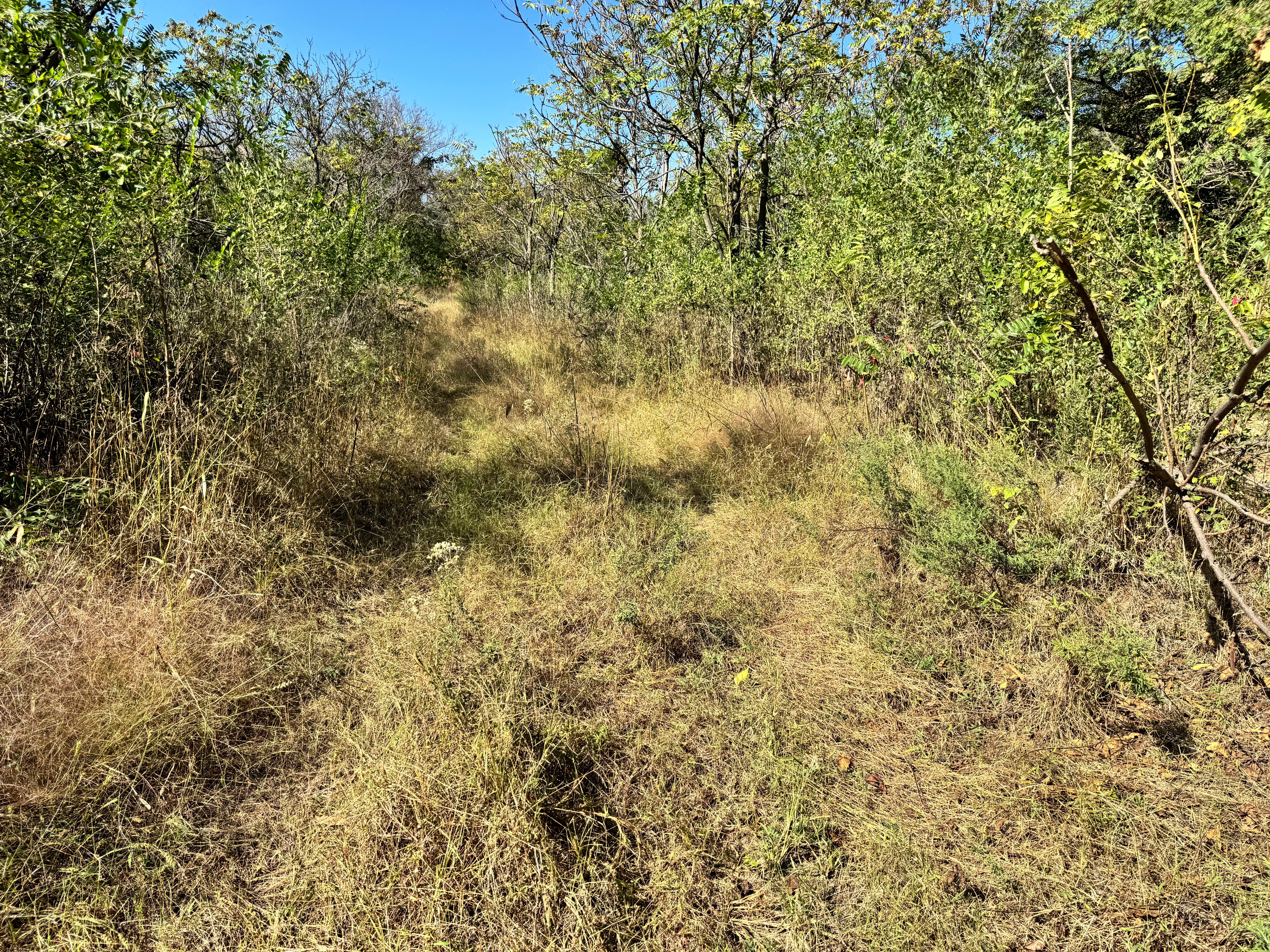
Photos of RS91
Difficulty
The trail is well-maintained and routinely graded to support a range of local use, from daily agricultural traffic by farmers to occasional travelers and outdoor enthusiasts passing through the area. Its good condition makes it easily accessible and reliable for all types of vehicles.
History
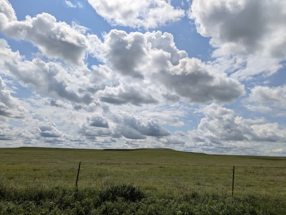
This route traces the historic heartland of the Flint Hills, a region that has remained largely untouched by modern agriculture due to its shallow, rocky soils--making it one of the last strongholds of North America's tallgrass prairie. The trails crosses land with deep cultural roots--from Native American hunting grounds to working cattle ranches. Expect long views over tallgrass prairie, passing ghost towns, century-old barns, and scenic byways that have carried generations of ranchers and travelers alike.
Status Reports
RS91 can be accessed by the following ride types:
- High-Clearance 4x4
- SUV
RS91 Map
Popular Trails

Warren's Warp
Power Stroke Pass
Crank Case Crawl

Dustys Drop
The onX Offroad Difference
onX Offroad combines trail photos, descriptions, difficulty ratings, width restrictions, seasonality, and more in a user-friendly interface. Available on all devices, with offline access and full compatibility with CarPlay and Android Auto. Discover what you’re missing today!