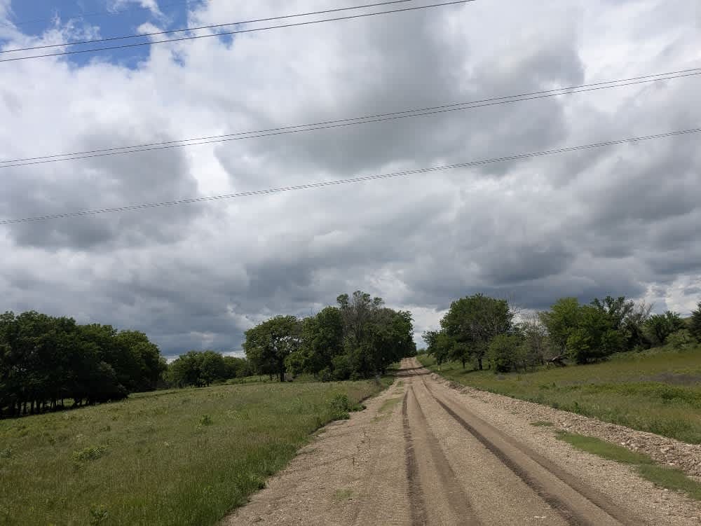
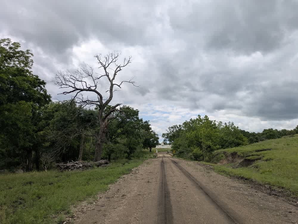
Sharp Creek Road
Total Miles
10.6
Technical Rating
Best Time
Spring, Summer, Winter, Fall
Trail Type
Full-Width Road
Accessible By
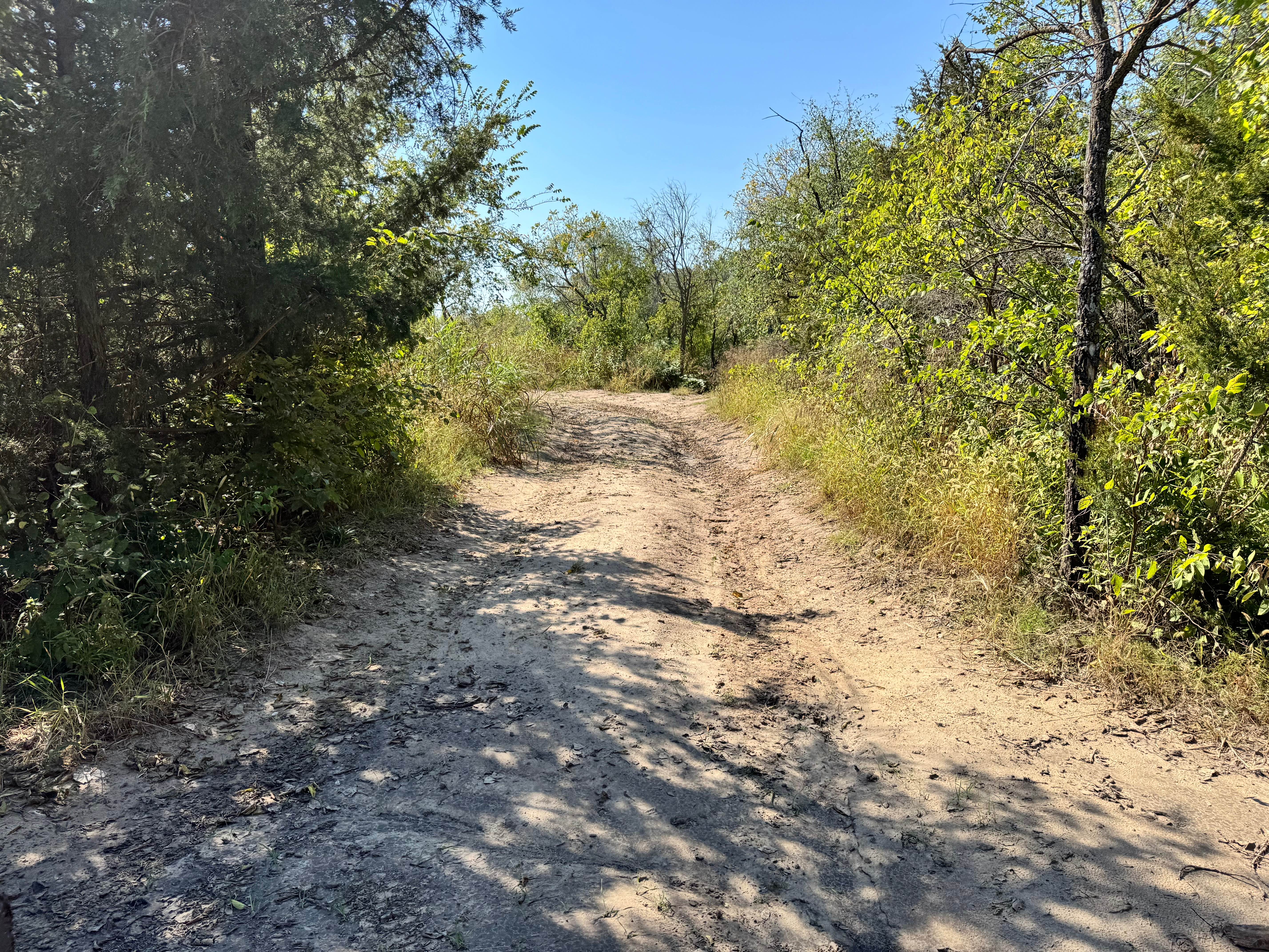
Trail Overview
This long gravel trail is generally well-maintained but can get muddy and slick in sections, especially after rain. Expect occasional corrugation and potholes. The route crosses several small bridges and winds past farmland and scenic rolling hills. A highlight of the trail is a bridge over the interstate. No established or dispersed campsites are along the way, and amenities like water and trash disposal are unavailable. Cell service is limited throughout the area, so it's best to check your onX app ahead of time for coverage.
Photos of Sharp Creek Road
Difficulty
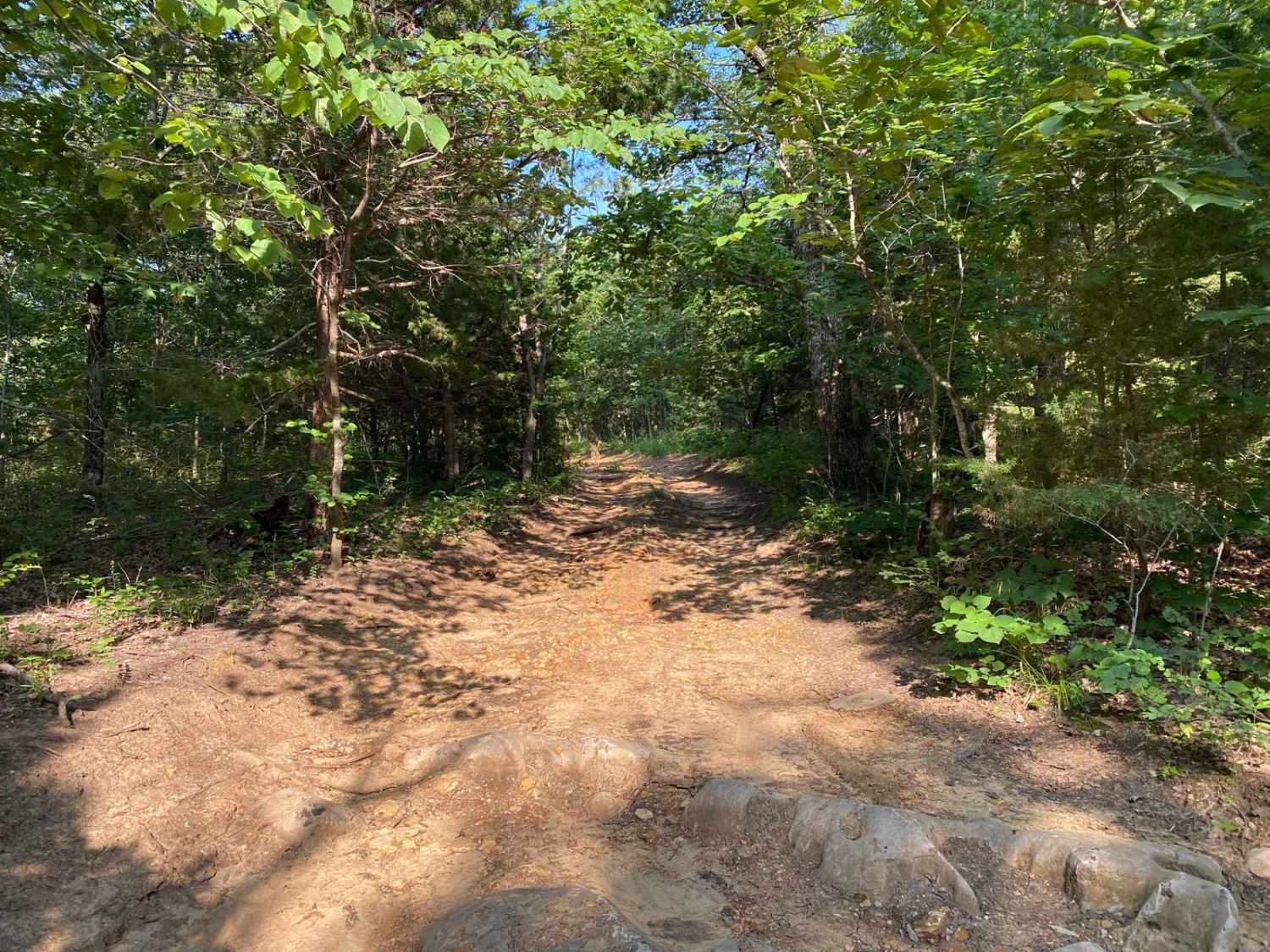
The trail is well-maintained and routinely graded to support a range of local use, from daily agricultural traffic by farmers to occasional travelers and outdoor enthusiasts passing through the area. Its good condition makes it easily accessible and reliable for all types of vehicles.
History
This route traces the historic heartland of the Flint Hills, a region that has remained largely untouched by modern agriculture due to its shallow, rocky soils--making it one of the last strongholds of North America's tallgrass prairie. The trails crosses land with deep cultural roots--from Native American hunting grounds to working cattle ranches. Expect long views over tallgrass prairie, passing ghost towns, century-old barns, and scenic byways that have carried generations of ranchers and travelers alike.
Status Reports
Sharp Creek Road can be accessed by the following ride types:
- High-Clearance 4x4
- SUV
Sharp Creek Road Map
Popular Trails
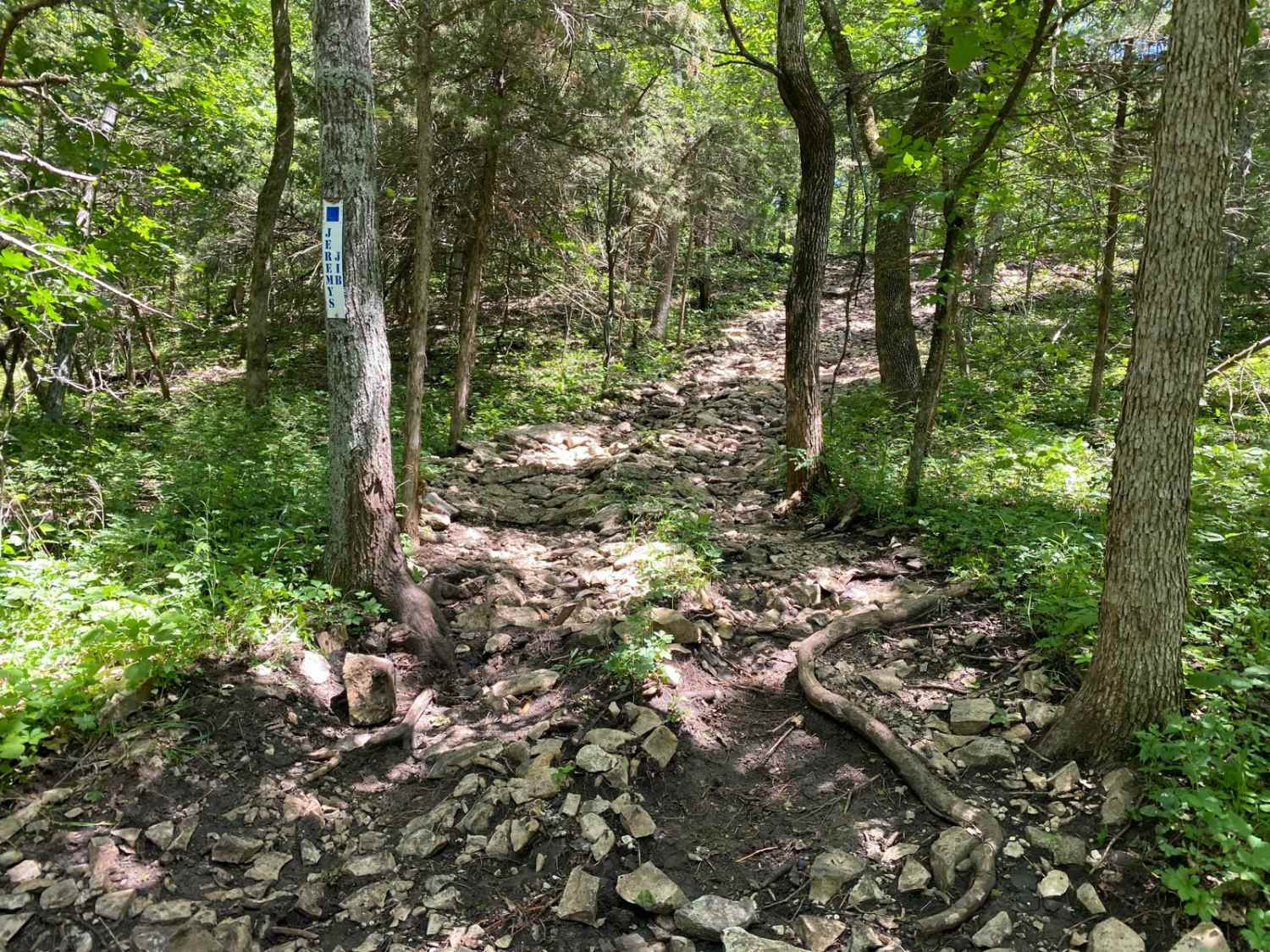
Jeremy's Jibs
Glow Plug Gulch
Wagon Trail Connector
The onX Offroad Difference
onX Offroad combines trail photos, descriptions, difficulty ratings, width restrictions, seasonality, and more in a user-friendly interface. Available on all devices, with offline access and full compatibility with CarPlay and Android Auto. Discover what you’re missing today!