Road 7
Total Miles
7.1
Technical Rating
Best Time
Summer, Winter, Fall, Spring
Trail Type
Full-Width Road
Accessible By
Trail Overview
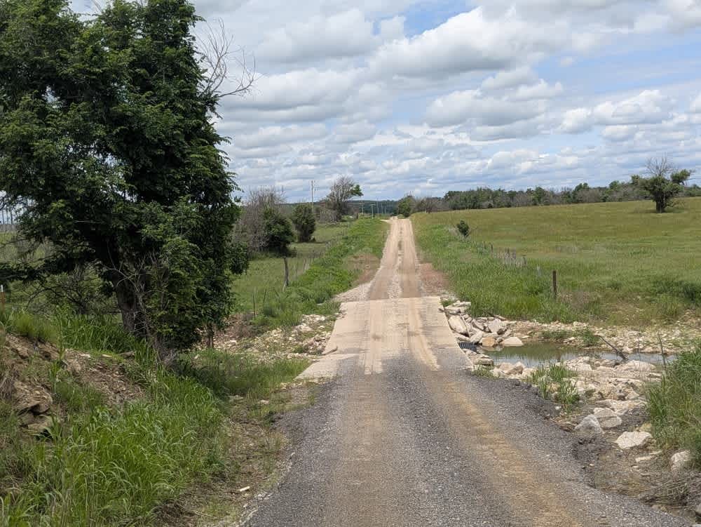
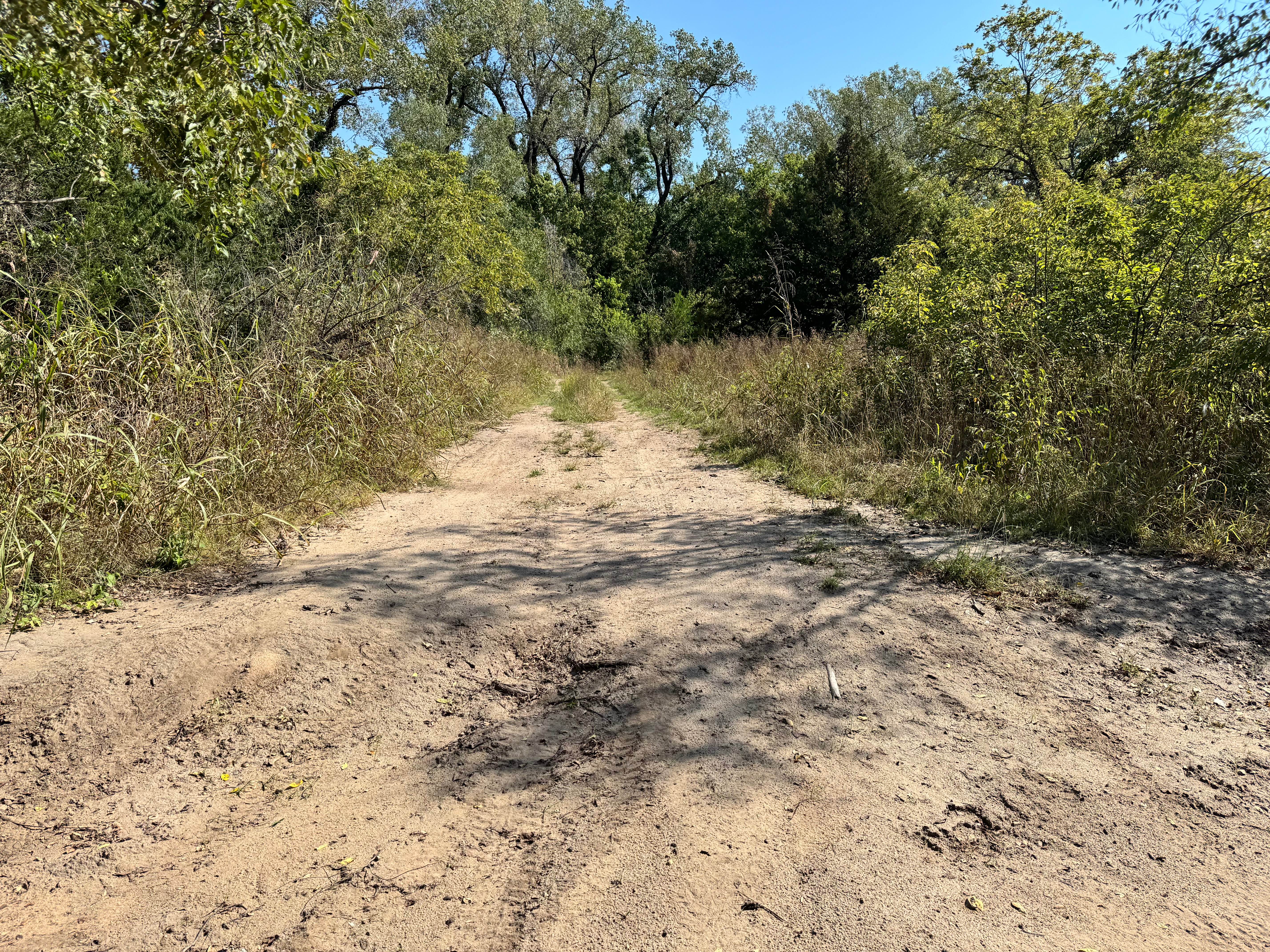
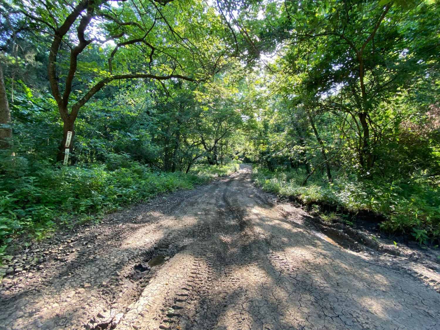
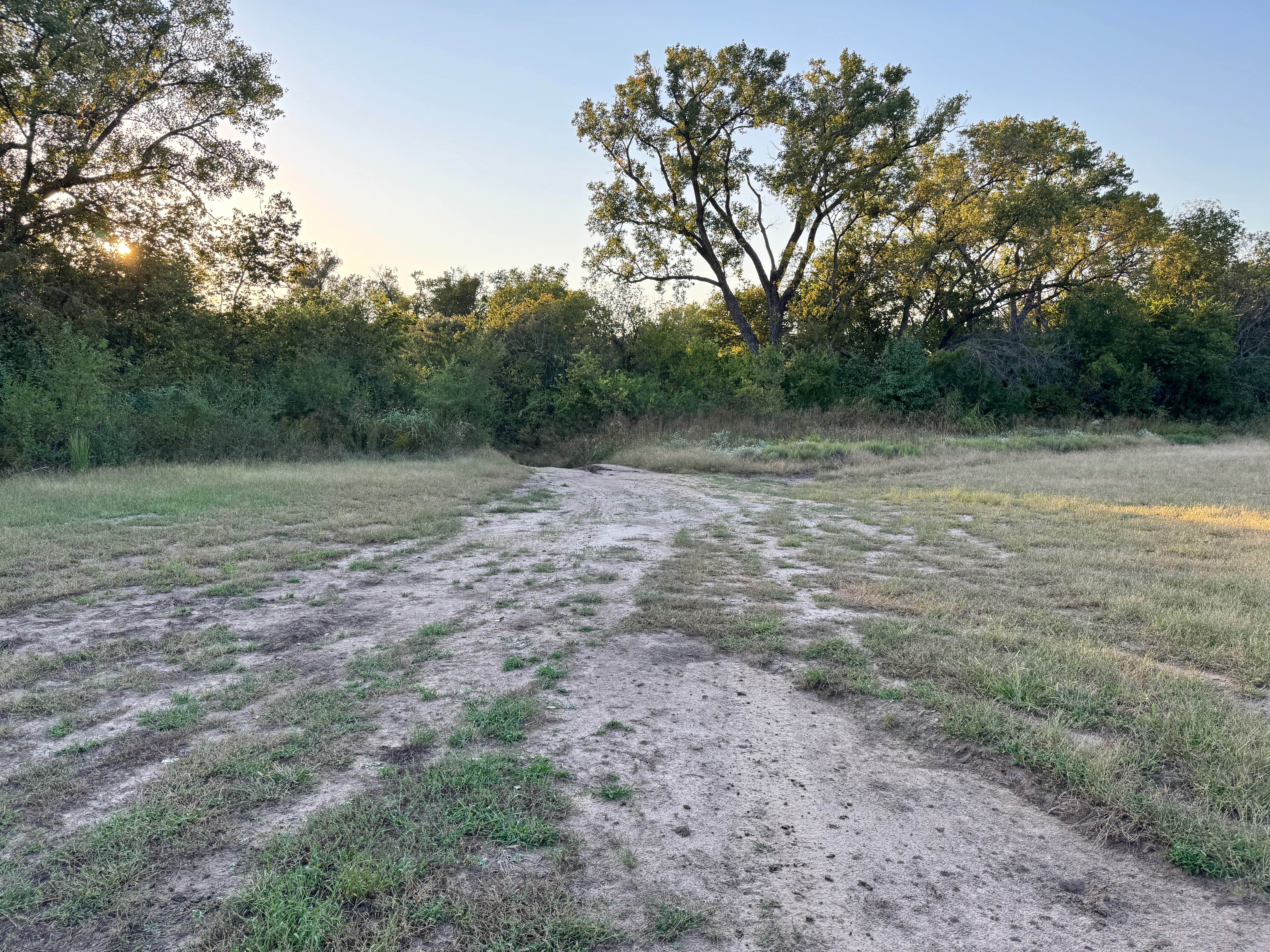
The road begins as a narrow, twisting ribbon of rough gravel, its ruts rattling the rig while it drops toward a series of shallow stream crossings where mud can linger long after a storm. Once you leave the water behind, the route straightens and broadens, smoothing out under the wheels thanks to the farm traffic that relies on it each day. There is nowhere to pitch a tent, no trash bins, no water taps along the way, and cell coverage flickers on and off, so keep your onX map ready whenever a bar appears.
Photos of Road 7

Difficulty
This road consists primarily of well-maintained county gravel roads and rural connectors running through the eastern edge of the Flint Hills. Roads are graded regularly, wide enough for two vehicles to pass, and suitable for all high-clearance vehicles and most passenger vehicles in dry conditions.
History
This route traces the historic heartland of the Flint Hills, a region that has remained largely untouched by modern agriculture due to its shallow, rocky soils--making it one of the last strongholds of North America's tallgrass prairie. The trail crosses land with deep cultural roots--from Native American hunting grounds to working cattle ranches. Expect long views over tallgrass prairie, passing ghost towns, century-old barns, and scenic byways that have carried generations of ranchers and travelers alike.
Status Reports
Road 7 can be accessed by the following ride types:
- High-Clearance 4x4
- SUV
Road 7 Map
Popular Trails
Diesel Drip Drive

Rust Bucket Alley
Boost Boulevard
The onX Offroad Difference
onX Offroad combines trail photos, descriptions, difficulty ratings, width restrictions, seasonality, and more in a user-friendly interface. Available on all devices, with offline access and full compatibility with CarPlay and Android Auto. Discover what you’re missing today!