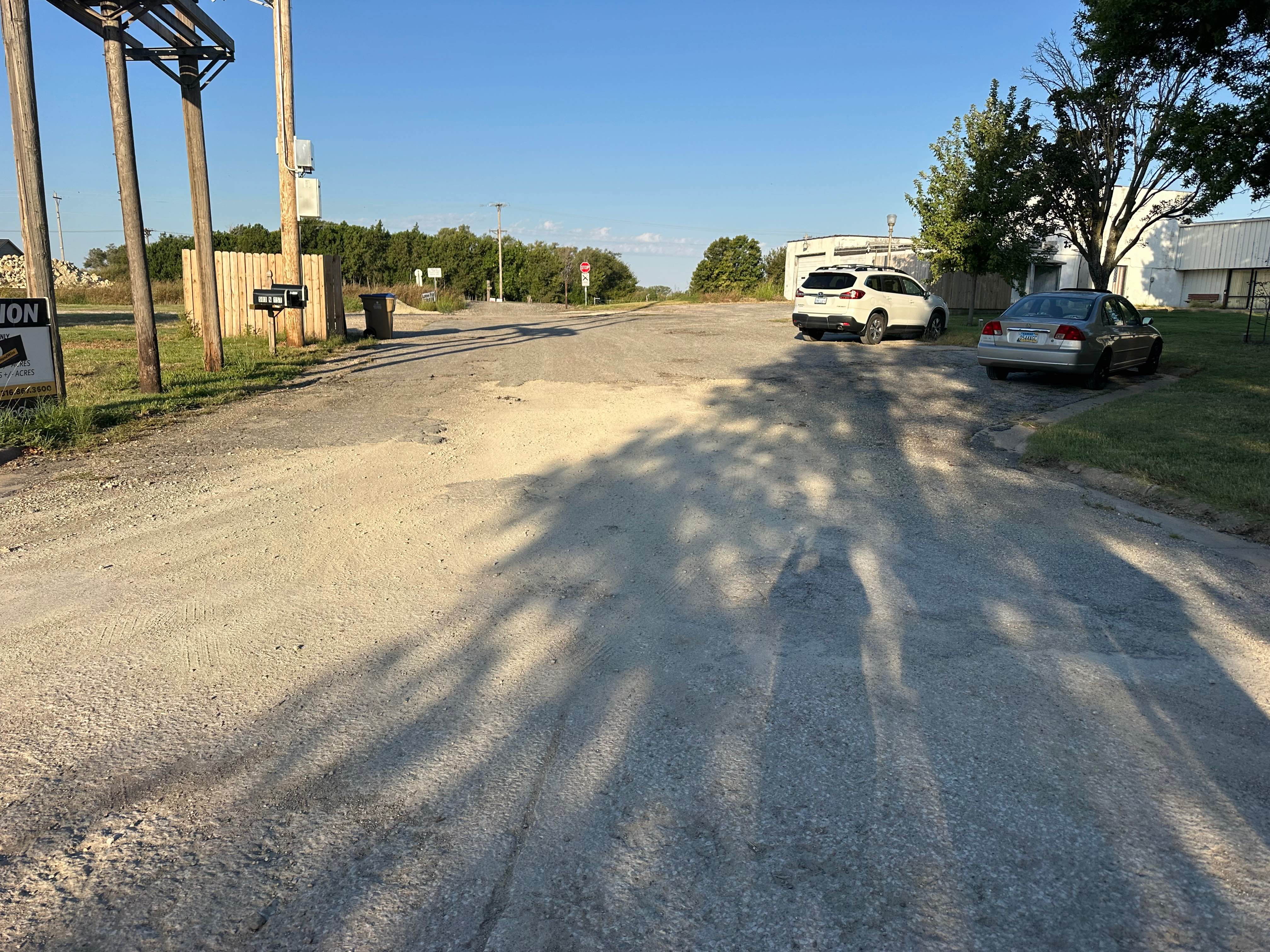
Park Access Road
Total Miles
0.2
Technical Rating
Best Time
Spring, Summer, Fall
Trail Type
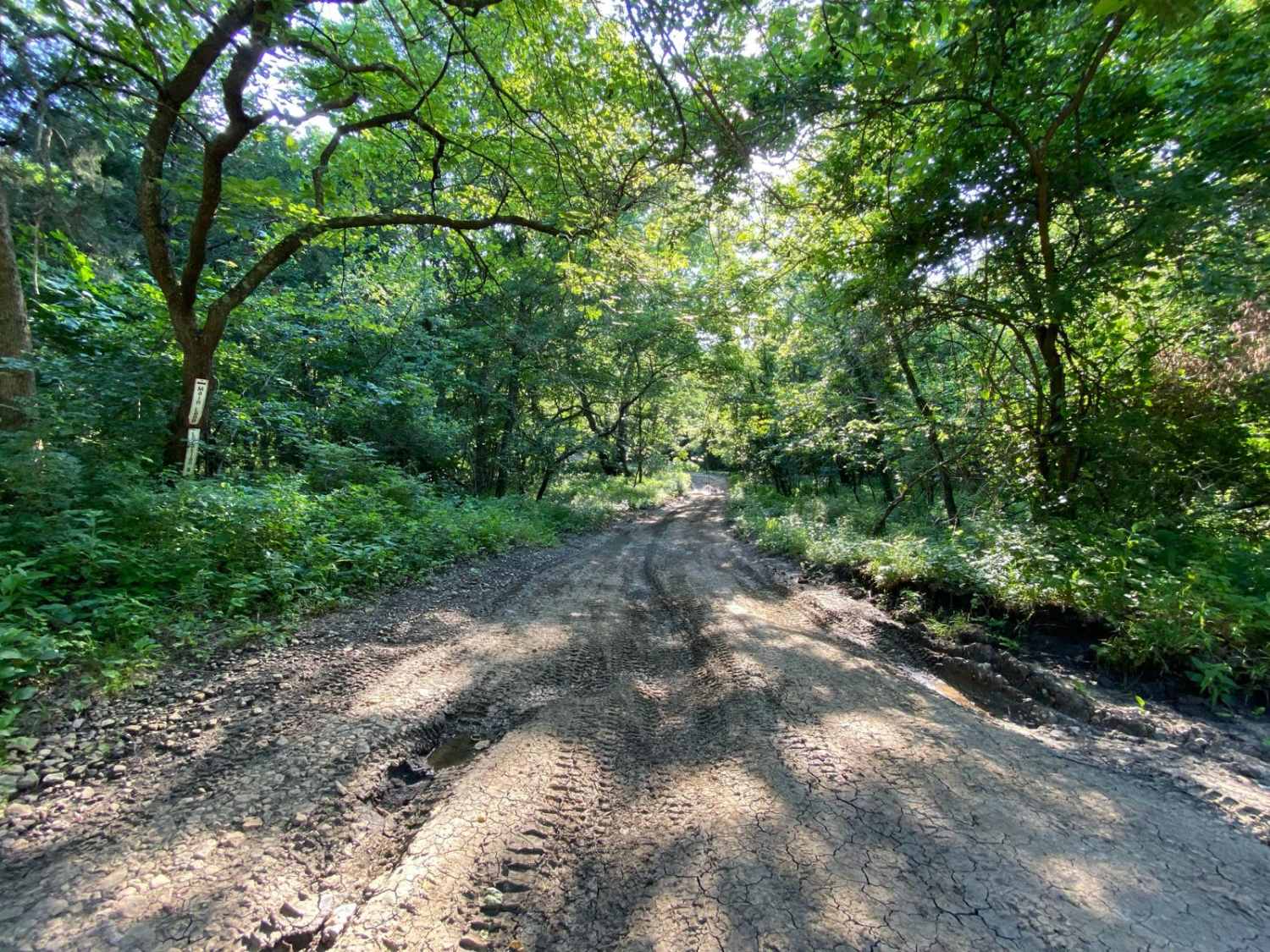
Full-Width Road
Accessible By
Trail Overview
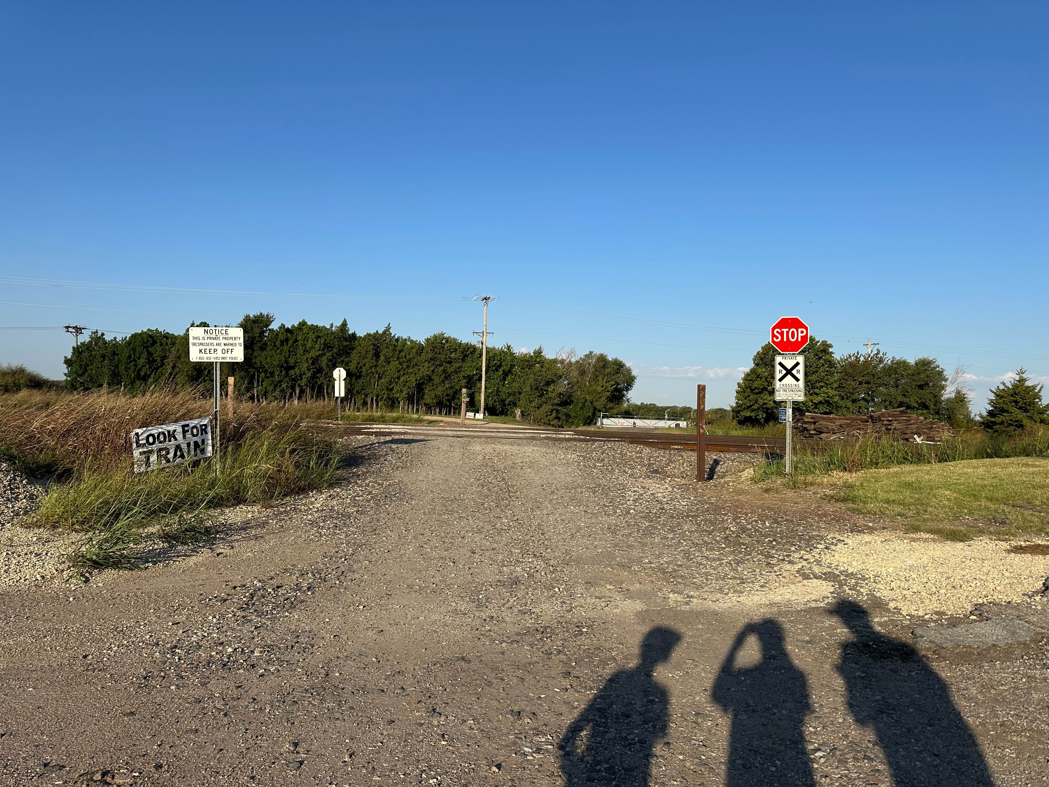
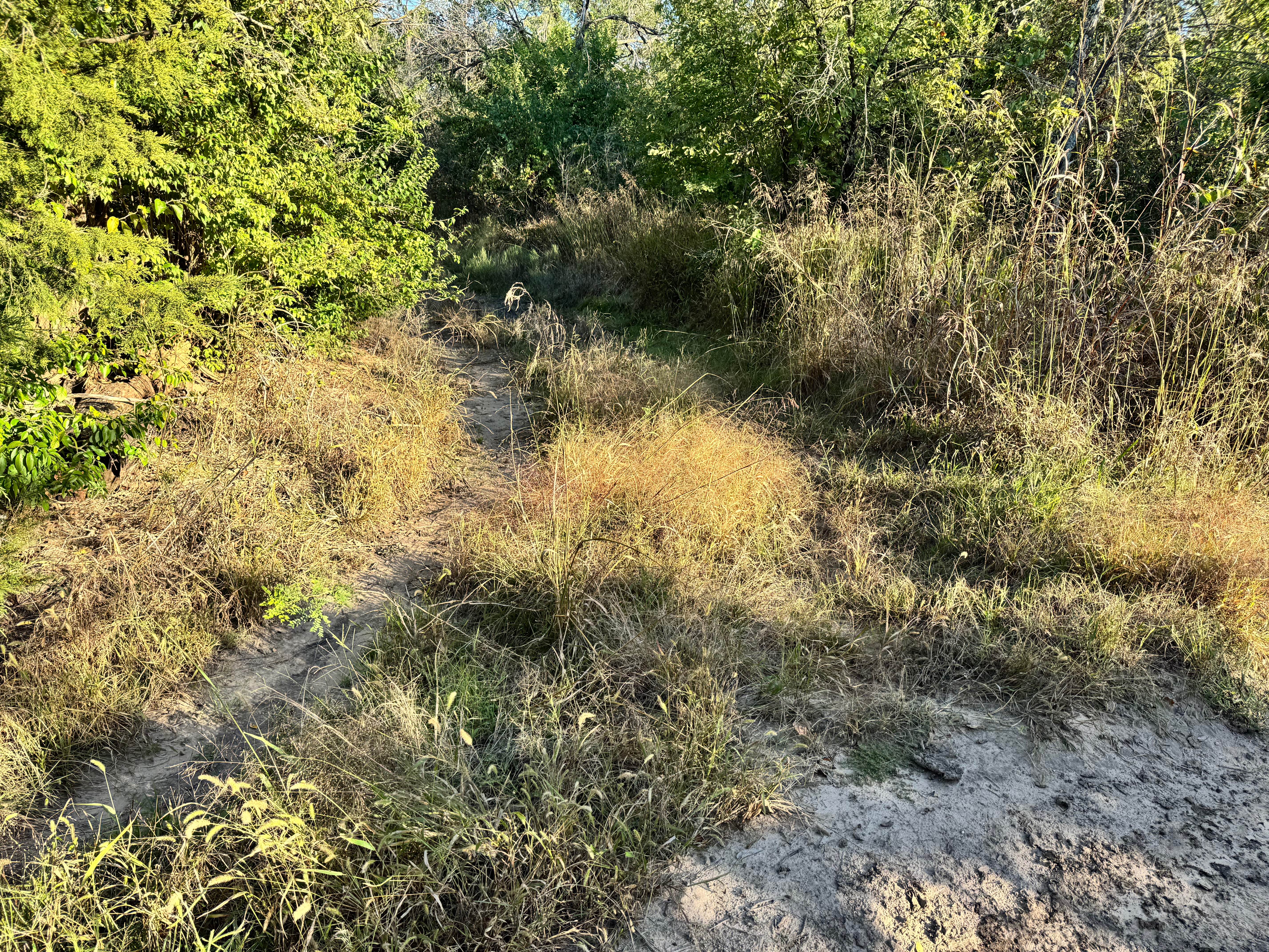
This track leads you off the concrete road and onto gravel, guiding you toward the railroad crossing. Once you pass the tracks, the surroundings shift from public space to private grounds. The road continues straight to the main gate, where a "Members Only" sign marks controlled access. Just beyond that gate sits the office area for check-in. From there, the path opens into wider gravel lanes, passing RVs, equipment, and open fields as it carries you further towards the park.
Photos of Park Access Road
Difficulty
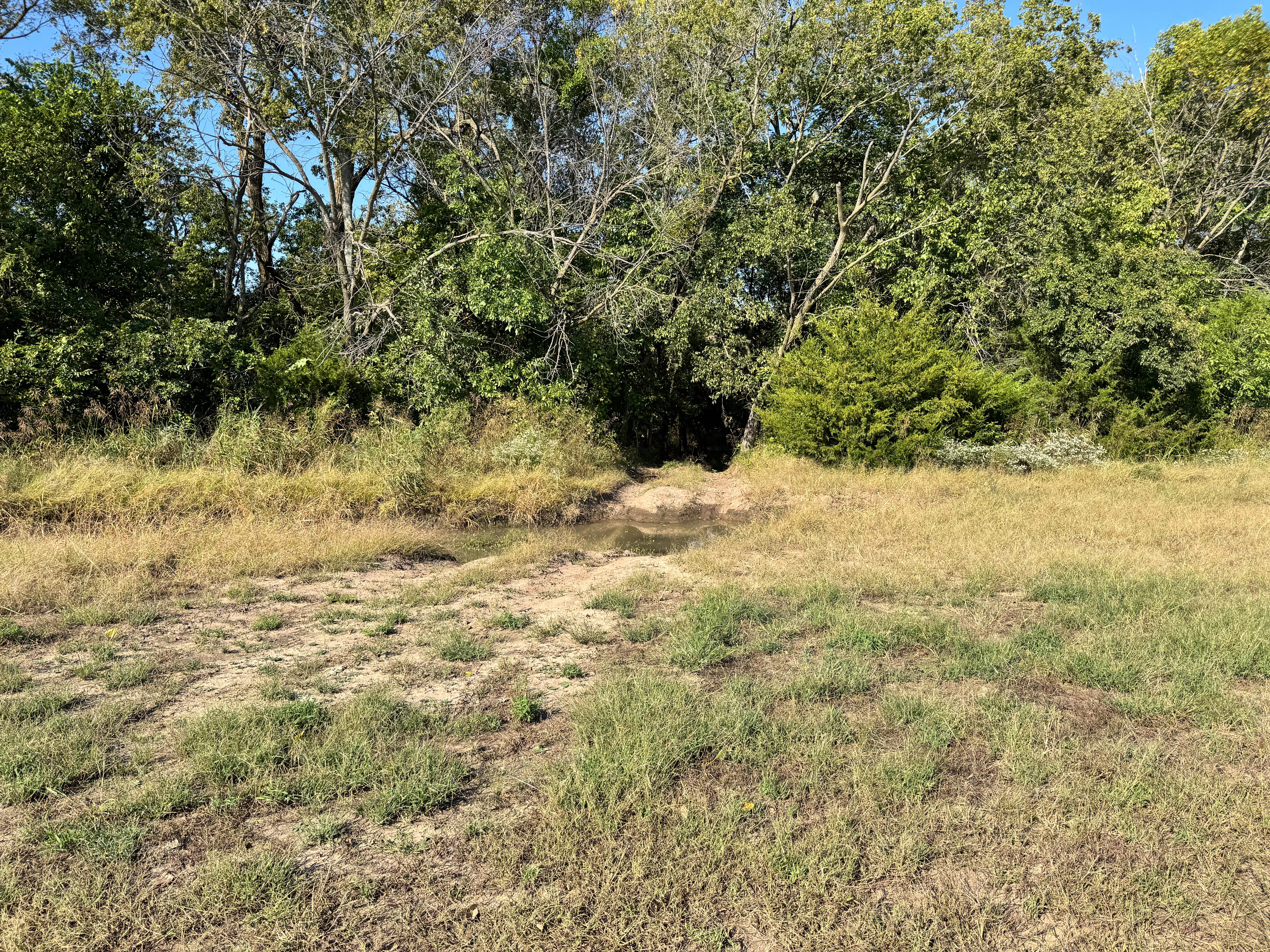
This trail consists primarily of maintained gravel surfaces with minimal elevation change and no technical obstacles. Passing areas are wide, and the road is suitable for most stock 4WD and high-clearance 2WD vehicles. While the route is non-technical, caution is advised during wet weather as gravel can become slick or rutted. No vehicle modifications are required, and this route is appropriate for beginners or those towing trailers.
History
This park was formerly known as Sandy Bottoms, and longtime visitors may still refer to it by that name. The access road and staging area have evolved over time, but it remains a well-known local spot for off-road events and community rides.
Status Reports
Park Access Road can be accessed by the following ride types:
- High-Clearance 4x4
- SUV
- SxS (60")
Park Access Road Map
Popular Trails
Burnout Boulevard

Deliverance
The onX Offroad Difference
onX Offroad combines trail photos, descriptions, difficulty ratings, width restrictions, seasonality, and more in a user-friendly interface. Available on all devices, with offline access and full compatibility with CarPlay and Android Auto. Discover what you’re missing today!