Madison Road
Total Miles
5.4
Technical Rating
Best Time
Summer, Fall, Winter, Spring
Trail Type
Full-Width Road
Accessible By
Trail Overview
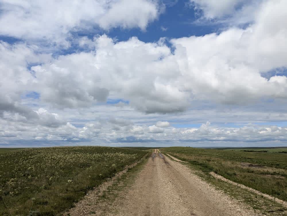
This narrow gravel track weaves through open range, its surface slick and deeply rutted after rain. You'll cross several cattle gates and may find inquisitive cows lingering on the path, so keep your speed in check. The route twists and turns up ascents and down descents, rewarding patience with wide, uninterrupted views of the surrounding countryside. Camping facilities do not exist here--there are no trash bins or potable water sources--and cell signal fades in and out. Before you head out, check your onX app for coverage details.
Photos of Madison Road
Difficulty
The trail is well-maintained and routinely graded to support a range of local use, from daily agricultural traffic by farmers to occasional travelers and outdoor enthusiasts passing through the area. Its good condition makes it easily accessible and reliable for all types of vehicles.
History
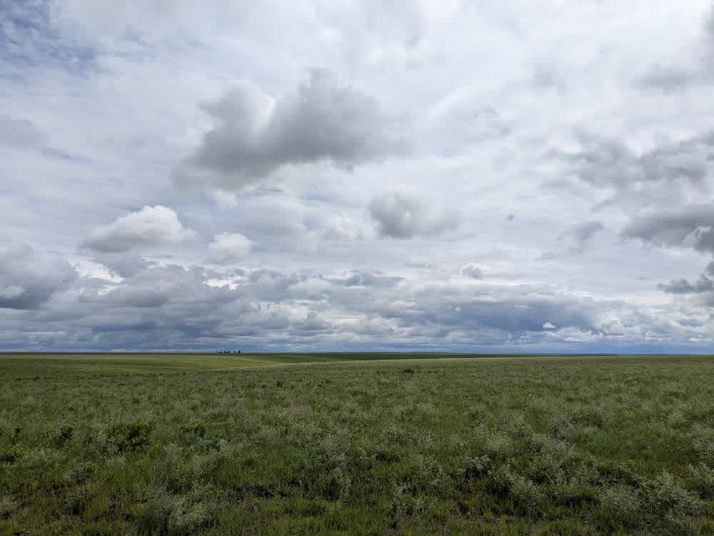
This route traces the historic heartland of the Flint Hills, a region that has remained largely untouched by modern agriculture due to its shallow, rocky soils--making it one of the last strongholds of North America's tallgrass prairie. The trail crosses land with deep cultural roots--from Native American hunting grounds to working cattle ranches. Expect long views over tallgrass prairie, passing ghost towns, century-old barns, and scenic byways that have carried generations of ranchers and travelers alike.
Status Reports
Madison Road can be accessed by the following ride types:
- High-Clearance 4x4
- SUV
Madison Road Map
Popular Trails

Window Wipeout
Intercooler Junction

Heartbreak Ridge
The onX Offroad Difference
onX Offroad combines trail photos, descriptions, difficulty ratings, width restrictions, seasonality, and more in a user-friendly interface. Available on all devices, with offline access and full compatibility with CarPlay and Android Auto. Discover what you’re missing today!