Old Highway 50
Total Miles
2.9
Technical Rating
Best Time
Fall, Winter, Spring, Summer
Trail Type
Full-Width Road
Accessible By
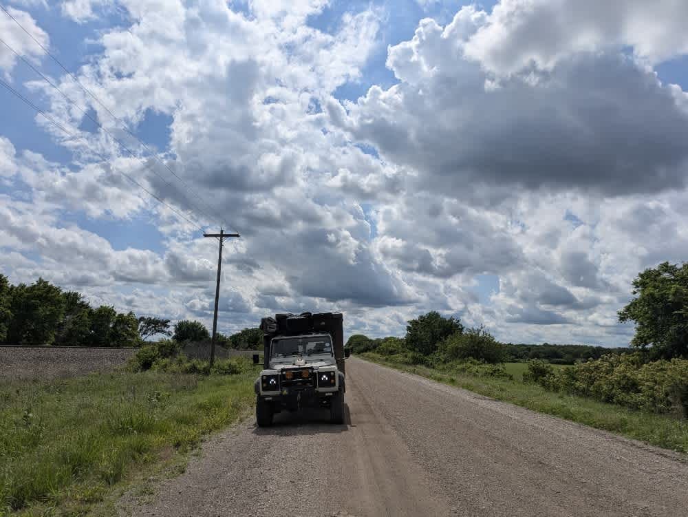
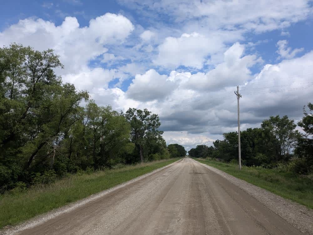
Trail Overview
This trail is a broad, well-maintained gravel road that runs alongside railway tracks for much of the way. It's easy to pick up speed here, but it's worth slowing down as the route is shared with local farm traffic. The trail crosses several small bridges and winds through farmland and rolling hills, connecting two towns, with one end located in the scenic community of Strong City, where a tourist information centre is dedicated to the Flint Trail. This is also close to the Tall Grass Prairie National Reserve, where you can witness bison in the wild. No formal or dispersed camping options along the trail, and it lacks basic amenities like water and trash disposal. Cell service is limited, so it's best to consult your onX app for coverage.
Photos of Old Highway 50
Difficulty
The trail is well-maintained and routinely graded to support a range of local use, from daily agricultural traffic by farmers to occasional travelers and outdoor enthusiasts passing through the area. Its good condition makes it easily accessible and reliable for all types of vehicles.
History
This route traces the historic heartland of the Flint Hills, a region that has remained largely untouched by modern agriculture due to its shallow, rocky soils--making it one of the last strongholds of North America's tallgrass prairie. The trails crosses land with deep cultural roots--from Native American hunting grounds to working cattle ranches. Expect long views over tallgrass prairie, passing ghost towns, century-old barns, and scenic byways that have carried generations of ranchers and travelers alike.
Status Reports
Old Highway 50 can be accessed by the following ride types:
- High-Clearance 4x4
- SUV
Old Highway 50 Map
Popular Trails

Big Brutus Poker Run
Trailer Queen Trail

Dustys Drop
The onX Offroad Difference
onX Offroad combines trail photos, descriptions, difficulty ratings, width restrictions, seasonality, and more in a user-friendly interface. Available on all devices, with offline access and full compatibility with CarPlay and Android Auto. Discover what you’re missing today!