Kahola Road
Total Miles
2.8
Technical Rating
Best Time
Summer, Winter, Fall, Spring
Trail Type
Full-Width Road
Accessible By
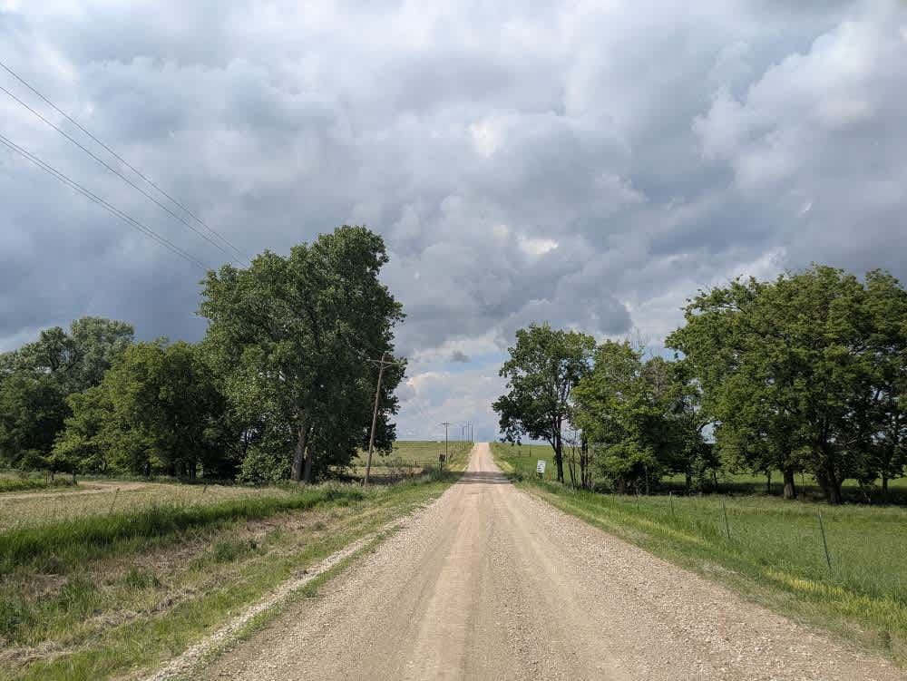
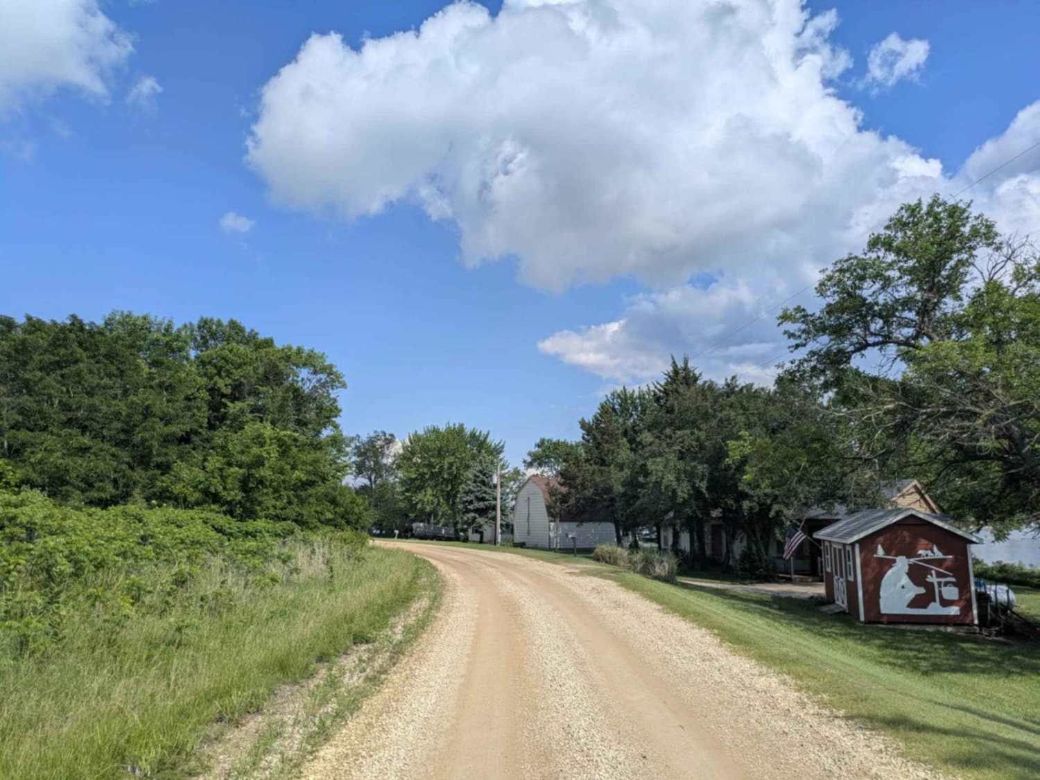
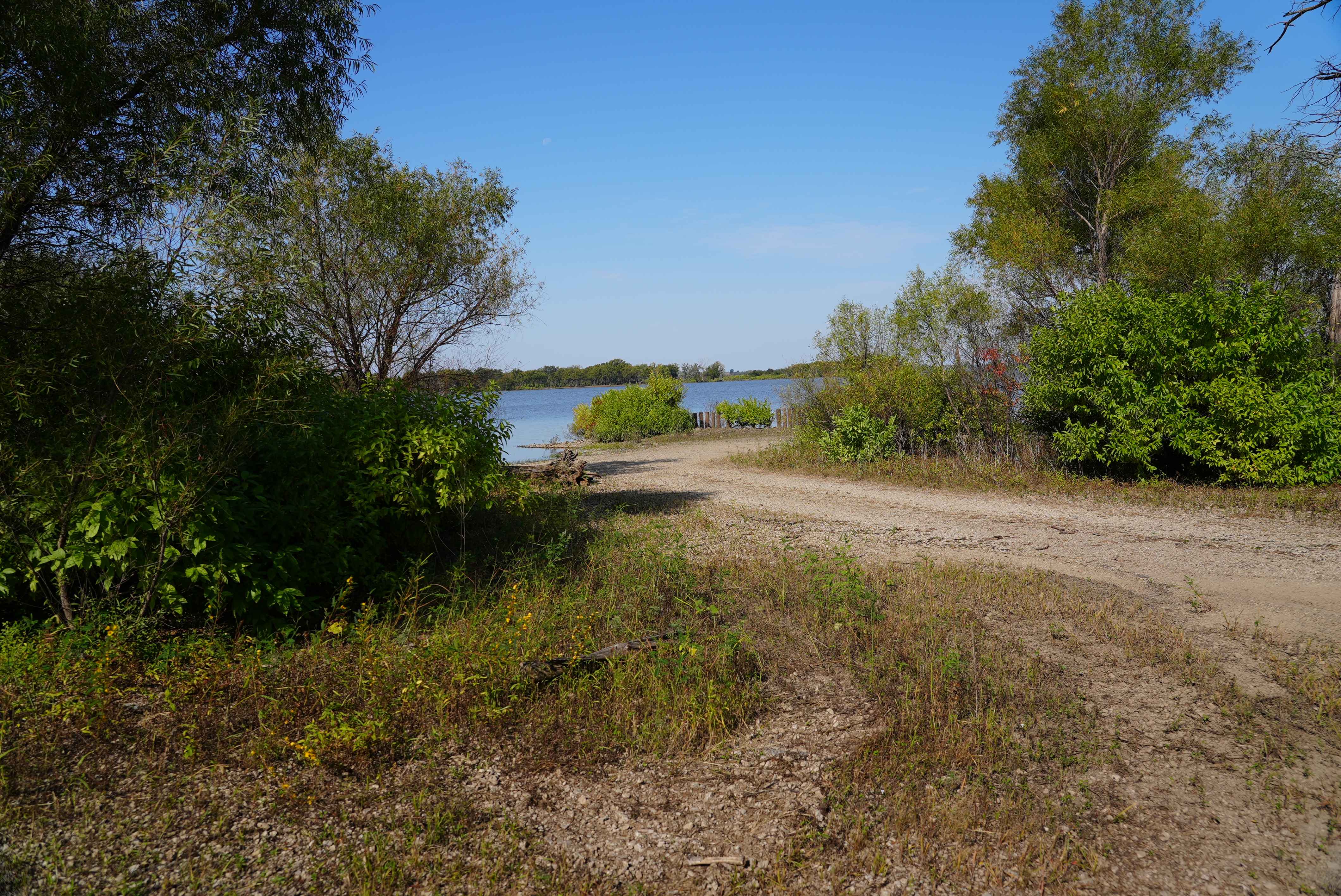
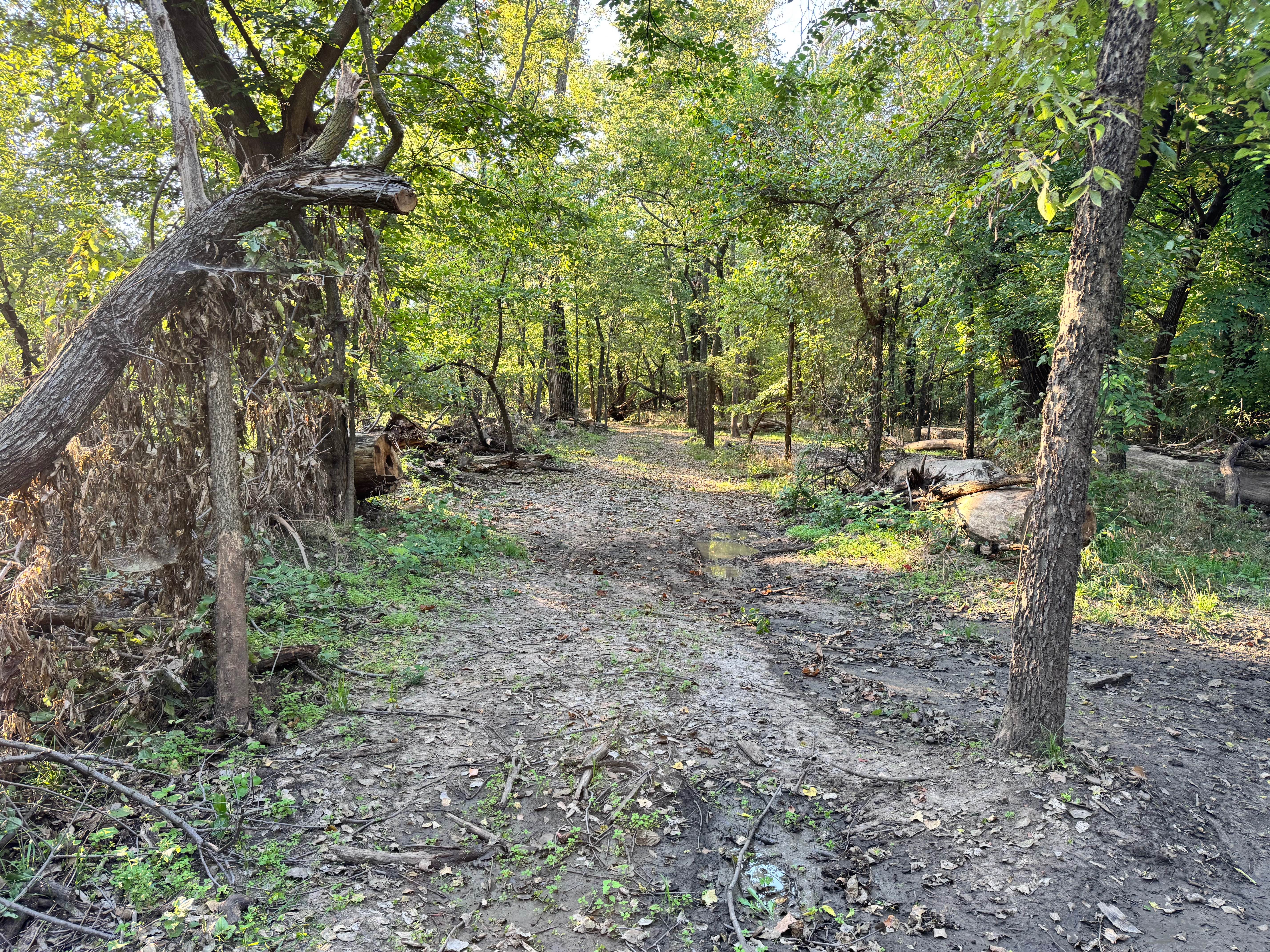
Trail Overview
This route follows a mostly well-maintained gravel surface, winding through a series of gentle twists and turns. Drivers should keep their speed down to account for occasional local traffic and the changing character of the road. Once you leave the lakeshore behind, the trail stretches into more open, rural terrain. There are no formal or dispersed campsites along this section, and basic amenities such as trash disposal and water supply are absent.
Photos of Kahola Road
Difficulty
The trail is well-maintained and routinely graded to support a range of local use, from daily agricultural traffic by farmers to occasional travelers and outdoor enthusiasts passing through the area. Its good condition makes it easily accessible and reliable for all types of vehicles.
History
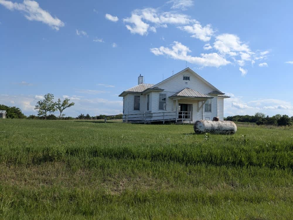
This route traces the historic heartland of the Flint Hills, a region that has remained largely untouched by modern agriculture due to its shallow, rocky soils--making it one of the last strongholds of North America's tallgrass prairie. The trail crosses land with deep cultural roots--from Native American hunting grounds to working cattle ranches. Expect long views over tallgrass prairie, passing ghost towns, century-old barns, and scenic byways that have carried generations of ranchers and travelers alike.
Status Reports
Kahola Road can be accessed by the following ride types:
- High-Clearance 4x4
- SUV
Kahola Road Map
Popular Trails
Lake Road West Fork
Brake Cleaner Bend

The Slab
The onX Offroad Difference
onX Offroad combines trail photos, descriptions, difficulty ratings, width restrictions, seasonality, and more in a user-friendly interface. Available on all devices, with offline access and full compatibility with CarPlay and Android Auto. Discover what you’re missing today!