Flatbed Flats
Total Miles
0.0
Technical Rating
Best Time
Spring, Summer, Fall
Trail Type
Full-Width Road
Accessible By
Trail Overview
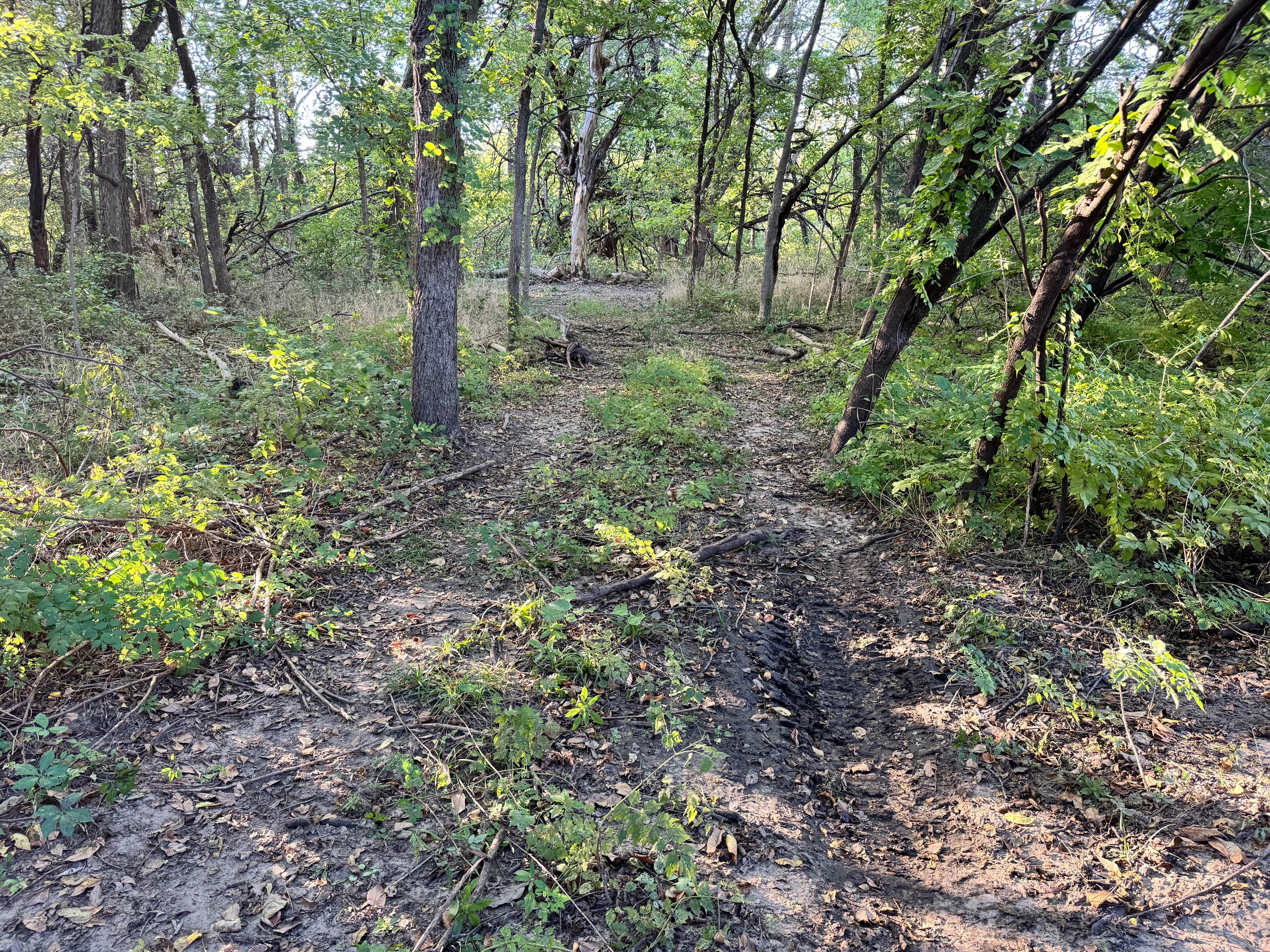
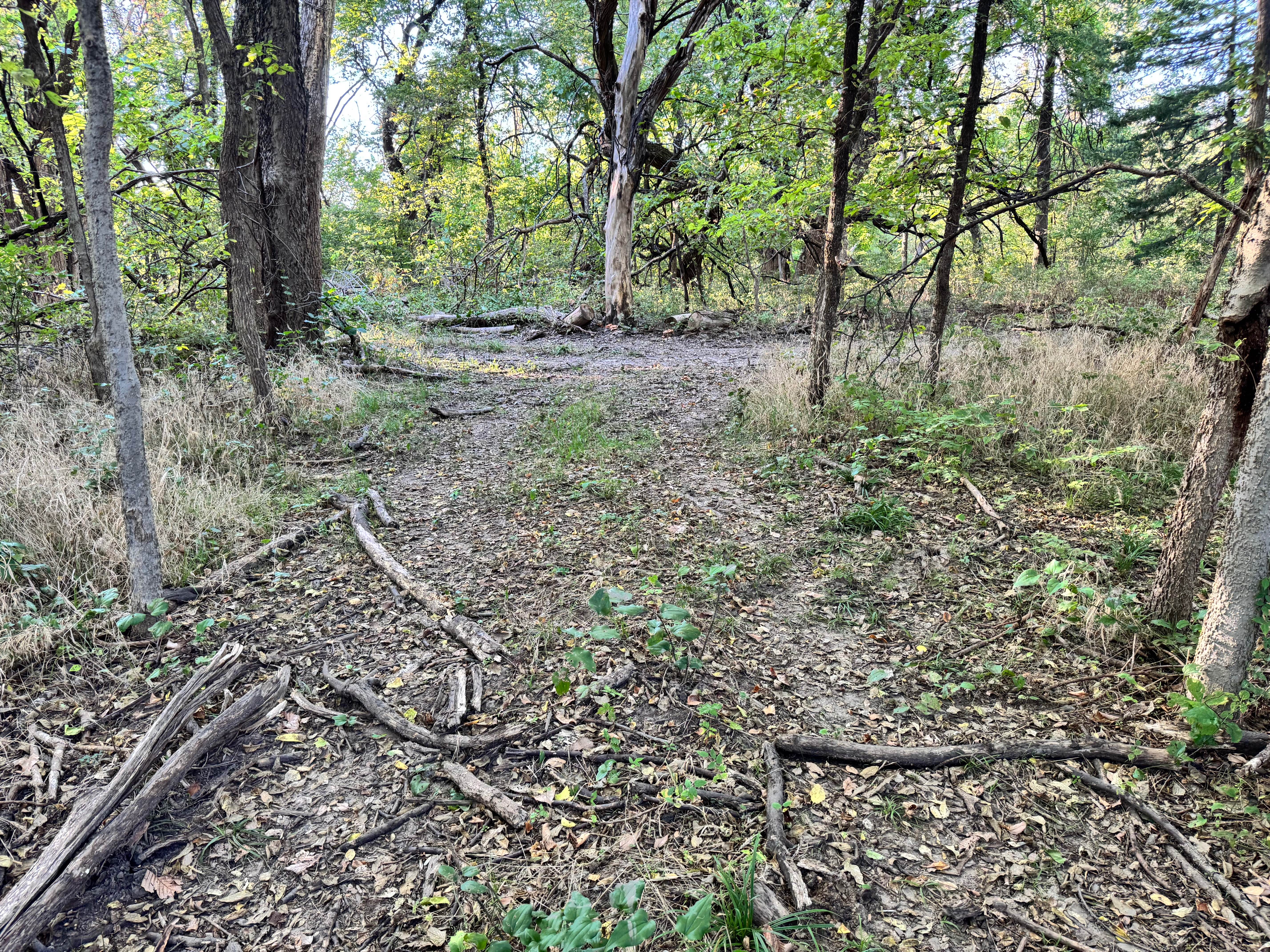
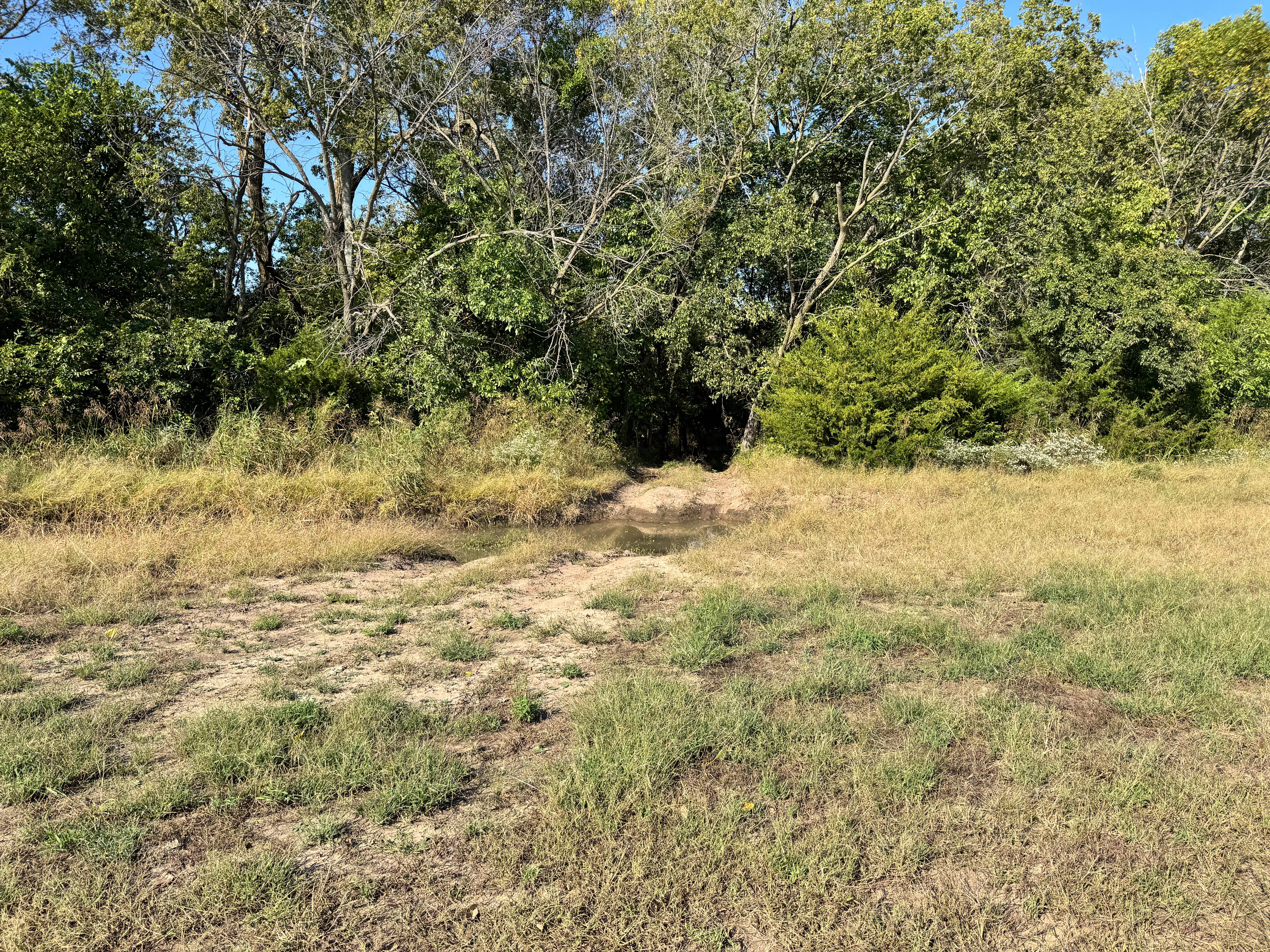
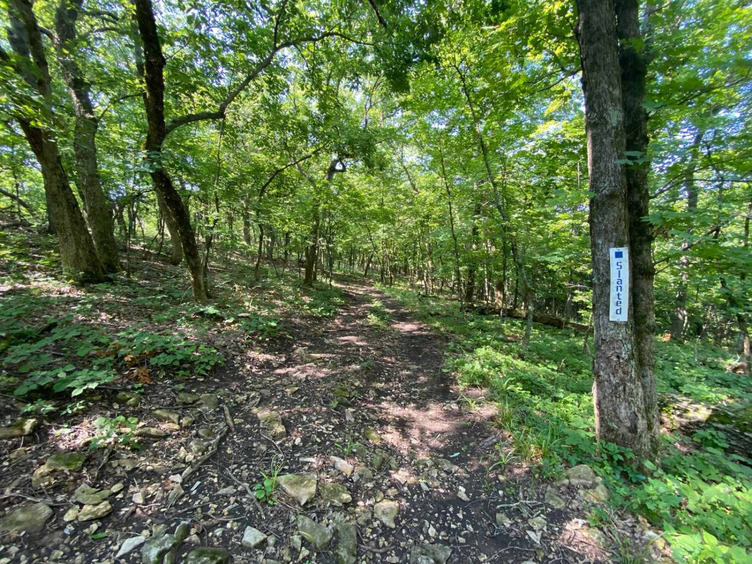
This trail winds through a wooded area and includes a few tight sections where trees and overhanging branches narrow the path, so careful driving is recommended. As shown in the photos, the route is primarily flat with a dirt surface, scattered branches, and mild ruts, but there are no significant obstacles or technical challenges. The occasional fallen limb or uneven ground may require slight maneuvering, yet any capable 4x4 should navigate it with ease. While the trail is simple overall, drivers should stay alert in the tighter spots to avoid brushing against tree trunks or low branches. Otherwise, it's a calm, scenic passage through the woods.
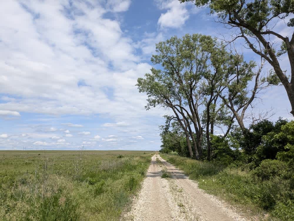
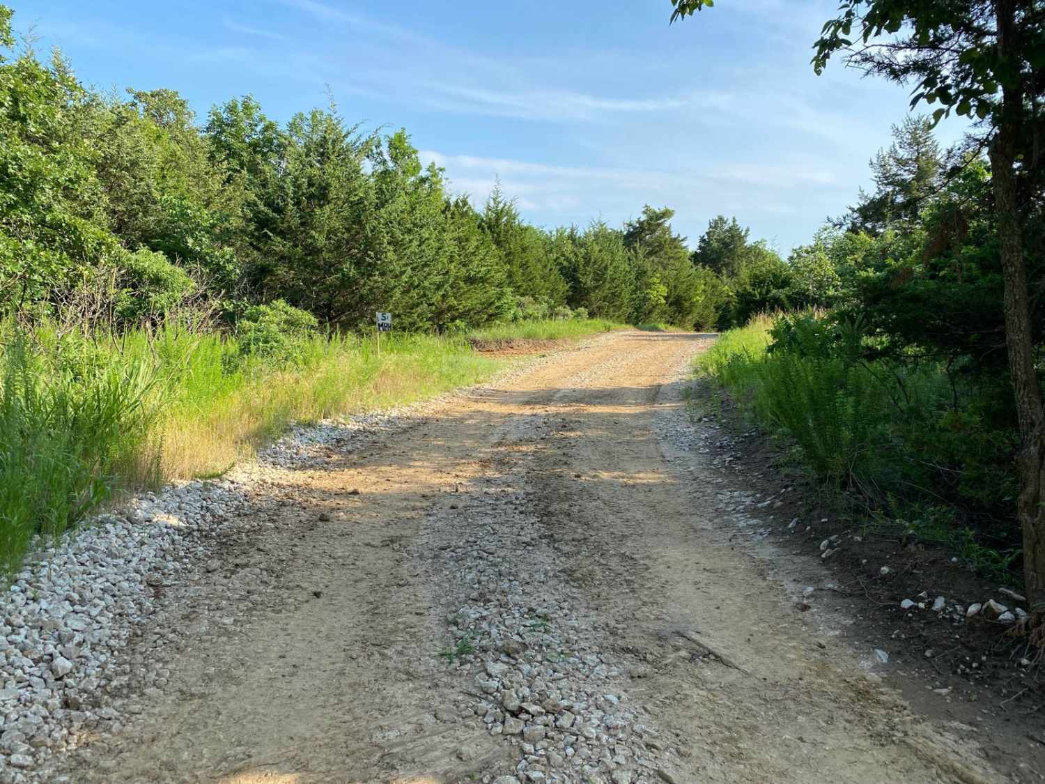
Photos of Flatbed Flats
Difficulty
This trail is very easy, with no major obstacles or technical features. The main challenge lies in a few narrow sections between trees, where drivers should use caution to avoid brushing against trunks or branches. The terrain is mostly flat dirt with minor ruts and scattered debris, making it suitable for nearly any 4x4 vehicle. There are no steep climbs, rocks, or deep mud to contend with.
History
This park was formerly known as Sandy Bottoms, and longtime visitors may still refer to it by that name. The access road and staging area have evolved over time, but it remains a well-known local spot for off-road events and community rides.
Status Reports
Flatbed Flats can be accessed by the following ride types:
- High-Clearance 4x4
- SUV
- SxS (60")
Flatbed Flats Map
Popular Trails
Southeast 70th
Burnout Boulevard
The onX Offroad Difference
onX Offroad combines trail photos, descriptions, difficulty ratings, width restrictions, seasonality, and more in a user-friendly interface. Available on all devices, with offline access and full compatibility with CarPlay and Android Auto. Discover what you’re missing today!