Coronado to Dodge City
Total Miles
2.4
Technical Rating
Best Time
Spring, Summer, Fall, Winter
Trail Type
Full-Width Road
Accessible By
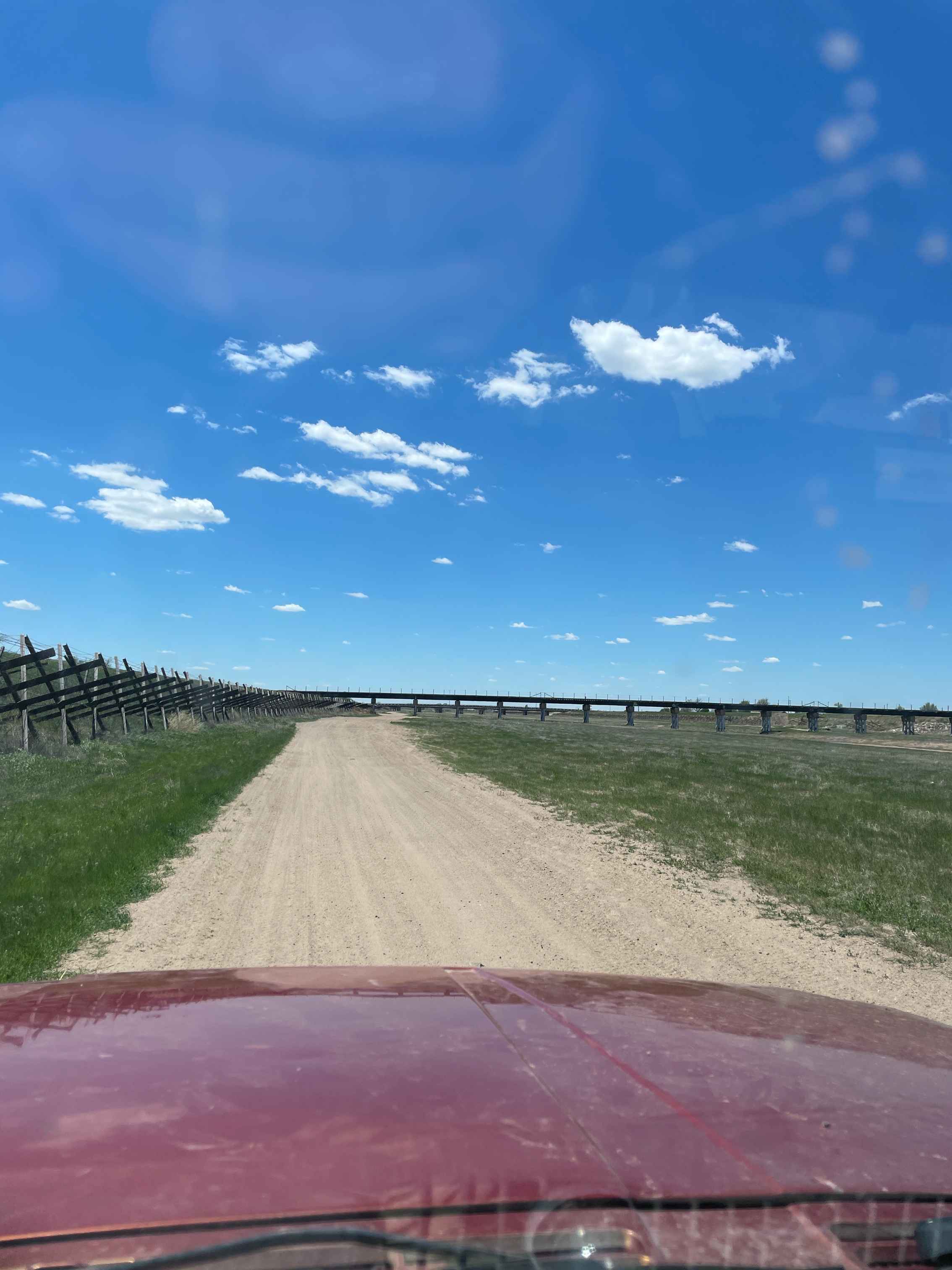
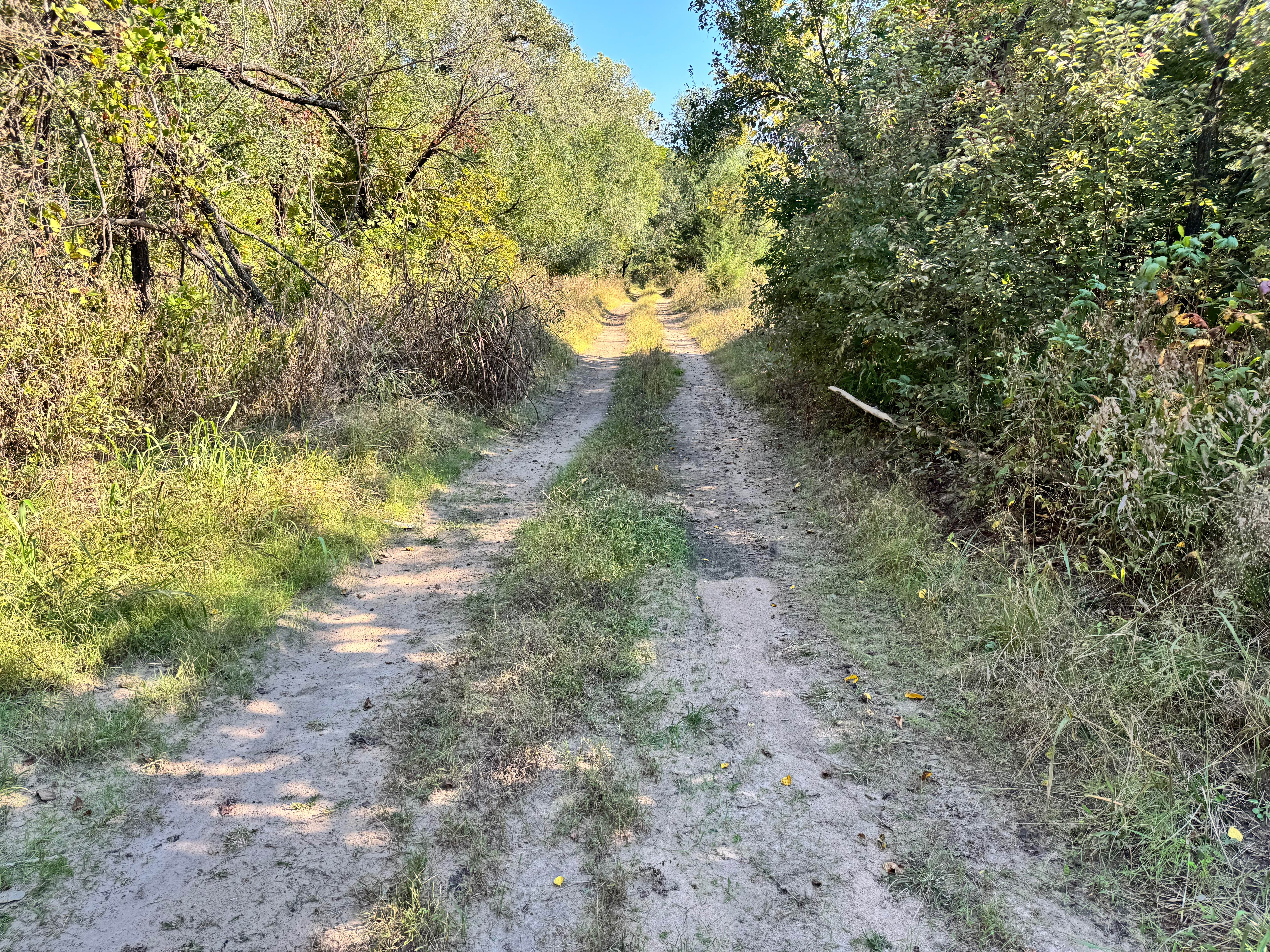
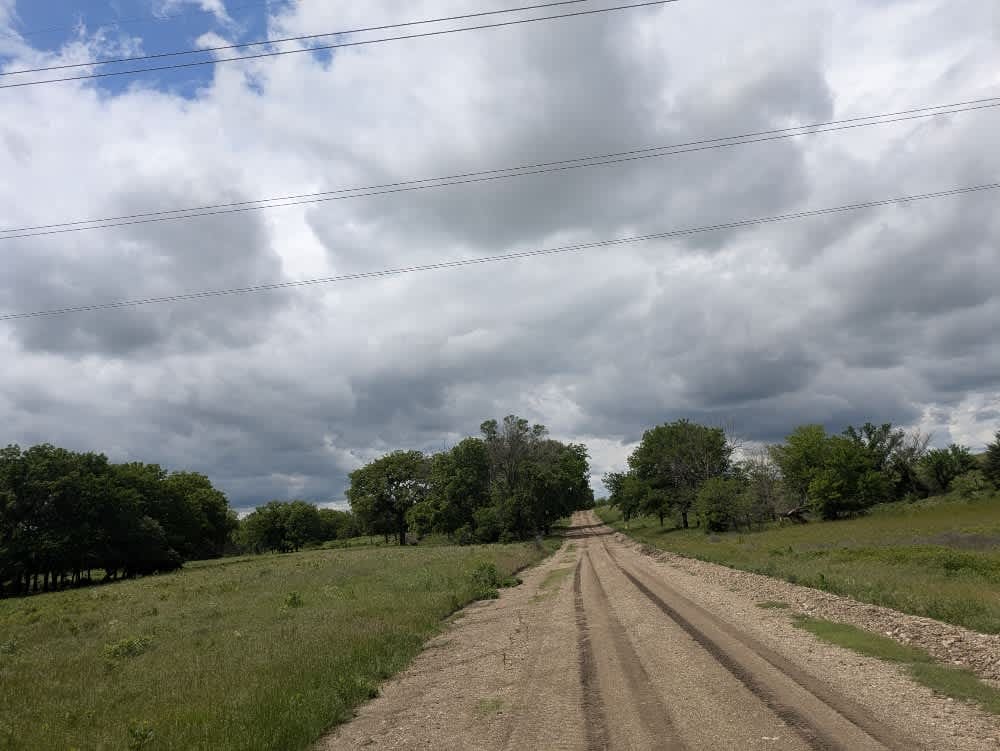
Trail Overview
This is a river bottom trail from Coronado Bridge to the west side of Dodge City. The trail mainly consists of thick river sand. The east side of the trail is within narrow trees and bushes but there is a north trail that stays out of them. At the west end of Dodge City there are some sand hills to climb.
Photos of Coronado to Dodge City

Difficulty
Easy trail through coarse sand
Status Reports
Coronado to Dodge City can be accessed by the following ride types:
- High-Clearance 4x4
- SUV
- SxS (60")
- ATV (50")
- Dirt Bike
Coronado to Dodge City Map
Popular Trails

Kathleen's Folly
Beater Boulevard

Buck Hill
Sharp Creek Road
The onX Offroad Difference
onX Offroad combines trail photos, descriptions, difficulty ratings, width restrictions, seasonality, and more in a user-friendly interface. Available on all devices, with offline access and full compatibility with CarPlay and Android Auto. Discover what you’re missing today!