Conestoga Loop
Total Miles
52.2
Technical Rating
Best Time
Summer, Fall, Spring, Winter
Trail Type
Full-Width Road
Accessible By
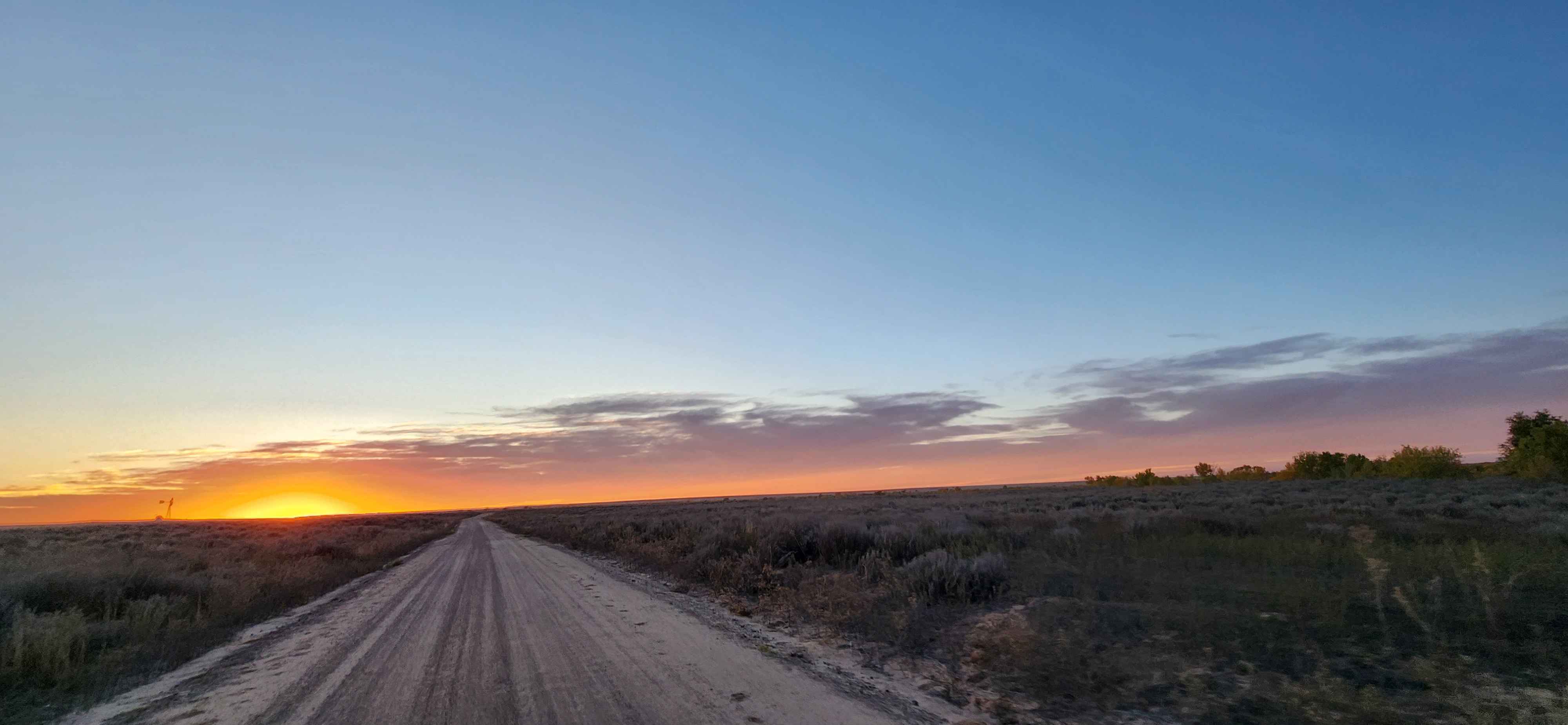
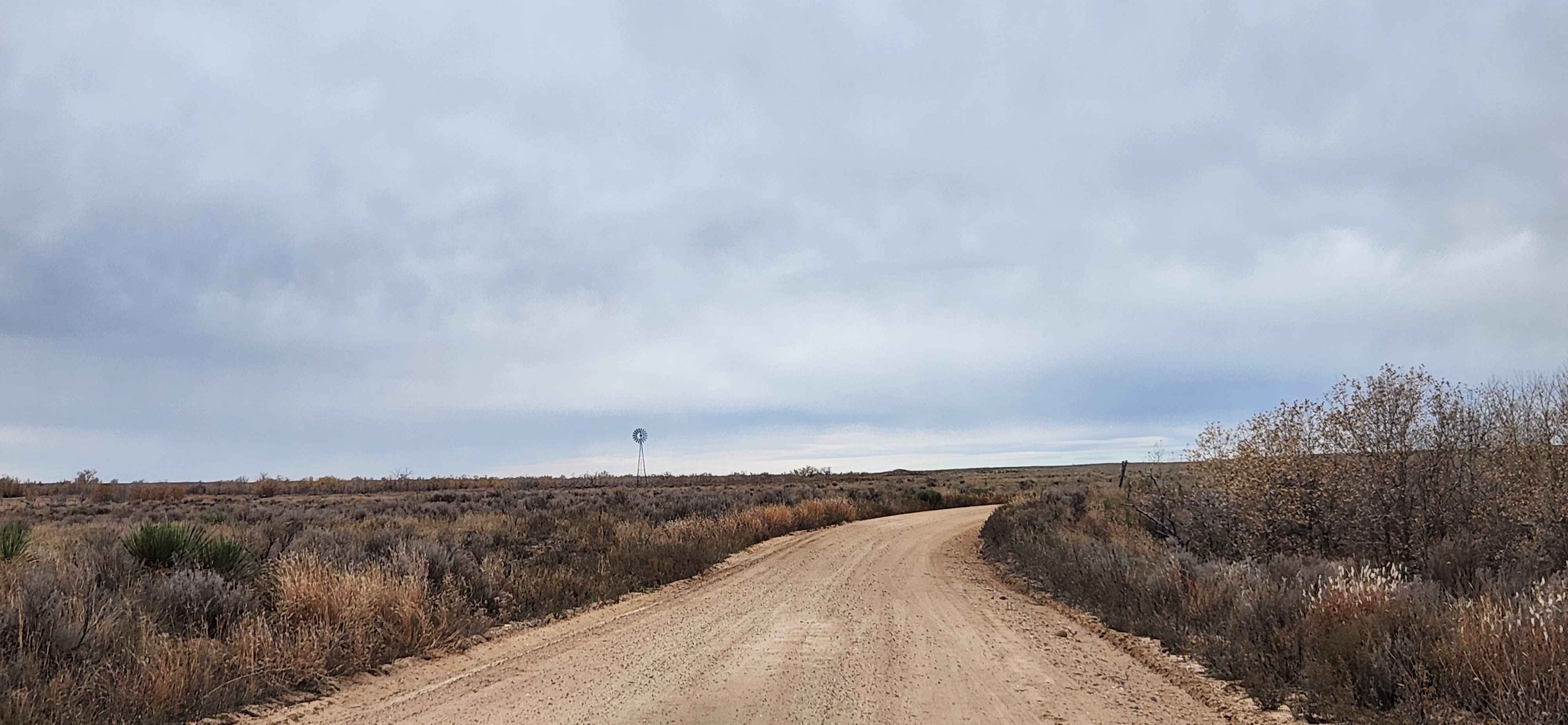
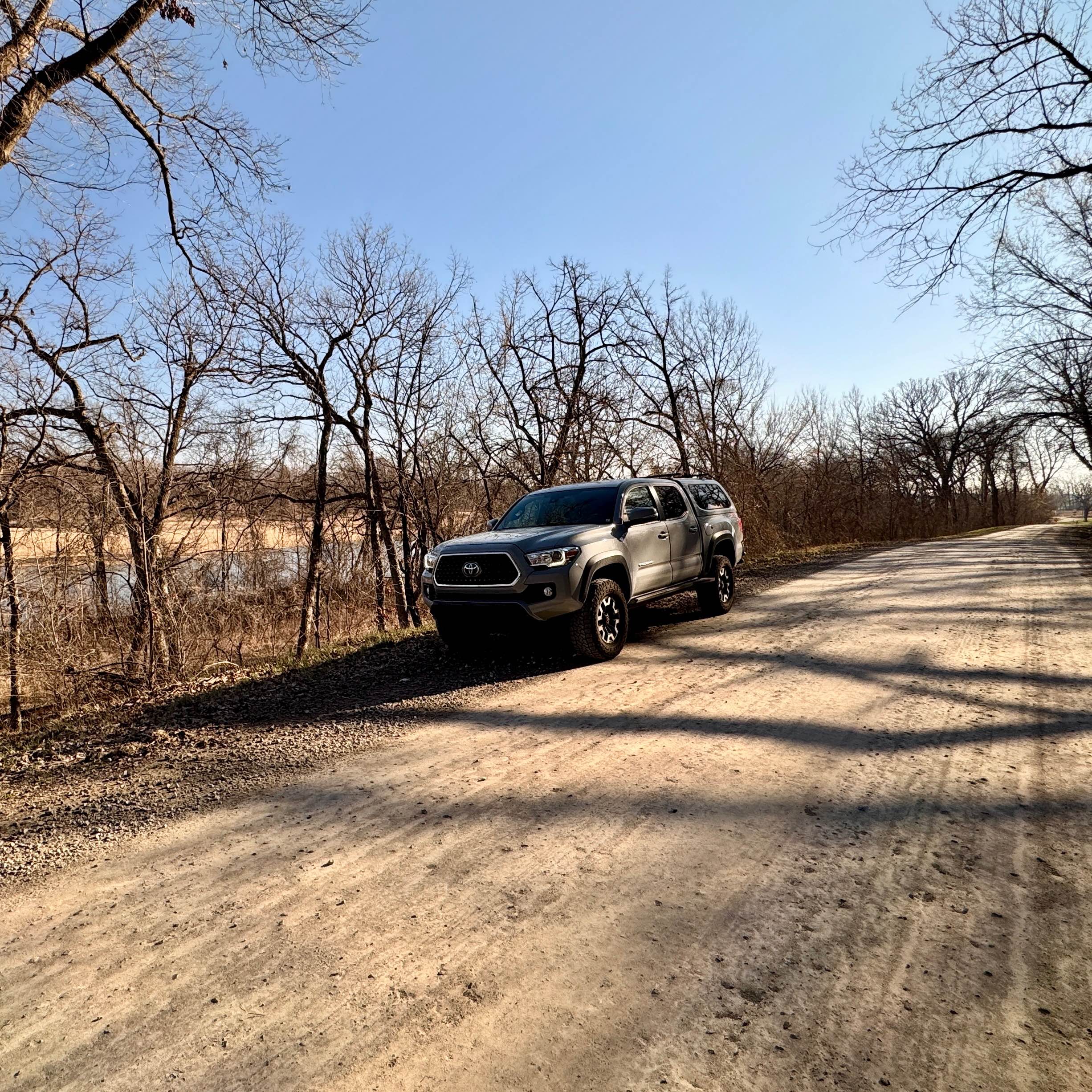
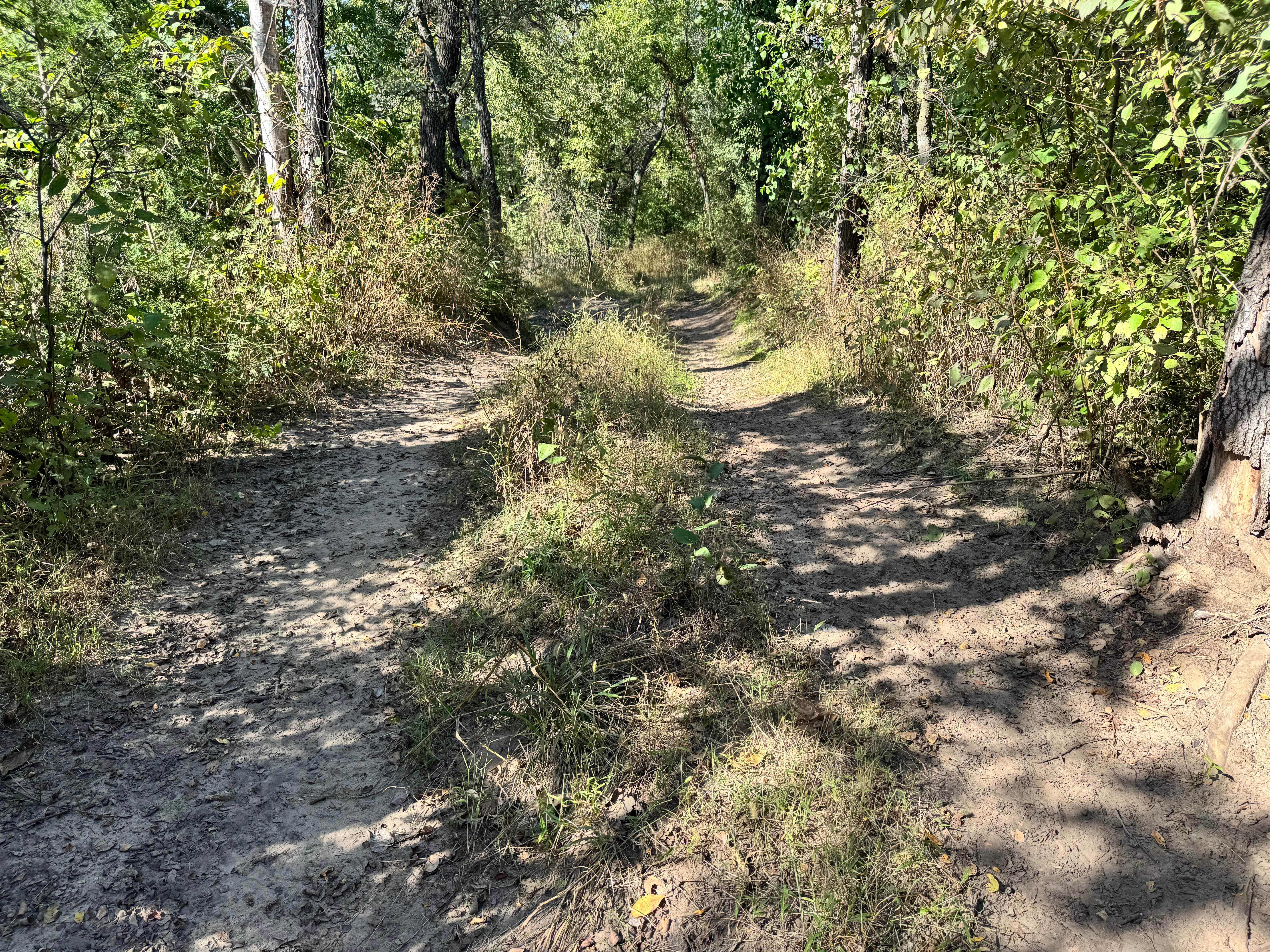
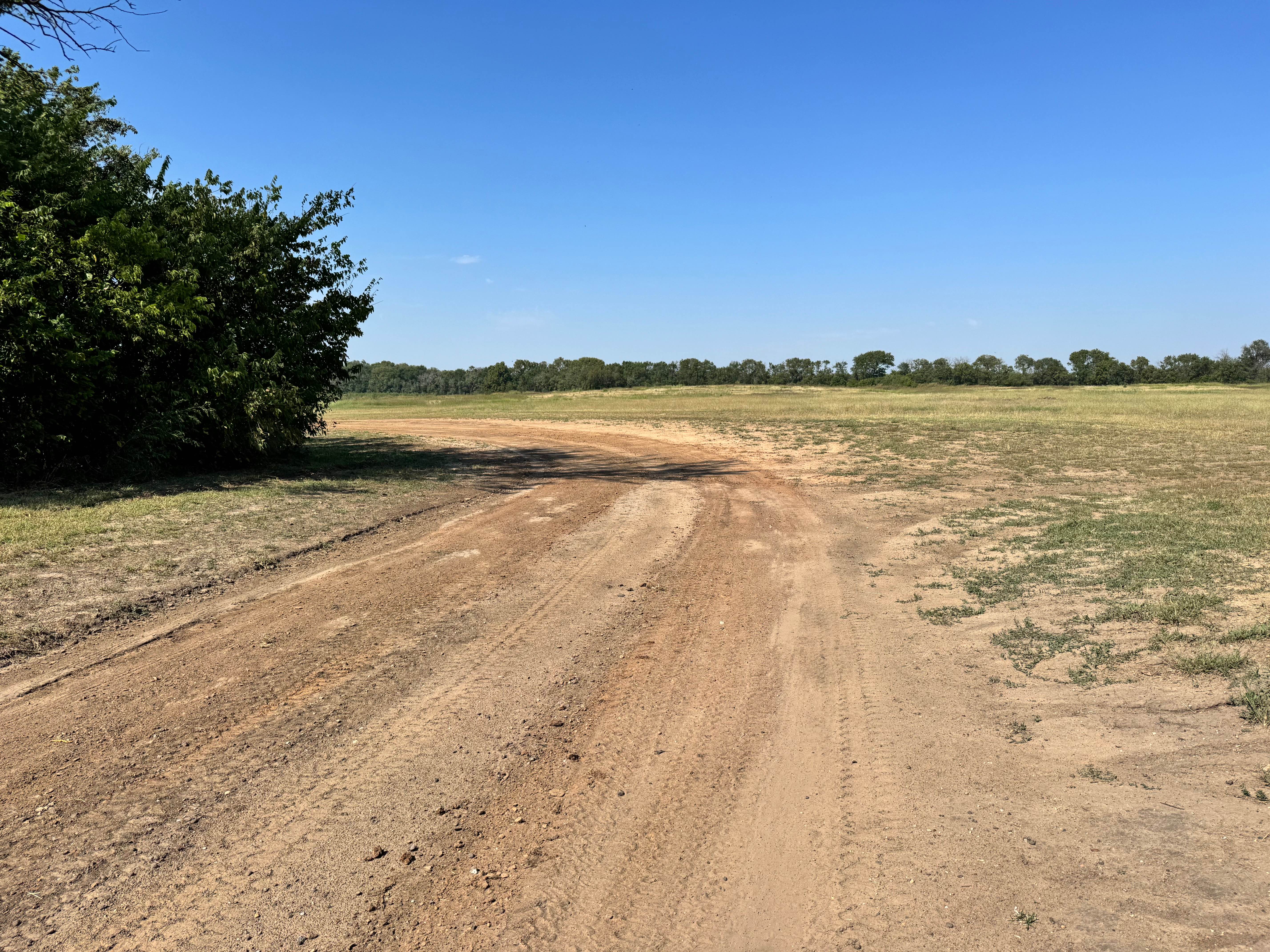
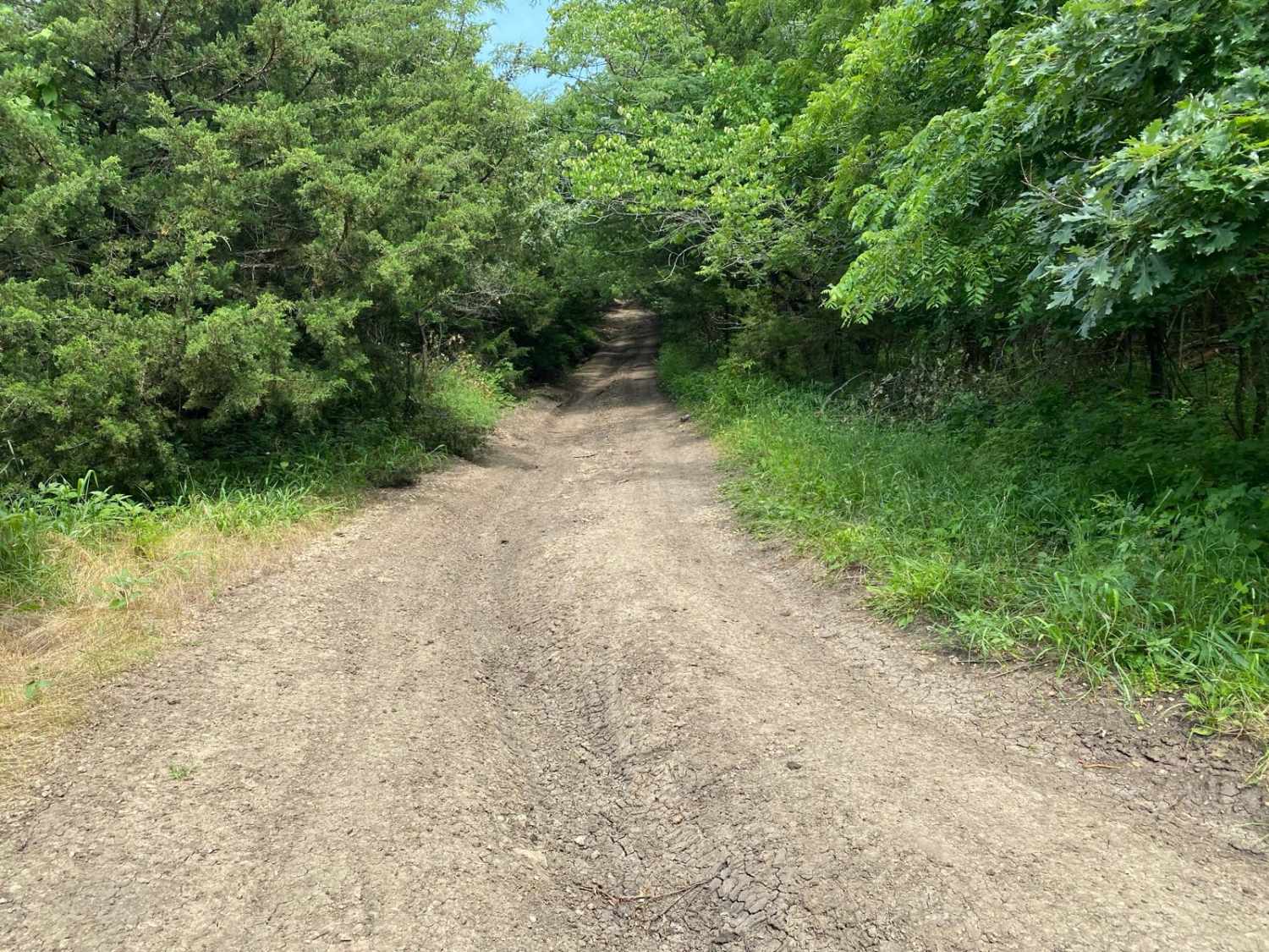
Trail Overview
This is a well-maintained gravel road. It is two vehicles wide in nearly all places. A two-wheel drive vehicle can traverse when dry. Cell service is spotty at best. The weather can change at a moment's notice, check forecasts, and be prepared. Although this is not technically a remote location, in the event of an emergency, there may not be any people around. I spent 3 days camping here and only ever saw one other human.
Photos of Conestoga Loop
Difficulty
Semi-remote gravel road. No obstacles to speak of.
History
The history here is one of the biggest draws. This trail passes within a few hundred yards of the trailhead for the Conestoga Route of the Old Santa Fe Trail, and follows parallel to the original trail for almost 30 miles. You can access Middle Spring, an oasis in the sea of grass used by Natives for thousands of years, and then more recently, by travelers on the Santa Fe Trail. Point of Rocks is also on this route; it is the 3rd highest point in the state of Kansas and overlooks the Cimarron River Valley.
Status Reports
Conestoga Loop can be accessed by the following ride types:
- High-Clearance 4x4
- SUV
Conestoga Loop Map
Popular Trails
Scenic River Road
Idle Hour Road
Takanoah's Hill
The onX Offroad Difference
onX Offroad combines trail photos, descriptions, difficulty ratings, width restrictions, seasonality, and more in a user-friendly interface. Available on all devices, with offline access and full compatibility with CarPlay and Android Auto. Discover what you’re missing today!