Bronco Bend
Total Miles
0.2
Technical Rating
Best Time
Spring, Summer, Fall
Trail Type
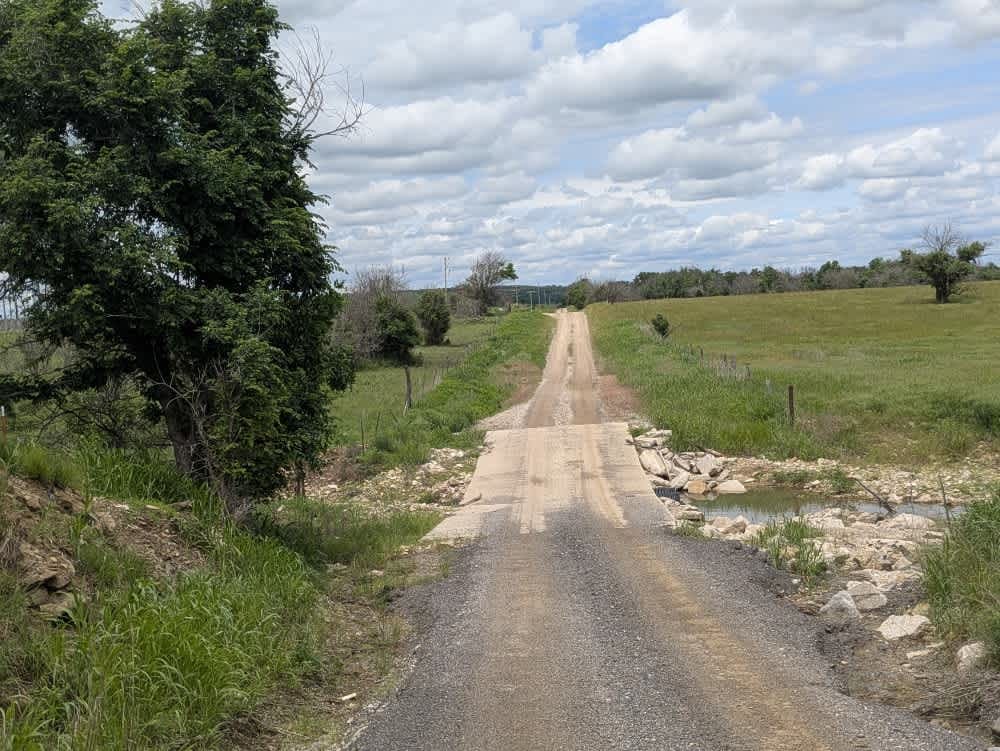
Full-Width Road
Accessible By
Trail Overview
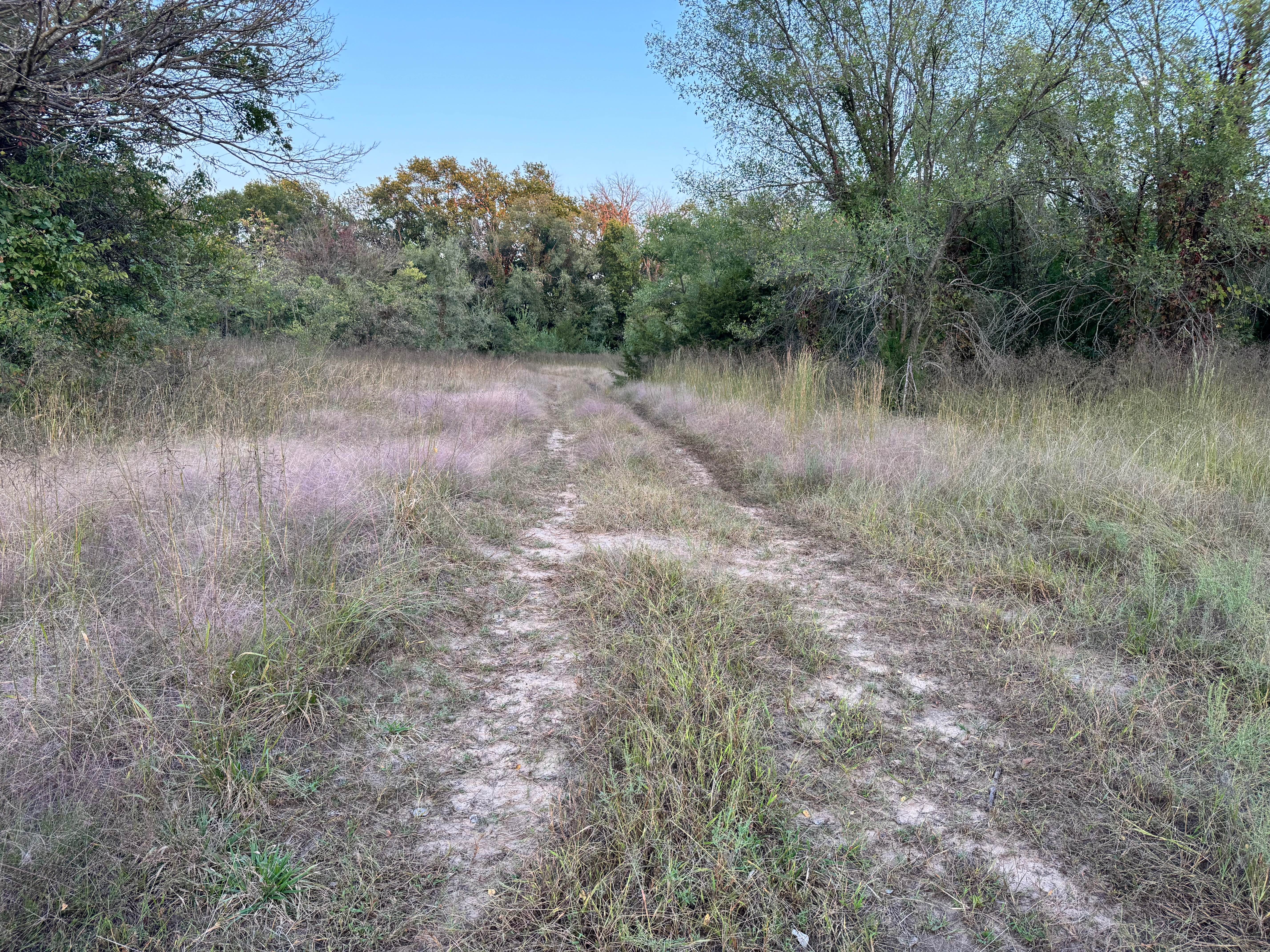
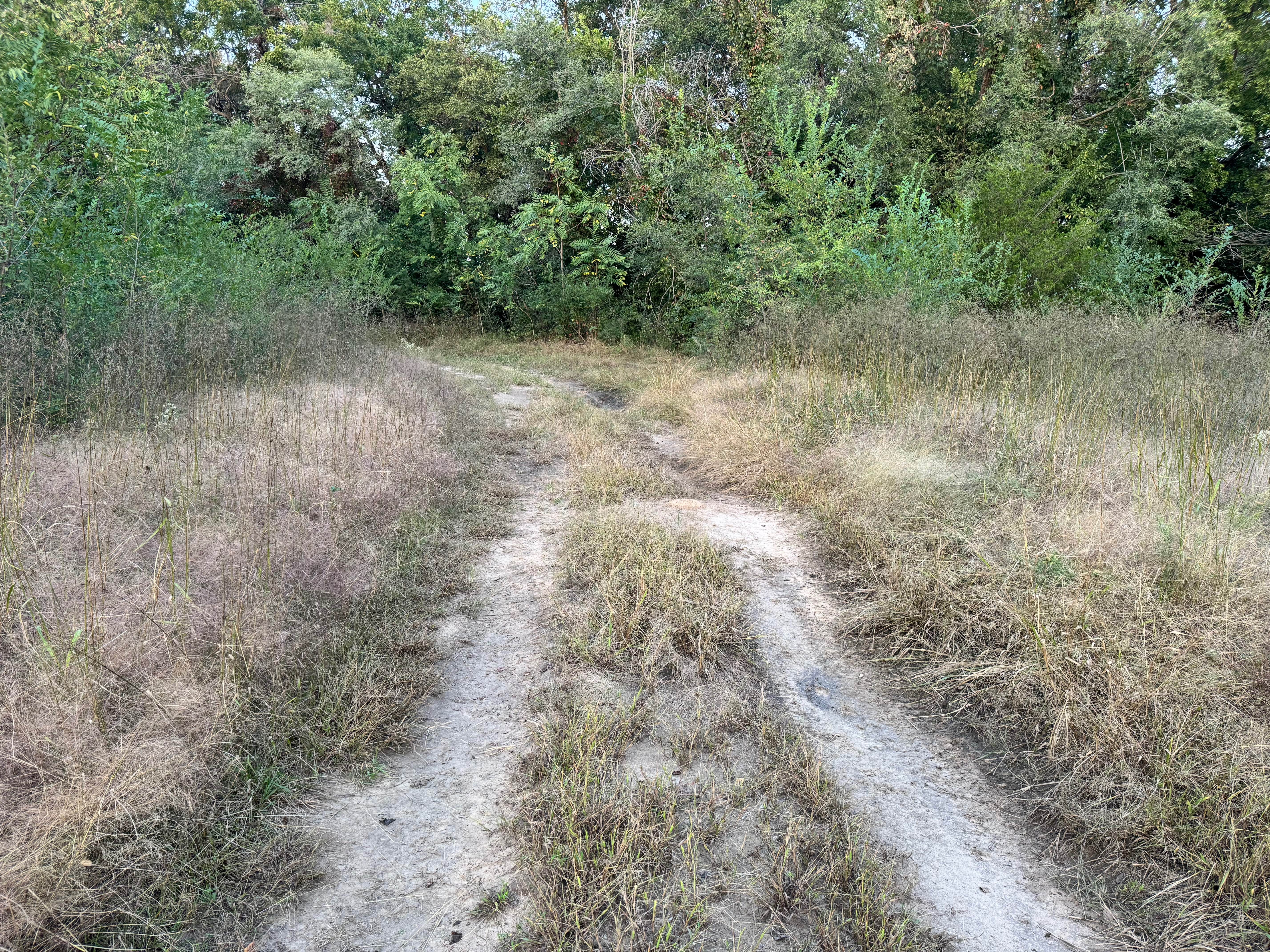
This trail begins in an open grassy clearing before transitioning into a wooded section, creating a peaceful mix of prairie and tree coverage. As you move deeper into the trees, the path narrows in a few spots, leading to sections where pinched or tight driving may be necessary, especially for wider vehicles. Despite the confined areas, the trail remains mostly mild and steady, with no major obstacles such as deep ruts, rocks, or steep climbs. The terrain is generally firm, with minimal elevation changes, making it suitable for beginner drivers or anyone seeking a relaxed scenic route. It serves well as a connector trail or a calm break between more challenging sections.
Photos of Bronco Bend
Difficulty
This trail is easy and beginner-friendly, with no major obstacles or technical challenges. The only minor concern is a few tight, pinched sections between trees where wider vehicles may need to take it slow. Overall, it's a smooth, scenic route through grass and woods, suitable for stock 4x4s.
History
This park was formerly known as Sandy Bottoms, and longtime visitors may still refer to it by that name. The access road and staging area have evolved over time, but it remains a well-known local spot for off-road events and community rides.
Status Reports
Bronco Bend can be accessed by the following ride types:
- High-Clearance 4x4
- SUV
- SxS (60")
Bronco Bend Map
Popular Trails

Buckin Chute

Window Wipeout

Chevy Levy
The onX Offroad Difference
onX Offroad combines trail photos, descriptions, difficulty ratings, width restrictions, seasonality, and more in a user-friendly interface. Available on all devices, with offline access and full compatibility with CarPlay and Android Auto. Discover what you’re missing today!