Big Blue River Route
Total Miles
35.2
Technical Rating
Best Time
Spring, Summer, Fall
Trail Type
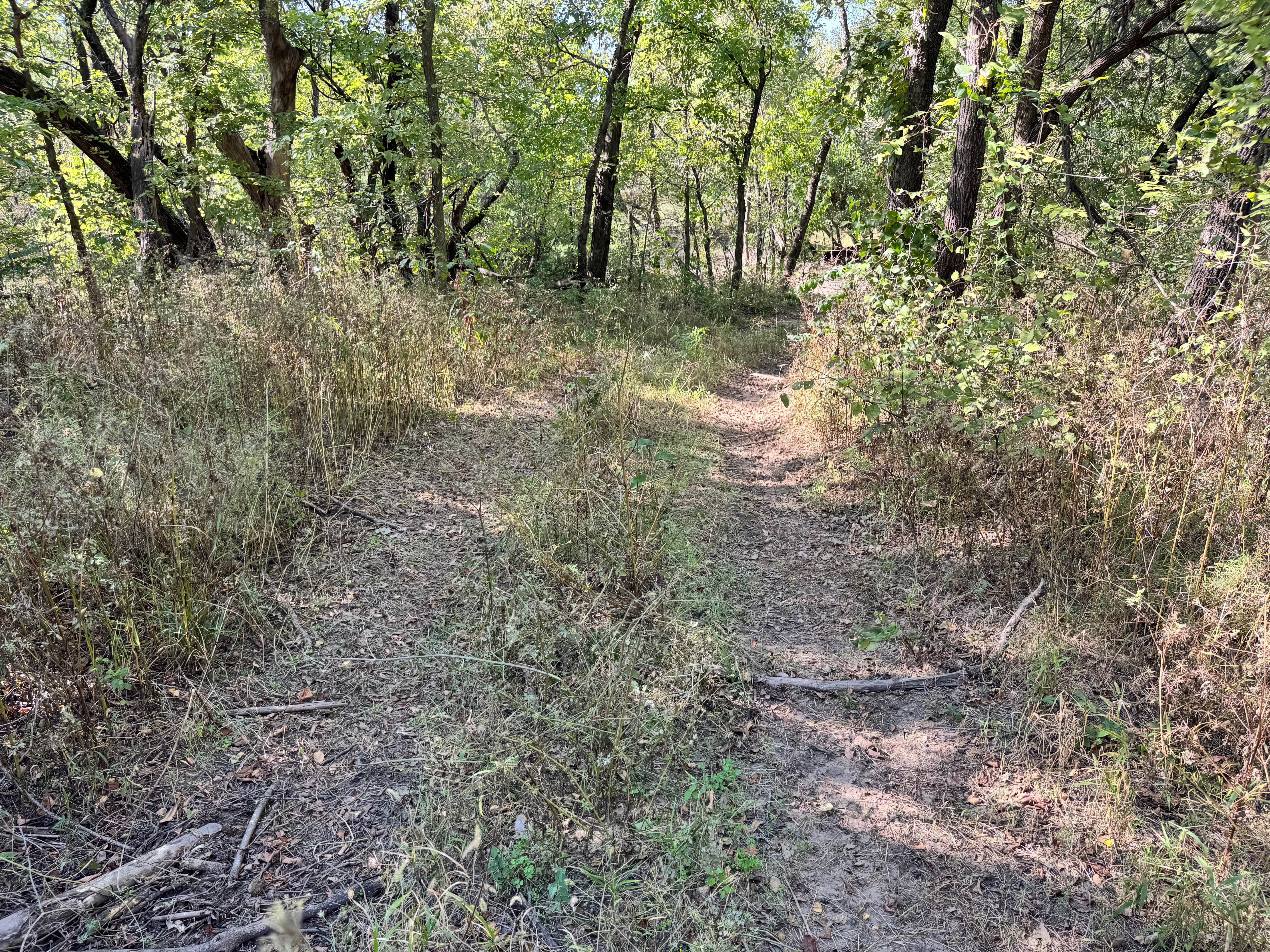
Full-Width Road
Accessible By
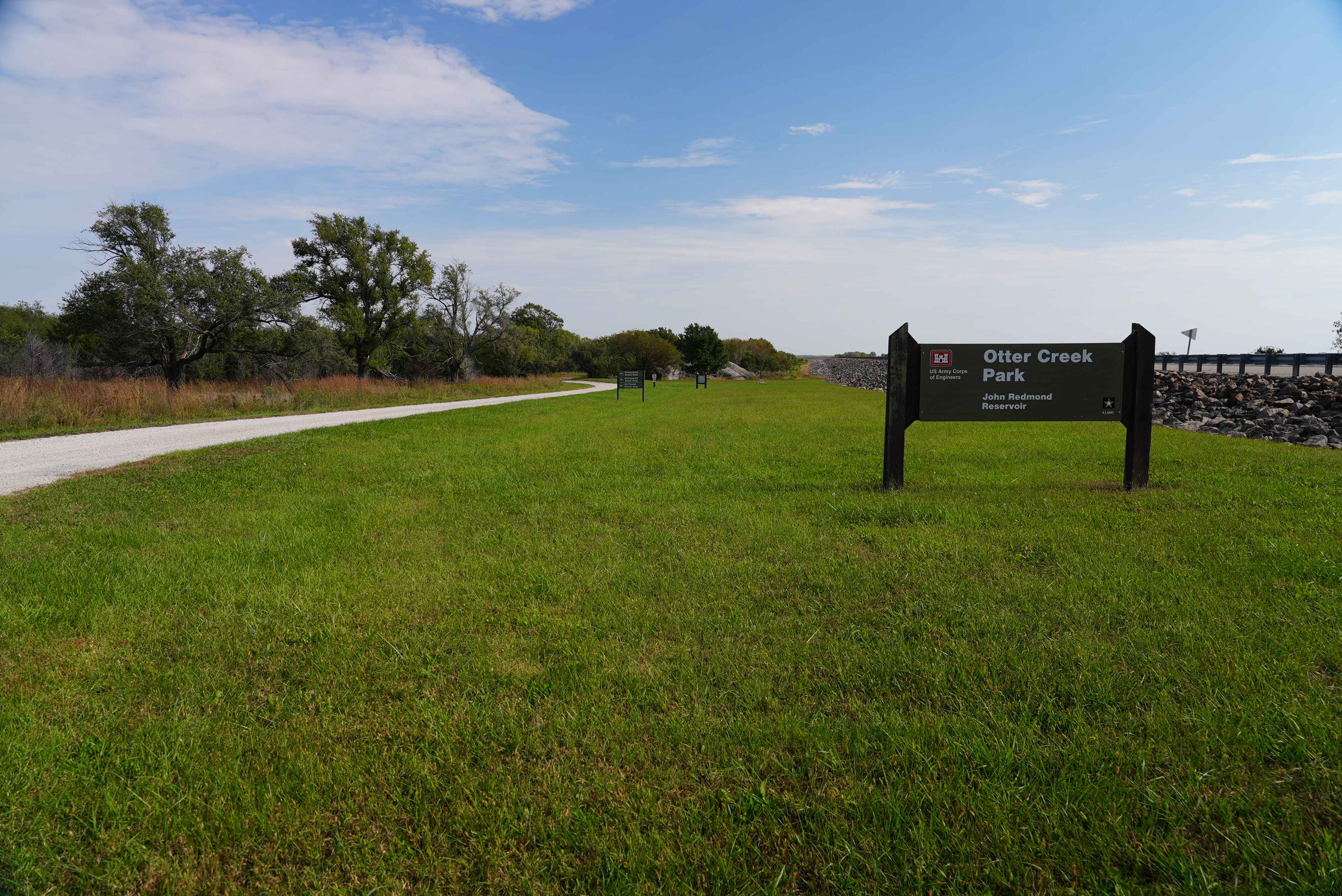
Trail Overview
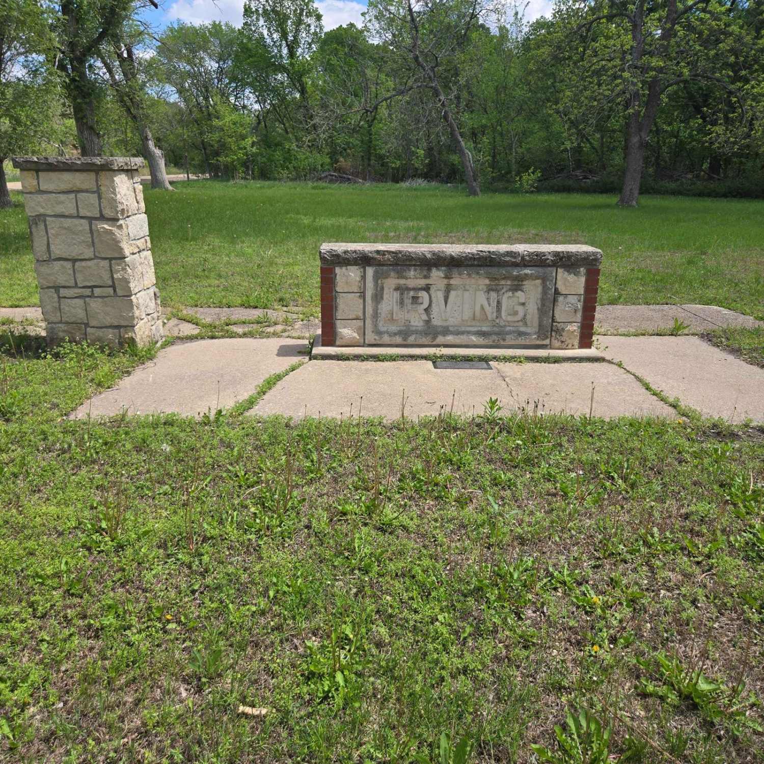
This trail follows along the historic Big Blue River to where it will meet with Tuttle Creek Lake. Along this route, you will find old ghost towns of Irving and Cleburne, a natural spring (which, yes, is safe to drink from), great views, and, of course, some wildlife. There are plenty of stopping points along the river to see great views or even try your luck at some fishing.
Photos of Big Blue River Route
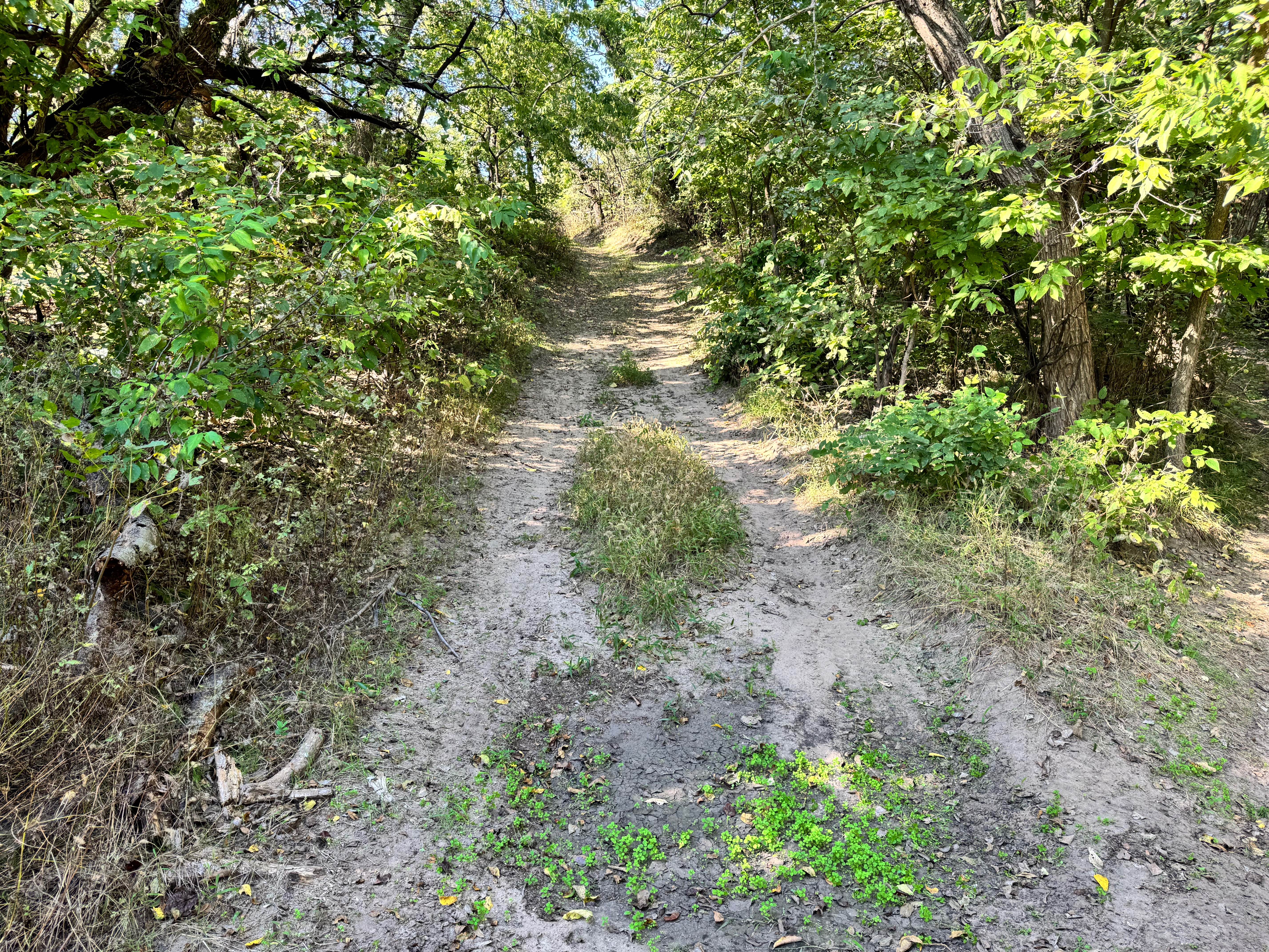
Difficulty
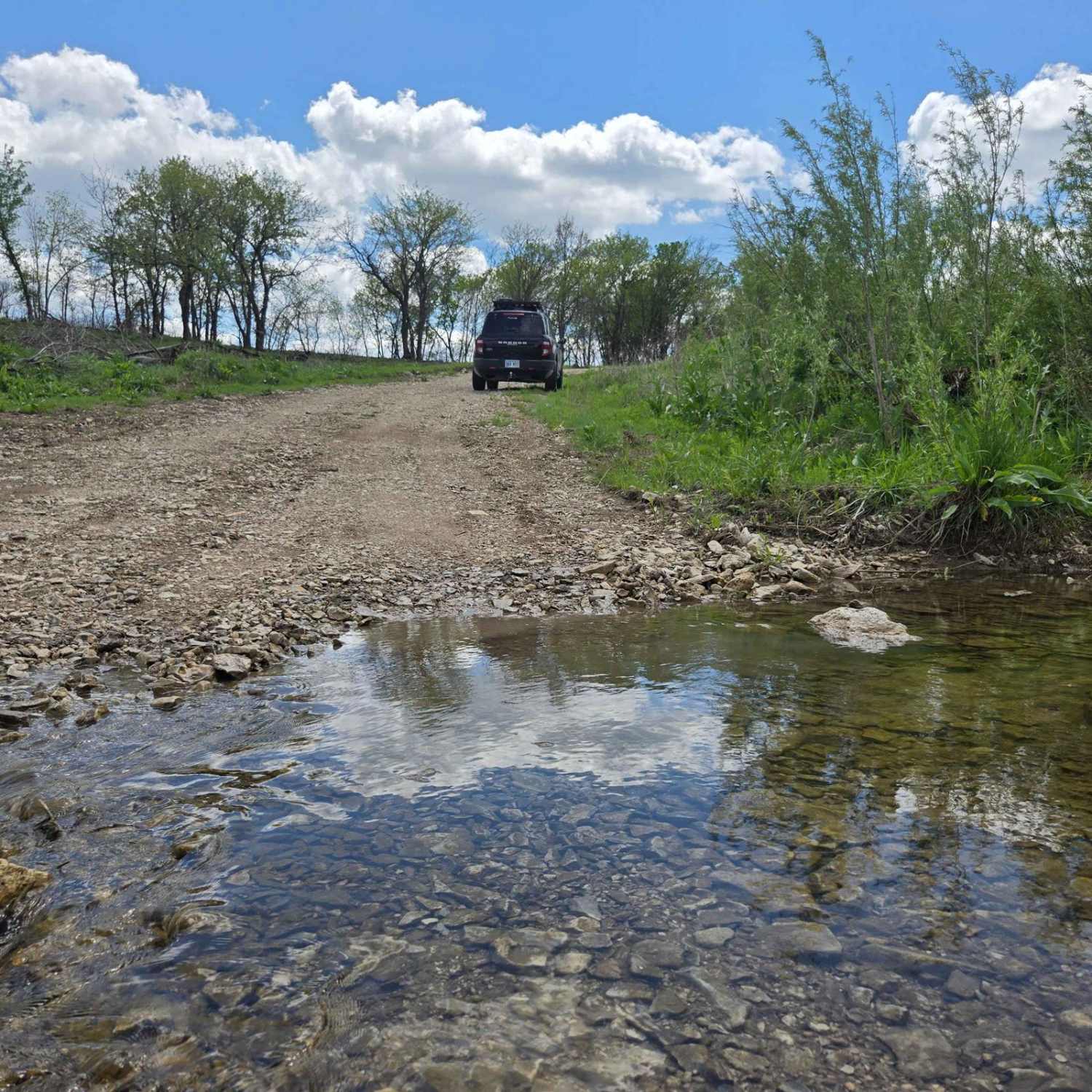
This is primarily gravel roads, with some below low-maintenance, water crossing, and some washout areas as well. Please keep the weather in mind, especially rain or snow.
Status Reports
Big Blue River Route can be accessed by the following ride types:
- High-Clearance 4x4
- SUV
- SxS (60")
- ATV (50")
- Dirt Bike
Big Blue River Route Map
Popular Trails
Gearhead Grove
Intercooler Junction
The onX Offroad Difference
onX Offroad combines trail photos, descriptions, difficulty ratings, width restrictions, seasonality, and more in a user-friendly interface. Available on all devices, with offline access and full compatibility with CarPlay and Android Auto. Discover what you’re missing today!