20th Road
Total Miles
7.0
Technical Rating
Best Time
Spring, Summer, Fall, Winter
Trail Type
Full-Width Road
Accessible By
Trail Overview
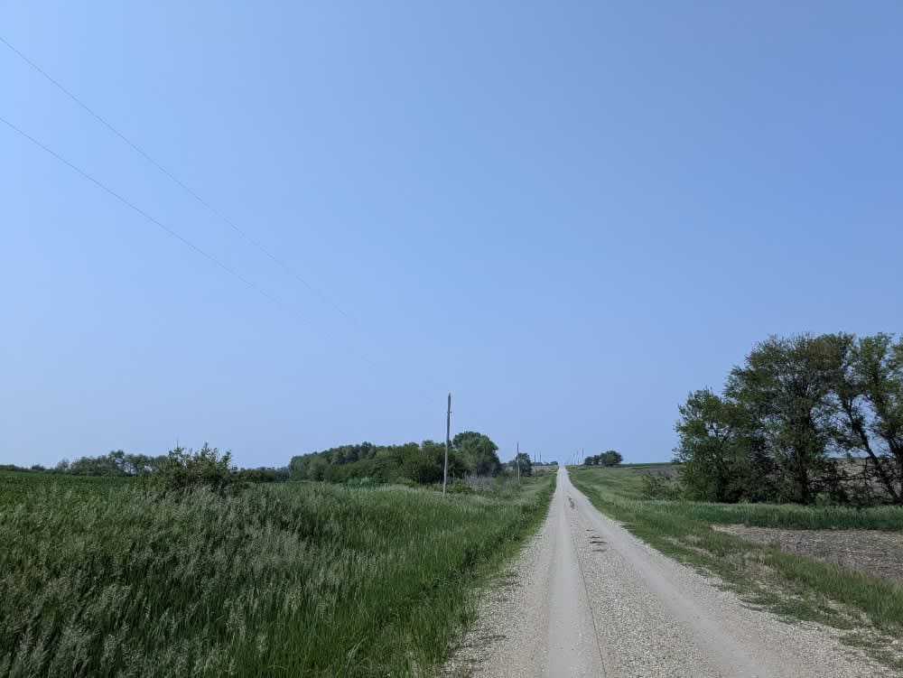
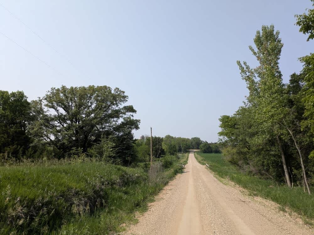
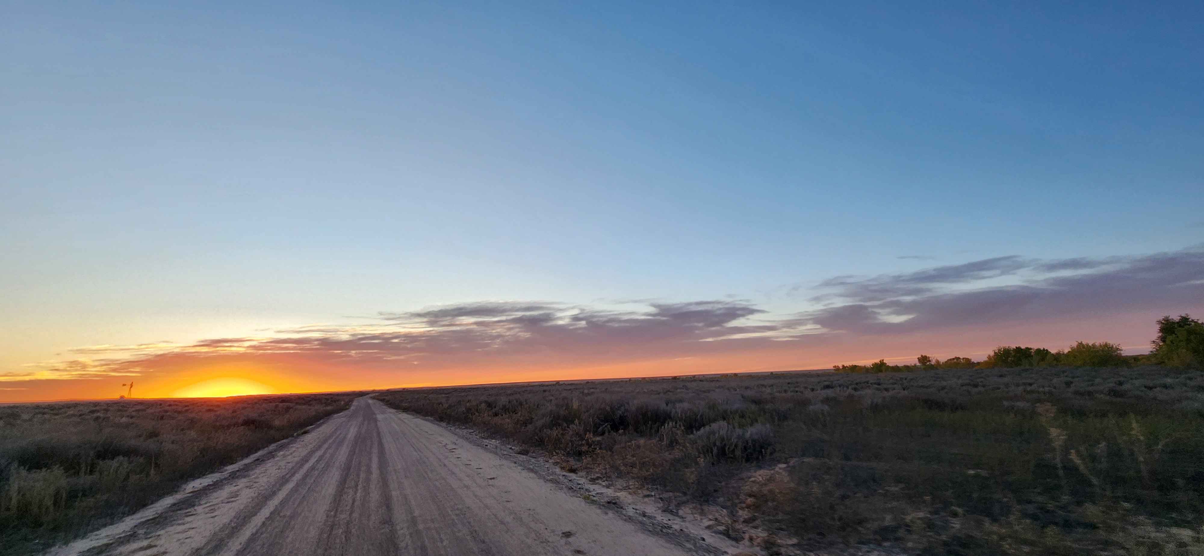
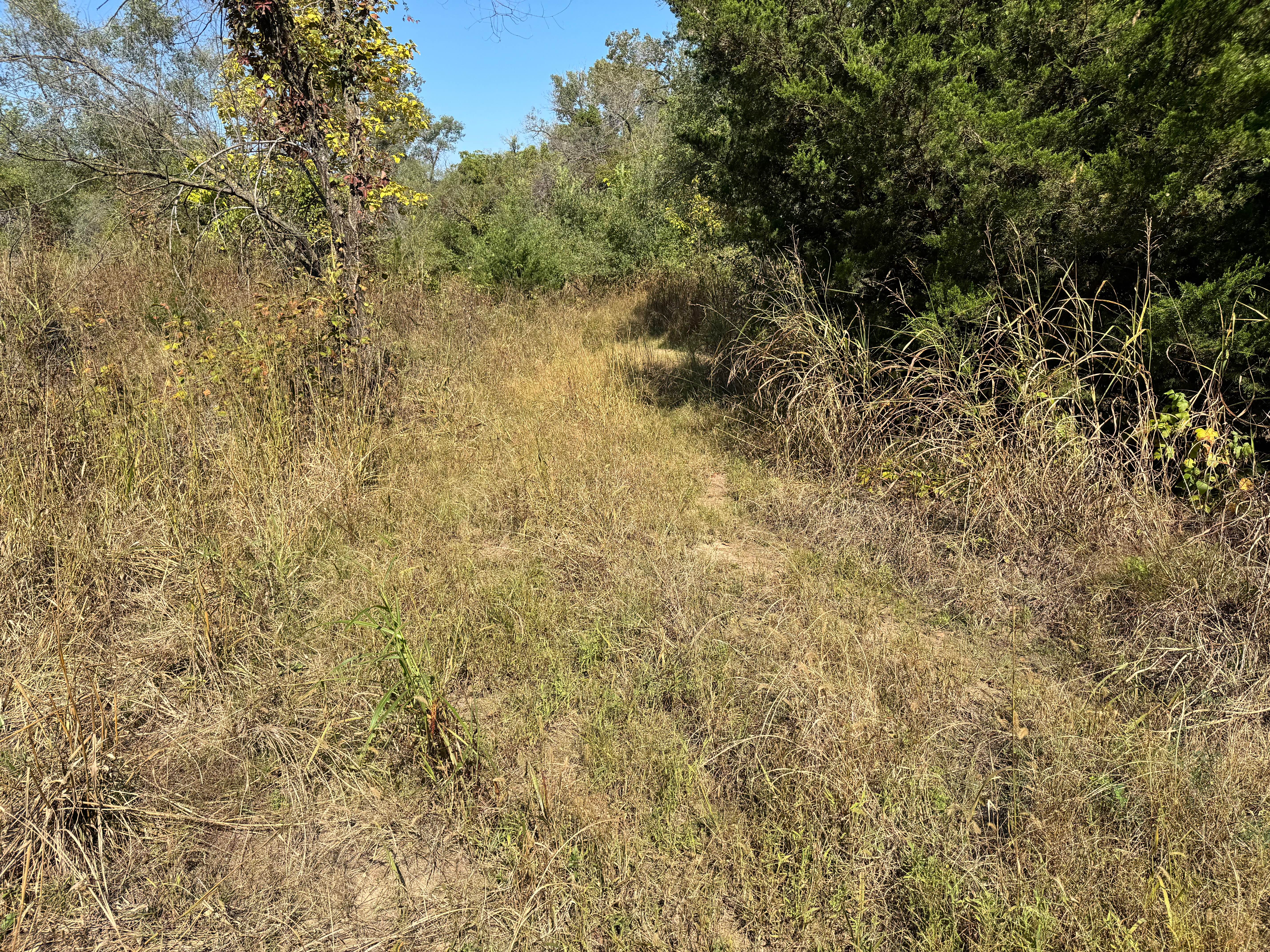
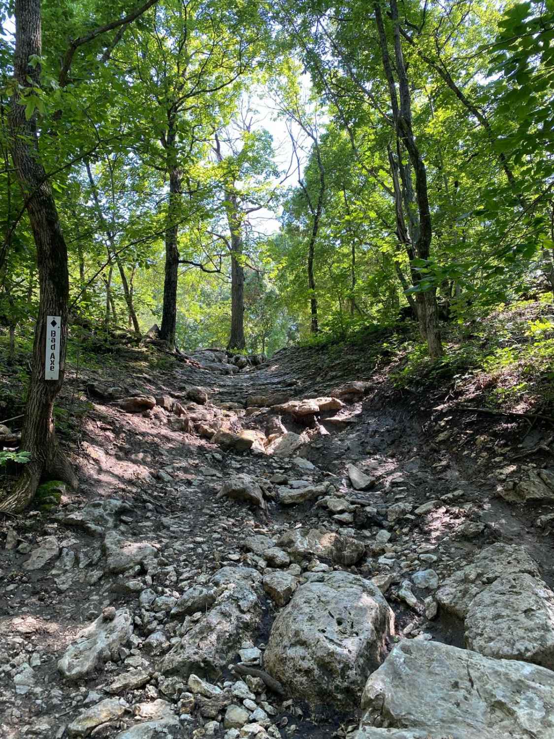
The trail runs mostly straight, intersecting with other grid-pattern tracks and passing by an idyllic farmhouse. It begins with a slightly rough surface and no trees, but gradually smooths out as you continue, and ends in a small forest. Eventually, the path leads to the trail that marks the Nebraska-Kansas state line. There are no formal or dispersed campsites available along this route, and amenities such as trash disposal and water supply are not provided. Cell service is limited, so consult your onX app for coverage information.
Photos of 20th Road
Difficulty
The trail is well-maintained and routinely graded to support a range of local use, from daily agricultural traffic by farmers to occasional travelers and outdoor enthusiasts passing through the area. Its good condition makes it easily accessible and reliable for all types of vehicles.
History
The Gravel Line follows a scenic stretch of Nebraska's rural past, from Kansas to Nebraska, entirely on gravel. These quiet backroads once linked farms, rail towns, and prairie homesteads--routes shaped by everyday life on the Plains. Today, the trail invites travelers to slow down and experience the landscape much as early settlers and locals once did. It's a peaceful drive through rolling hills, open skies, and the quiet history woven into Nebraska's countryside.
Status Reports
20th Road can be accessed by the following ride types:
- High-Clearance 4x4
- SUV
20th Road Map
Popular Trails
Conestoga Loop

Jared's Junk
Tire Shine Pass
The onX Offroad Difference
onX Offroad combines trail photos, descriptions, difficulty ratings, width restrictions, seasonality, and more in a user-friendly interface. Available on all devices, with offline access and full compatibility with CarPlay and Android Auto. Discover what you’re missing today!