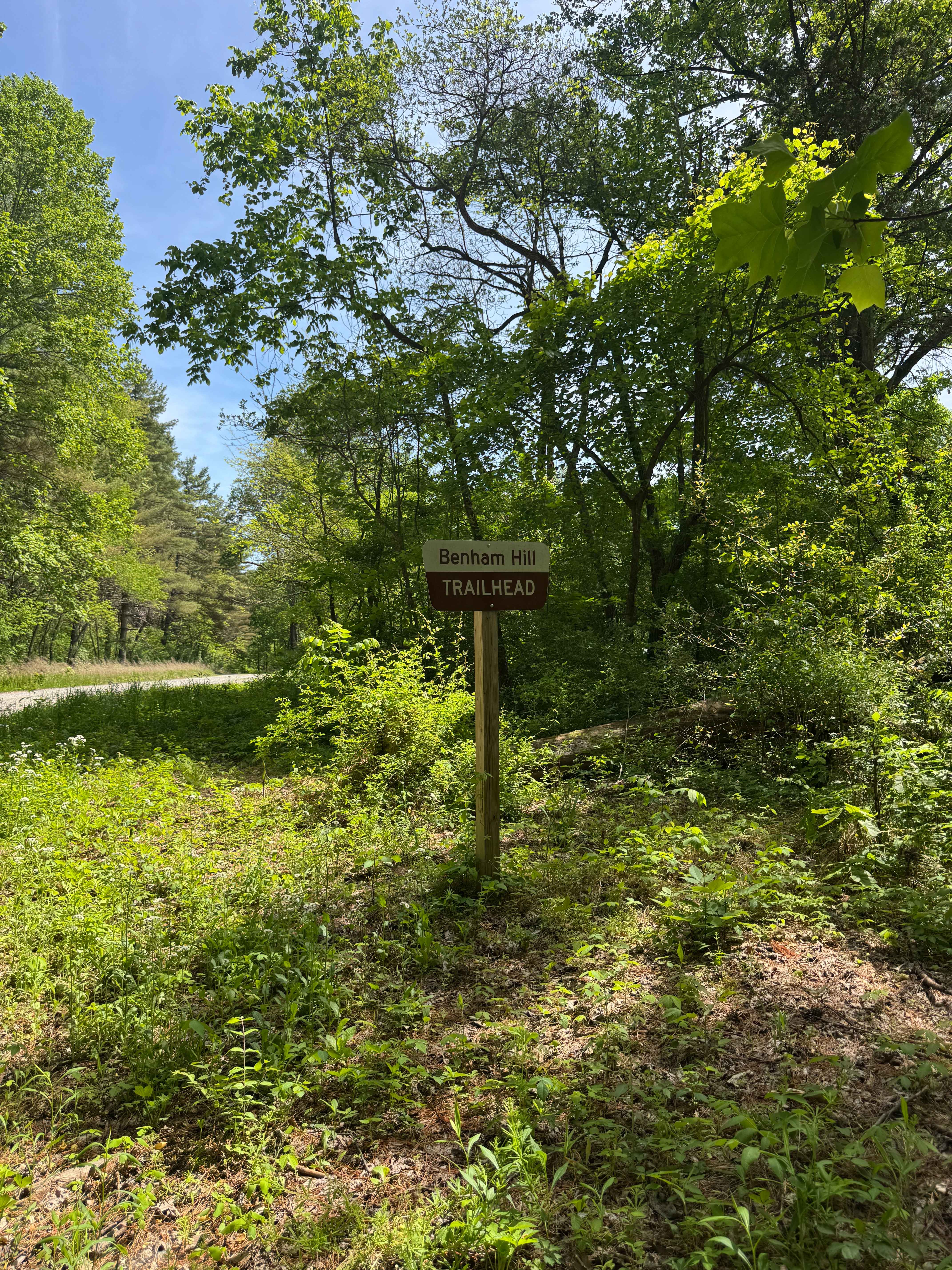
Benham Hill Trail
Total Miles
3.7
Technical Rating
Best Time
Spring, Summer, Fall
Trail Type
Full-Width Road
Accessible By
Trail Overview
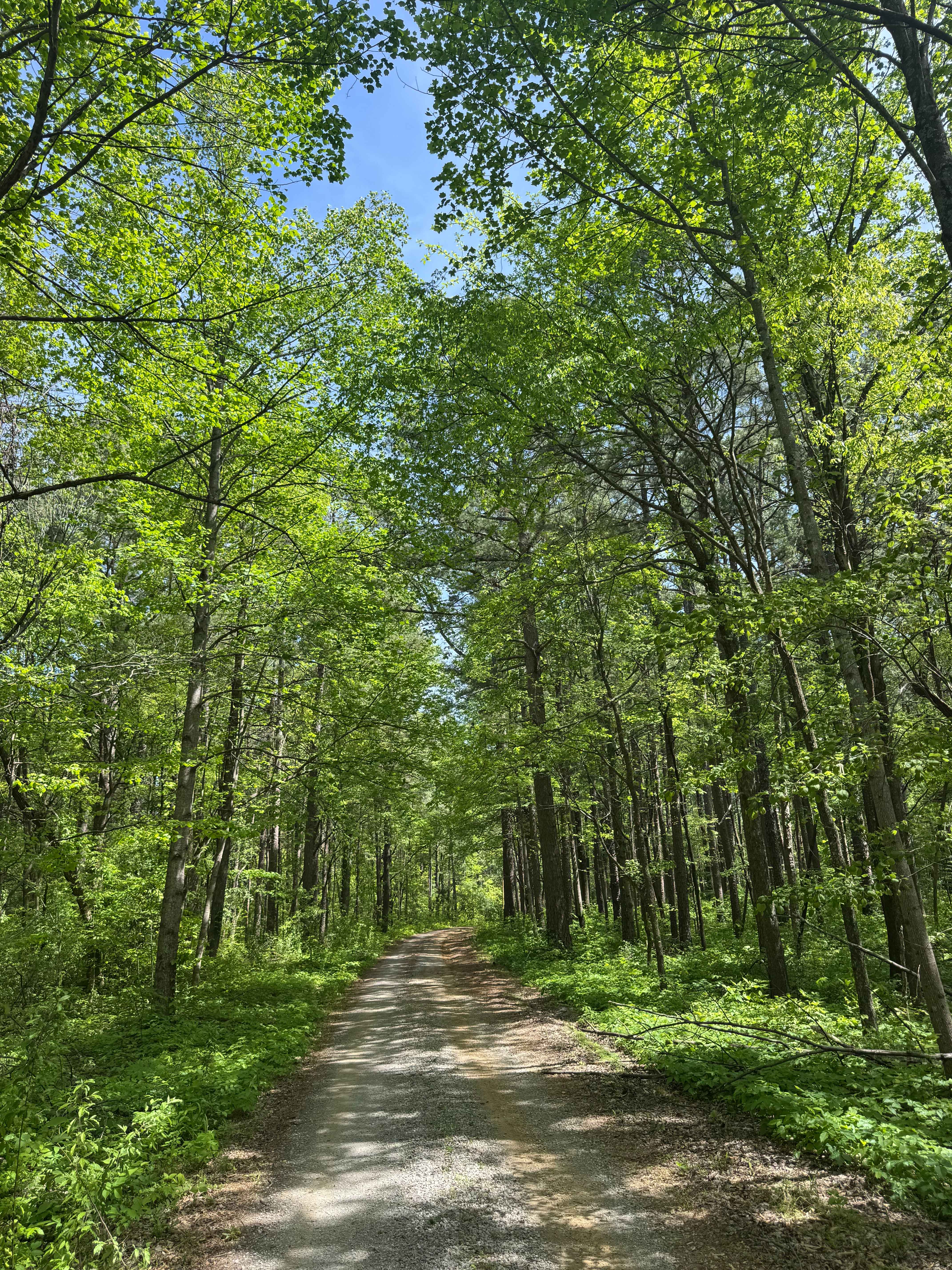
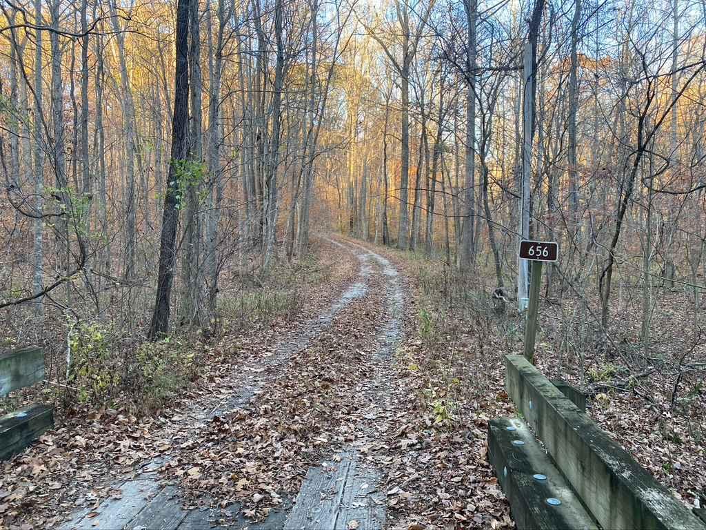
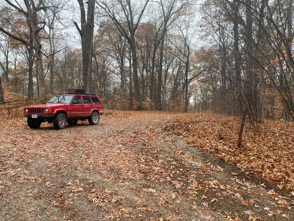
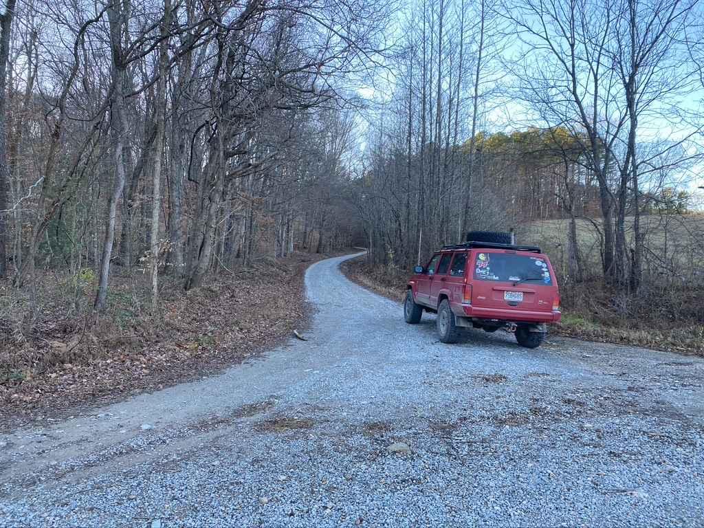
Benham Hill Trail is a gravel route within Shawnee National Forest that provides access to both recreational driving and nearby equestrian and hiking trail systems. The route begins at a large parking area designed for equestrian use, offering space for trailers and staging before entering the trail. The road is generally easy to follow but may include ruts from recent rainfall, and vegetation becomes more overgrown the farther along the route you travel. These conditions may narrow the trail and require additional awareness when passing through tighter sections. Along the route, there are a few primitive camping areas with signs of previous use. These sites are undeveloped and best suited for tent campers or small overlanding setups. This trail serves as both a scenic drive and an access point to additional outdoor recreation opportunities within the forest.
Photos of Benham Hill Trail
Difficulty
Easy. The trail is primarily a gravel road suitable for most vehicles in dry conditions. Ruts from recent rainfall and increasing vegetation overgrowth farther along the route may narrow the trail and require careful navigation. Larger vehicles may have difficulty in tighter sections.
Status Reports
Benham Hill Trail can be accessed by the following ride types:
- High-Clearance 4x4
- SUV
Benham Hill Trail Map
Popular Trails
Honey School Road SFR 656/656C

Rattlesnake Ferry - FS 345
Hamburg SFR 266A
Silica Hill Road SFR 645
The onX Offroad Difference
onX Offroad combines trail photos, descriptions, difficulty ratings, width restrictions, seasonality, and more in a user-friendly interface. Available on all devices, with offline access and full compatibility with CarPlay and Android Auto. Discover what you’re missing today!