Van Noy-Stoddard Trail
Total Miles
4.3
Technical Rating
Best Time
Summer, Fall
Trail Type
50" Trail
Accessible By
Trail Overview
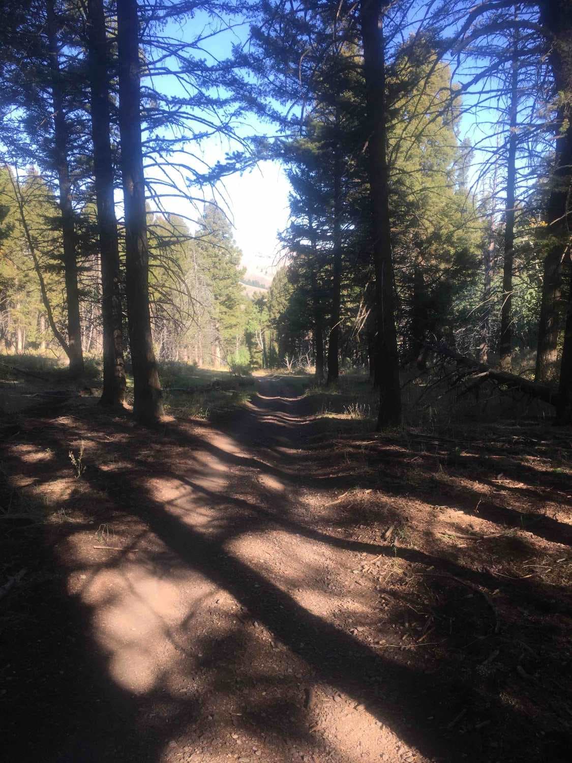
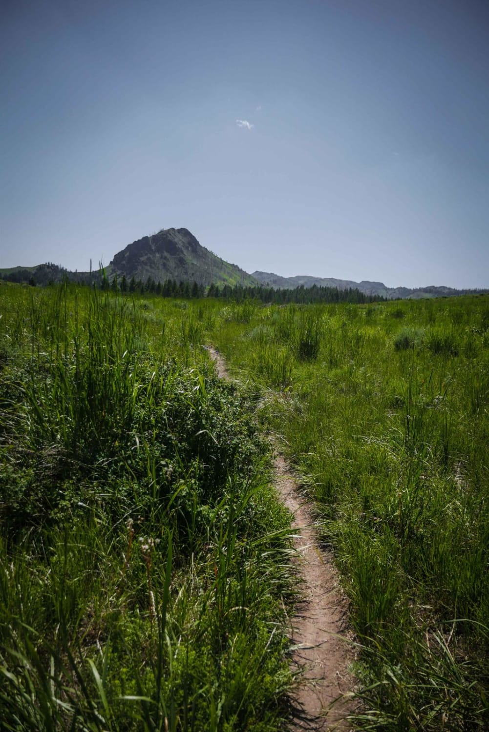
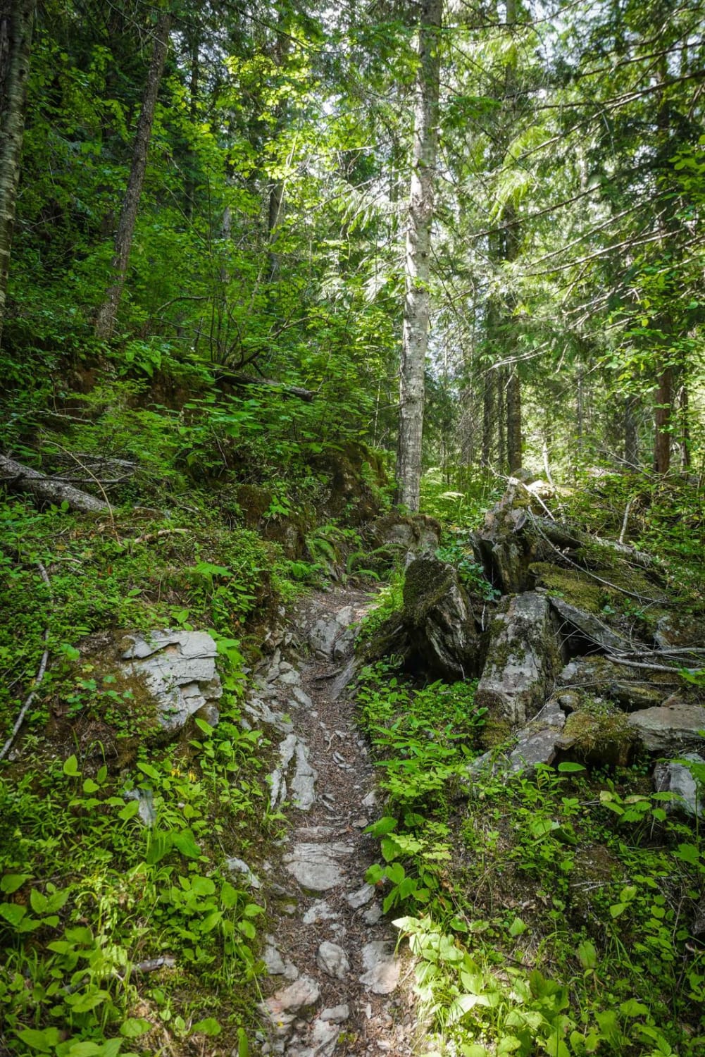
From the end of the Van Noy-Stoddard Road, the trail climbs to a ridgeline for about 1.6 miles, topping out at about 7,800 feet. This section of the trail includes some challenging rocky ascents. The remainder of the trail winds through a beautiful forest of fir trees and some huge aspen groves. The mixture of fir and aspen provides an interesting mixture along the trail.
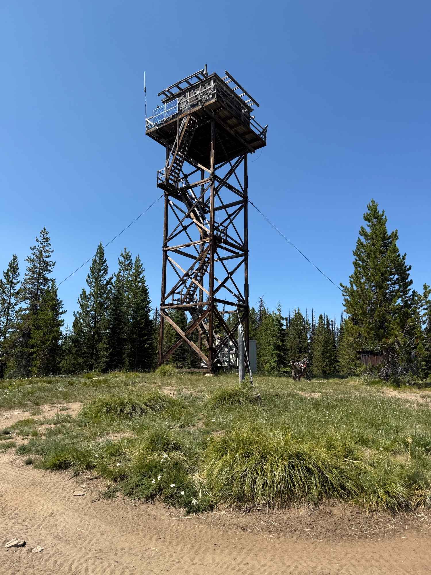
Photos of Van Noy-Stoddard Trail

Difficulty
The first 1.6 miles of this trail include several steep rocky ascents that require intermediate technical skills.
Status Reports
Van Noy-Stoddard Trail can be accessed by the following ride types:
- ATV (50")
- Dirt Bike
Van Noy-Stoddard Trail Map
Popular Trails

South Curlew Connector
Cow Creek Shortcut
Anderson Butte Lookout
The onX Offroad Difference
onX Offroad combines trail photos, descriptions, difficulty ratings, width restrictions, seasonality, and more in a user-friendly interface. Available on all devices, with offline access and full compatibility with CarPlay and Android Auto. Discover what you’re missing today!