St Joe Divide NRT ATV (Slate Creek to Dam Creek)
Total Miles
8.2
Technical Rating
Best Time
Fall, Summer
Trail Type
50" Trail
Accessible By
Trail Overview
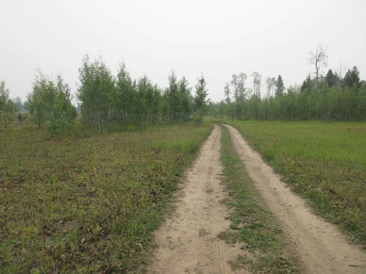
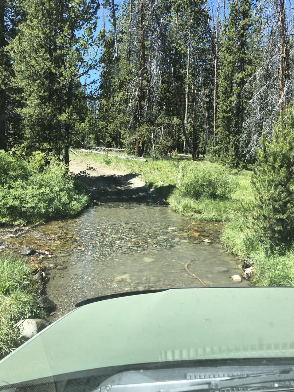
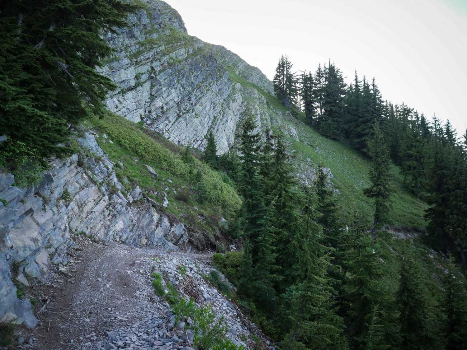
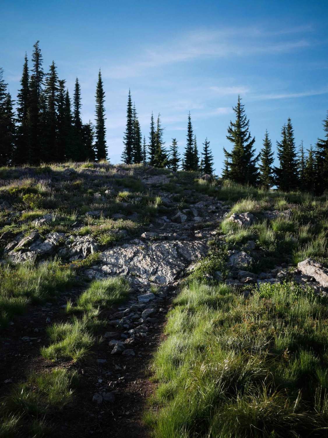
This is an 8.5-mile segment of the St. Joe Divide Nrt ATV trail. This ATV trail runs from Slate Creek to Dam Creek. The divide is between the Coeur D'Alene National Forest and the St. Joe National Forest, and much of the trail follows that natural boundary. It's a wider two-track, often rutted down one side, with lots of sections of loose rocks. Most of it goes along a ridge line through this mountain range, so there are lots of steep and long sustained hill climbs to get up each mountain, then back down to the saddles between the mountains. It's lined with pine trees, with lots of curves, some whoops, and shelfy sections near Bad Tom Mountain that are a bit off-camber with exposure and a bit of embedded rock. The views are really nice the whole way as it traverses this mountain range. It goes next to shale-like rock on the exposed mountain slopes, then back into the pine trees, making for unique scenery. It's a really scenic ride, and there's a nice saddle at the intersection with Dam Creek that makes for a good rest stop. From here you can go north to check out Elsie Lake, or continue on another segment of St. Joe Divide and keep going west.
Photos of St Joe Divide NRT ATV (Slate Creek to Dam Creek)
Difficulty
This is a 5 for ATVs, and easier for dirt bikes (more like a 3). It's an intermediate difficulty for ATVs due to exposed narrow sections on the ridgelines that are sometimes off-camber or full of loose rocks or embedded rocks.
Status Reports
St Joe Divide NRT ATV (Slate Creek to Dam Creek) can be accessed by the following ride types:
- ATV (50")
- Dirt Bike
St Joe Divide NRT ATV (Slate Creek to Dam Creek) Map
Popular Trails

Garner Canyon

Washington Basin

Hay Knapp Creek (North)
The onX Offroad Difference
onX Offroad combines trail photos, descriptions, difficulty ratings, width restrictions, seasonality, and more in a user-friendly interface. Available on all devices, with offline access and full compatibility with CarPlay and Android Auto. Discover what you’re missing today!


