Rocky Peak
Total Miles
2.8
Technical Rating
Best Time
Summer, Fall
Trail Type
Single Track
Accessible By
Trail Overview
Rocky Peak Trail is a 2.9-mile-long intermediate singletrack with a mix of steep climbs, technical rock, and high exposure, along with sweeping views of the surrounding terrain. Starting from the north end at the intersection with Big Hole Crest, the trail immediately climbs up the hillside with big embedded rocks and roots. The dirt here is loose, which makes maintaining traction a challenge as you work through the technical sections. It climbs for less than half a mile, but it's the most physically demanding portion of the trail. After the climb, the trail cuts across an exposed hillside on a narrow trail with high exposure. A technical rock obstacle appears in the middle of this exposed traverse and is best suited for more experienced riders. After reaching the ridge, the trail mostly flows through scenic hilltops and grassy meadows, descending for the remainder of the route toward State Highway 31. It's a smoother, flowier stretch that eases up on difficulty, but remains narrow through tall grass with some rocky patches and a few steep downhill sections. It ends at the highway across from a small shoulder that could be used for parking.
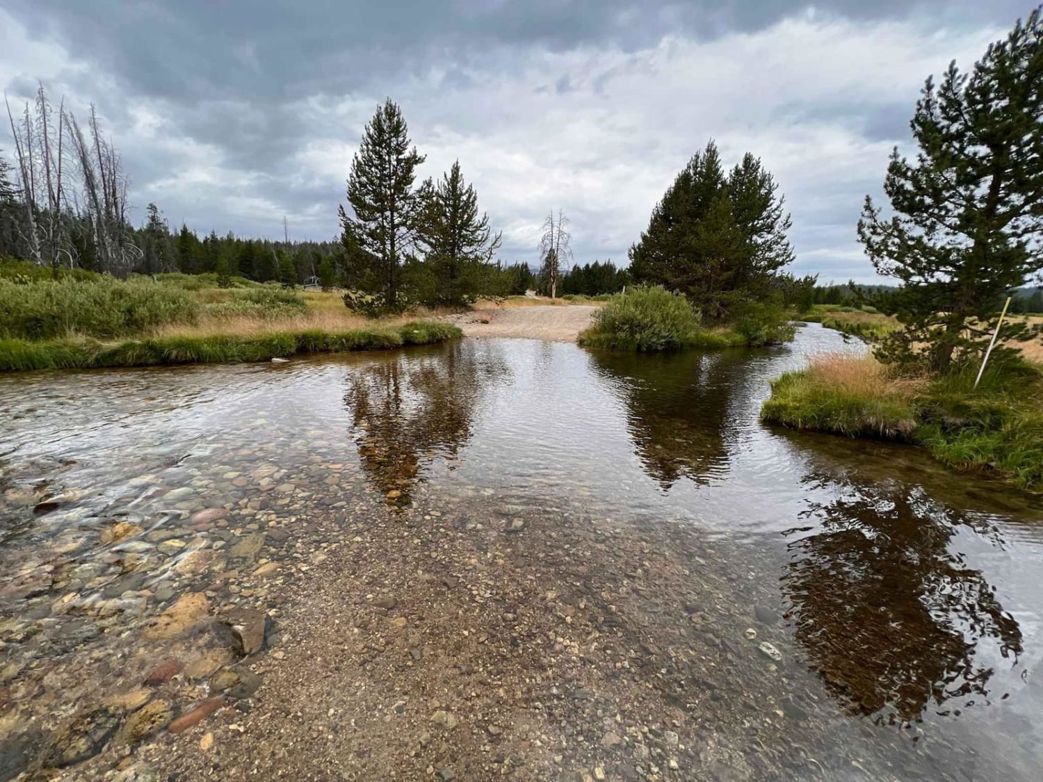
Photos of Rocky Peak


Difficulty
This is an intermediate trail, with the toughest segment being the steep, loose climb and exposed rock feature near the beginning on the north end. While the second half is easier and more flowy, the technical challenges and exposure early on make this best suited for more experienced riders.
Status Reports
Rocky Peak can be accessed by the following ride types:
- Dirt Bike
Rocky Peak Map
Popular Trails
Cow Lane Bypass
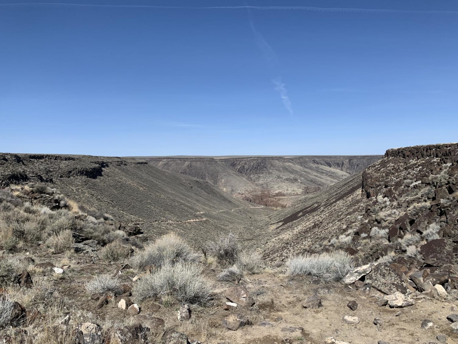
Indian Hot Springs-Hagerman Route
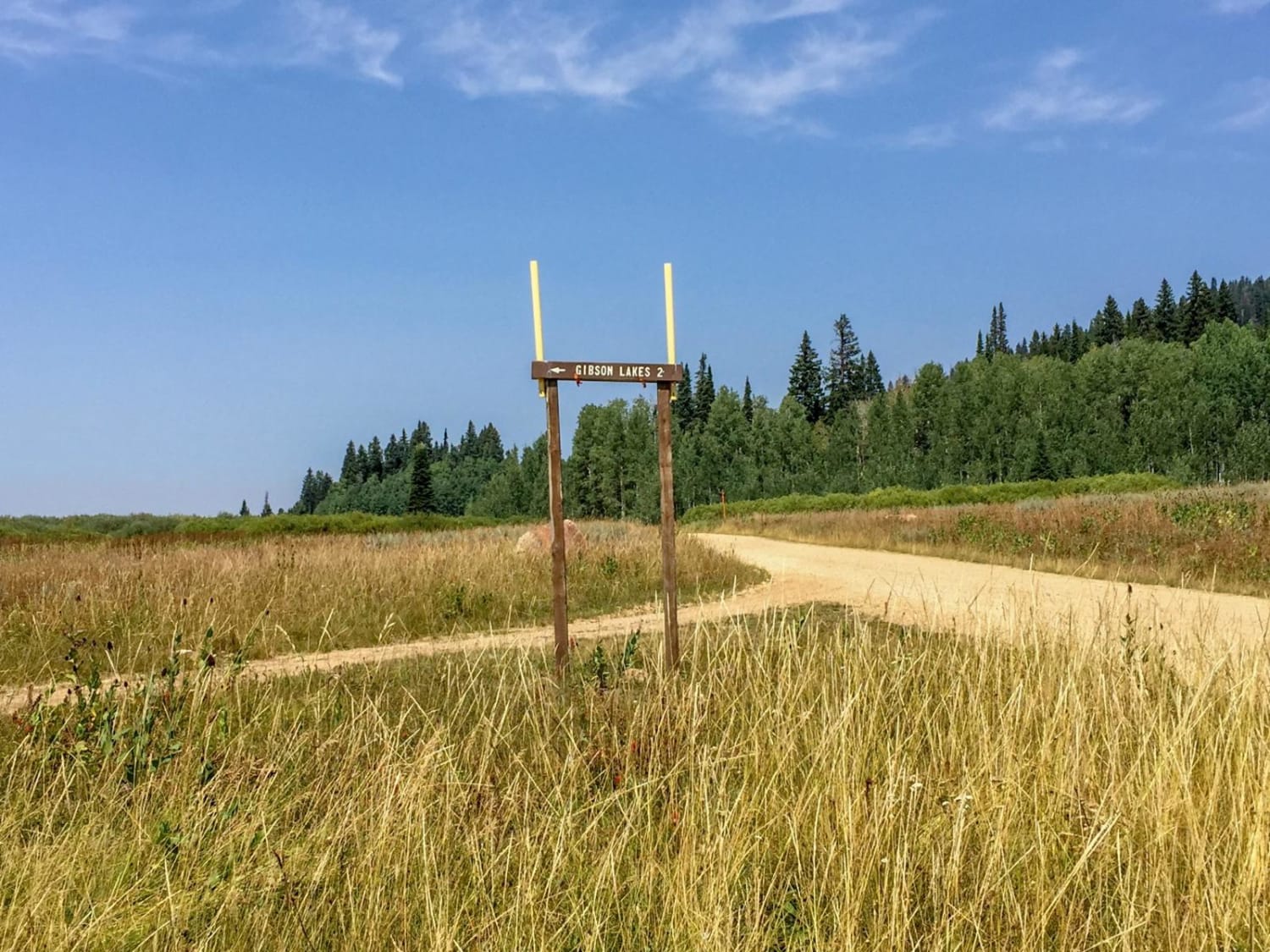
Gibson Lakes
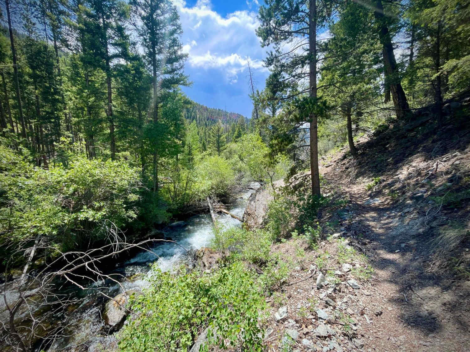
North Fork Big Creek
The onX Offroad Difference
onX Offroad combines trail photos, descriptions, difficulty ratings, width restrictions, seasonality, and more in a user-friendly interface. Available on all devices, with offline access and full compatibility with CarPlay and Android Auto. Discover what you’re missing today!