Kinsey Curran Connector
Total Miles
2.6
Technical Rating
Best Time
Fall, Summer, Spring
Trail Type
Single Track
Accessible By
Trail Overview
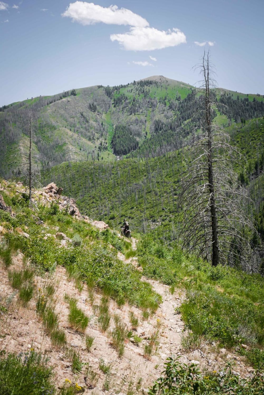
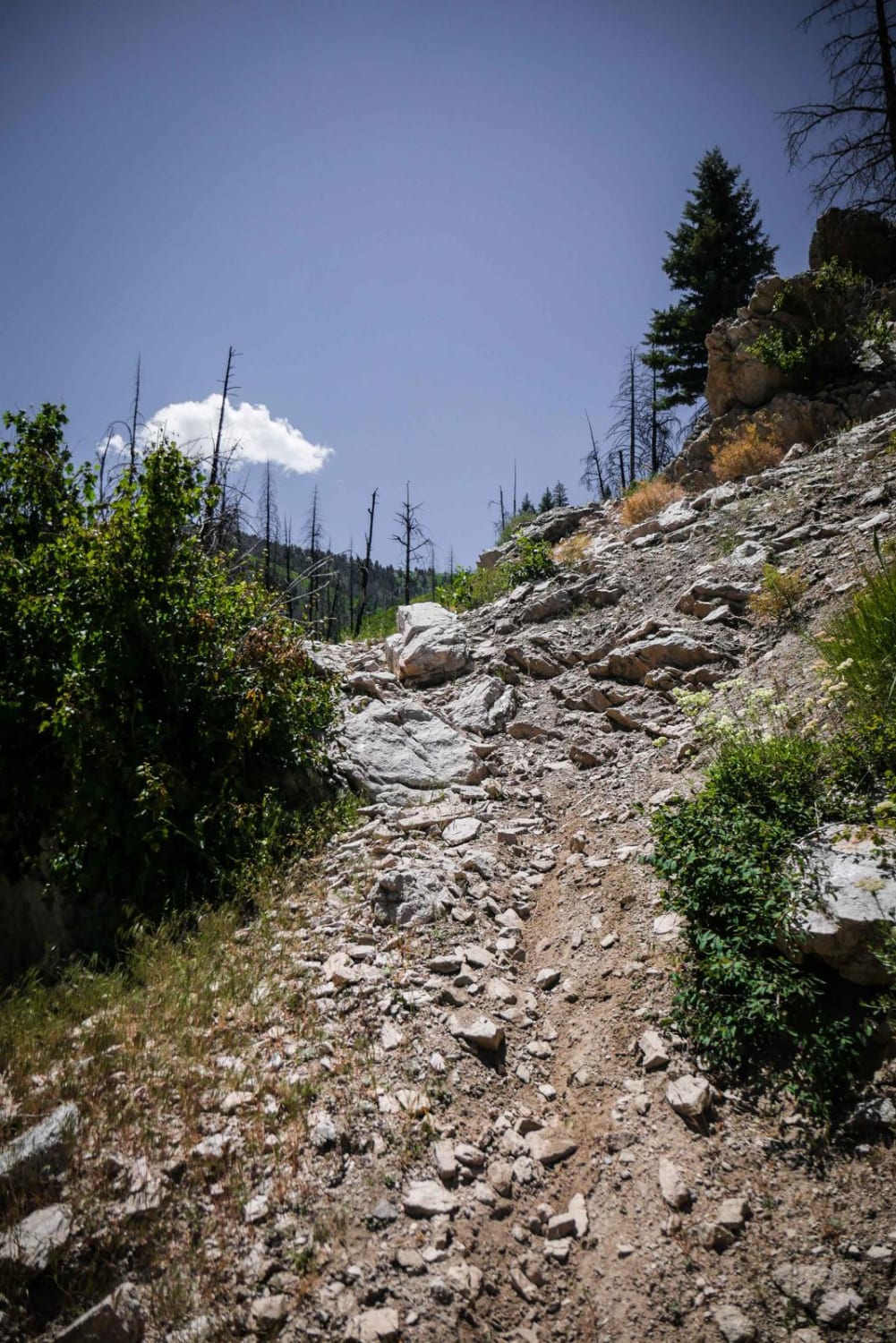
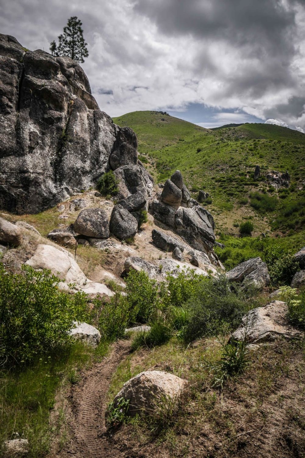
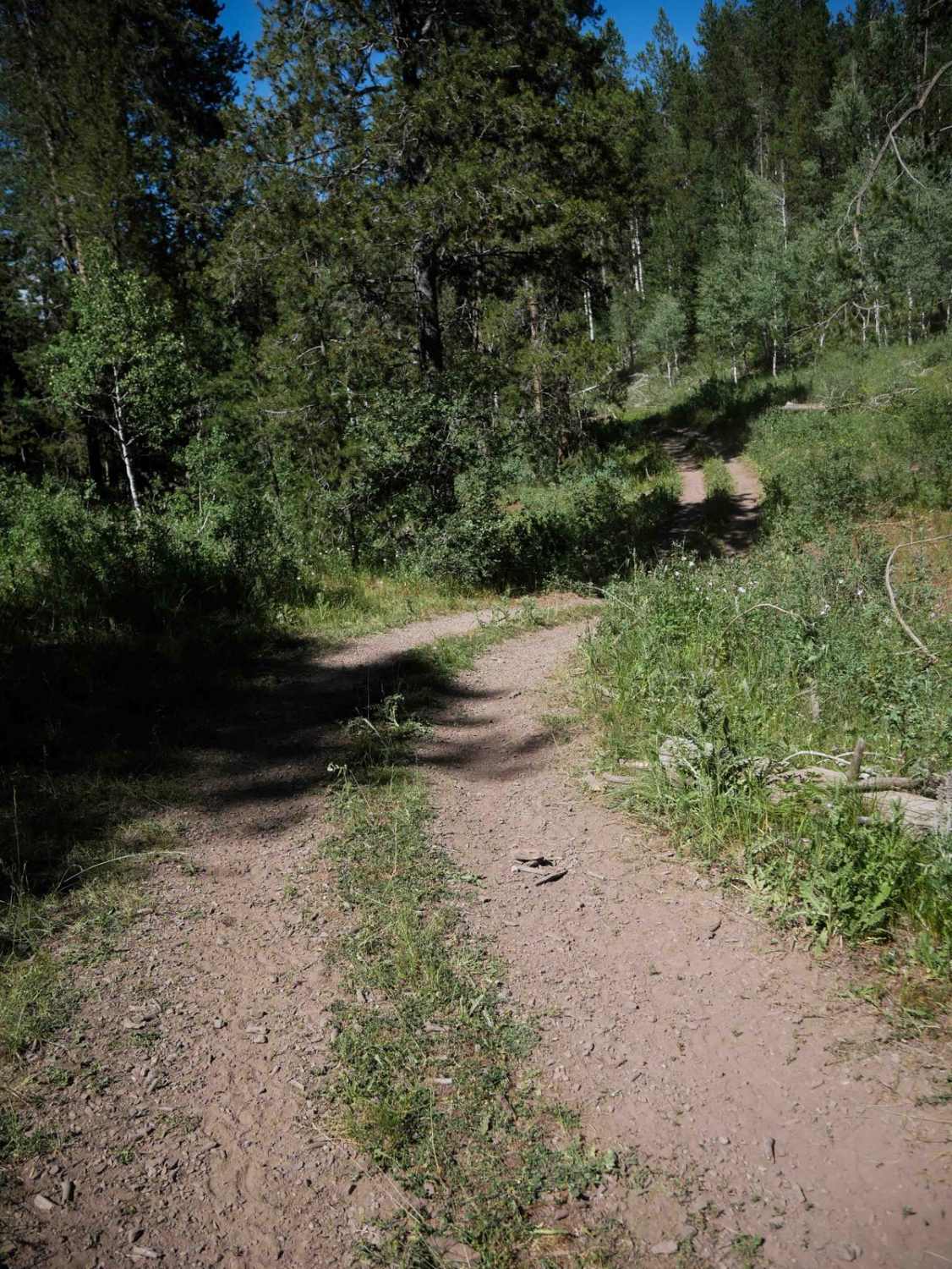
This is a connector trail between the Kinsey Creek ATV trail and Wolftone-Curran that's very rutted. The west side entrance to the trail is at a small creek crossing, but it's a bit difficult because the bushes are overgrown and there are small branches in the creek, it has a steep exit on loose dirt. It switchbacks up a hillside in a burn area. It looks like the locals try to keep the logs cut, but there is always potential for the new downfall of tall and thick trees since it's an extensive burn area. There will likely be a log that is uncut. It gets on top of the peak and then goes down the backside of the mountain to meet up with the Kinsey Creek ATV trail. This side of the mountain gets out of the burn area but is really rutted on a trail of decomposed granite. There are a couple of small rock ledges on the downhill as well, adding some more difficulty. The downfall and troughs make this one not as pleasant to ride compared to the many other epic trails in this system.
Photos of Kinsey Curran Connector
Difficulty
This is an intermediate trail with ruts, troughs, switchbacks, loose dirt, and potential downfall.
Status Reports
Kinsey Curran Connector can be accessed by the following ride types:
- Dirt Bike
Kinsey Curran Connector Map
Popular Trails

Middle Fork Pass Creek Trail
Harrington Peak #5215

Yellow Belly Lake and Hiking Trails
The onX Offroad Difference
onX Offroad combines trail photos, descriptions, difficulty ratings, width restrictions, seasonality, and more in a user-friendly interface. Available on all devices, with offline access and full compatibility with CarPlay and Android Auto. Discover what you’re missing today!