King Mountain to King Border
Total Miles
8.5
Technical Rating
Best Time
Spring, Summer, Fall
Trail Type
High-Clearance 4x4 Trail
Accessible By
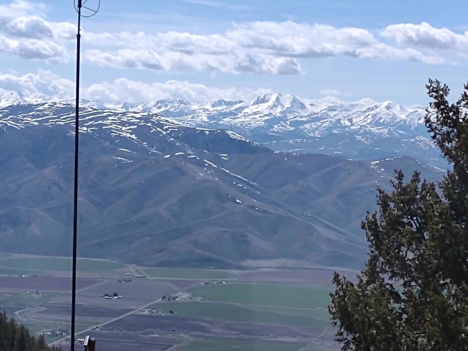
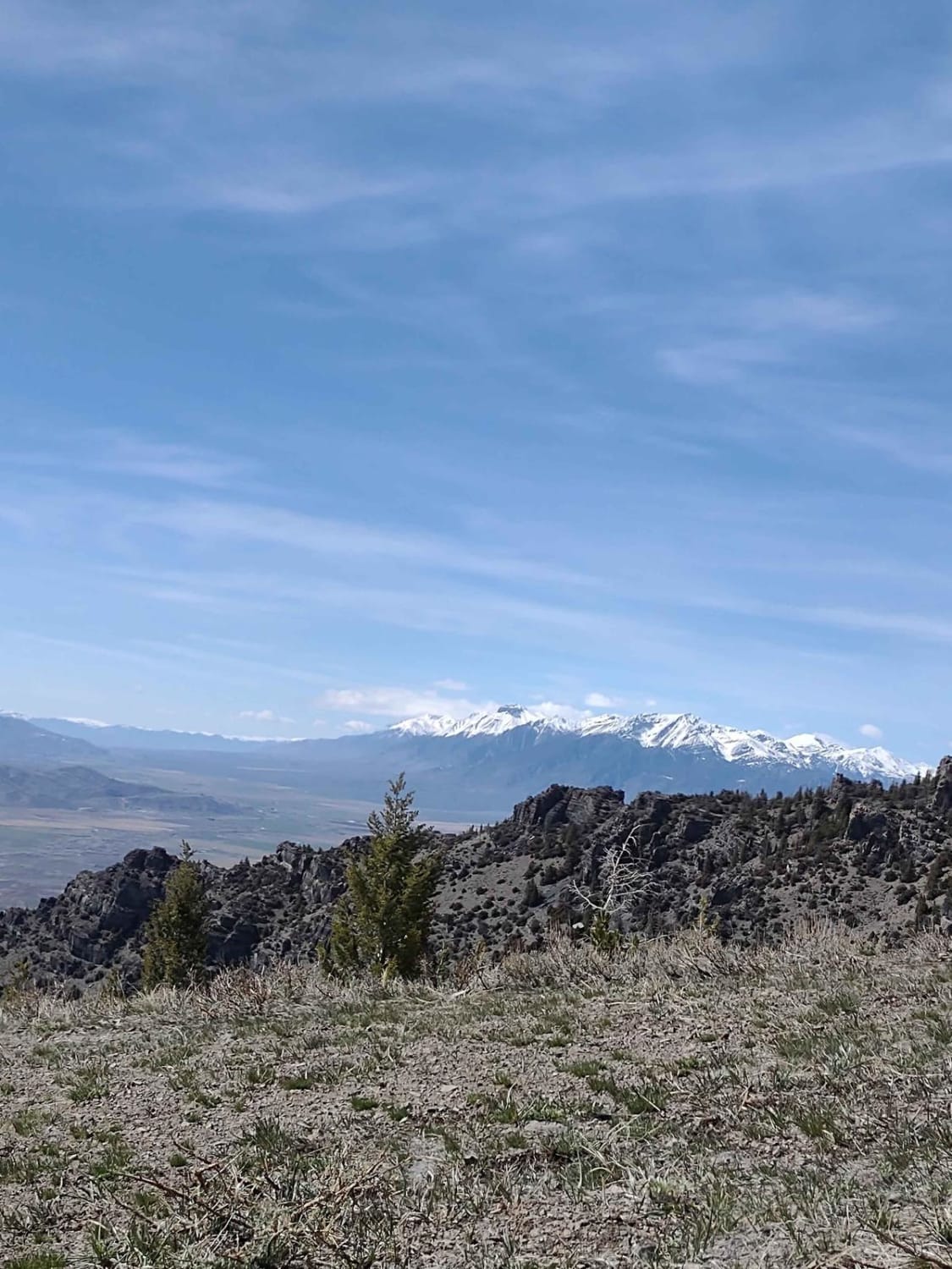
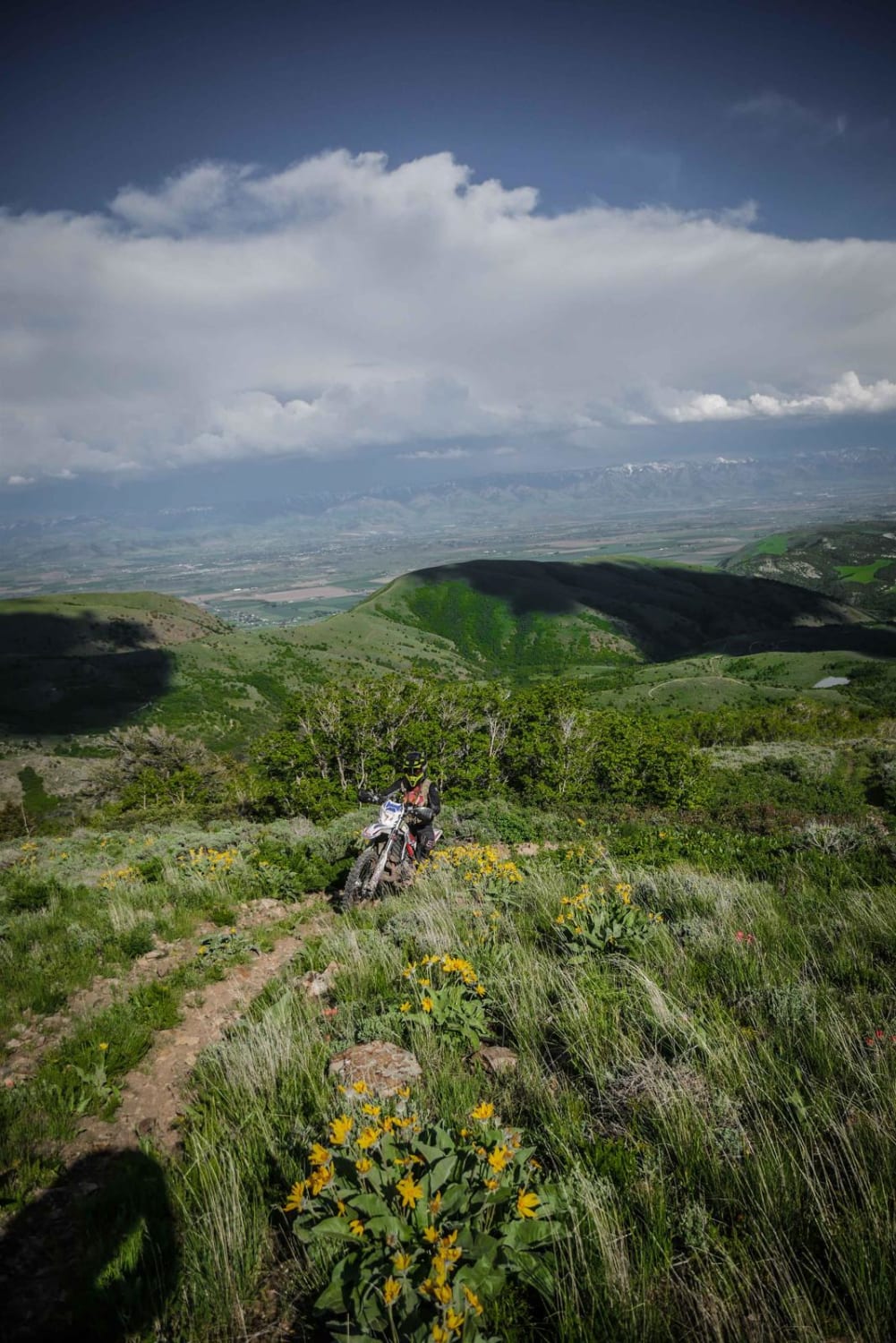
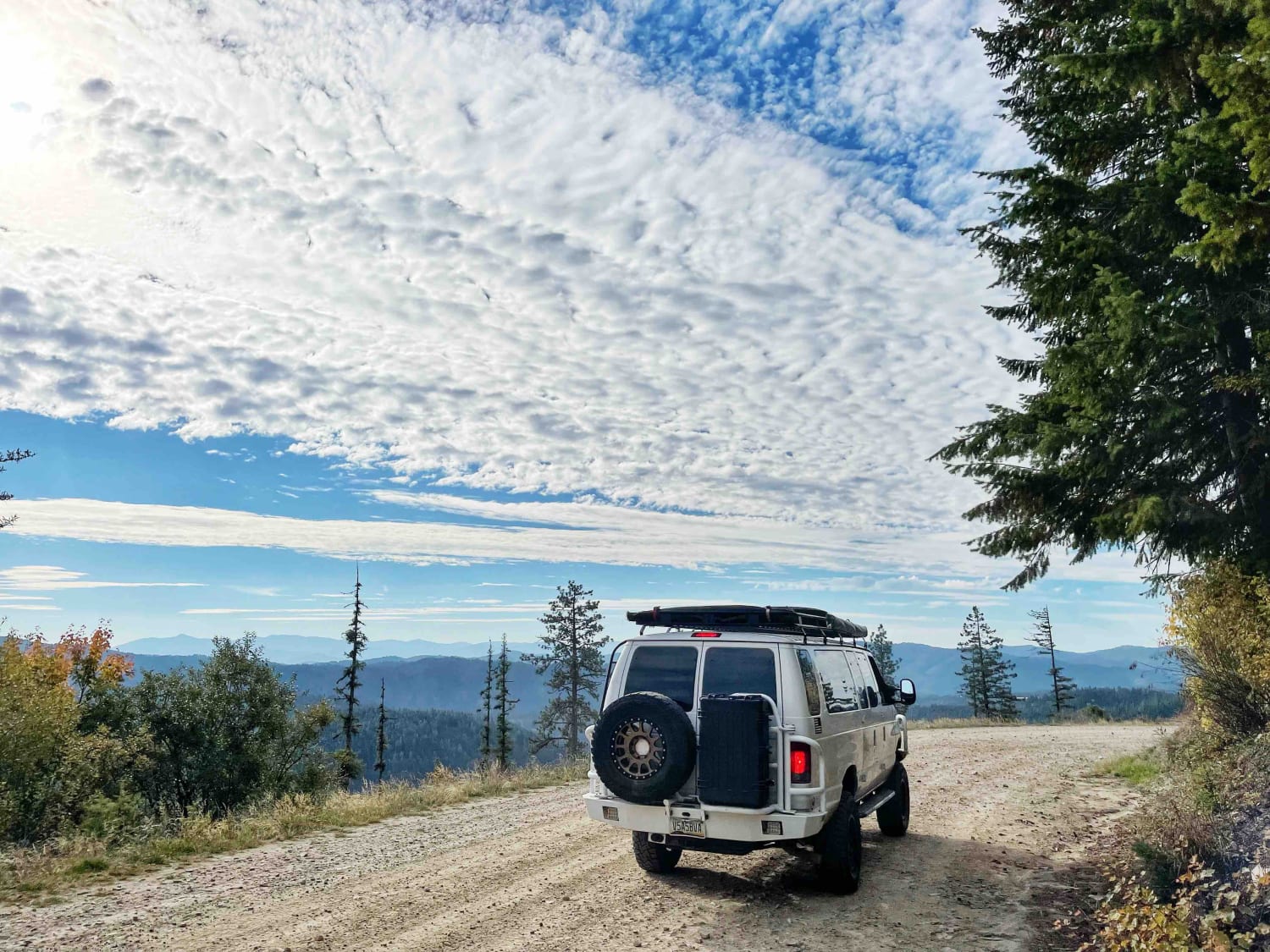
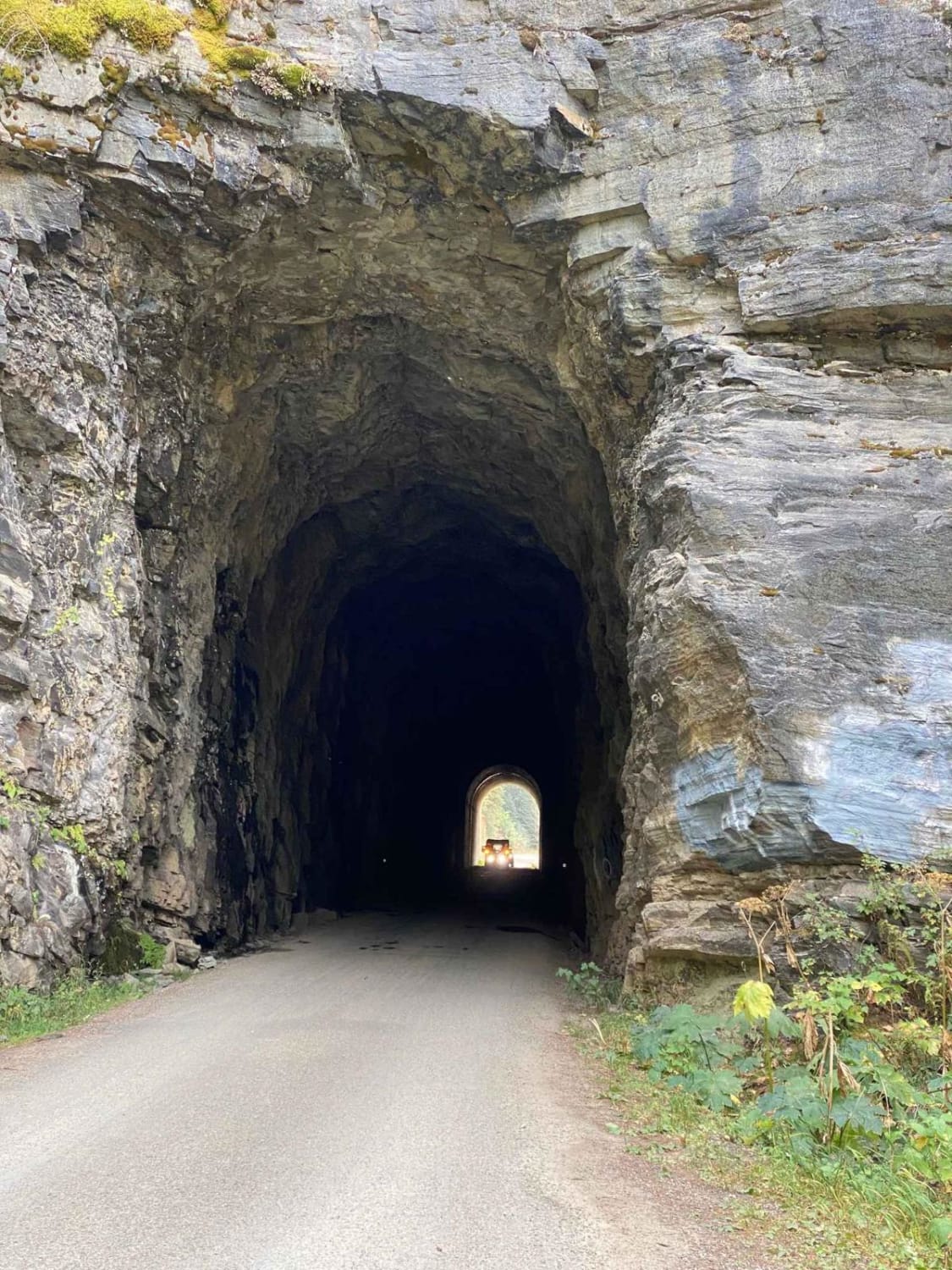
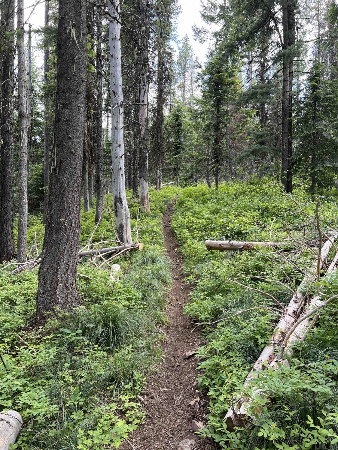
Trail Overview
This track gives you access to the hang glider launch on King Mountain, as well as to the numerous trails north of Moore, Idaho, and Arco, Idaho. Directions from each town are included below. You go from 5400 feet in the valley, to over 8000 feet in the Challis National Forest. The views are simply amazing, the wildlife is plentiful and the trails are numerous.
Photos of King Mountain to King Border
Difficulty
Unless the road is muddy, it's an easy ride. Early in the springtime or after a rain, you may encounter mud and/or snow.
History
The Challis National Forest is an Idaho State Park, and the section of the Forest in this area covers 135K acres. In total, the Salmon-Challis National Forest covers 4.3 million acres.
Status Reports
King Mountain to King Border can be accessed by the following ride types:
- High-Clearance 4x4
- SxS (60")
- ATV (50")
- Dirt Bike
King Mountain to King Border Map
Popular Trails
Old Baldy Connector 7438
Blue Ridge Views
The onX Offroad Difference
onX Offroad combines trail photos, descriptions, difficulty ratings, width restrictions, seasonality, and more in a user-friendly interface. Available on all devices, with offline access and full compatibility with CarPlay and Android Auto. Discover what you’re missing today!