Johnson/Lakeview Rd. #278
Total Miles
14.9
Technical Rating
Best Time
Spring, Summer, Fall
Trail Type
Full-Width Road
Accessible By
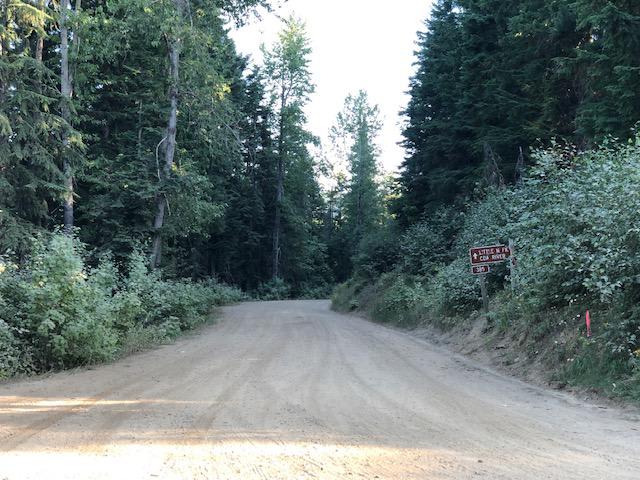
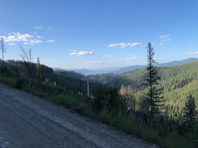
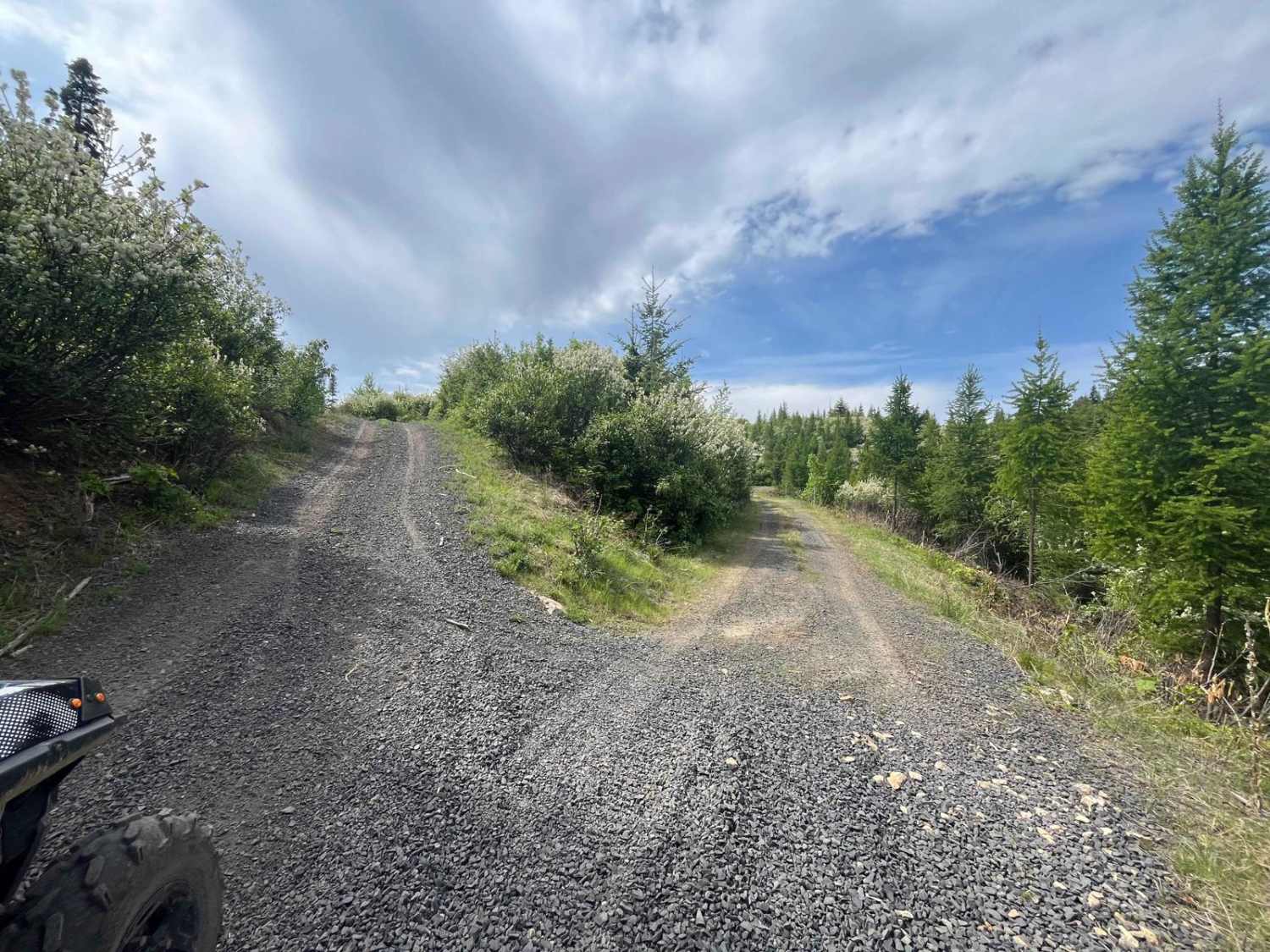
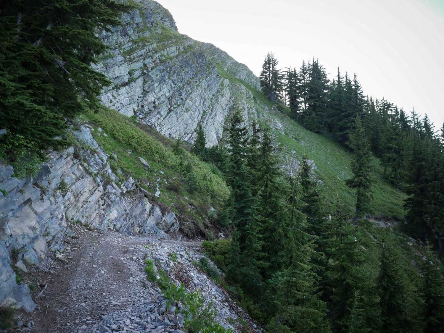
Trail Overview
This is a dirt road with small ruts and occasional deep ruts, clear width for large vehicles, and many off-shoot narrow trails for ATVs or dirt bikes.
Photos of Johnson/Lakeview Rd. #278
Difficulty
Description above was accurate
Status Reports
Johnson/Lakeview Rd. #278 can be accessed by the following ride types:
- High-Clearance 4x4
- SUV
- SxS (60")
- ATV (50")
- Dirt Bike
Johnson/Lakeview Rd. #278 Map
Popular Trails
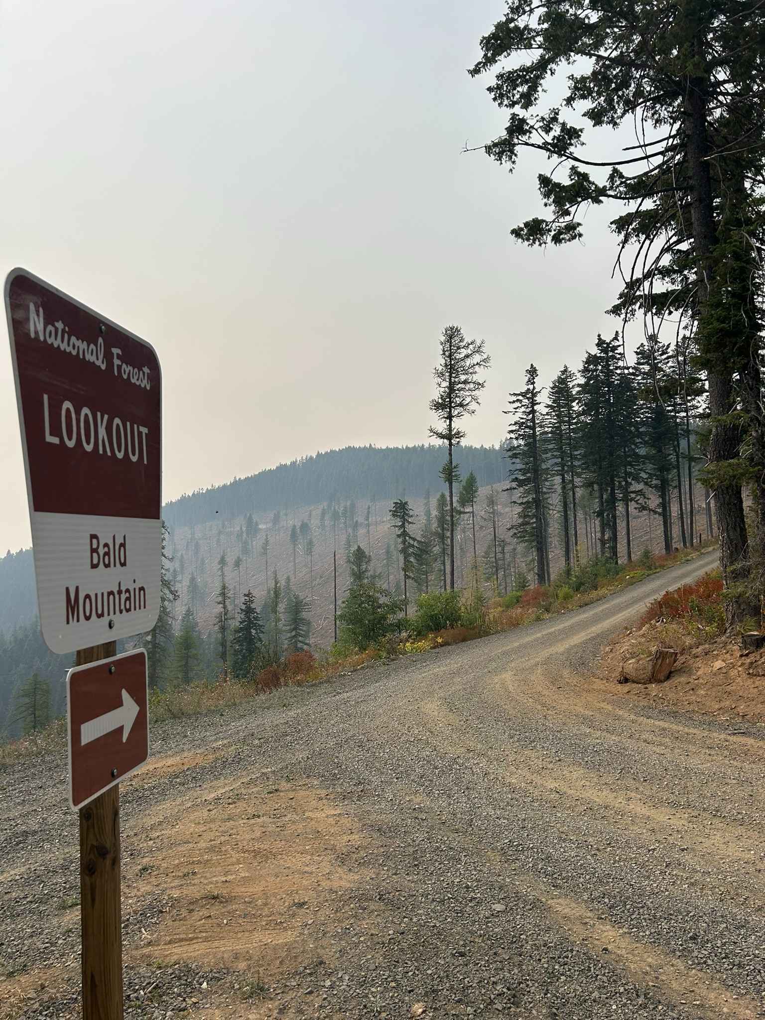
Bald Mountain Lookout - FS 377A
Total Miles
1.1
Tech Rating
Easy
Best Time
Sp / Su / Fa / Wi
Dinner Bucket Road
Total Miles
1.8
Tech Rating
Easy
Best Time
Sp / Su / Fa
St Joe Divide NRT ATV (Slate Creek to Dam Creek)
Total Miles
8.2
Tech Rating
Moderate
Best Time
Fa / Su
The onX Offroad Difference
onX Offroad combines trail photos, descriptions, difficulty ratings, width restrictions, seasonality, and more in a user-friendly interface. Available on all devices, with offline access and full compatibility with CarPlay and Android Auto. Discover what you’re missing today!