Howe Peak Ridge
Total Miles
7.1
Technical Rating
Best Time
Fall, Summer, Spring
Trail Type
Full-Width Road
Accessible By
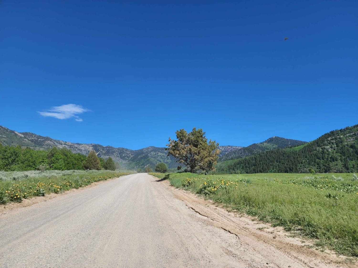
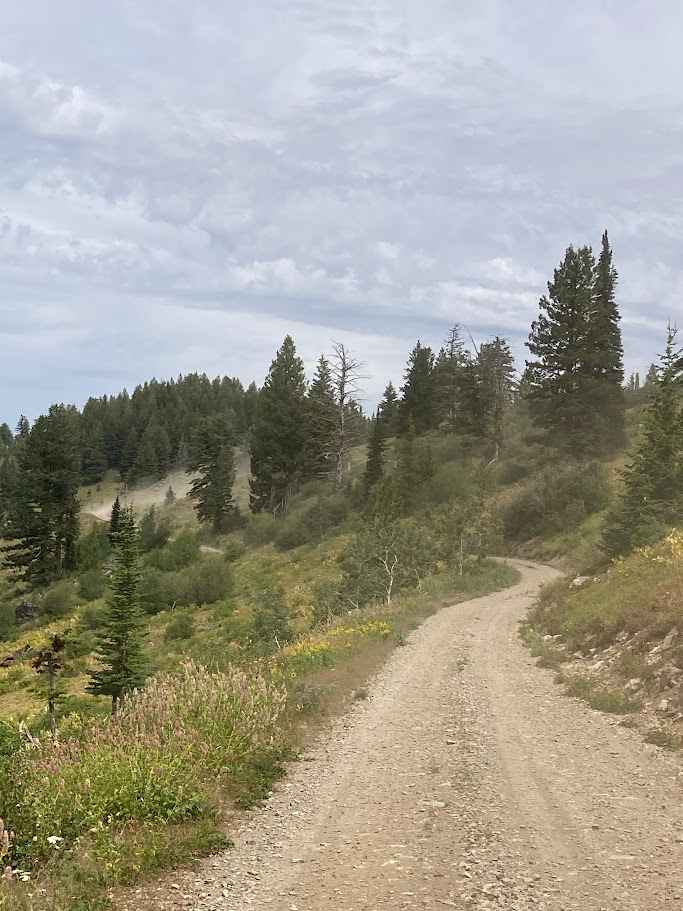
Trail Overview
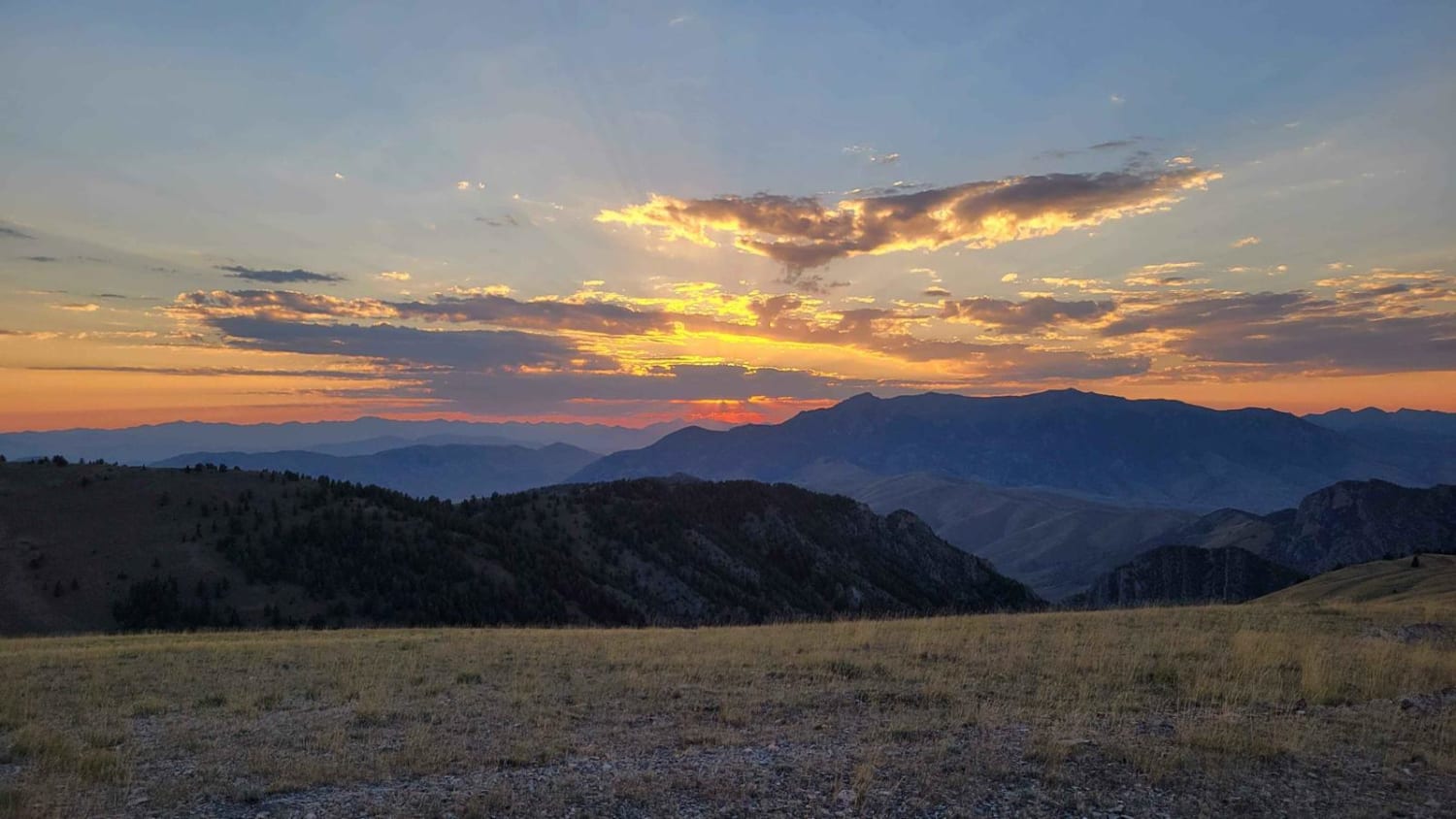
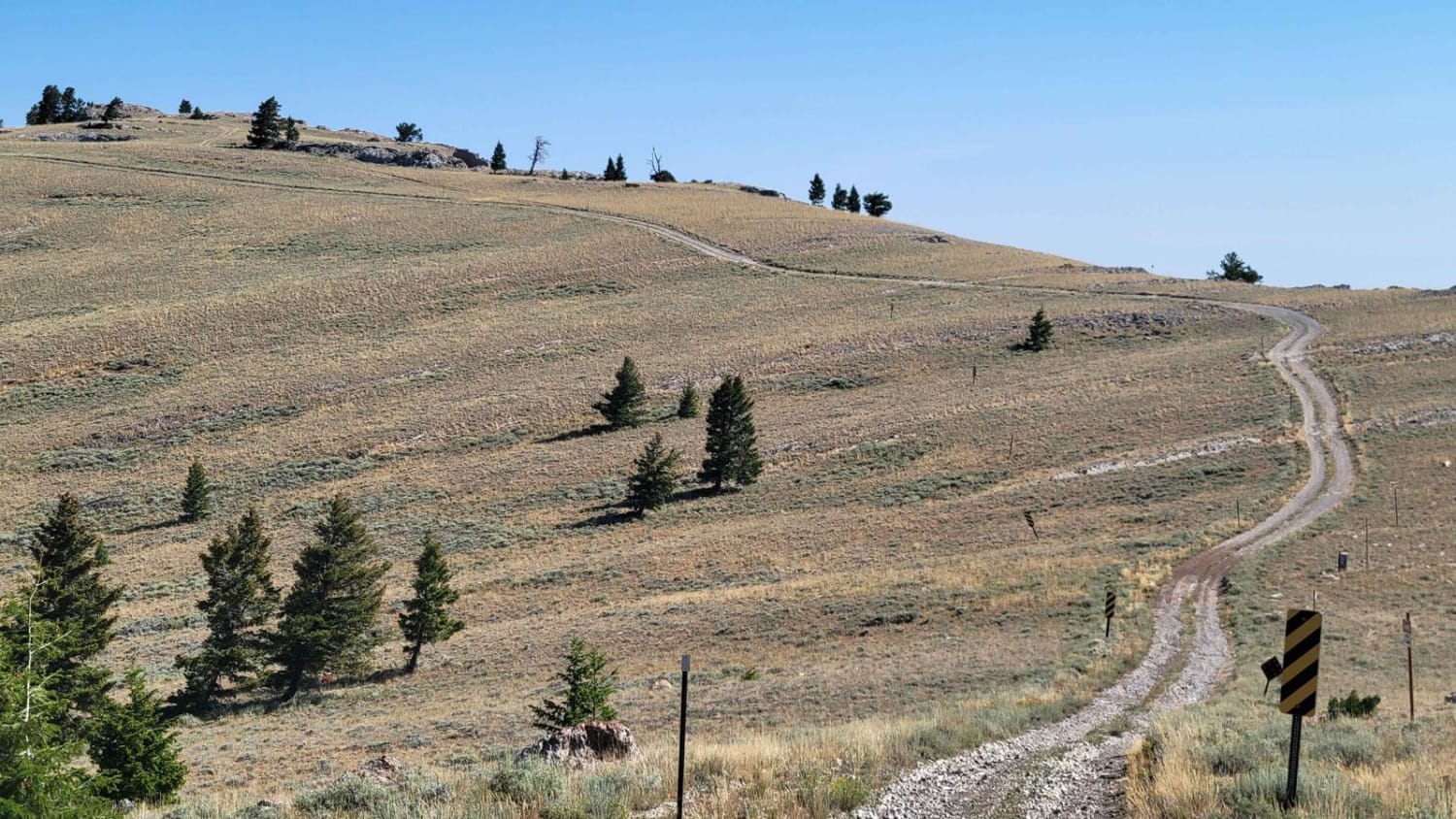
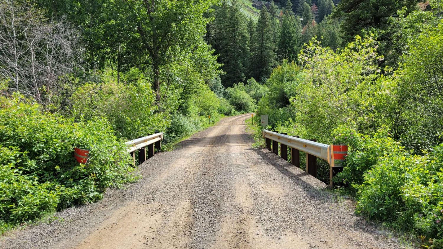
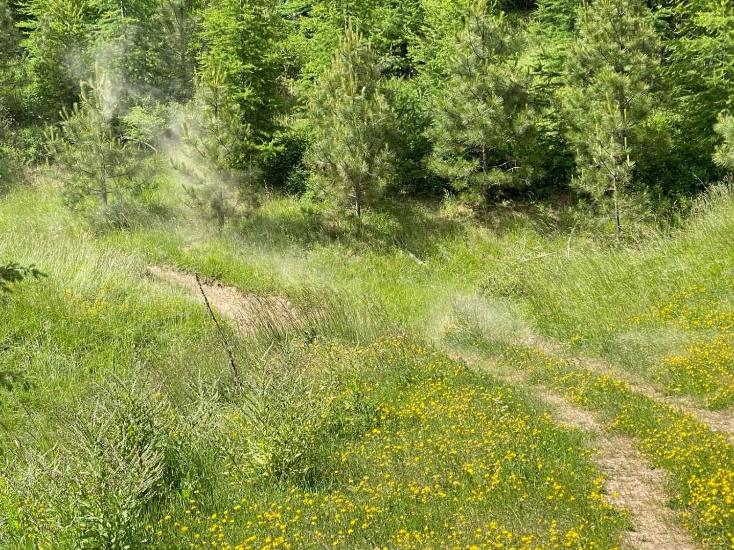
The Howe Peak Ridge Trail is an out and back trail in Challis National Forest in Idaho. This trail offers incredible views from the peak while next to the two radio towers. There's many campsites throughout, as well as the opposite spur to Jumpoff Peak. The trail is a steep and rutted climb with loose rock. Although the trail has some cell service, be sure to download offline maps.
Photos of Howe Peak Ridge
Difficulty
This trail should be suitable for most stock SUVs with higher ground clearance and 4wd with low range.
Status Reports
Howe Peak Ridge can be accessed by the following ride types:
- High-Clearance 4x4
- SUV
- SxS (60")
- ATV (50")
- Dirt Bike
Howe Peak Ridge Map
Popular Trails
FR 025 - Adams Creek
Franklin Basin-ID
The onX Offroad Difference
onX Offroad combines trail photos, descriptions, difficulty ratings, width restrictions, seasonality, and more in a user-friendly interface. Available on all devices, with offline access and full compatibility with CarPlay and Android Auto. Discover what you’re missing today!