Horseshoe to Harrington #5212
Total Miles
1.2
Technical Rating
Best Time
Summer, Fall
Trail Type
50" Trail
Accessible By
Trail Overview
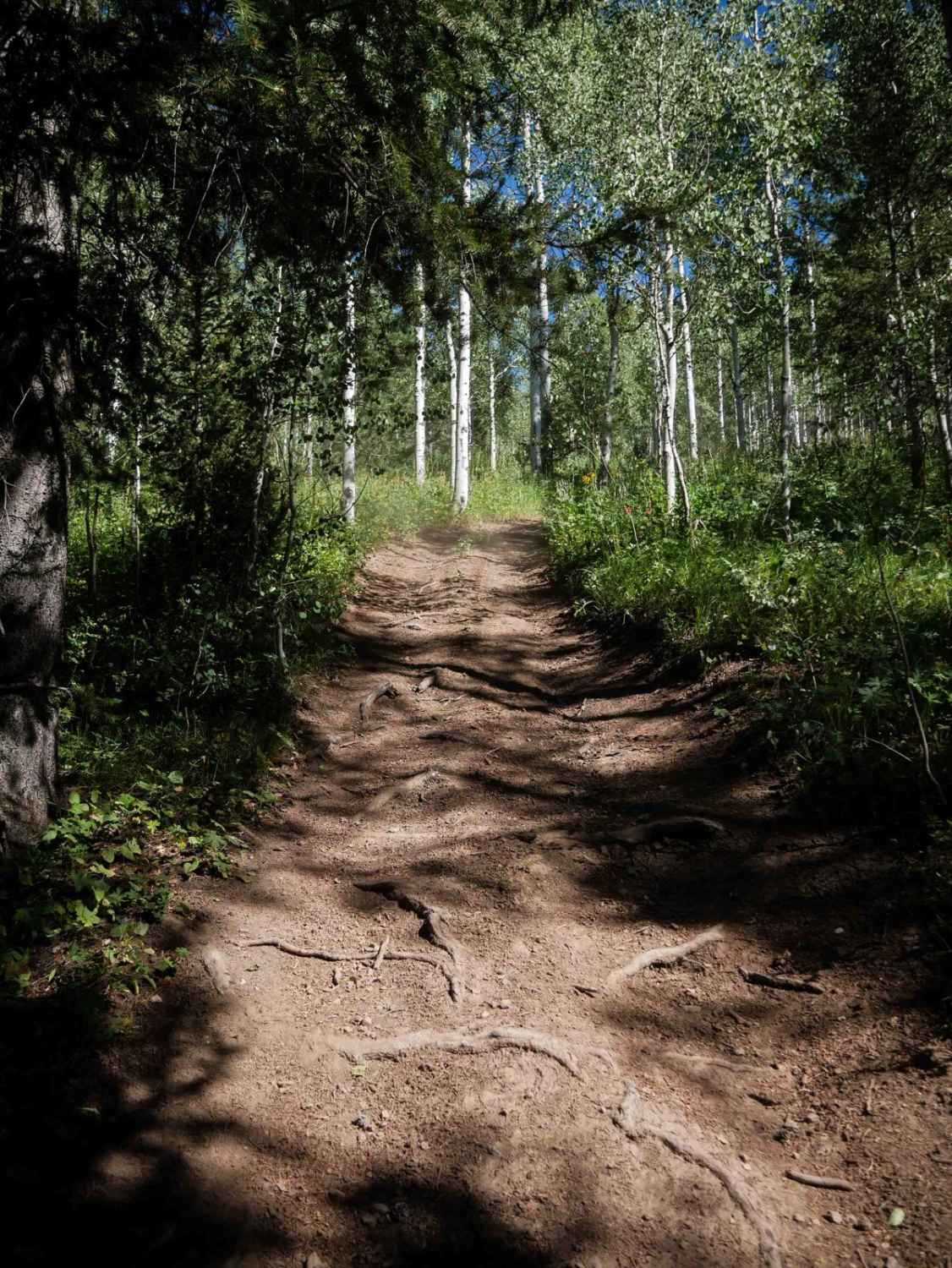
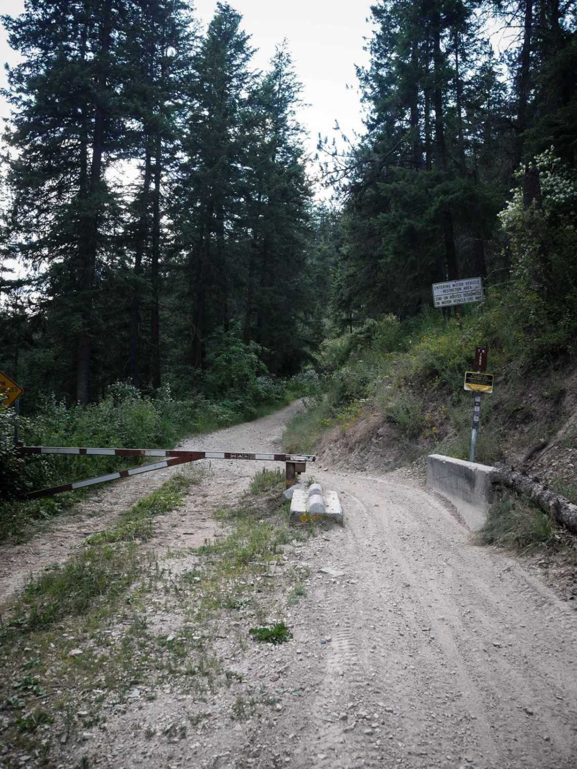
Horseshoe to Harrington #5212 is a moderate 1.1-mile ATV trail that gains 600 feet of elevation as it climbs south from a starting point near a couple of dispersed campsites off Slug Creek Road. The path is wide and easy to follow, despite being unmarked at the north entrance, and travels through scenic groves of aspens and pines, with tall grassy hillsides along the way. The surface is dry and dusty, with minor features like small loose rocks, roots, and shallow ruts. The main challenge comes from the continuous steep climb, which includes embedded rock, loose dirt, tighter curves, root bands crossing the trail, and big waterbars. It ends on Harrington Peak Road #51238 on the south end, which you can take to connect back to Slug Creek Road and more ATV trails.
Photos of Horseshoe to Harrington #5212

Difficulty
This is an intermediate trail due to the sustained steep grade combined with loose surfaces, roots, and embedded rock. Though short, the consistent climb adds enough technical terrain to push it beyond an easy rating.
Status Reports
Horseshoe to Harrington #5212 can be accessed by the following ride types:
- ATV (50")
- Dirt Bike
Horseshoe to Harrington #5212 Map
Popular Trails

Canfield Mountain- Trail 3

Blue Ridge - FS 7048

Lupine Gulch
The onX Offroad Difference
onX Offroad combines trail photos, descriptions, difficulty ratings, width restrictions, seasonality, and more in a user-friendly interface. Available on all devices, with offline access and full compatibility with CarPlay and Android Auto. Discover what you’re missing today!