Black Pine Spring
Total Miles
2.1
Technical Rating
Best Time
Spring, Summer, Fall
Trail Type
Full-Width Road
Accessible By
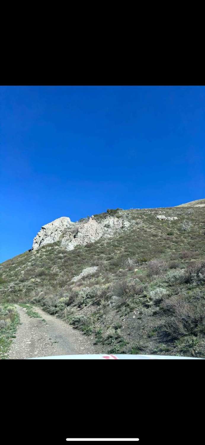
Trail Overview
This route follows War Eagle, then branches off to the south. It goes down a little bit of an incline, and then follows a spring through the valley and eventually meets back up with Black Pine Canyon Trail. There are a couple of "water crossings" throughout the trail, but it's just crossing the very small stream that comes from the spring. There are a couple of opportunities for dispersed camping. There is a lot of clay soil that may be impassable with snow and/or mud in the winter months.
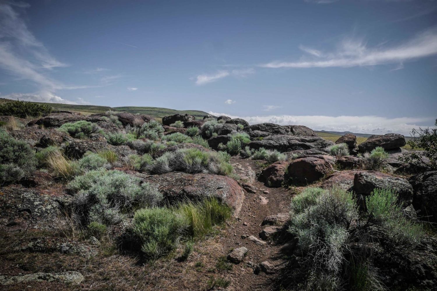
Photos of Black Pine Spring

Difficulty
Categorized as a 2 due to a couple of one-foot deep ruts on the descent, and then one water crossing with ruts. Never had to use 4WD.
Status Reports
Black Pine Spring can be accessed by the following ride types:
- High-Clearance 4x4
- SUV
- SxS (60")
- ATV (50")
- Dirt Bike
Black Pine Spring Map
Popular Trails

Carlin Creek/Carrill Ridge

Hay Knapp Creek (South)

Lolo Motorway (aka FS Rd #500)
The onX Offroad Difference
onX Offroad combines trail photos, descriptions, difficulty ratings, width restrictions, seasonality, and more in a user-friendly interface. Available on all devices, with offline access and full compatibility with CarPlay and Android Auto. Discover what you’re missing today!