Turner Trail
Total Miles
2.0
Technical Rating
Best Time
Spring, Summer, Fall, Winter
Trail Type
Full-Width Road
Accessible By
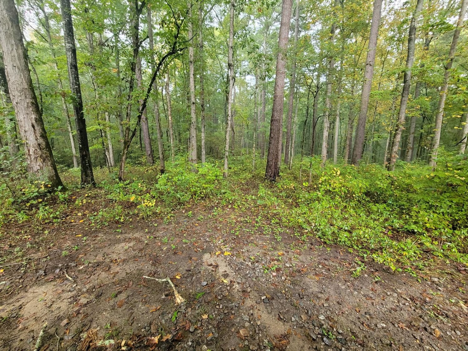
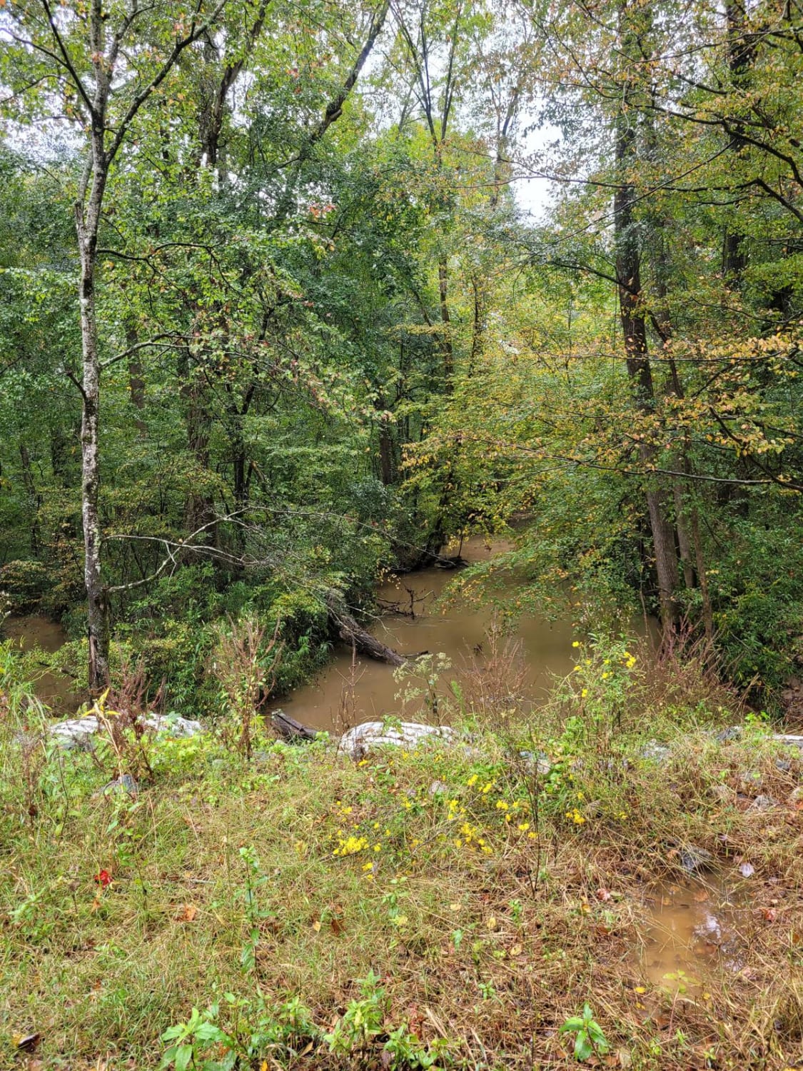
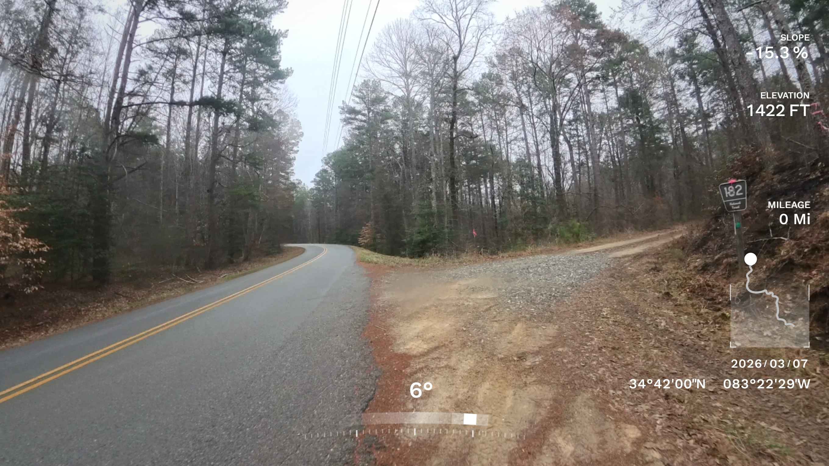
Trail Overview
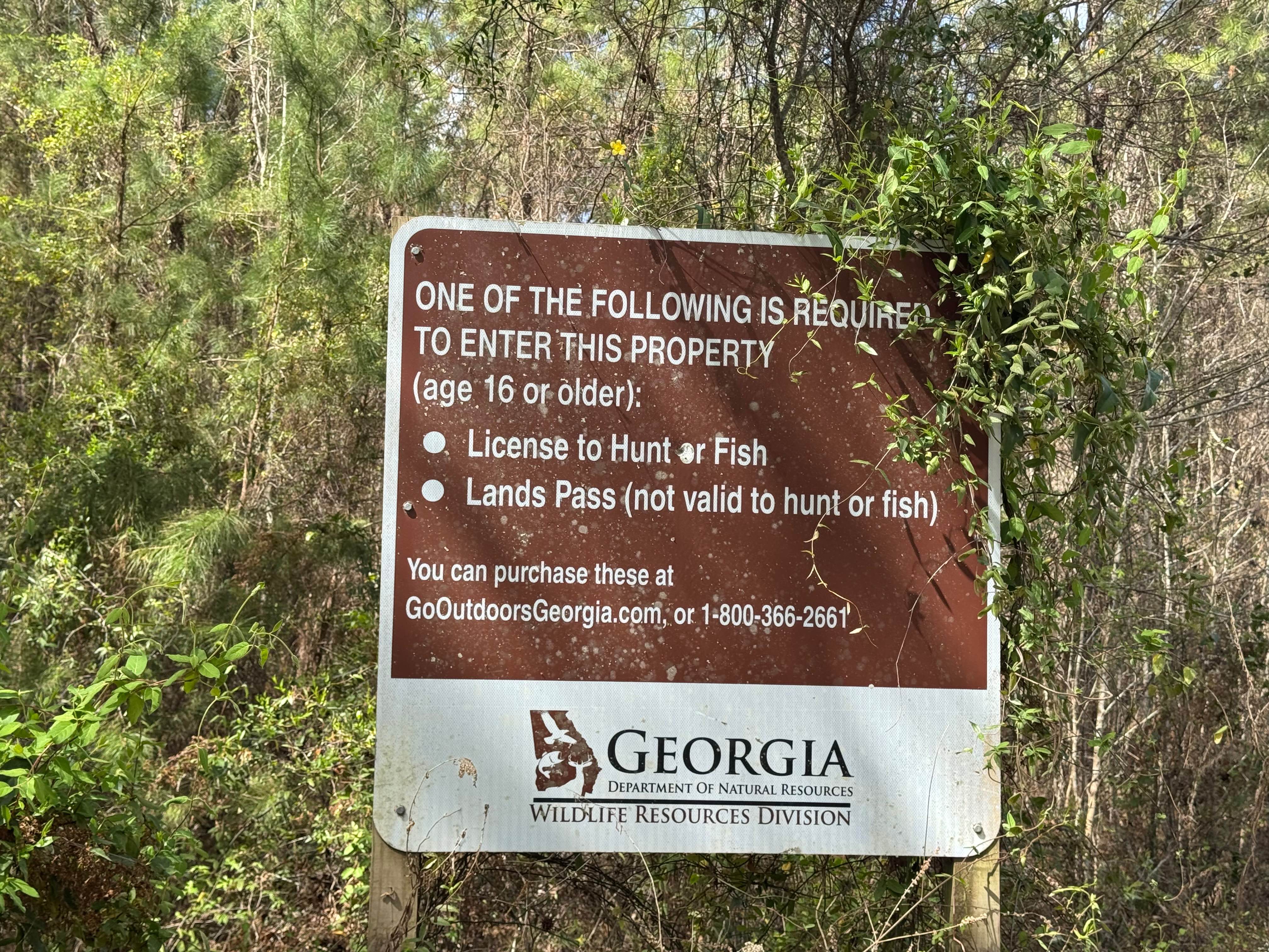
This trail is in the Oconee National Forest, with the entrance just south of Springfield Church off US HWY 278. There are private lands mixed with federal lands. It's a pretty trail with creeks, lined with broad-leaf and pine. There is a mud pit at the end of the trail that can be crossed only in lifted 4x4 trucks. There are a couple of spots for camping along the trail.
Photos of Turner Trail
Difficulty
The trail gets narrow and there are spurs, which can be difficult.
Status Reports
Turner Trail can be accessed by the following ride types:
- High-Clearance 4x4
- SUV
- ATV (50")
- Dirt Bike
Turner Trail Map
Popular Trails
Blount's Crossing
Red Root Road- FS 92

Timpson Creek / Racepath
The onX Offroad Difference
onX Offroad combines trail photos, descriptions, difficulty ratings, width restrictions, seasonality, and more in a user-friendly interface. Available on all devices, with offline access and full compatibility with CarPlay and Android Auto. Discover what you’re missing today!