Tibbs ATV
Total Miles
2.2
Technical Rating
Best Time
Spring, Fall, Summer
Trail Type
50" Trail
Accessible By
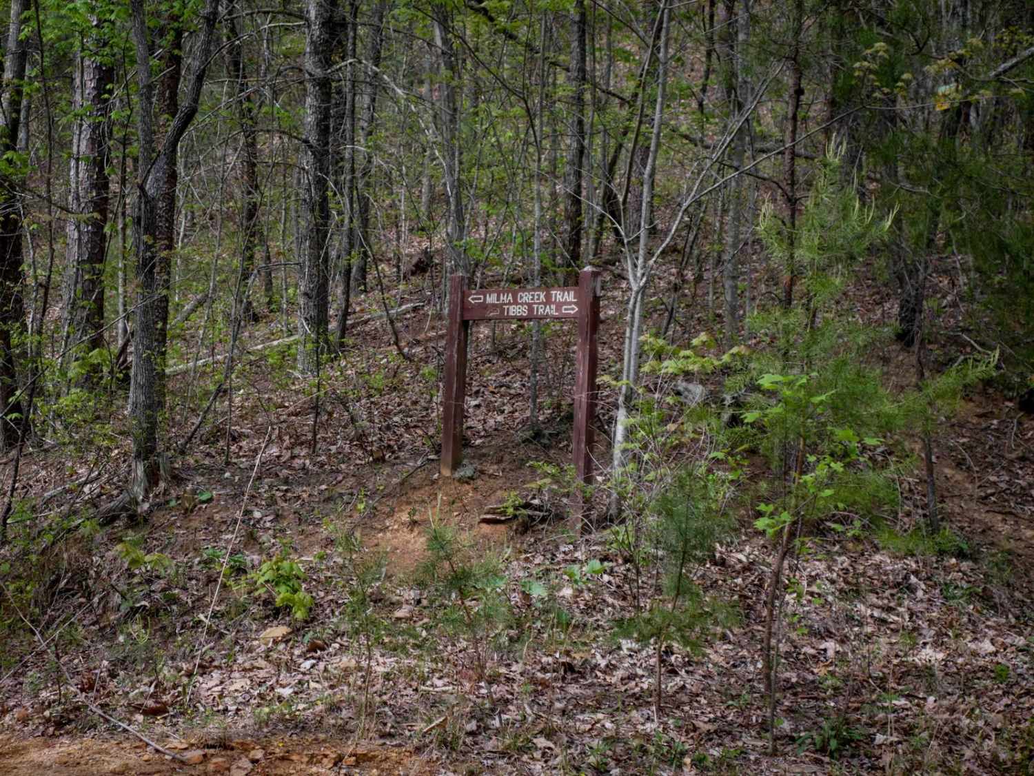
Trail Overview
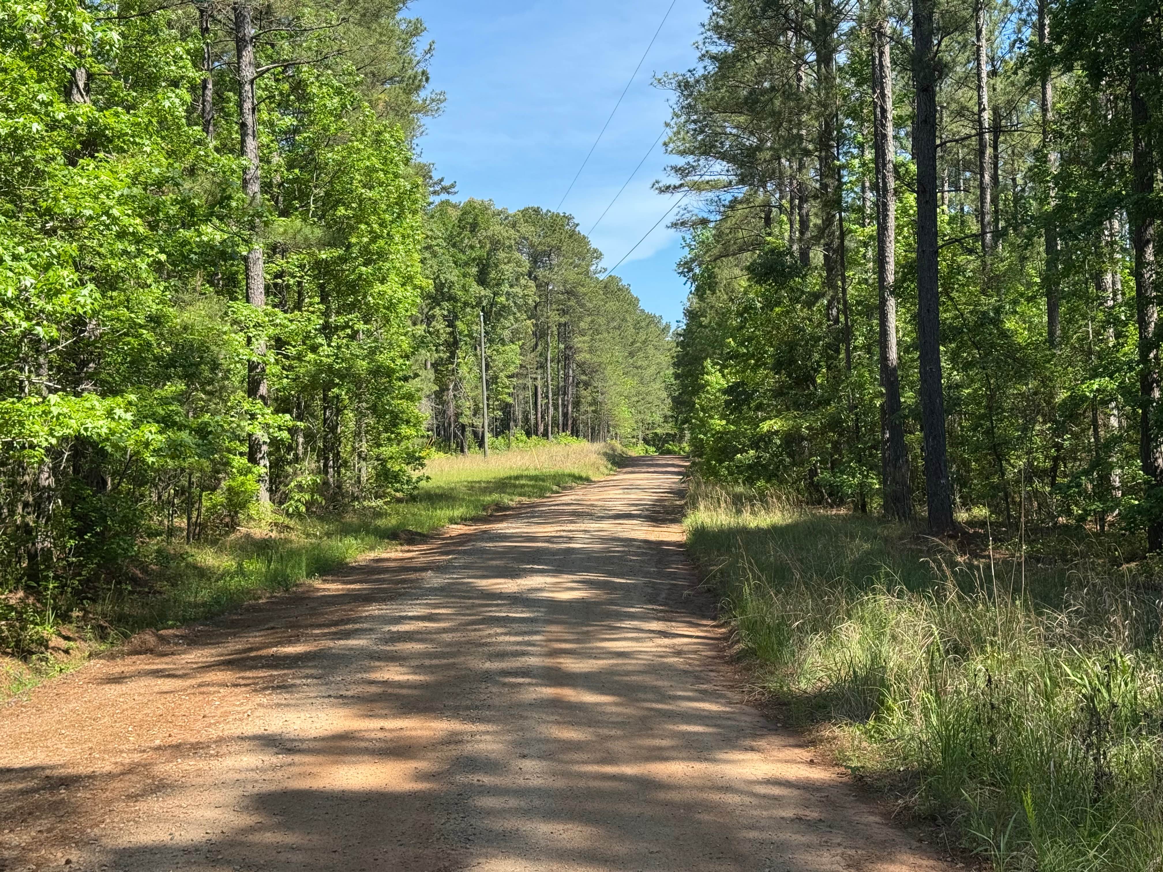
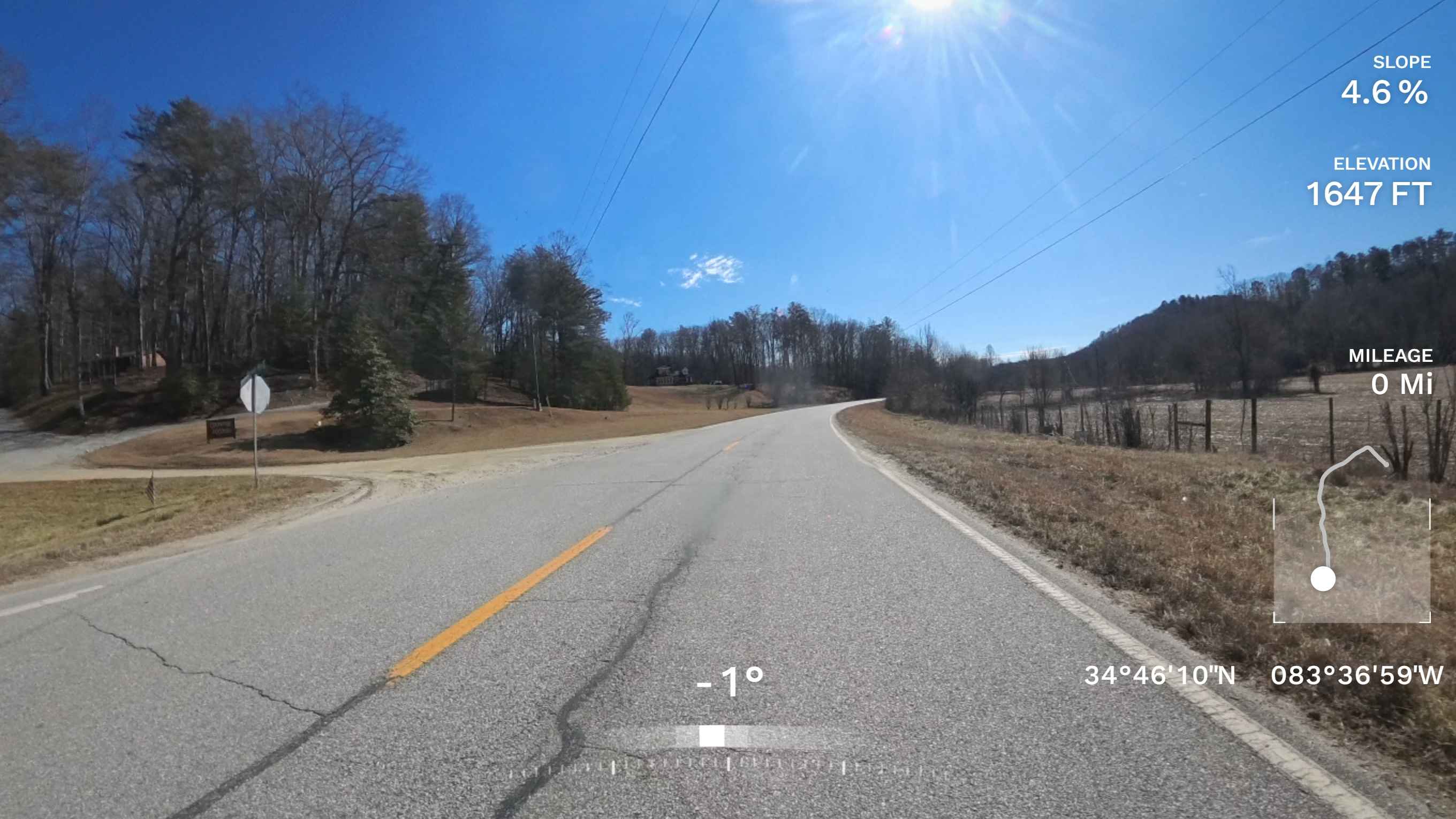
Tibbs ATV Trail is a 2.2-mile out-and-back route starting at a large intersection with Milma Creek Trail. The northern section has been decommissioned and no longer connects to the Tibbs ORV Trailhead, according to the Forest Service. The trail is a wide, shelfy two-track traversing the mountainside, descending 750 feet from north to south. While mostly gradual, some sections are steep. Expect big rollers that can be fun on an ATV, but note the trail ends at a gate with an "End ATV Trail" sign and does not continue all the way back to Old CCC Camp Road. This is a similar difficulty to both Milma Creek and Windy Gap, thus making a fun half-day ride for ATV riders of any skill level.
Photos of Tibbs ATV

Difficulty
This is an easy ATV trail with manageable features such as ruts, small rocks and shelfy sections.
Status Reports
Tibbs ATV can be accessed by the following ride types:
- ATV (50")
- Dirt Bike
Tibbs ATV Map
Popular Trails

Trail to Miller Landing
Island Road
Firetower Road
Kennedy Mountain Road 248
The onX Offroad Difference
onX Offroad combines trail photos, descriptions, difficulty ratings, width restrictions, seasonality, and more in a user-friendly interface. Available on all devices, with offline access and full compatibility with CarPlay and Android Auto. Discover what you’re missing today!