Sprewell Bluff Ridge Trail
Total Miles
4.1
Technical Rating
Best Time
Spring, Summer, Fall, Winter
Trail Type
Full-Width Road
Accessible By
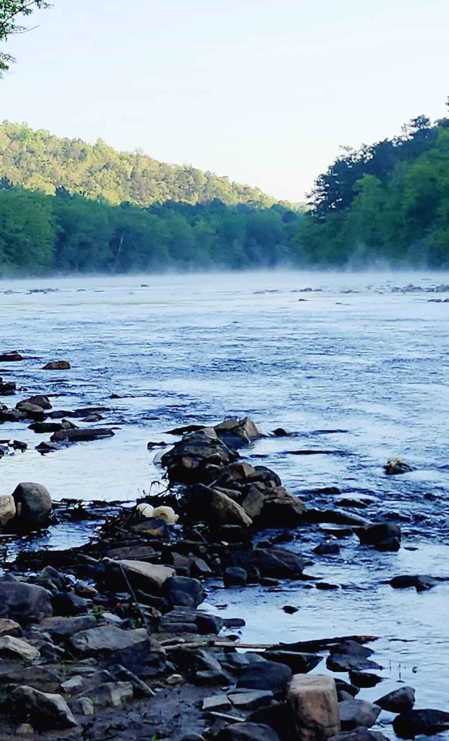
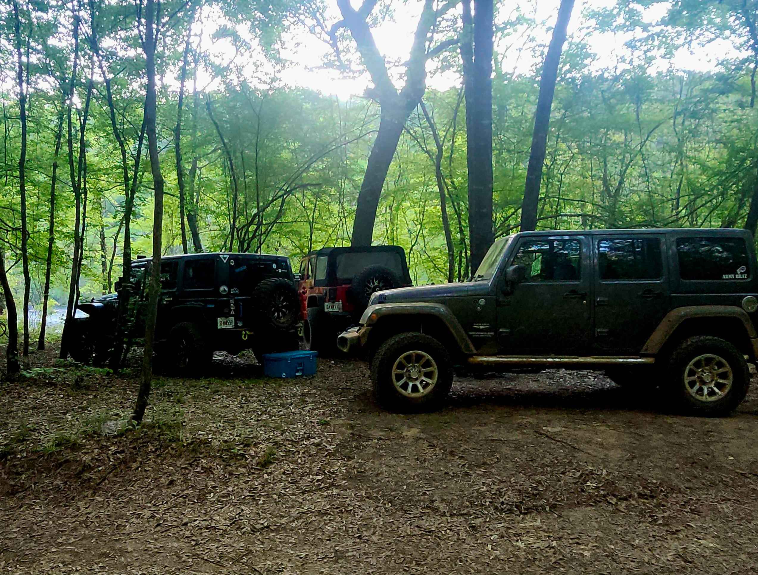
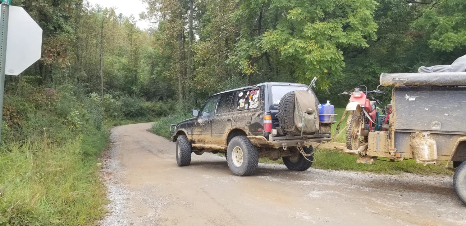
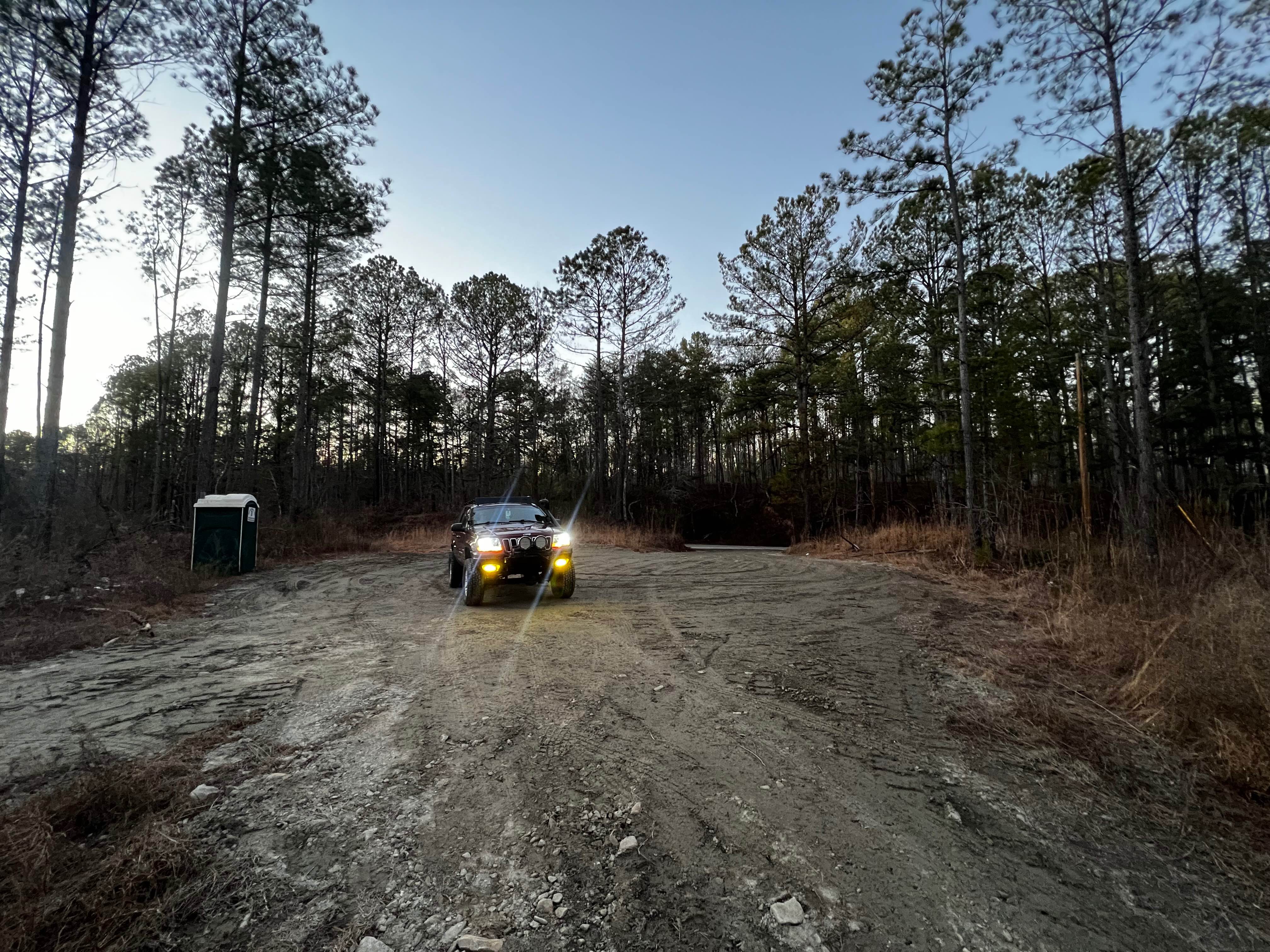
Trail Overview
This 4-mile in and out route winds through Sprewell Bluff WMA's along the rolling Georgia foothills, offering packed dirt, gravel, and loose rocks with rutted sections and scattered rock gardens. Gentle to Steep slopes reveal sweeping ridge views of nearby Pine Mountain and Georgia's foothills, along with the rolling terrain within the WMA, and end under a valleyed, canopied, shaded, secluded, and small campground along the Flint River. Scenic twists and wildlife sightings make it a spirited offroad excursion requiring high clearance and 4WD, depending on the ever-changing terrain, when the weather is wet, as it can become slippery and more treacherous. Camping is first come first serve and a permit through GADNR.org is required when entering the WMA. The camp sites are generously sized and allow for 2-3 rigs comfortably with easy pathed access for fishing, swimming, or lounging along the riverbank.
Photos of Sprewell Bluff Ridge Trail
Difficulty
steep grades throughout the route with washouts, ruts, rock gardens with significant loose rocks, making high clearance required and 4WD depending on weather conditions. Campsites along the river are canopied, where long-standing puddles and softer terrain are evident.
History
The Flint River and this area were home to the Creek Indian Nation. Flint comes from the Creek word "Thronateeska". The WMA was developed in the 1970's and is located at the 3 corners of Upson, Meriwether & Talbot Counties along both sides of the Flint River. Home to several unique plants and trees like the huge longleaf pines and a sanctuary for the endangered Red Cockeyed Woodpecker and other wildlife like deer, hog & turkey.
Sprewell Bluff Ridge Trail can be accessed by the following ride types:
- High-Clearance 4x4
- SUV
Sprewell Bluff Ridge Trail Map
Popular Trails
Winding Stair Mountain Trail

Finney Creek - FS 152
Etowah River Access
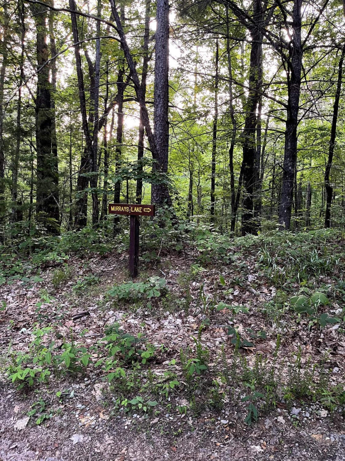
Murray's Lake
The onX Offroad Difference
onX Offroad combines trail photos, descriptions, difficulty ratings, width restrictions, seasonality, and more in a user-friendly interface. Available on all devices, with offline access and full compatibility with CarPlay and Android Auto. Discover what you’re missing today!