Raper Creek Road - FS 376
Total Miles
1.0
Technical Rating
Best Time
Spring, Winter, Fall, Summer
Trail Type
Full-Width Road
Accessible By
Trail Overview
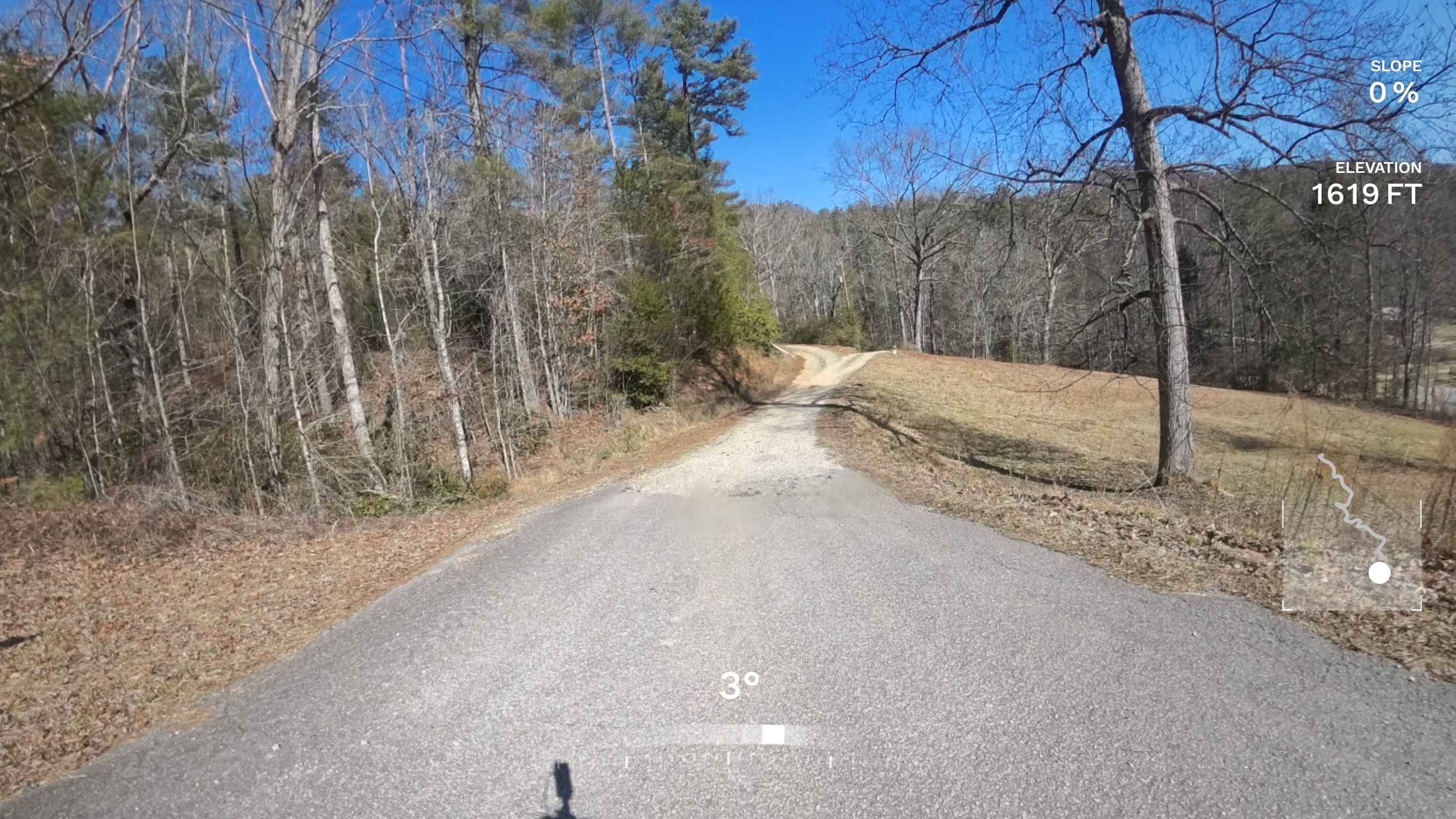
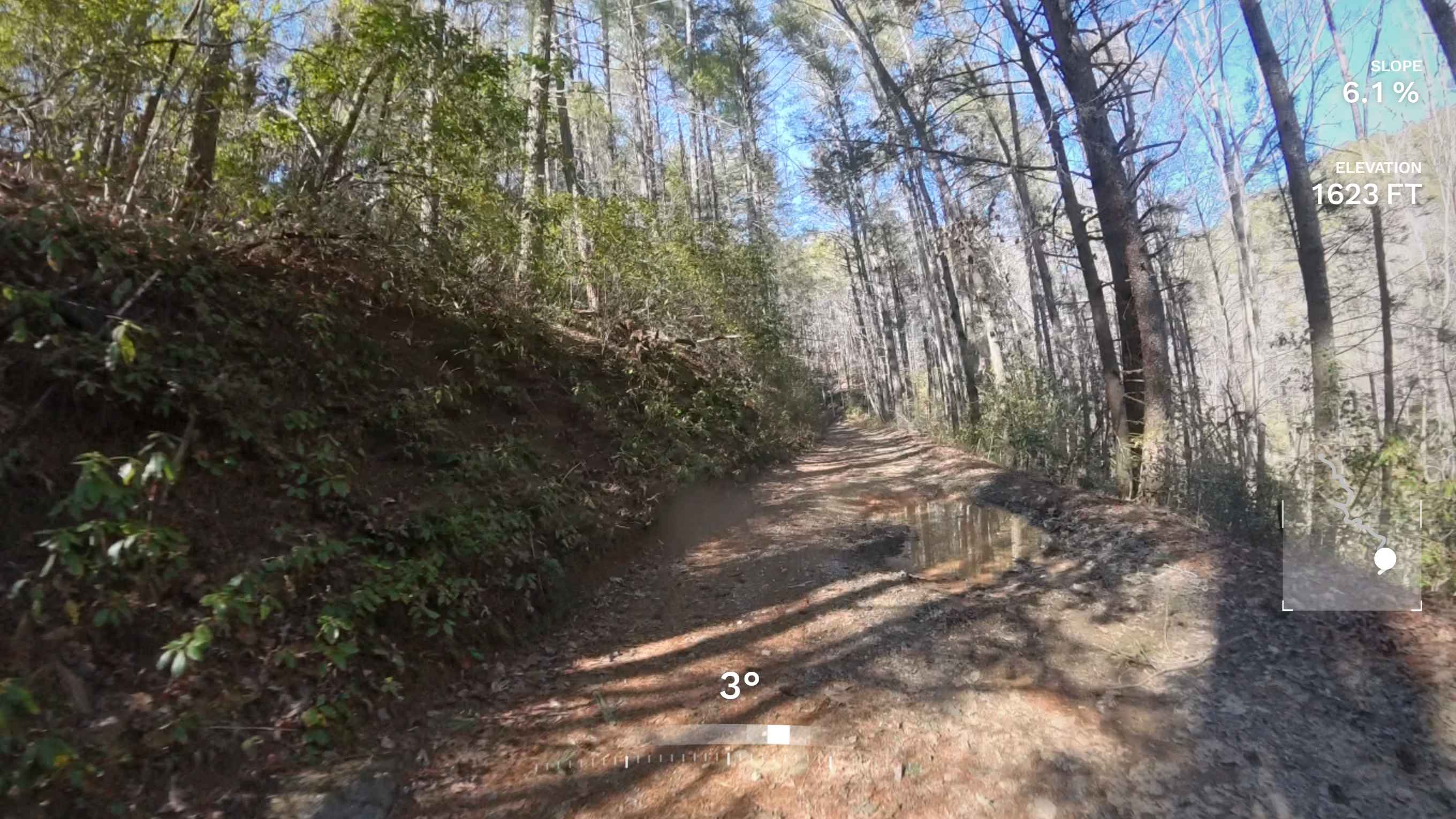
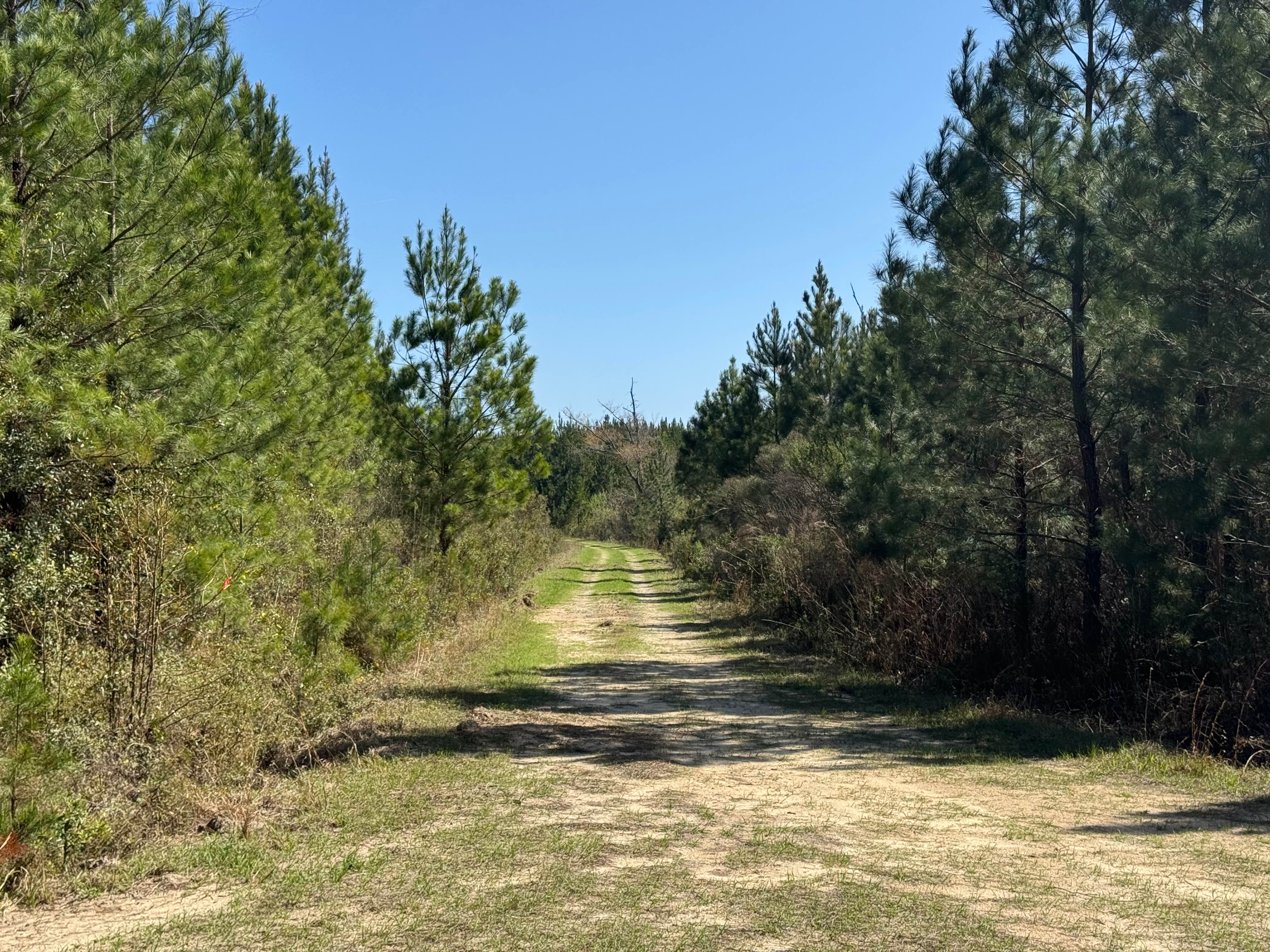
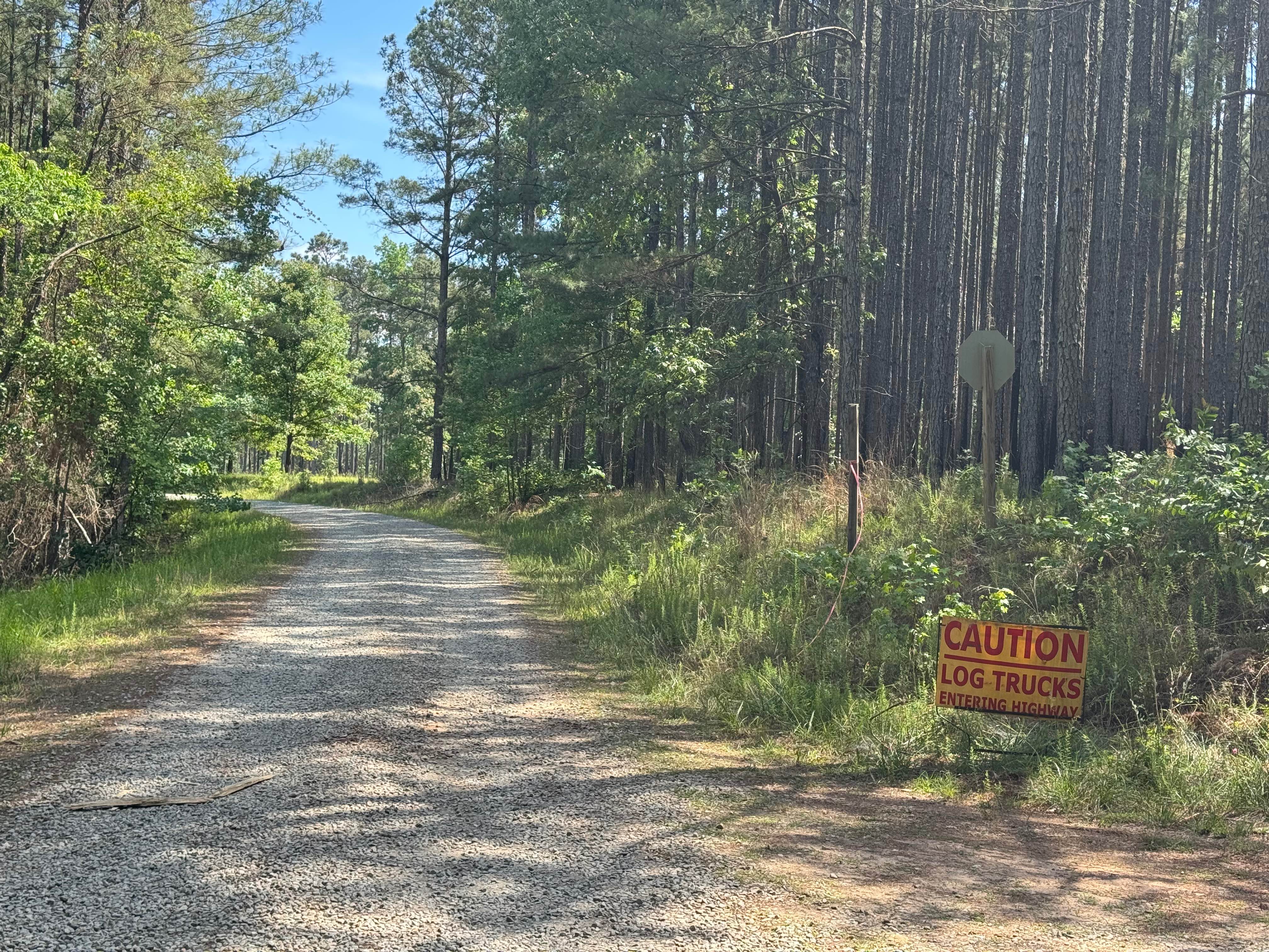
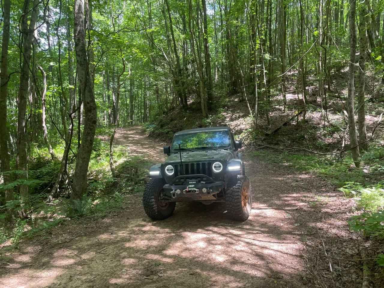
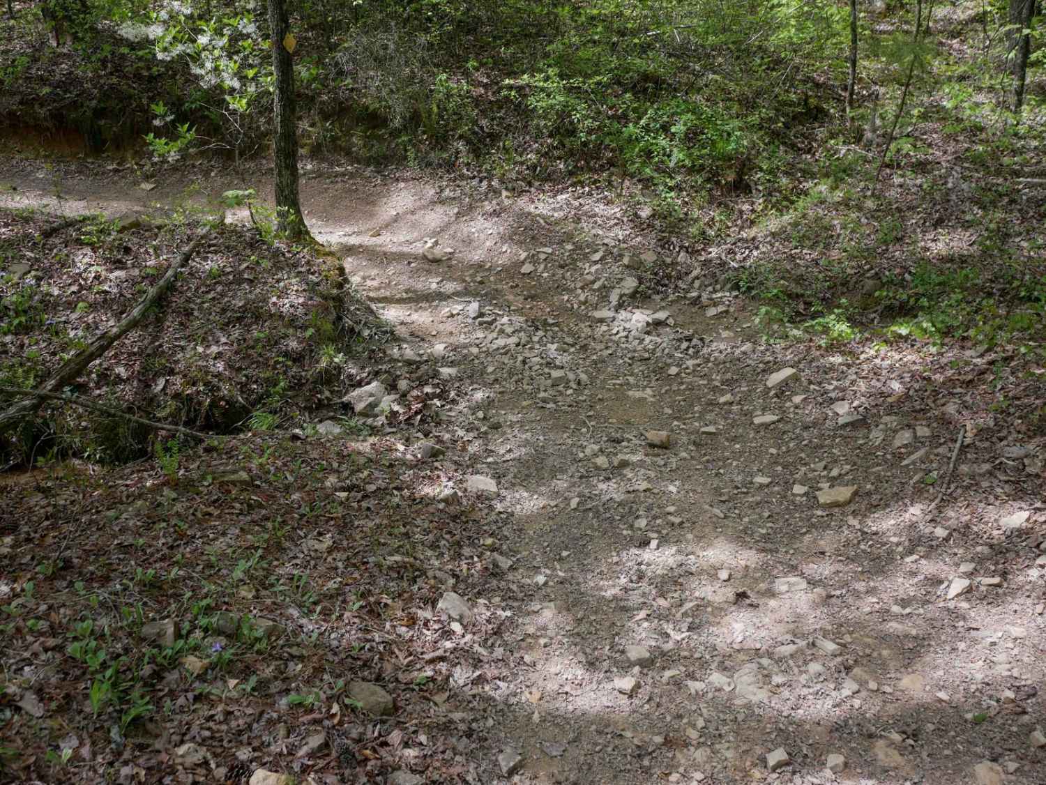
This is an easy out-and-back gravel and dirt trail that loosely follows alongside Raper Creek. At the entrance, stay to the left to avoid entering private property. The road is typical of most Forest Service roads in the area--primarily single-lane with a few minor washouts and small, shallow mud holes. Most vehicles should be able to navigate it without difficulty. At the end of the trail, you'll find a gate that provides access to a hiking trail. There are also several pleasant spots along the route, including, at the end, a suitable spot for dispersed camping or a daytime picnic beside the creek. Cell phone service is limited and sporadic, so plan accordingly before heading out.
Photos of Raper Creek Road - FS 376
Difficulty
This is a very easy gravel and dirt road that all vehicles will be able to traverse.
Raper Creek Road - FS 376 can be accessed by the following ride types:
- High-Clearance 4x4
- SUV
Raper Creek Road - FS 376 Map
Popular Trails
Lomo Field Road
Union Hill Church - FS 1040
Bryson Gap FS 766A
Plantation Ridge
The onX Offroad Difference
onX Offroad combines trail photos, descriptions, difficulty ratings, width restrictions, seasonality, and more in a user-friendly interface. Available on all devices, with offline access and full compatibility with CarPlay and Android Auto. Discover what you’re missing today!