Firetower Road
Total Miles
2.7
Technical Rating
Best Time
Spring, Summer, Fall, Winter
Trail Type
Full-Width Road
Accessible By
Trail Overview
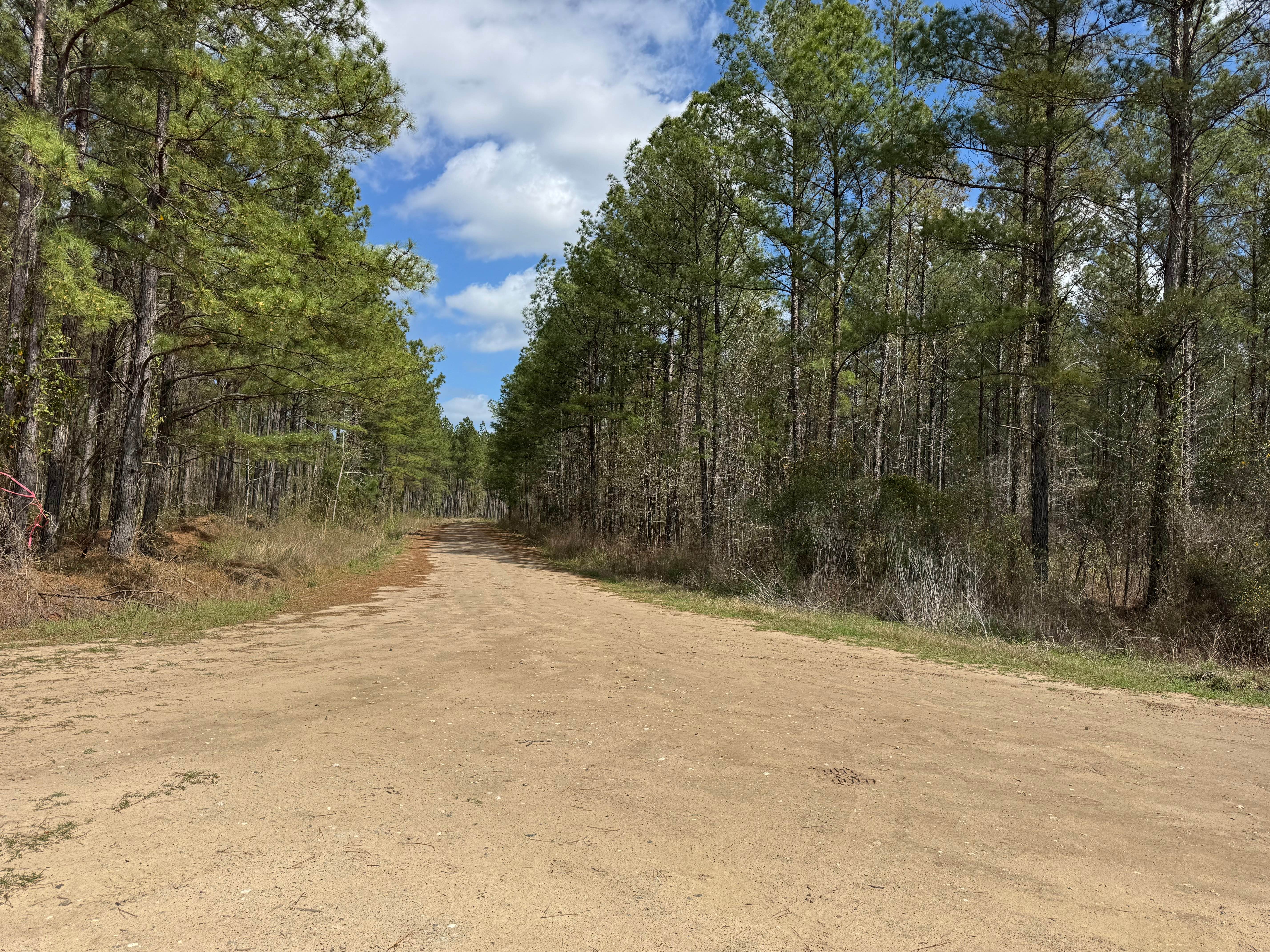
Firetower Road is a two and a half mile point-to-point road through the Cedar Creek WMA section of the Oconee National Forest. It passes through several private properties along the southern end. Watch for a small cemetery plot along the western right-of-way in this area. Markers date from the early 1800s. The road is a generous one lane wide with plenty of room to pass. The roadbed is packed dirt and Georgia clay with a generous topping of gravel, making it safe for just about any vehicle.
Photos of Firetower Road
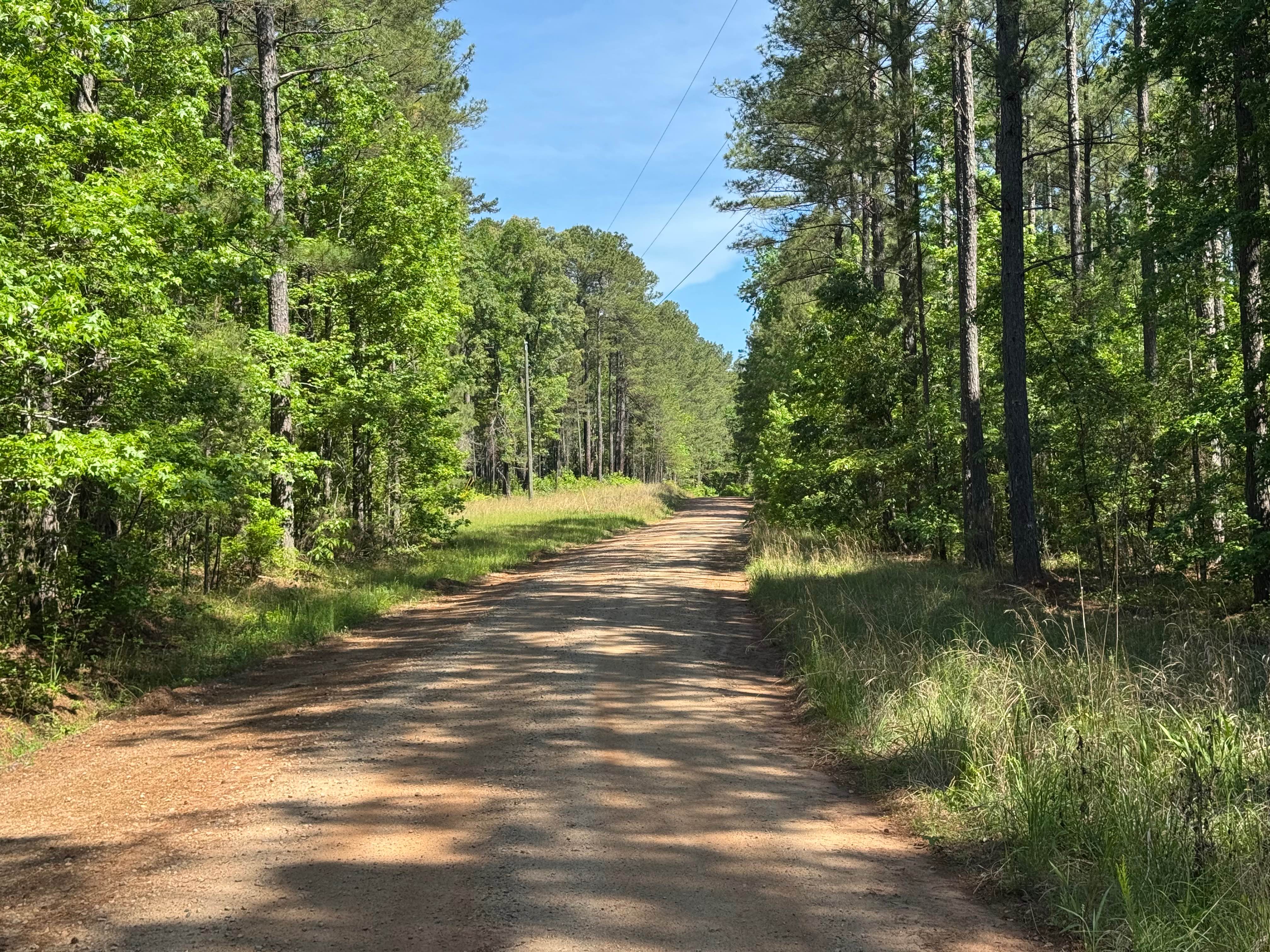
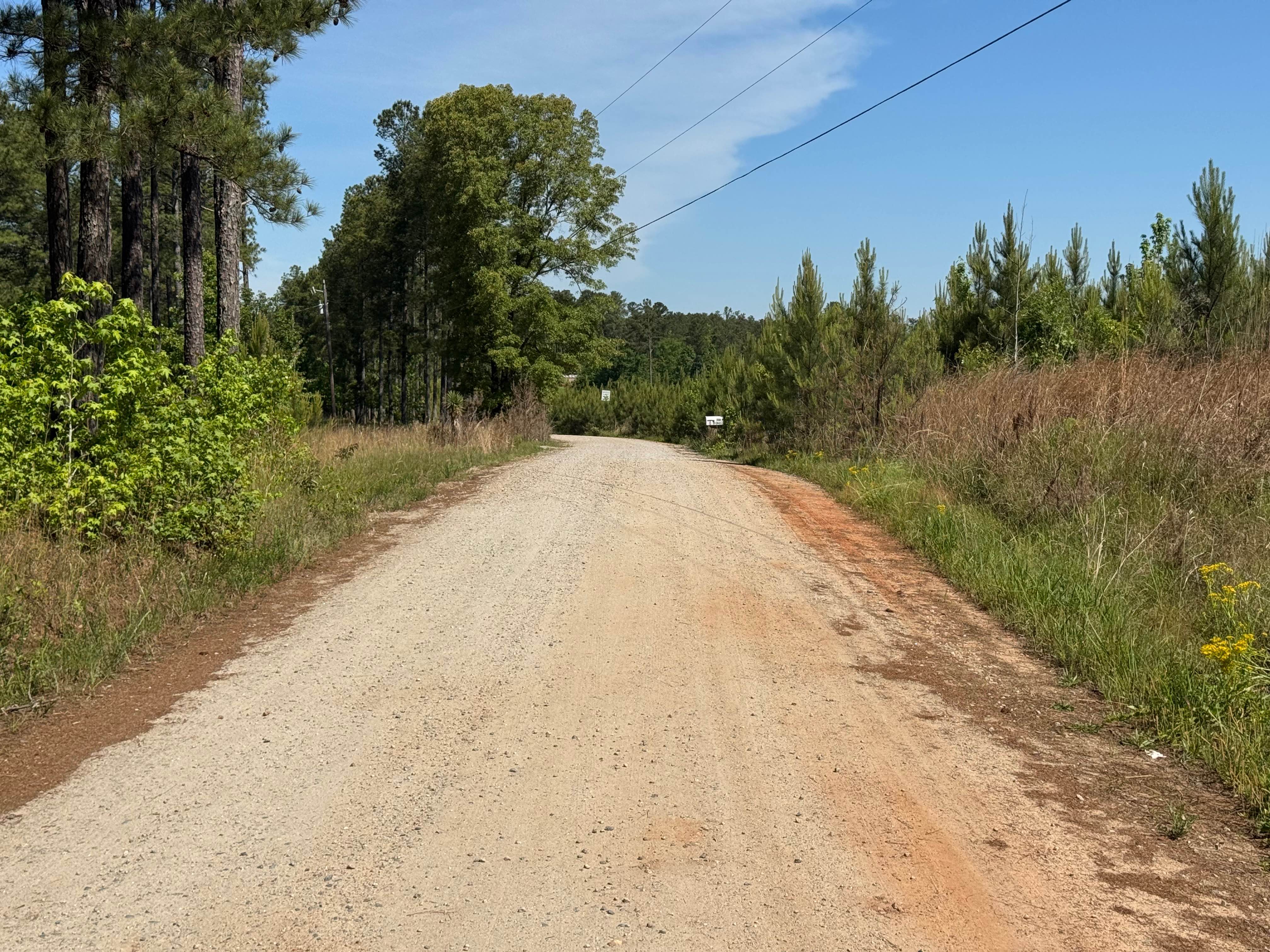
Difficulty
This is a generous one lane wide road with plenty of places to pass.
Status Reports
Firetower Road can be accessed by the following ride types:
- High-Clearance 4x4
- SUV
Firetower Road Map
Popular Trails
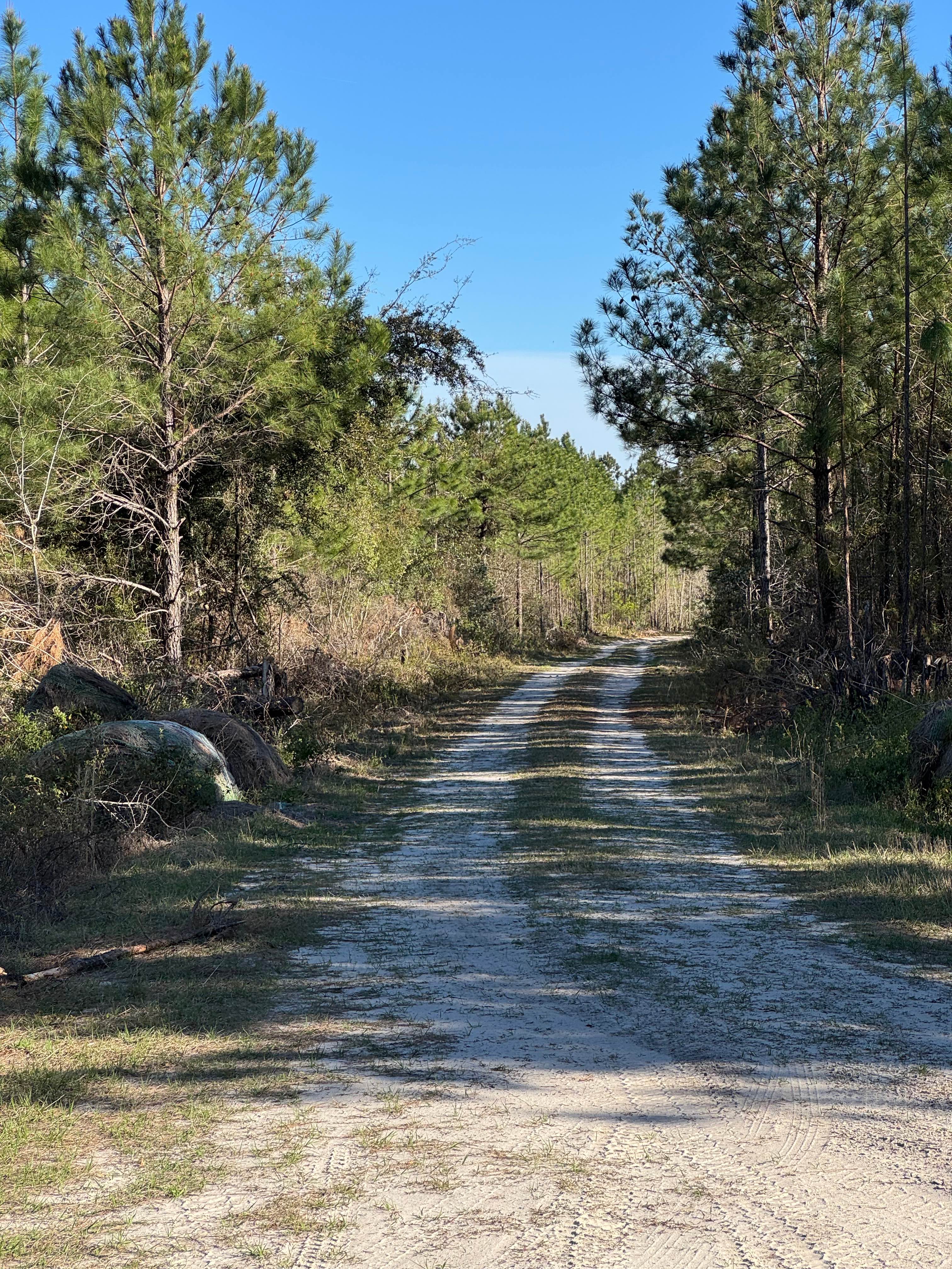

Sprewell Bluff Ridge Trail
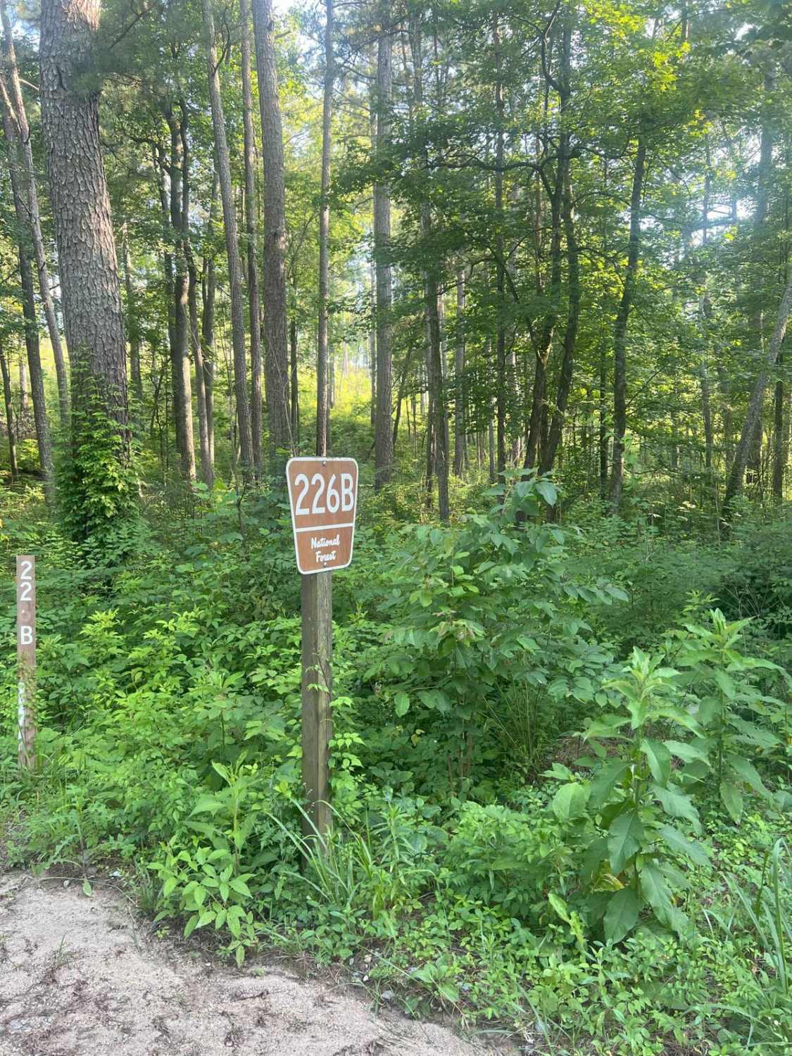
Dry Cr Branch B - Forest Road 226B
Gibson Island Road
The onX Offroad Difference
onX Offroad combines trail photos, descriptions, difficulty ratings, width restrictions, seasonality, and more in a user-friendly interface. Available on all devices, with offline access and full compatibility with CarPlay and Android Auto. Discover what you’re missing today!