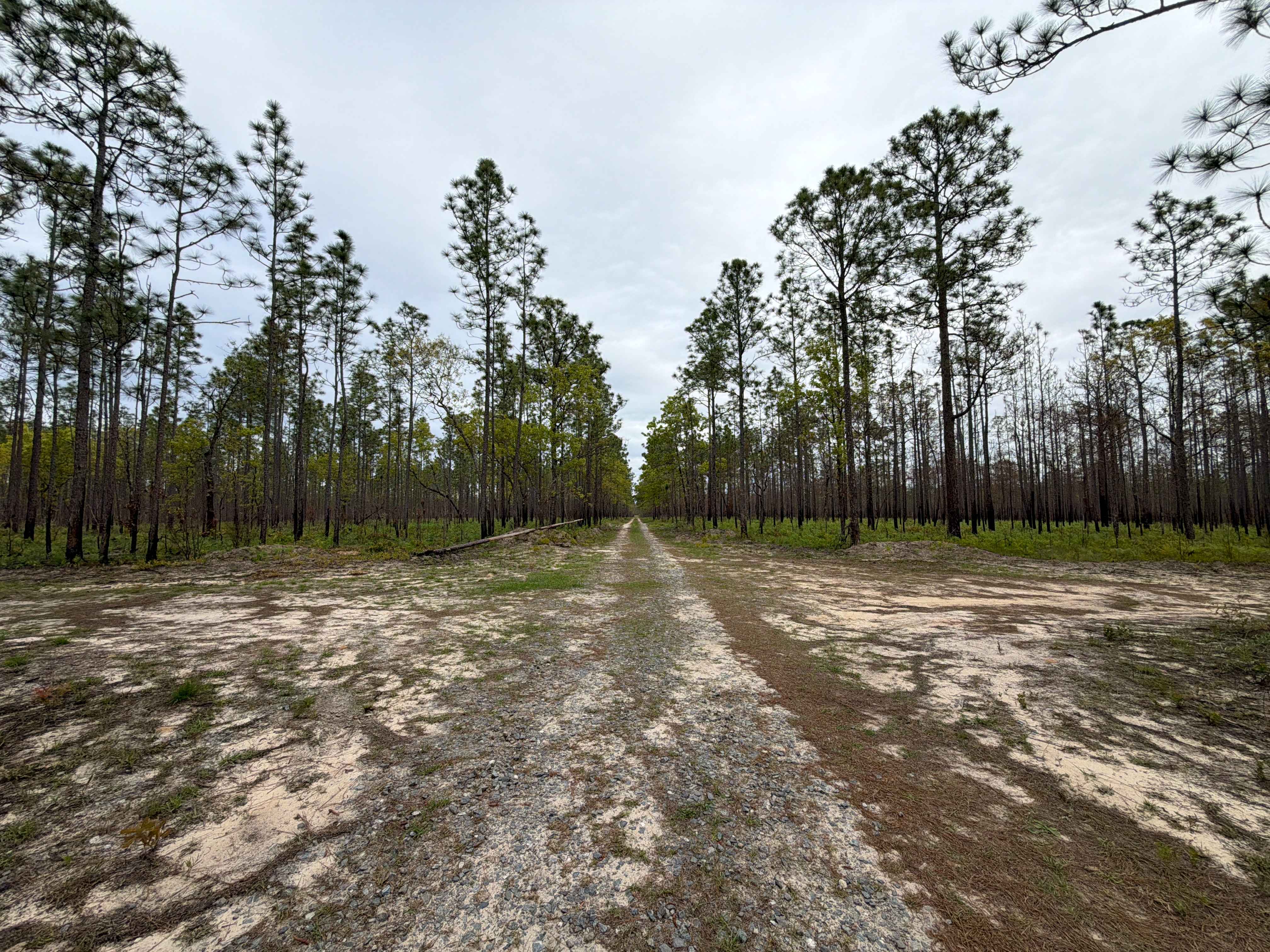
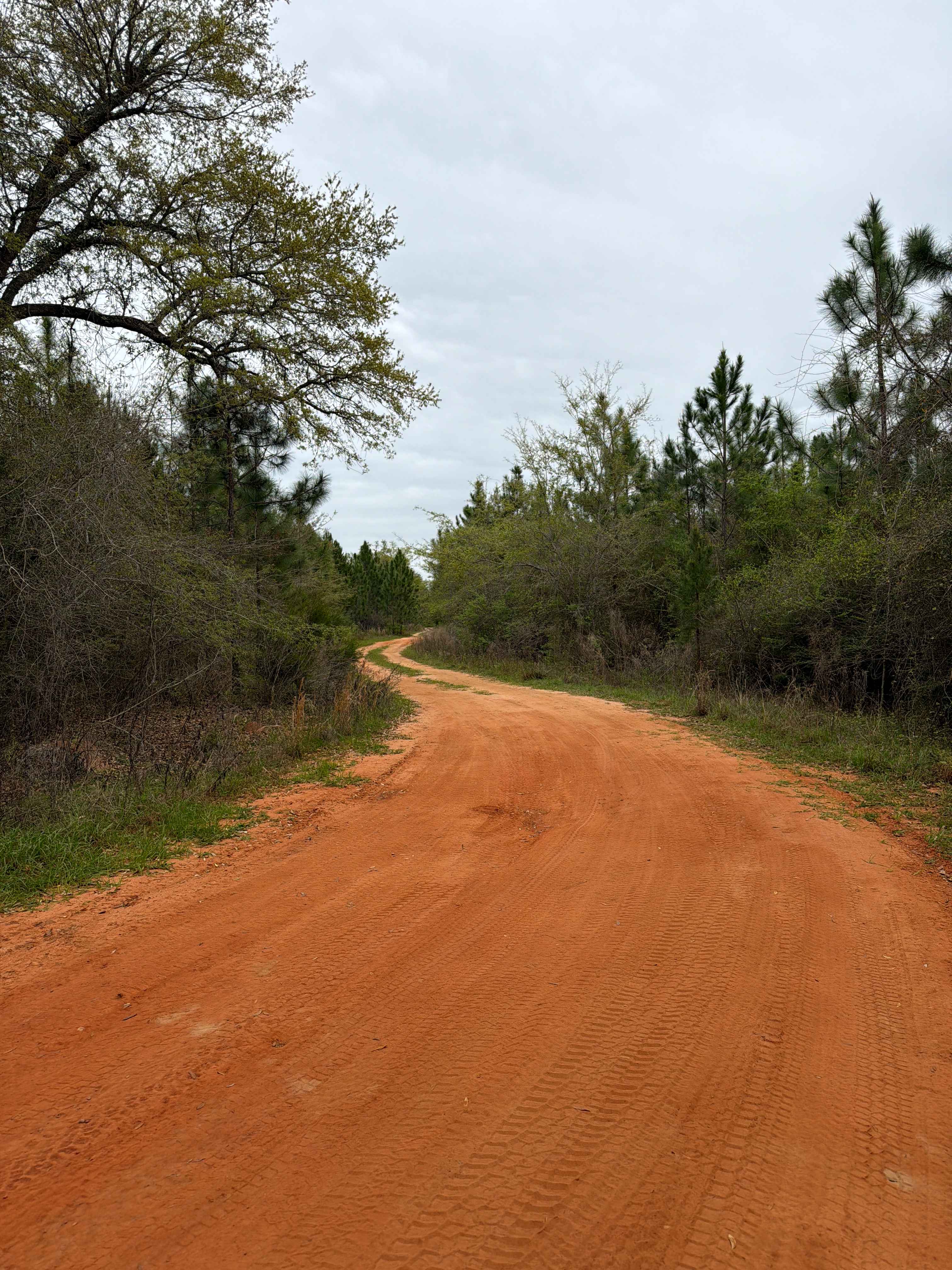
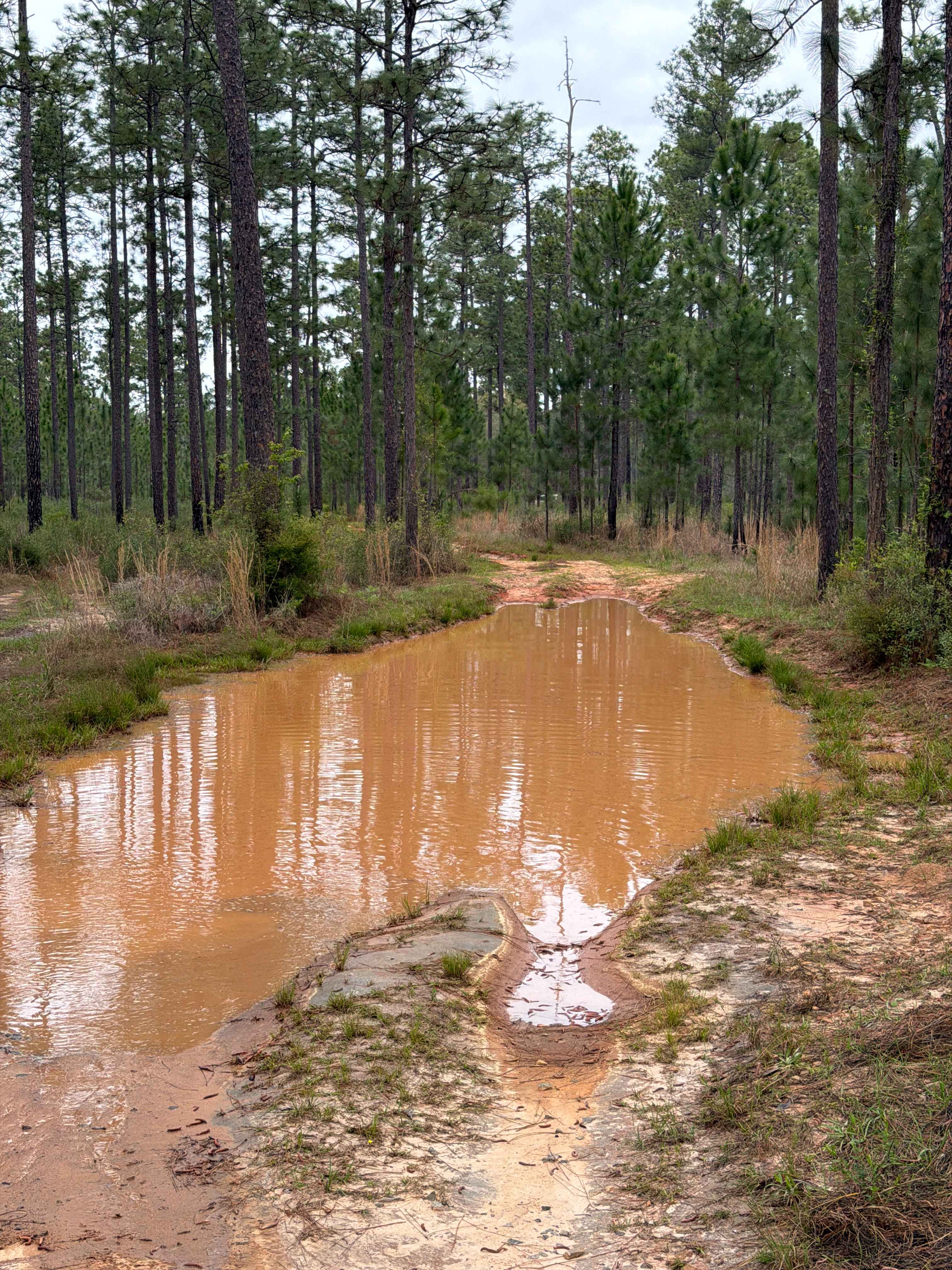
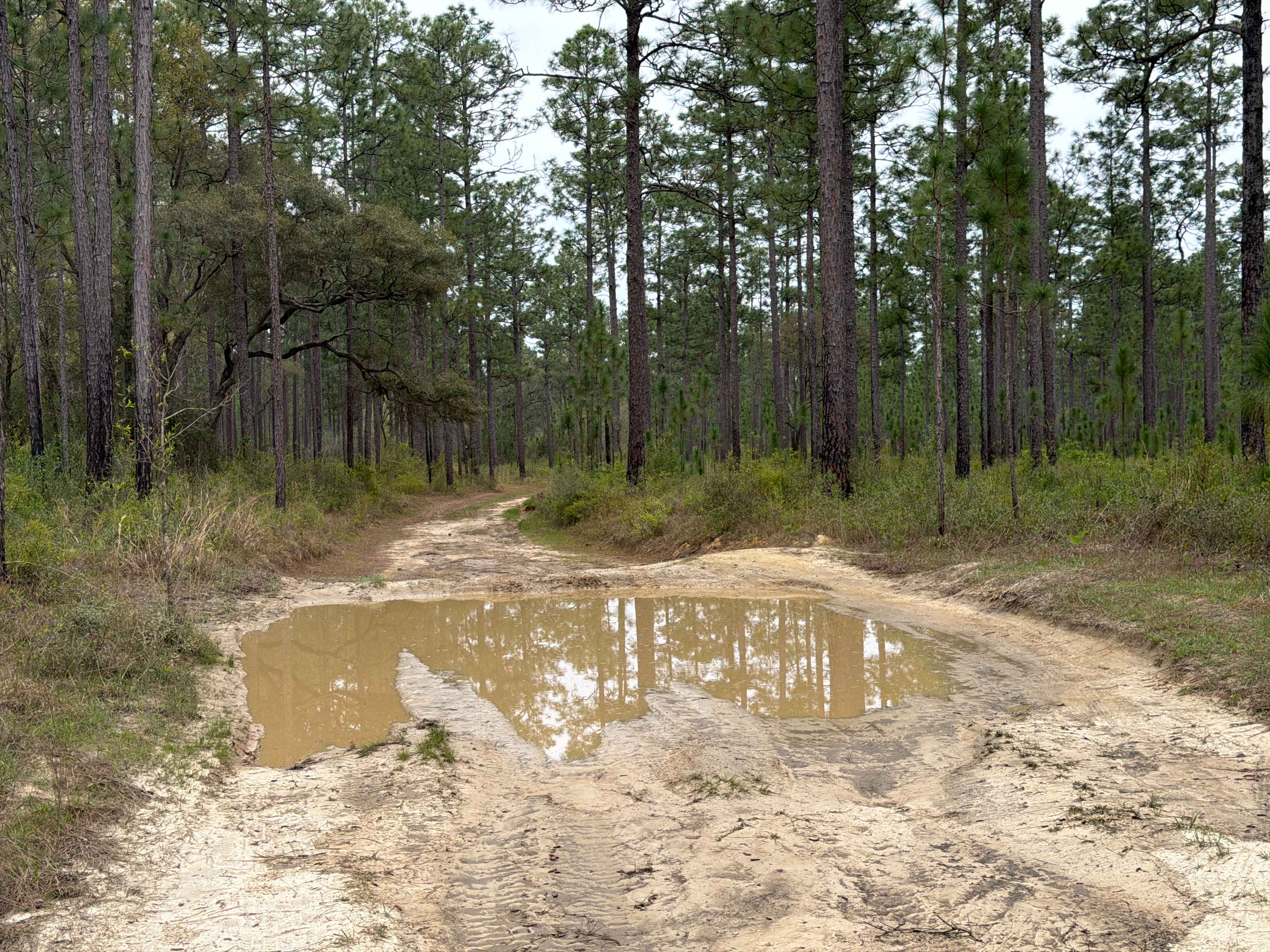
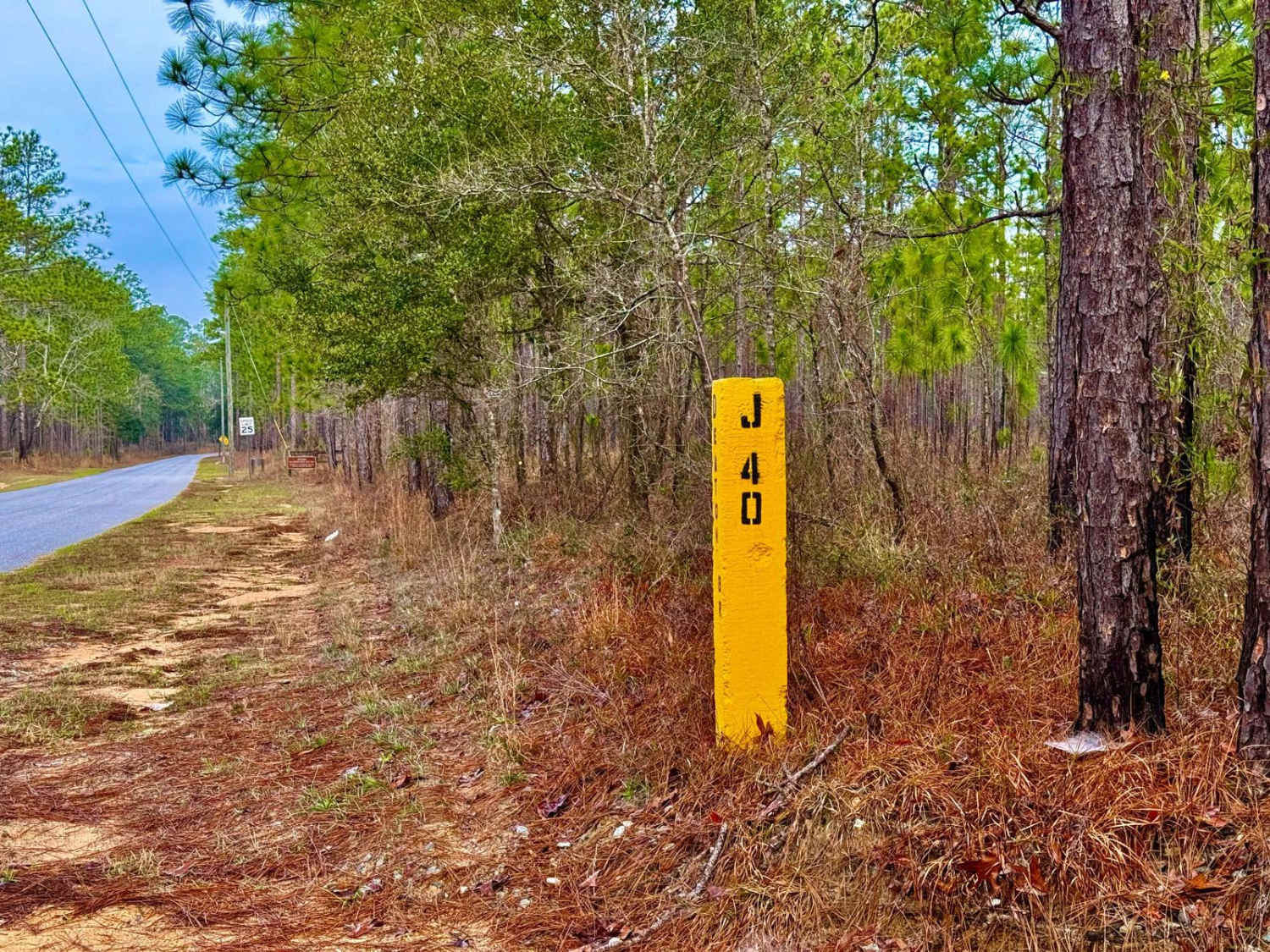
Off-Road Trails in Florida
Discover off-road trails in Florida
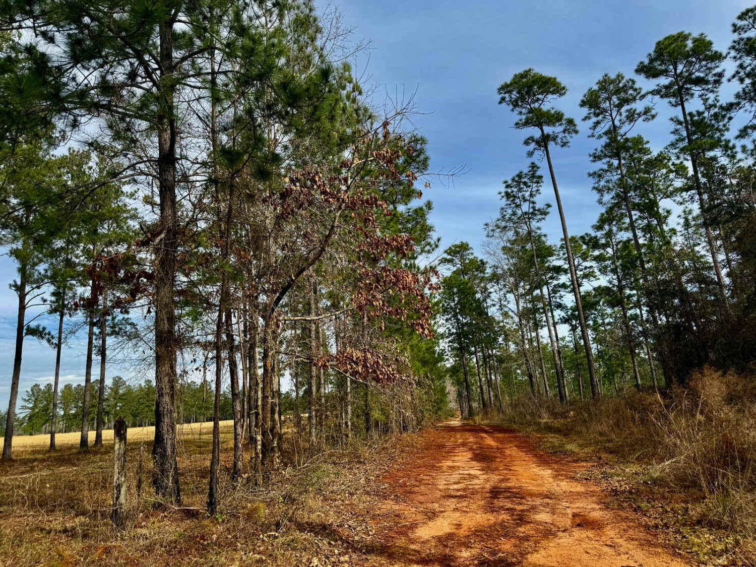
Learn more about Janes Memorial Scenic Drive
Janes Memorial Scenic Drive
Total Miles
6.3
Tech Rating
Easy
Best Time
Winter, Fall
Learn more about Jeep Trail - Grove Park South WMA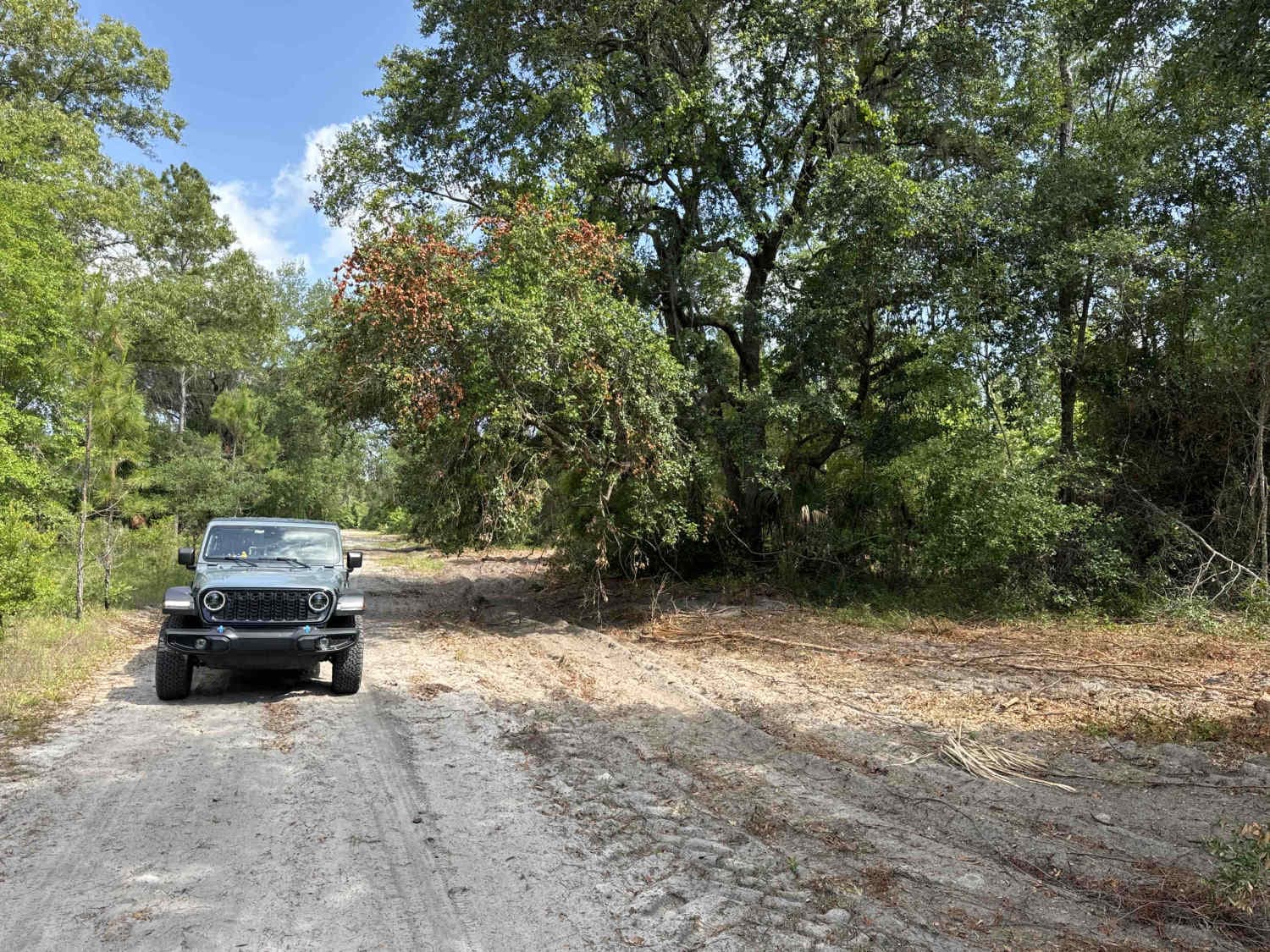
Jeep Trail - Grove Park South WMA
Total Miles
2.6
Tech Rating
Easy
Best Time
Spring, Fall, Winter
Learn more about Jeff Capp Road - C133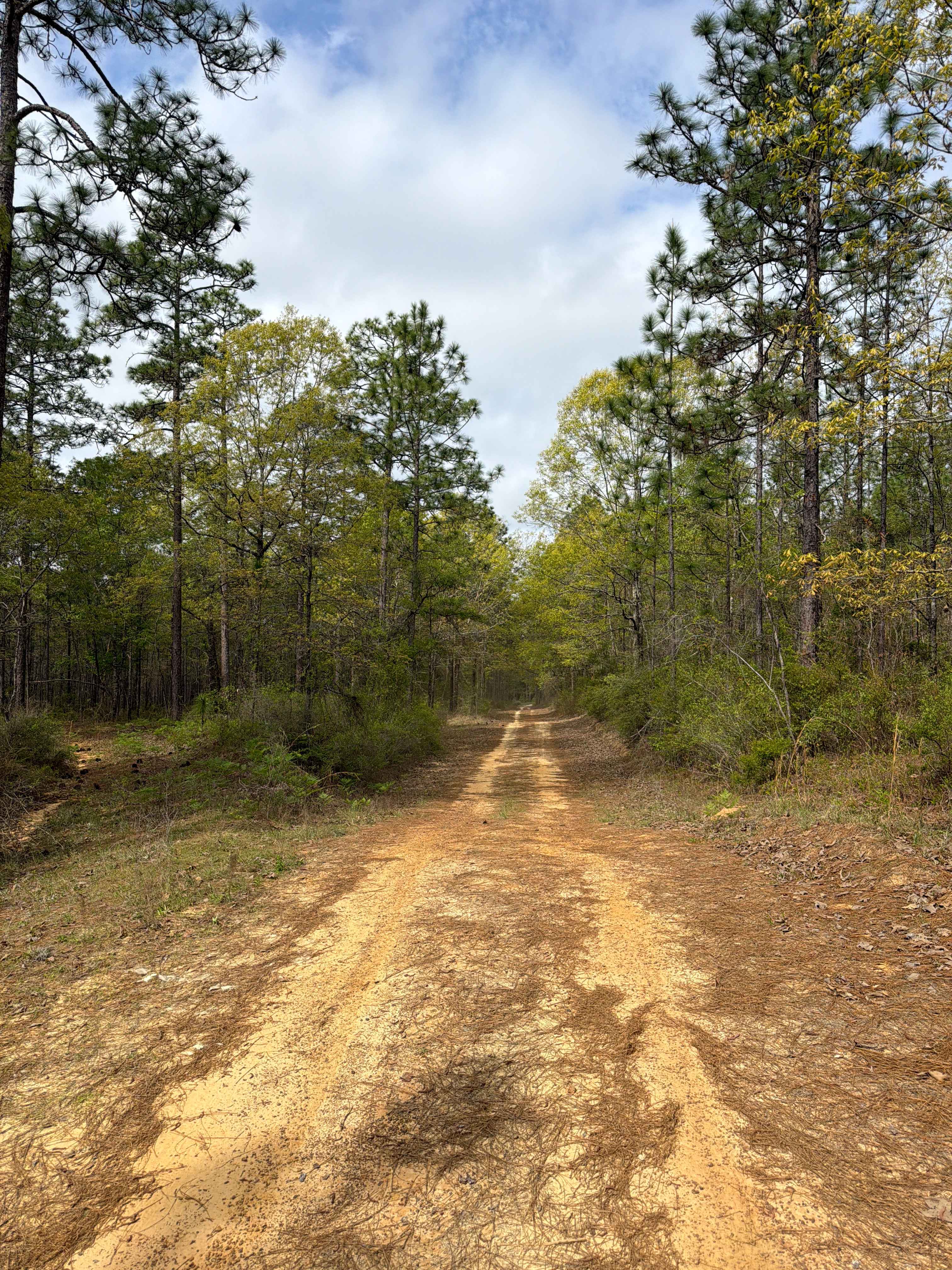
Jeff Capp Road - C133
Total Miles
2.1
Tech Rating
Moderate
Best Time
Spring, Fall, Winter
Learn more about Jeff Sanders Road
Jeff Sanders Road
Total Miles
8.1
Tech Rating
Easy
Best Time
Spring, Fall, Winter
Learn more about Jensen - FS 112-H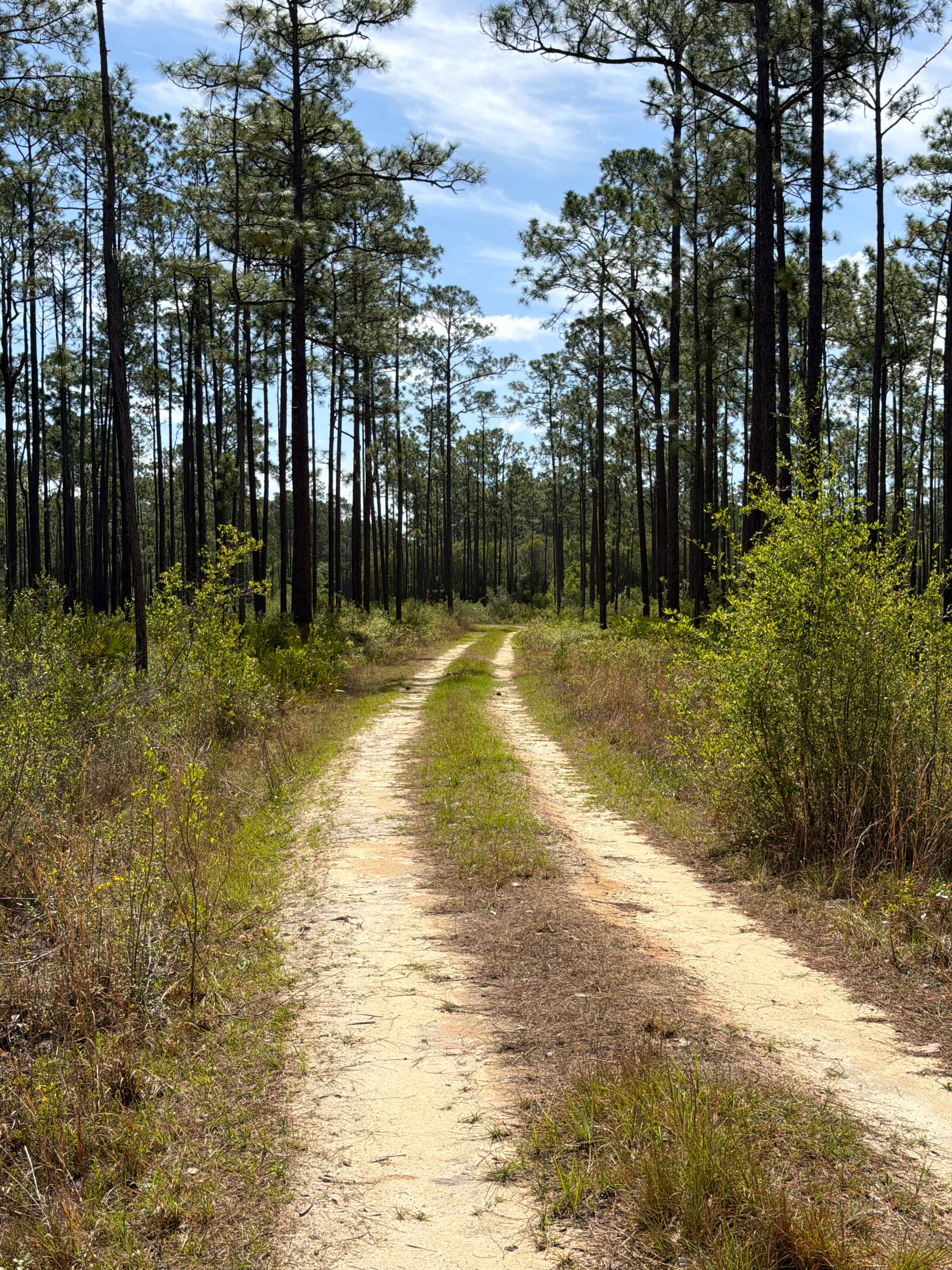
Jensen - FS 112-H
Total Miles
1.6
Tech Rating
Easy
Best Time
Winter, Fall, Spring
Learn more about Jet Engine Road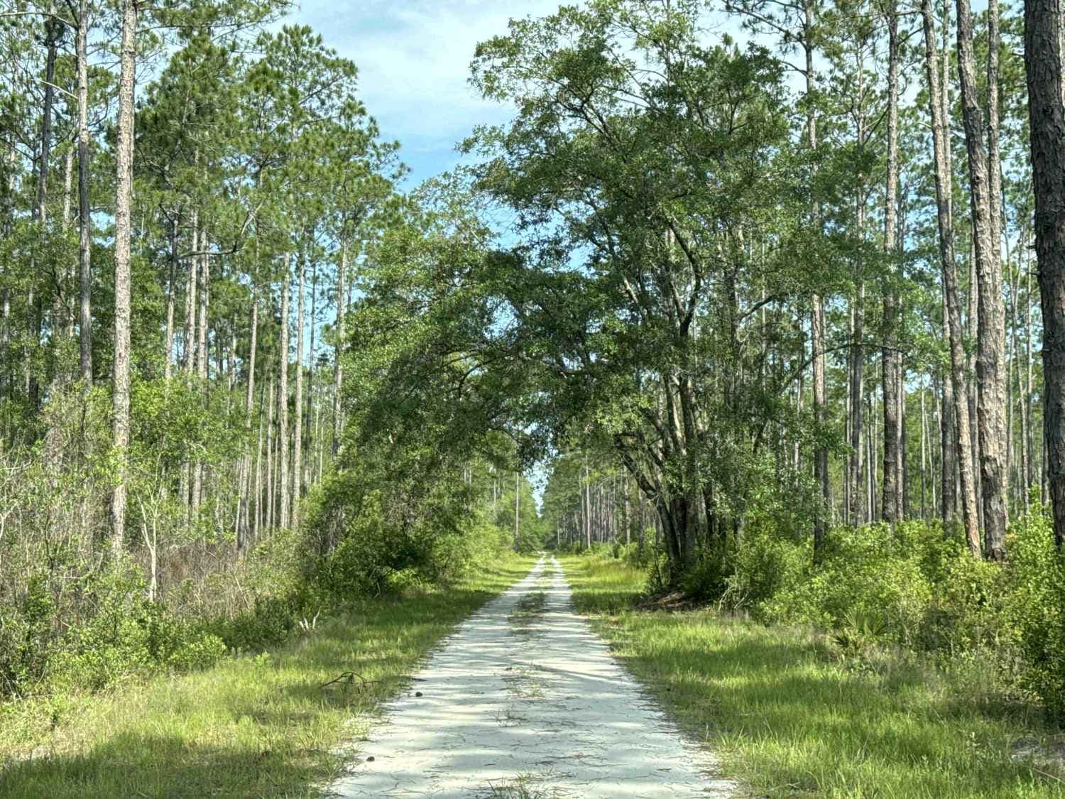
Jet Engine Road
Total Miles
6.7
Tech Rating
Easy
Best Time
Winter, Fall, Spring
Learn more about John Allen Road
John Allen Road
Total Miles
2.8
Tech Rating
Easy
Best Time
Spring, Summer, Winter, Fall
Learn more about John T. Childers Road - ONF 53
John T. Childers Road - ONF 53
Total Miles
3.2
Tech Rating
Easy
Best Time
Winter, Fall, Spring
Learn more about Johnny Parker Road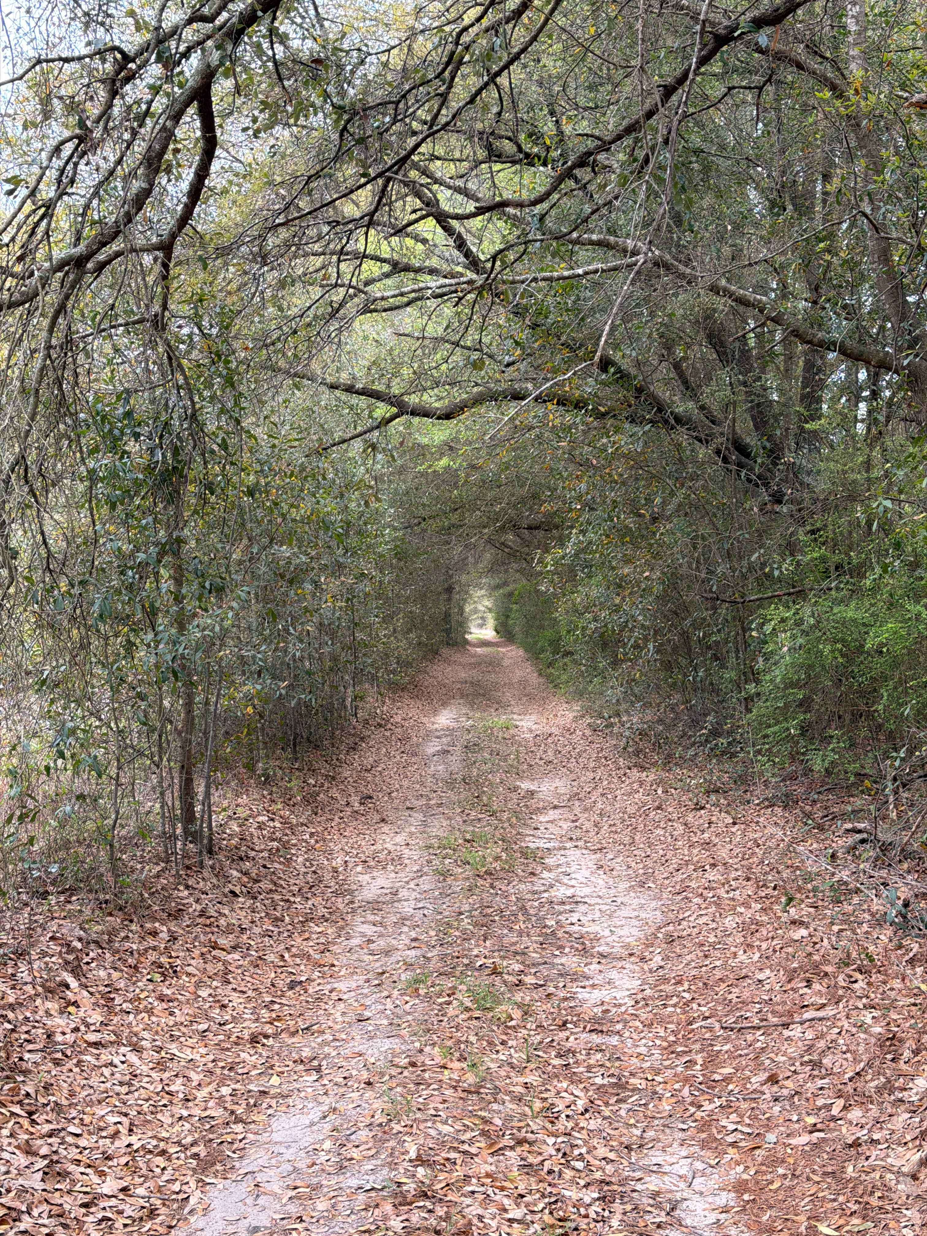
Johnny Parker Road
Total Miles
2.2
Tech Rating
Easy
Best Time
Spring, Fall, Winter
Learn more about Judy - FS 174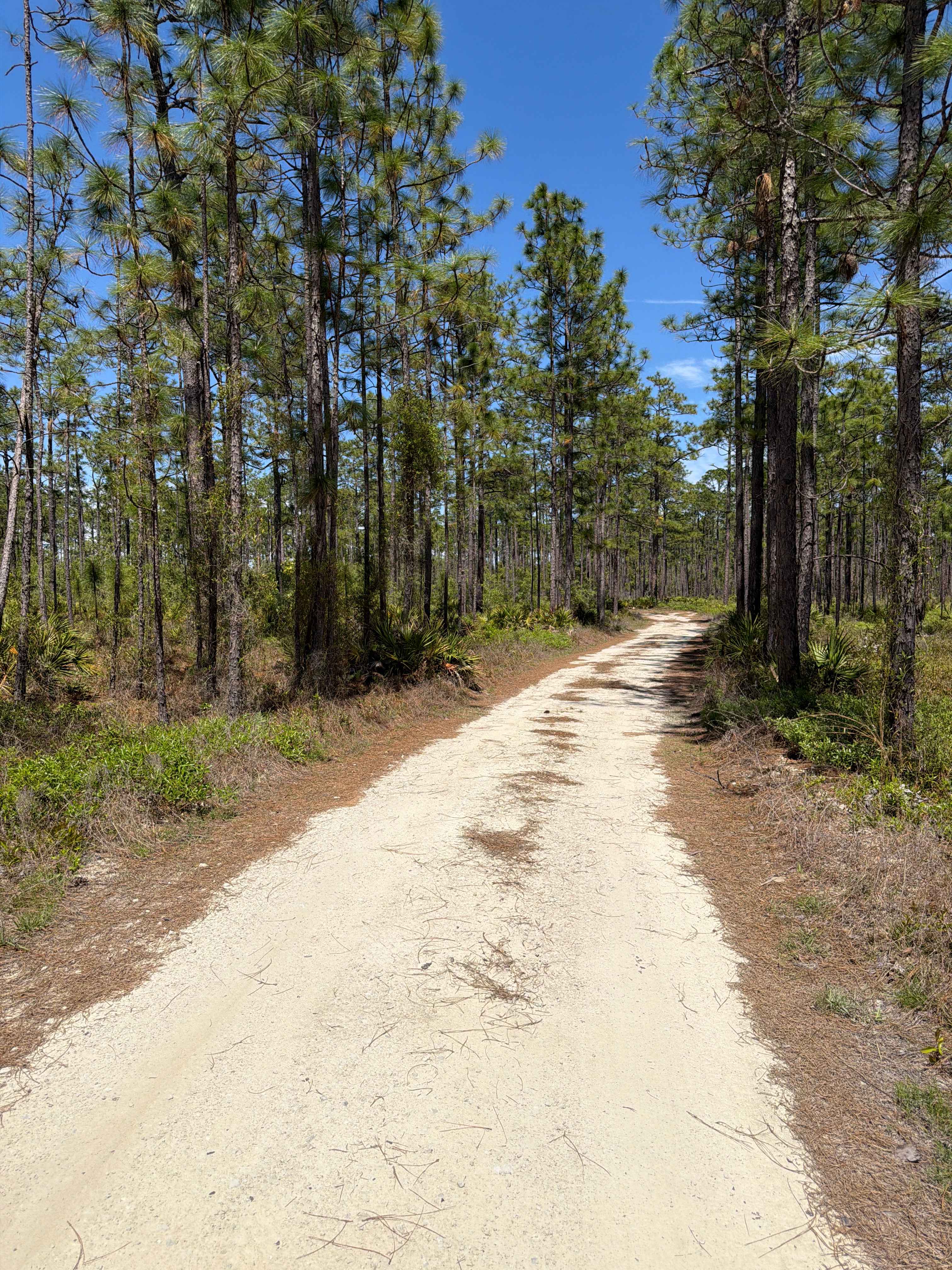
Judy - FS 174
Total Miles
3.0
Tech Rating
Easy
Best Time
Spring, Fall, Winter
Learn more about Jumper Creek - FS 34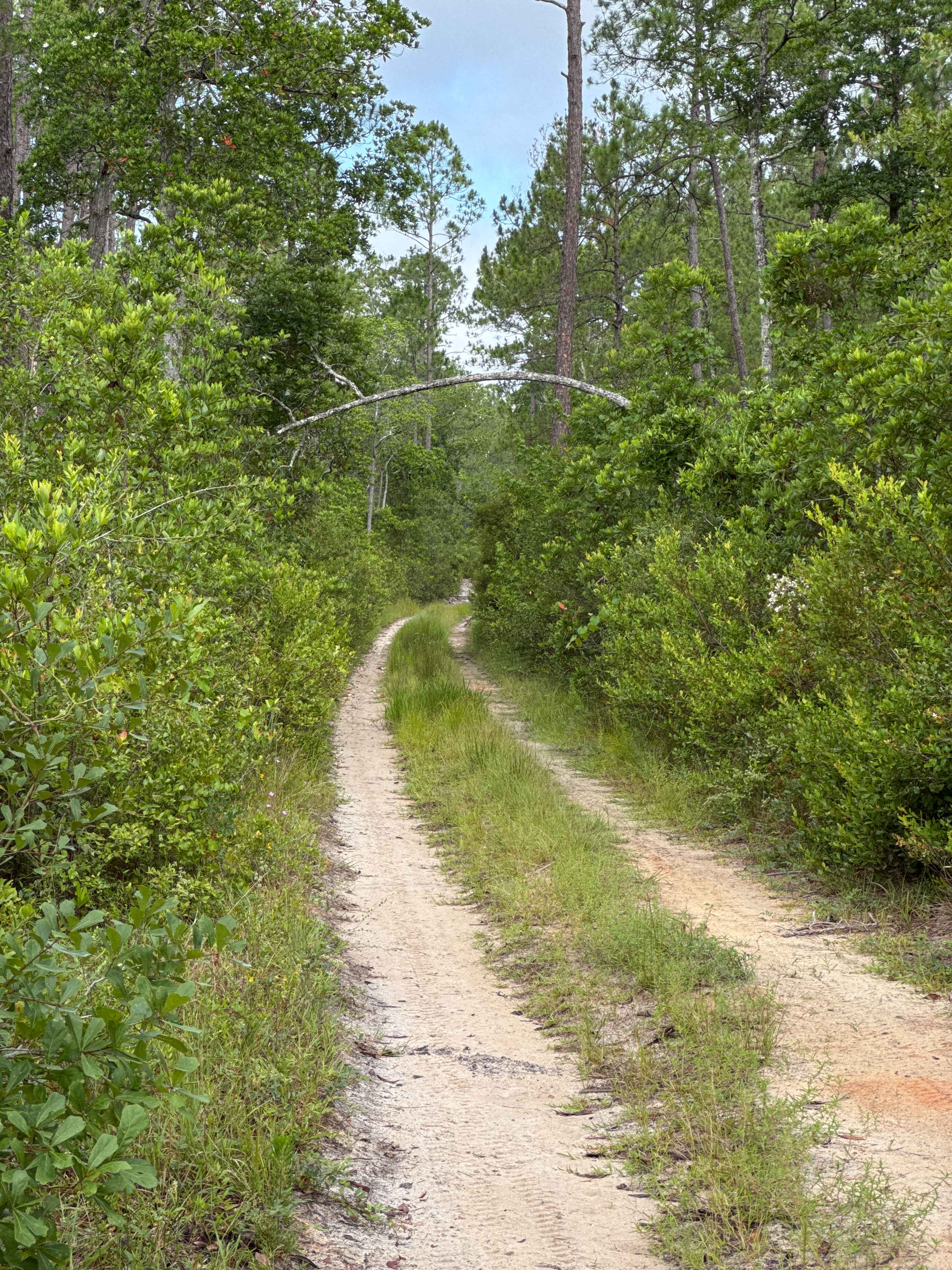
Jumper Creek - FS 34
Total Miles
4.3
Tech Rating
Moderate
Best Time
Spring, Fall, Winter
Learn more about Keel - ONF 61-1.7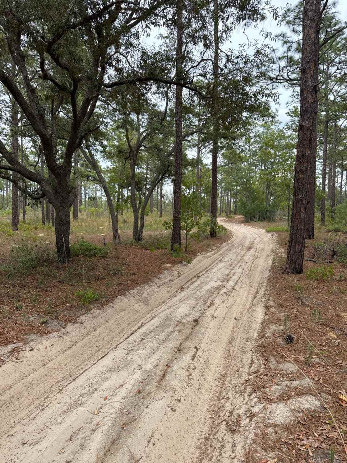
Keel - ONF 61-1.7
Total Miles
3.2
Tech Rating
Moderate
Best Time
Winter, Fall, Spring
Learn more about Kirkland Hammock Trail
Kirkland Hammock Trail
Total Miles
4.1
Tech Rating
Moderate
Best Time
Winter
Learn more about Kirkpatrick Dam Trail
Kirkpatrick Dam Trail
Total Miles
0.7
Tech Rating
Easy
Best Time
Spring, Fall, Winter
ATV trails in Florida
Learn more about 267 - Otter Camp (344)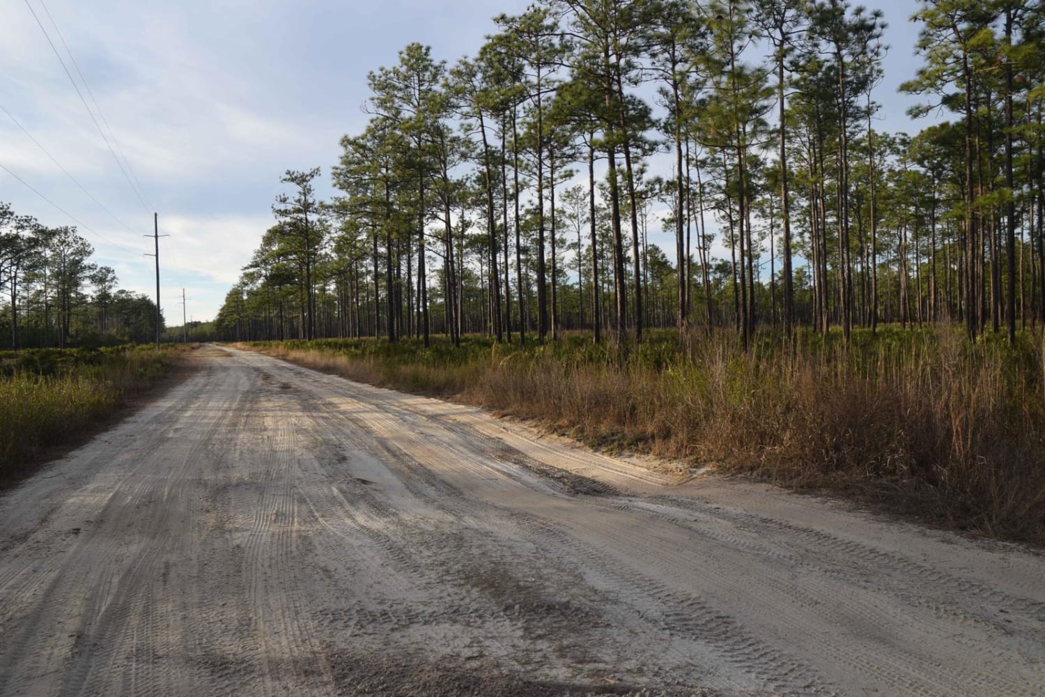
267 - Otter Camp (344)
Total Miles
7.0
Tech Rating
Easy
Best Time
Summer, Fall, Winter, Spring
Learn more about 305 North Pasture 
305 North Pasture
Total Miles
7.1
Tech Rating
Easy
Best Time
Spring, Summer, Fall, Winter
Learn more about 40 Acre Lake
40 Acre Lake
Total Miles
1.4
Tech Rating
Difficult
Best Time
Spring, Summer, Fall, Winter
Learn more about 5 Mile Road Winter Garden - Clermont
5 Mile Road Winter Garden - Clermont
Total Miles
6.5
Tech Rating
Easy
Best Time
Spring, Summer, Fall, Winter
UTV/side-by-side trails in Florida
Learn more about 267 - Otter Camp (344)
267 - Otter Camp (344)
Total Miles
7.0
Tech Rating
Easy
Best Time
Summer, Fall, Winter, Spring
Learn more about 305 North Pasture
305 North Pasture
Total Miles
7.1
Tech Rating
Easy
Best Time
Spring, Summer, Fall, Winter
Learn more about 40 Acre Lake
40 Acre Lake
Total Miles
1.4
Tech Rating
Difficult
Best Time
Spring, Summer, Fall, Winter
Learn more about 5 Mile Road Winter Garden - Clermont
5 Mile Road Winter Garden - Clermont
Total Miles
6.5
Tech Rating
Easy
Best Time
Spring, Summer, Fall, Winter
The onX Offroad Difference
onX Offroad combines trail photos, descriptions, difficulty ratings, width restrictions, seasonality, and more in a user-friendly interface. Available on all devices, with offline access and full compatibility with CarPlay and Android Auto. Discover what you’re missing today!