Lower River Road
Total Miles
2.7
Technical Rating
Best Time
Fall, Winter
Trail Type
Full-Width Road
Accessible By
Trail Overview
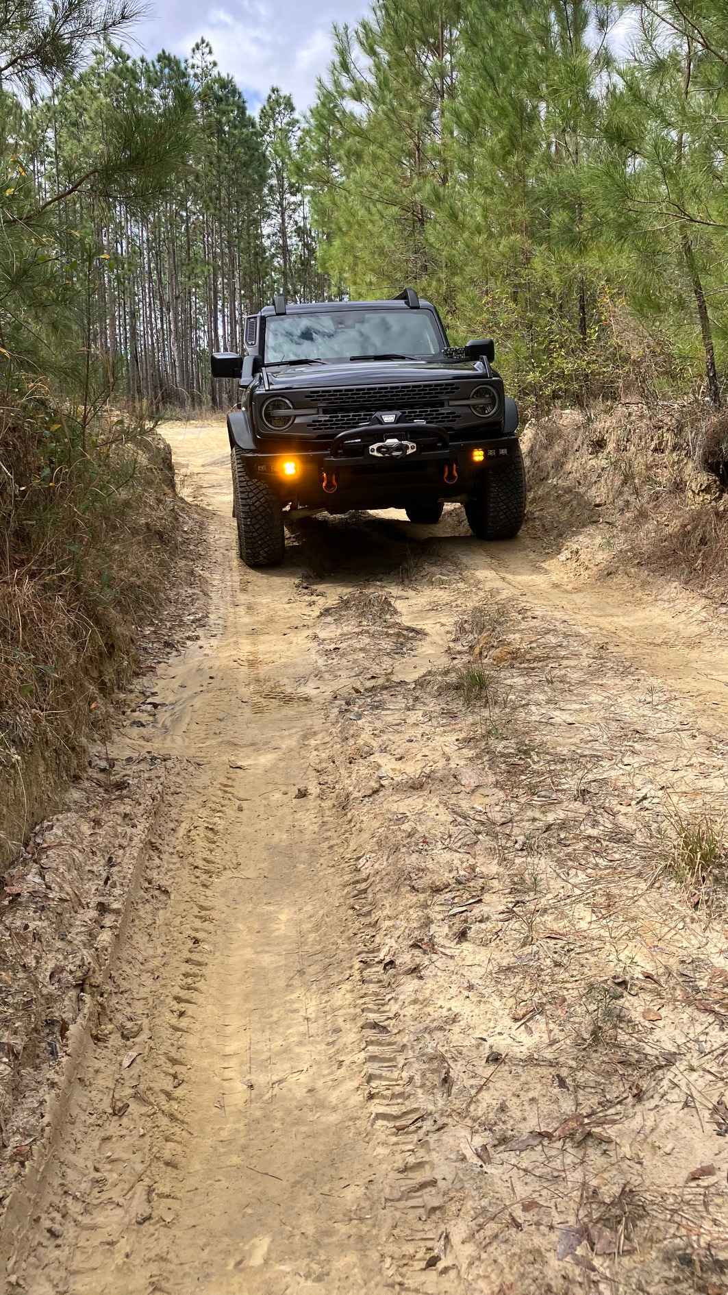
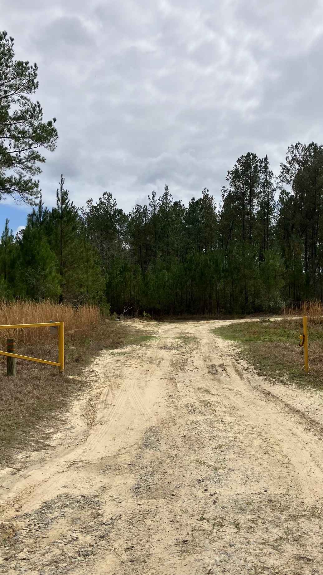
River Road runs west of the Perdido River through the Perdido River Wildlife Management Area. This primitive trail features a challenging mix of deep sand, mud holes, ruts, and occasional water crossings that change with rainfall and river levels. Sandy sections can bog down vehicles in dry weather, while rain turns low spots into slick mud and standing water. Deep ruts and narrow wooded stretches require careful driving. High-clearance 4WD is strongly recommended. Expect remote conditions, limited cell service, and bring recovery gear if traveling the route.
Photos of Lower River Road
Difficulty
This trail features deep sand sections, especially in higher, drier areas, which can quickly bog down 2WD vehicles. Mud holes may be deep, and after rain, the clay soil becomes extremely slick, while low spots often remain flooded with water crossings, puddles, and deep ruts. Narrow wooded sections limit room to pass or turn around, requiring careful navigation.
Status Reports
Lower River Road can be accessed by the following ride types:
- High-Clearance 4x4
- SUV
Lower River Road Map
Popular Trails
Upper West Extention Miami Canal Connect
Citrus Wildlife Management | Trail 20

Babcock-Webb Yucca Pens Unit Road 5

Barbarossa Trail - ONF 54
The onX Offroad Difference
onX Offroad combines trail photos, descriptions, difficulty ratings, width restrictions, seasonality, and more in a user-friendly interface. Available on all devices, with offline access and full compatibility with CarPlay and Android Auto. Discover what you’re missing today!