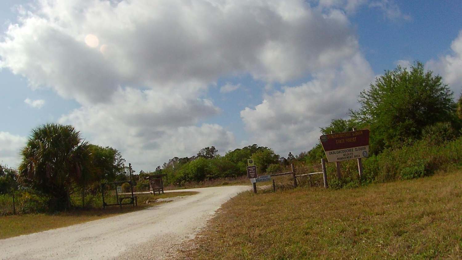
Upper West Extention Miami Canal Connect
Total Miles
4.4
Technical Rating
Best Time
Summer, Spring, Fall, Winter
Trail Type
Full-Width Road
Accessible By
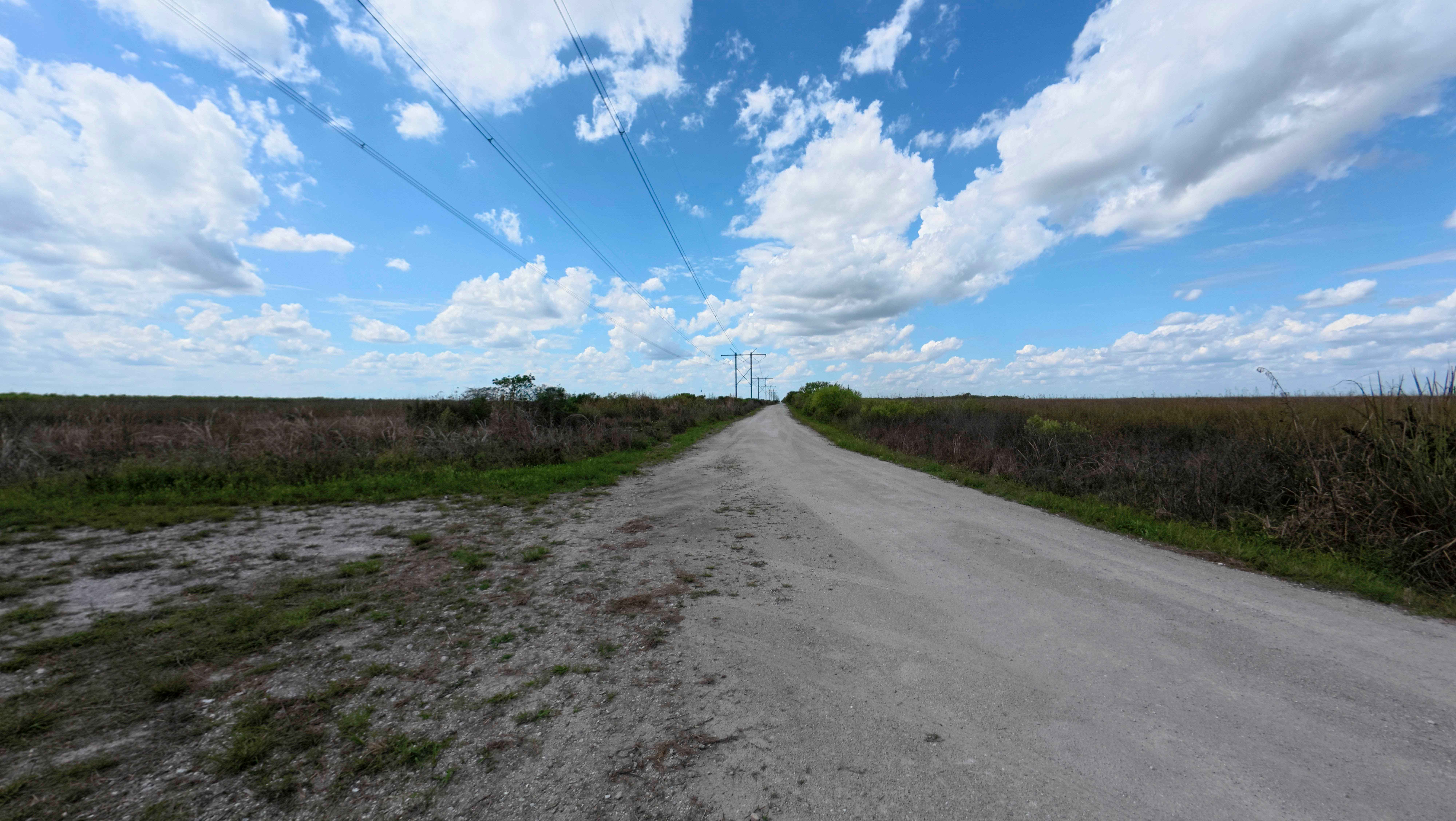
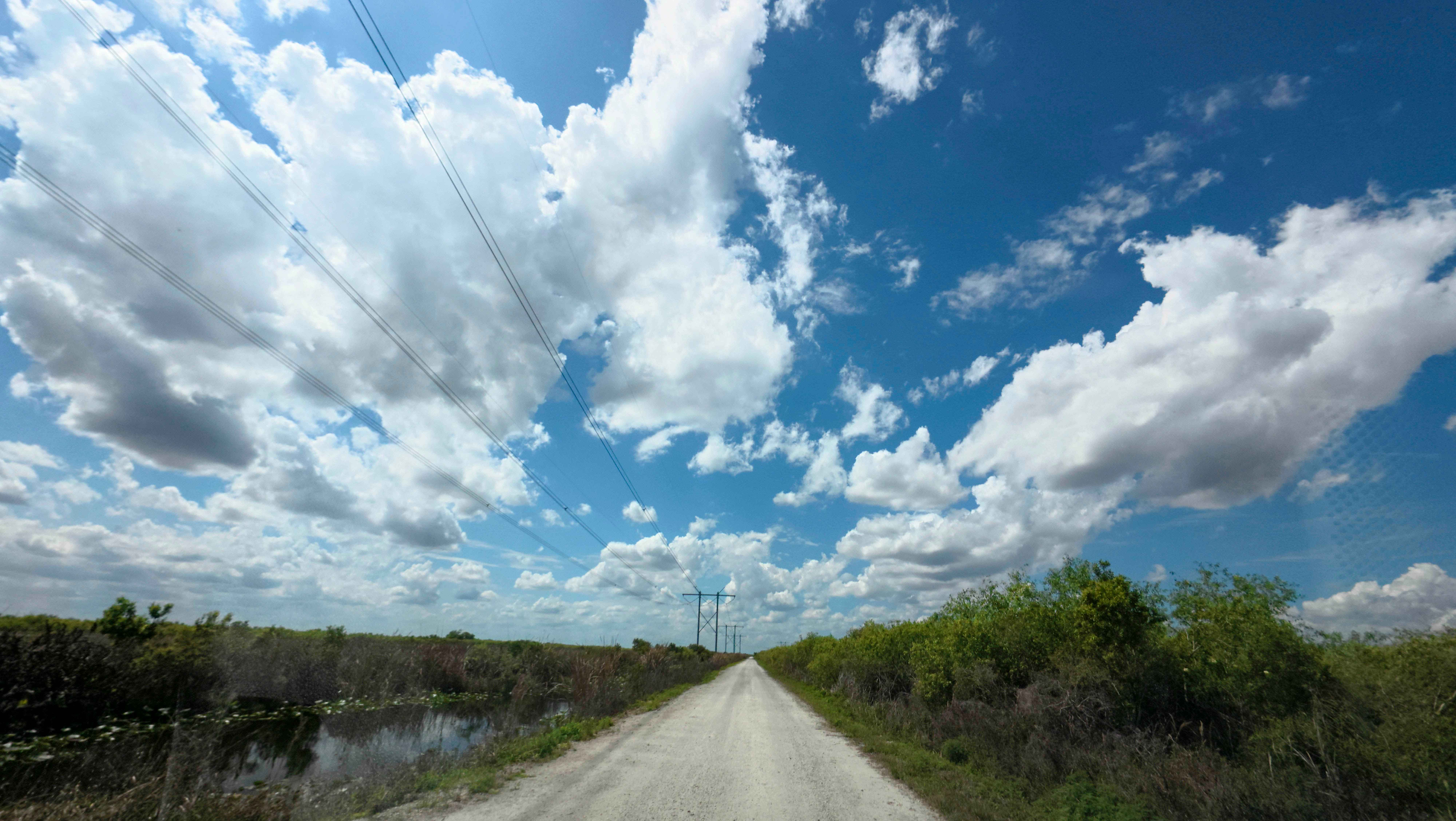
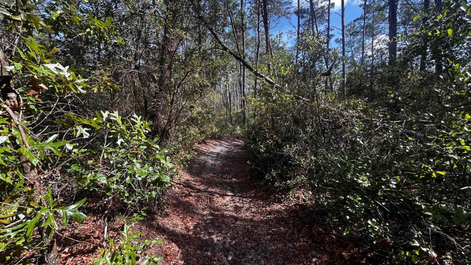
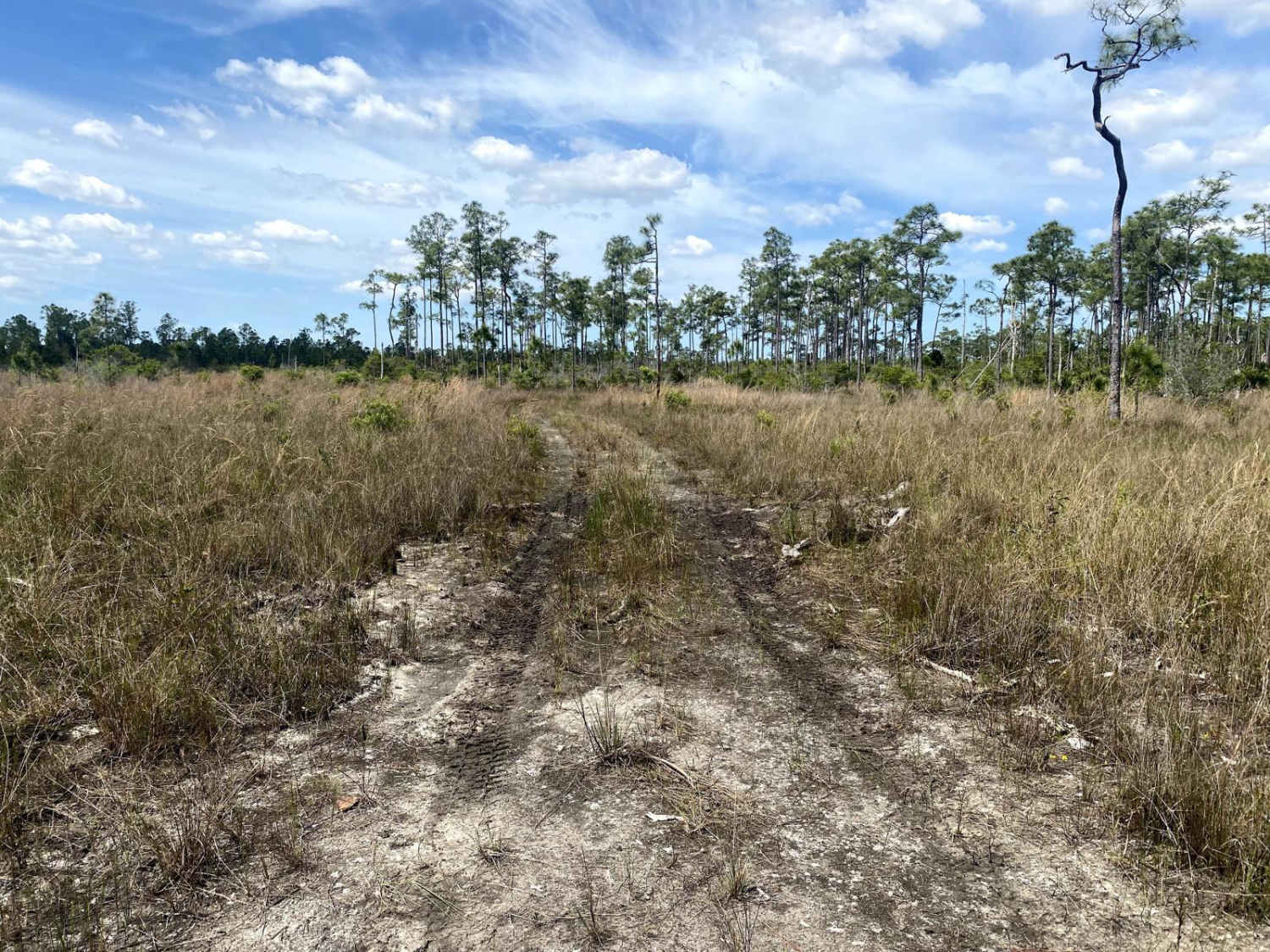
Trail Overview
The West Upper Extension Miami Canal Connect runs east of the main canal corridor, a surface of hardpack dirt, sand, and scattered rocks. While the main path is generally firm in dry weather, it transitions into a network of multiple narrow, one-lane roads that require careful navigation due to very limited passing space. The area is entirely primitive with no bathrooms, campsites, or fees, but it offers reliable cell service and frequent sightings of South Florida wildlife along the water.
Photos of Upper West Extention Miami Canal Connect
Difficulty
This trail is typically easy, but can become more difficult after recent rain. It follows a narrow route with limited space for passing.
Status Reports
Upper West Extention Miami Canal Connect can be accessed by the following ride types:
- High-Clearance 4x4
- SUV
- SxS (60")
- ATV (50")
- Dirt Bike
Upper West Extention Miami Canal Connect Map
Popular Trails

Bradwell Bay - FS 349
The onX Offroad Difference
onX Offroad combines trail photos, descriptions, difficulty ratings, width restrictions, seasonality, and more in a user-friendly interface. Available on all devices, with offline access and full compatibility with CarPlay and Android Auto. Discover what you’re missing today!