Cemetery Road
Total Miles
2.9
Technical Rating
Best Time
Spring, Fall, Winter
Trail Type
Full-Width Road
Accessible By
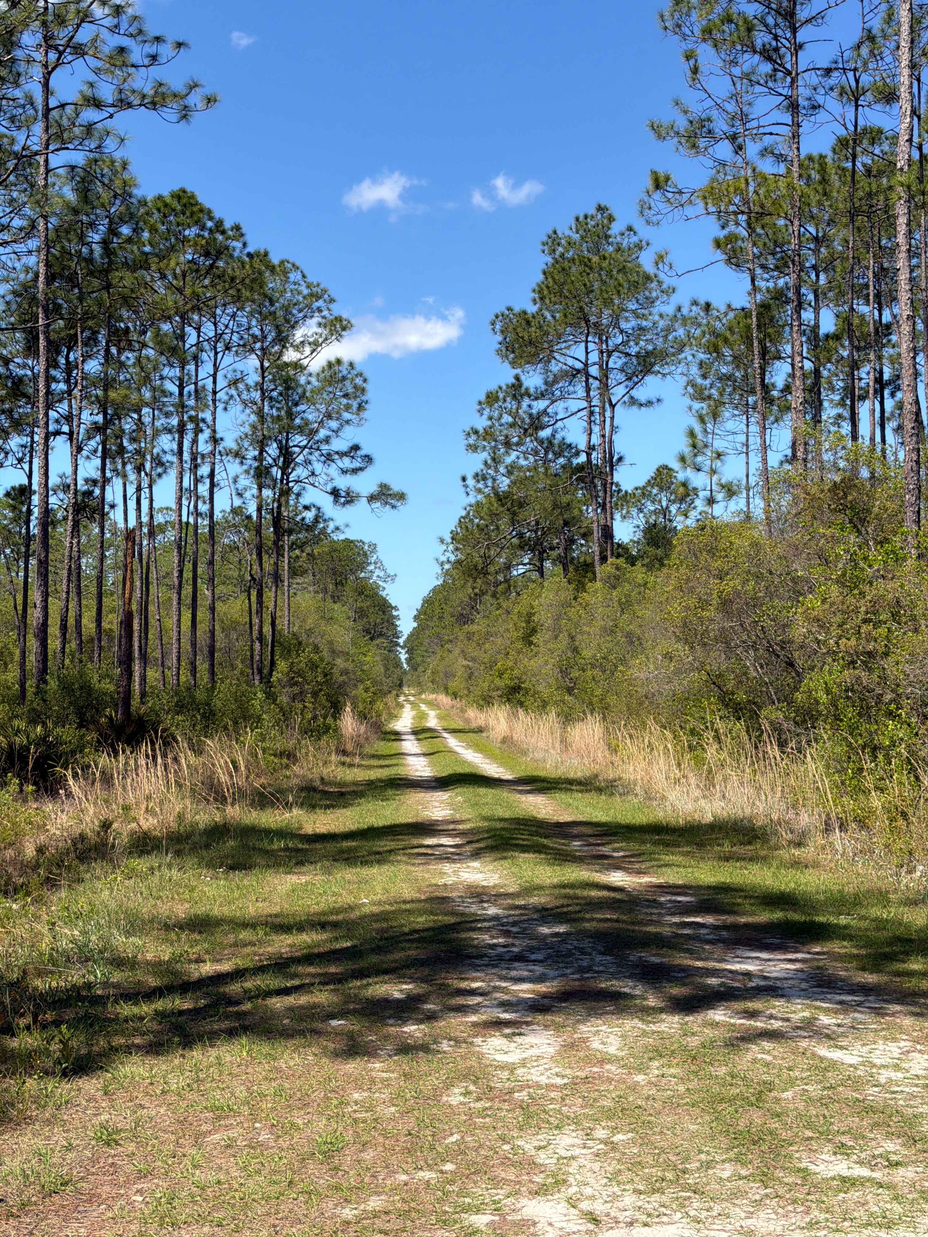
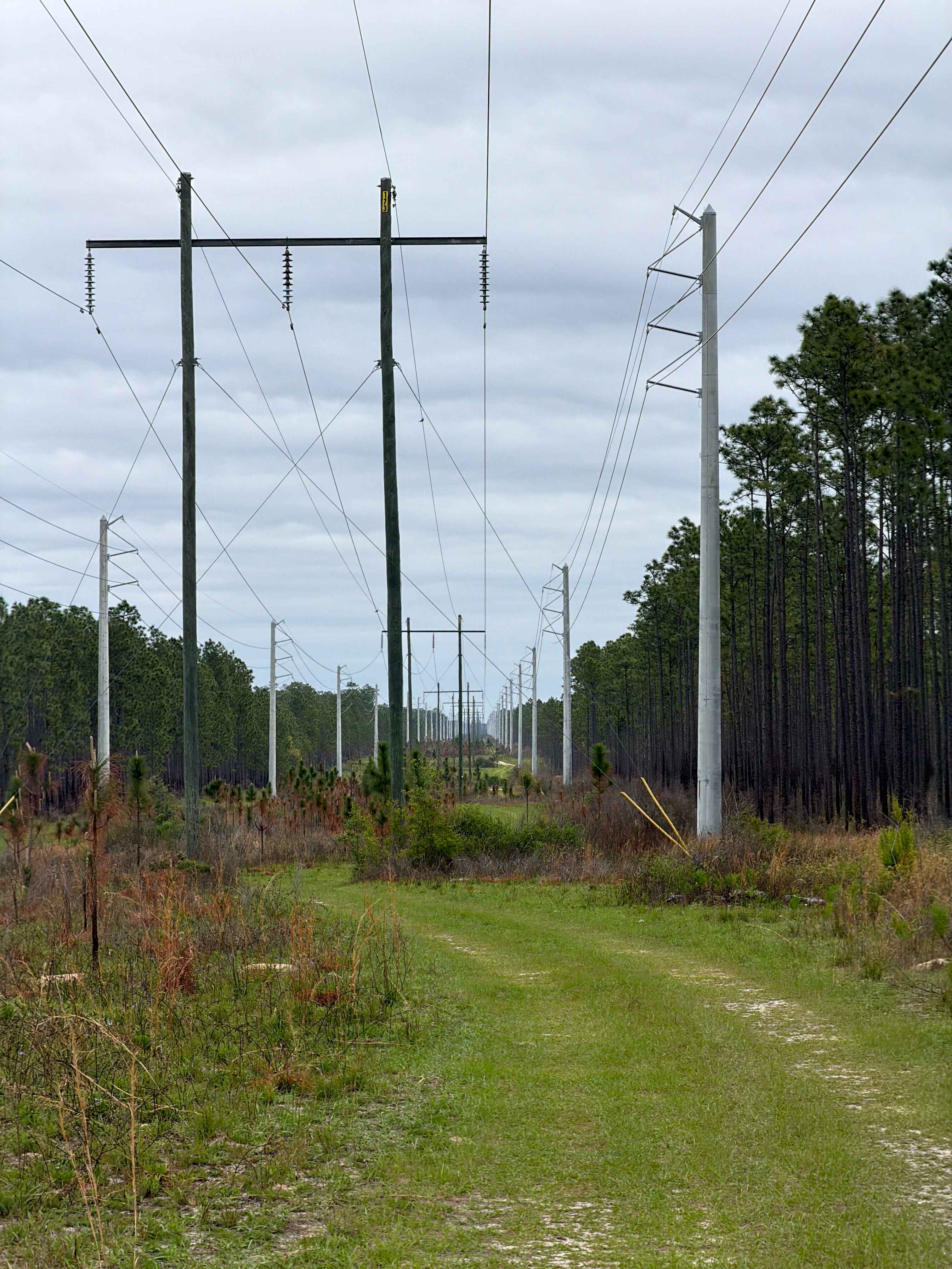
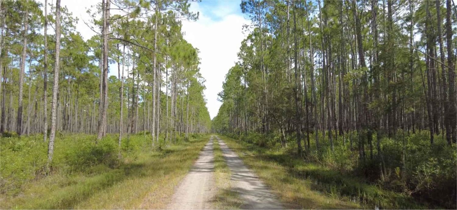
Trail Overview
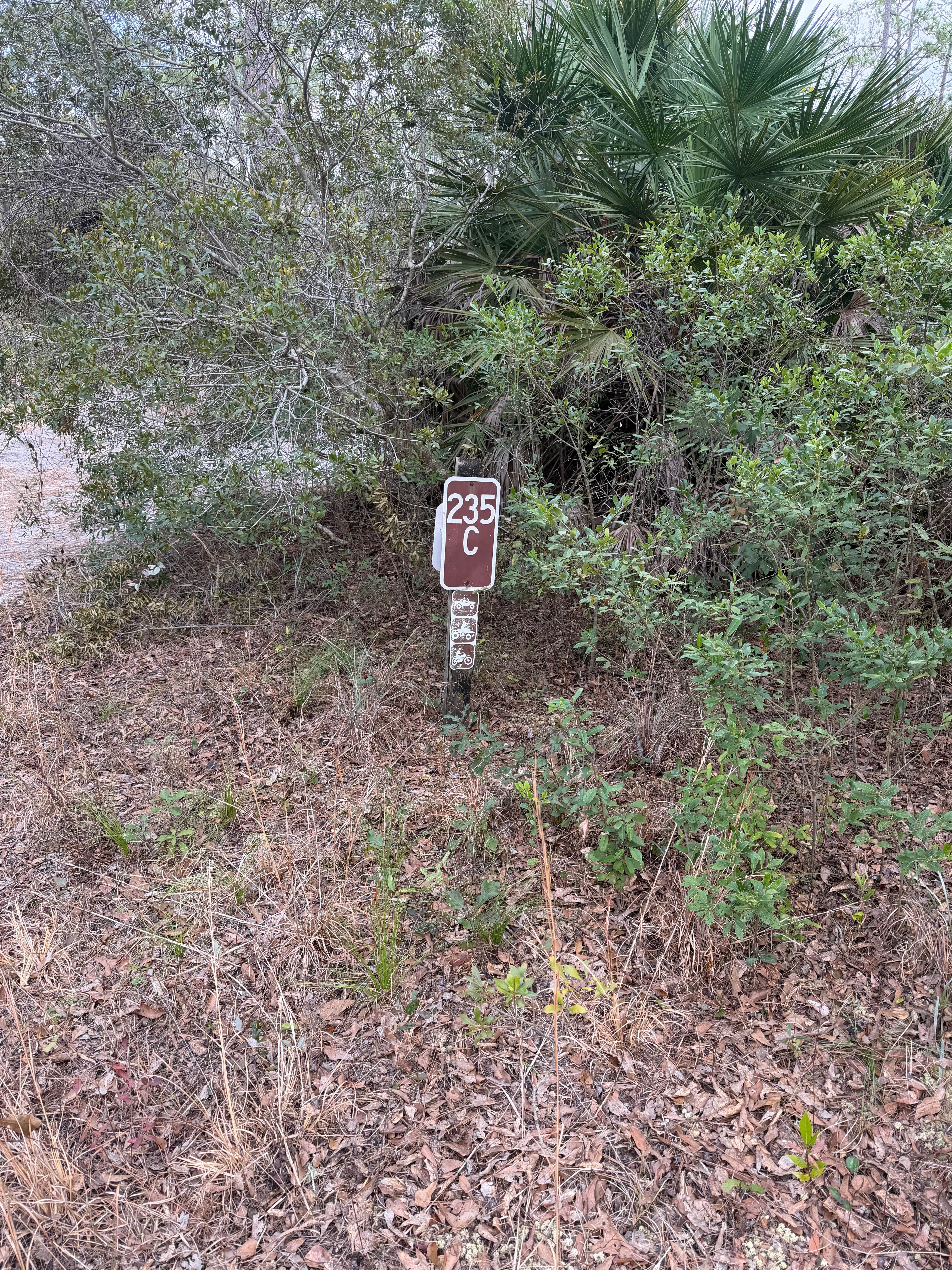
Cemetery Road takes you from Cablegate Road at the south end and Easy Street at the north end of the trail in the northwest part of the Etoniah Creek State Forest. The trail gives you access to several trails, hiking trails, and crosses the 10-mile horseback riding trail several times. The road conditions are a mixture of packed sand, loose sand, and some deep holes that can turn into 2-foot deep mud holes after rainy days. The road is not always wide enough for two vehicles to pass. 4WD and high clearance are recommended. All vehicles must be street legal. ATVs are prohibited. Located just to the south of the 819-acre Georges Lake, Etoniah Creek State Forest has 491 feet of lake frontage. Three shallow creeks (Falling Branch Creek, Etoniah Creek, and Rice Creek) meander through floodplain swamps and bottomland hardwoods. A daily-use or recreational permit is required to enter the State Forest.
Photos of Cemetery Road


Difficulty
This is an easy, non-technical trail unless after heavy rain.
History
The Palatka-to-Lake Butler State Trail, a Florida Rails-to-Trails project, crosses the south side of the forest. The project converted an old railroad bed into a paved multi-use trail.
Status Reports
Cemetery Road can be accessed by the following ride types:
- High-Clearance 4x4
- SUV
- SxS (60")
- Dirt Bike
Cemetery Road Map
Popular Trails
Queens Bay - FS 107
Cary State Forest - Cary Tract
The onX Offroad Difference
onX Offroad combines trail photos, descriptions, difficulty ratings, width restrictions, seasonality, and more in a user-friendly interface. Available on all devices, with offline access and full compatibility with CarPlay and Android Auto. Discover what you’re missing today!